Peak Briones
Hike or Bike this Scenic Loop in Briones Regional Park


{NOTE: Due to atmospheric rivers that can come this time of year, always be sure to check the website for trail closures and hazards before heading out. And of course, wait for better weather and drier conditions before hiking or biking.}
Great views and a killer workout go hand-in-hand on this 6-mile loop through Briones Regional Park. Lace up your boots, pack an extra water, and enjoy this challenging hike through the northern East Bay’s peaks and valleys.
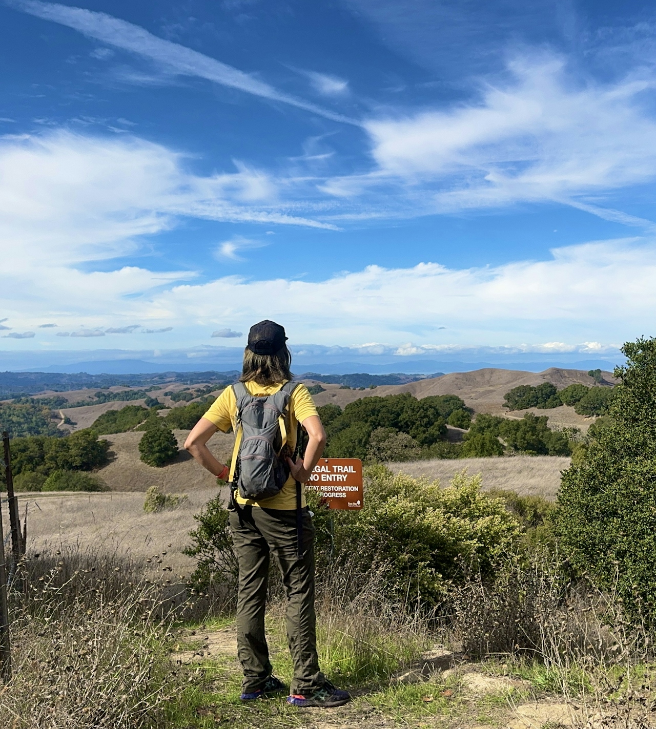
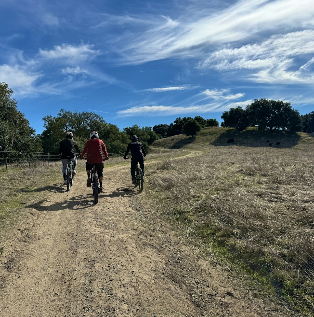
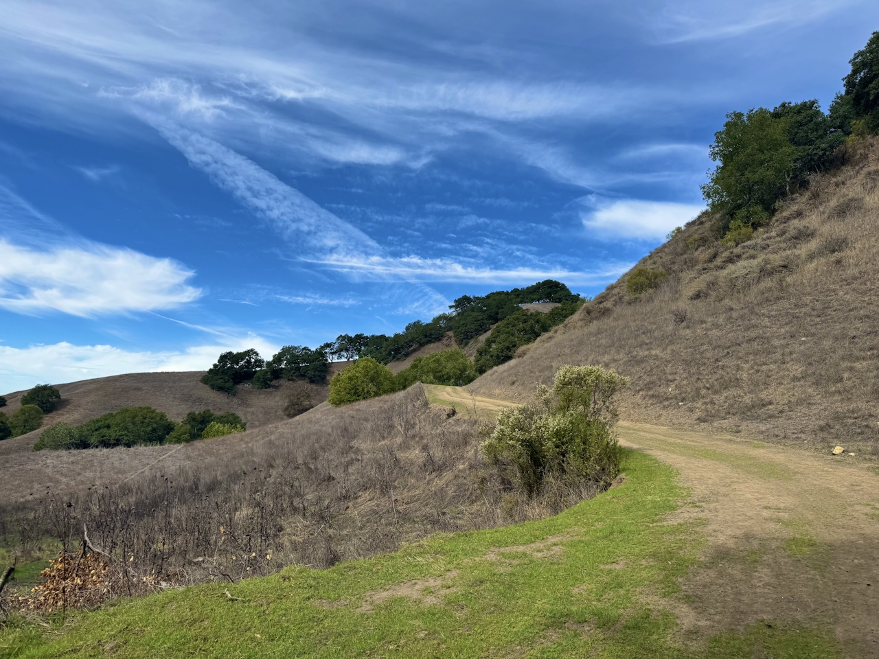
From the Bear Creek Staging Area, hike northeast along Briones Road, and keep right at the fork to follow the Seaborg Trail. This grassy stretch through the rolling hills makes for a stunning backdrop, and hikers will often share this space with cyclists enjoying the view.
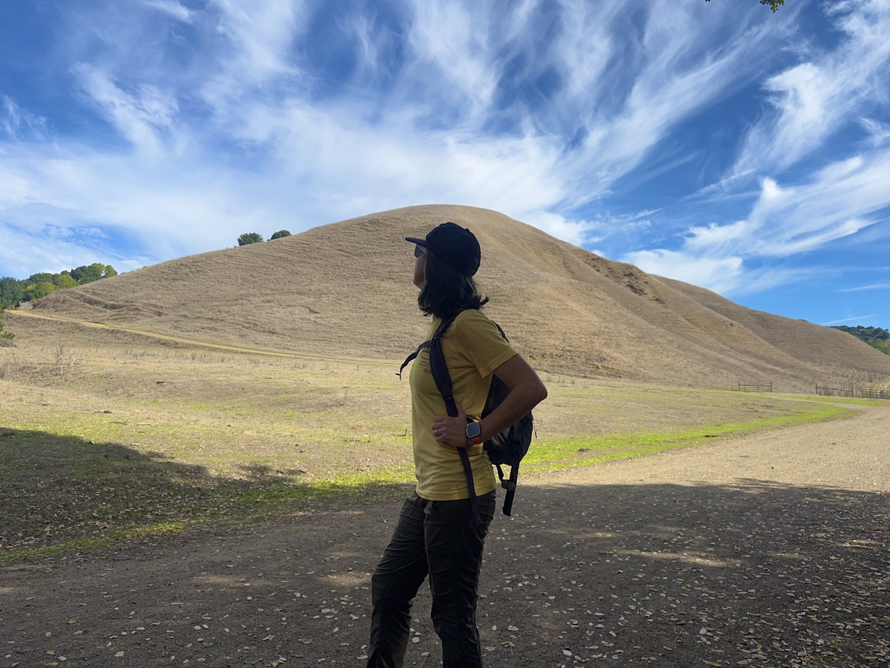
Continue to the intersection with Briones Crest Trail, then turn left. Fitness buffs, this is your time to shine. The route rises and falls over the hills, putting those calf muscles to the test. Feeling the burn?
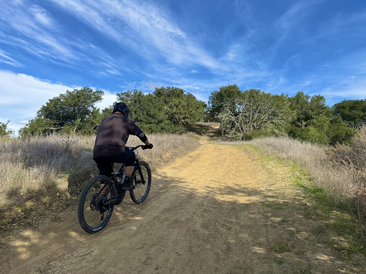
Stop and soak up fabulous views of the surrounding mountains, including the crown jewels of the Diablo Range: both peaks of massive Mount Diablo.
Get Our Weekly Email
Find inspiration and ideas for outdoor adventures and travel in California and the West.
At the intersection with Table Top Trail, turn left to stay on Briones Crest Trail. Immediately after making the turn, look for a break in the wire fence. This will lead to the very top of Briones Peak, standing 1,483 feet high. Snap a summit selfie, then hop back on the main path to continue down Briones Crest Trail.
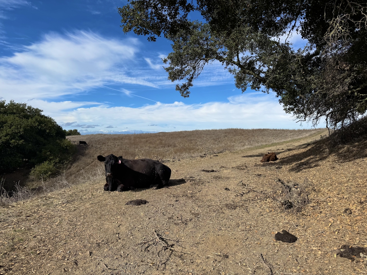
Enjoy views of the Sacramento River to the north, then turn left onto Old Briones Road. This dirt road descends through the hills and winds among cattle grazing areas before leading right back to the parking lot.
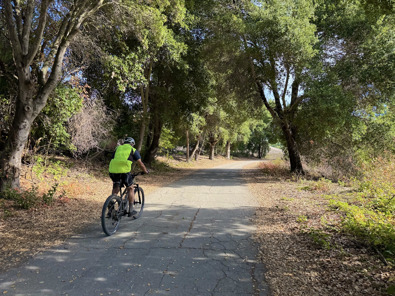
The Bear Creek Staging Area is located at 1611 Bear Creek Rd. in Lafayette. NOTE: This is a more strenuous hike. Be sure to have plenty of water and avoid hot days. With shorter days, start this hike early! Map. Dog-friendly, bike-friendly.







