Purisima Charisma

Hike Purisima Creek Redwoods on the San Mateo Coast

Hike Purisima Creek Open Space Preserve

Hundred-foot redwoods, a shaded canyon, and views overlooking Half Moon Bay. This 10-mile loop hike in Purisima Creek Redwoods Open Space Preserve is a roller-coaster of uphill and downhill along with easygoing stretches through some of the Bay Area’s most beautiful landscape.

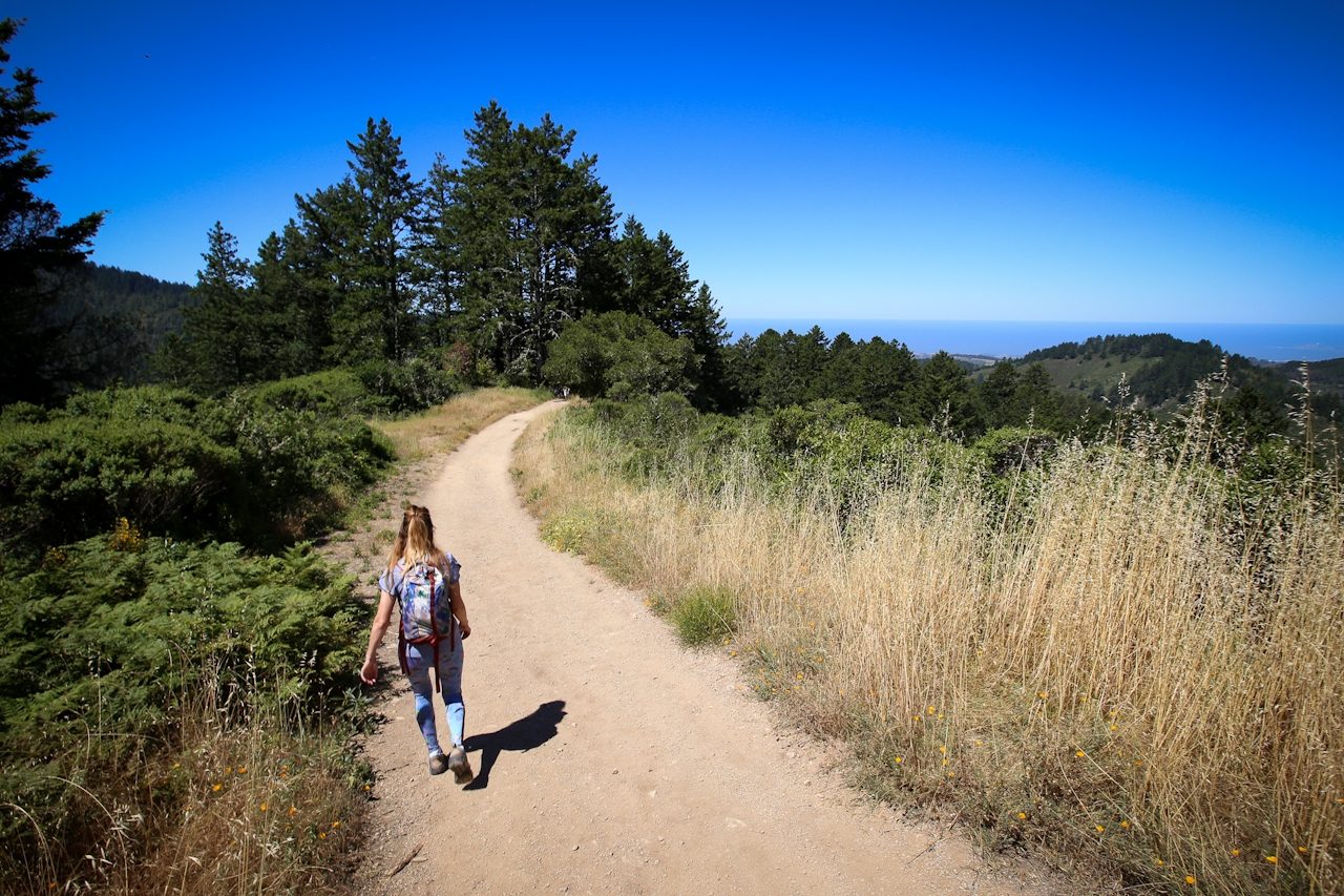
Get an early start and set out from the main trailhead on Skyline Boulevard (Highway 35). It’s a downhill ramble along Harkins Ridge Trail with excellent views of the San Mateo Coast, Half Moon Bay, and Pillar Point.

After a couple of miles you’ll be at Purisima Creek, a generally tranquil spot to take a break and dip your toes in the water. Relax under the canopy of sycamores and second-growth redwoods (all the originals were logged in the early 1900s).
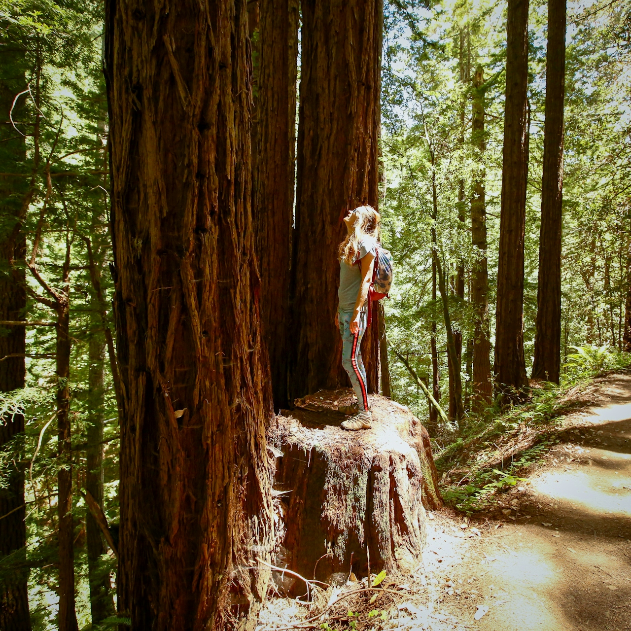
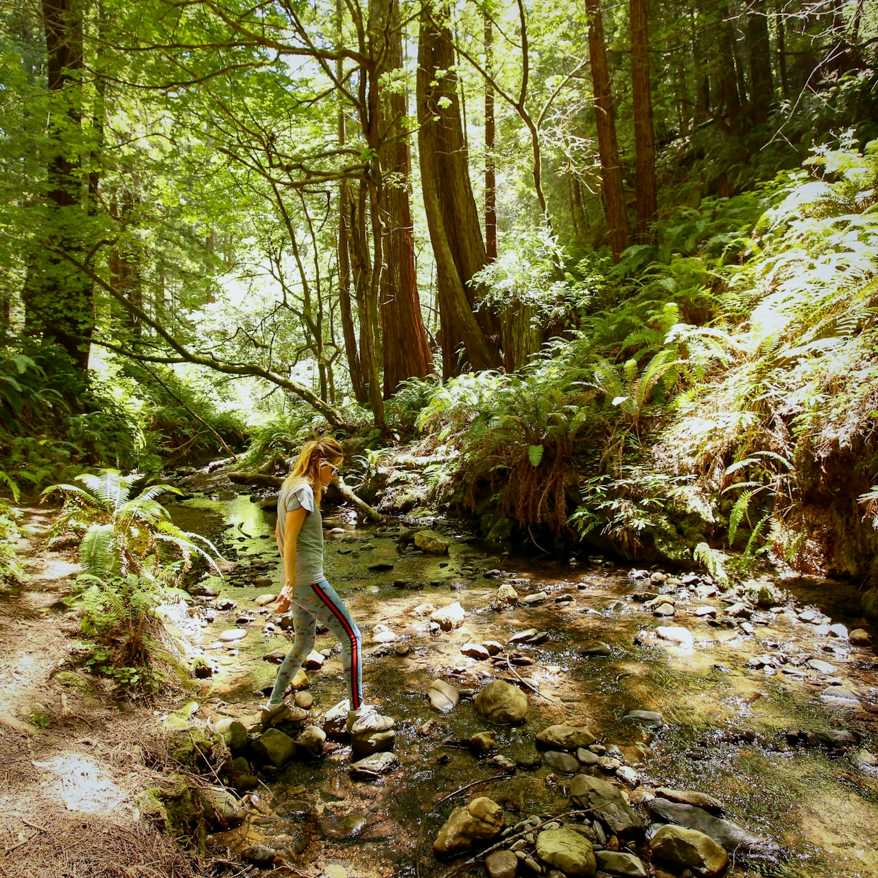
Make a gradual climb up the Purisima Creek Trail—conveniently shaded—before veering onto the skinny, canyon-hugging Craig Britton Trail. Traverse among more beautiful redwoods and across wooden bridges before the final huff and puff back up to the trailhead.

Get involved in helping to protect open spaces like this. Sign up for POST's email newsletter.
Hike Purisima Creek Redwoods

Parking is extremely limited! Start at Purisima Creek Redwoods trailhead on Skyline Blvd. (Hwy. 35), 4.5 miles south of Hwy. 92. Pick up a map at the kiosk. Take the North Ridge Trail and Harding Ridge Trail all the way down to Purisima Creek. Cross the bridge and continue up the Purisima Creek Trail for 2.3 miles. Make a left on Craig Britton Trail and go 2.6 miles. At Harkins Ridge Trail make a right and climb 1.4 miles back to the trailhead. No dogs.

Trending Stories NorCal

View all Stories
  1. Woman with her arms outstretched to the rolling hills scenery while on a rock outcrop at Barnabe Peak in Samuel P Taylor Sate Park in Marin

    Barnabe Bonanza

    Sure, there are higher mountains in Marin (Mount Tam) and easier ascents (Mount Burdell), but is there a more expansive North Bay view? Barnabe Peak in Samuel P. Taylor State Park offers a glorious panorama including Mount Tam, Mount Diablo, and Mount St. Helena.

    View
  2. Hiker on the SCA trail in Marin Headlands with view of the Golden Gate Bridge

    Headlands Over Heels

    People come from all over the world to get a glimpse of the Golden Gate Bridge. Get a dramatic and novel view of the bridge without all the people on this moderate 6-mile hike in the Marin Headlands.

    View
  3. Cheers to Chimney

    If you’re looking for all that Point Reyes has to offer in spring, Chimney Rock is the place to be. The 1.75-mile (round-trip) hike to Chimney may be short, but it packs a visual punch, quadrupling the viewing thrills during spring.

    View

Trending Stories SoCal

View all Stories
  1. Woman hiking the San Onofre Bluffs Loop Trail to San Onofre State Beach in San Diego County

    Bluffing Good!

    Lovely coastline, beautiful beaches, unique geological history, and picturesque sandstone cliffs with limited foot traffic in San Diego County? Head to San Onofre State Beach and the 5-mile San Onofre Bluffs Loop Trail.

    View
  2. Can We Get a Whoop Whoop!

    City, mountain, and ocean views all in one hike? Whoop whoop! It’s no surprise the the Kenter Fire Road and Whoop-de-Doos Trail (a combo of fire road and singletrack) is a favorite among local mountain bikers and hikers alike.

    View
  3. The Big Chill

    In LA, finding a place to chill can be the ultimate flex. So flex, in Franklin Canyon! This unexpected oasis has plenty of shade, cool lake breezes, and ample picnicking spots. Enjoy it on an easy-going 1-mile stroll along its reservoir and duck pond.

    View





