Tachevah Canyon

Hike Tachevah Canyon Rim-to-Rim

Hike Tachevah Canyon

Grand is great and all, but little canyons can make big impressions too. Take Tachevah Canyon’s rim-to-rim hike in the San Jacinto mountain range.

This 4.7-mile (round-trip) out-and-back hike features some dynamic desert landscape. The North Carl Lykken Trailhead is clearly marked, and–trail bonus—keep an eye out for grazing bighorn sheep.
Hike Tachevah Canyon Rim to Rim San Jacinto mountain range

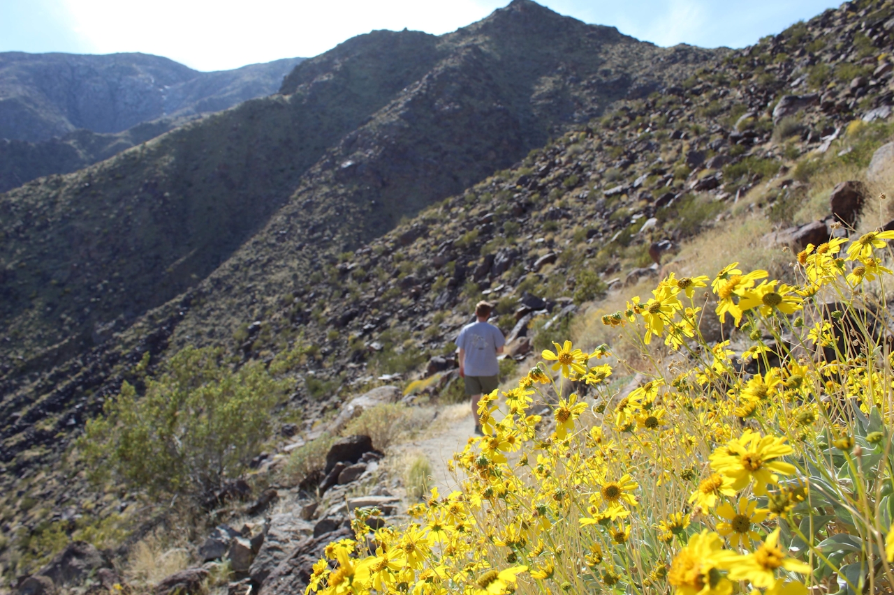
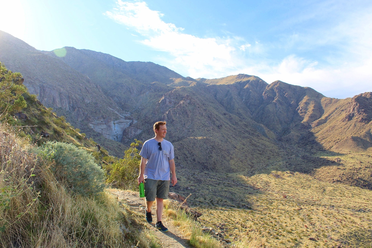
The hike gets down to business immediately, ascending almost 300 feet. At the apex, rest at the picnic table as you take in your first big view of Tachevah Canyon and the Palm Springs desert beyond. Descending into the canyon you’re likely to notice bright yellow brittlebushes and red chuparosa shrubs.
Hike Tachevah Canyon Rim to Rim San Jacinto mountain range

After just over a mile, you’ll come to a flat rock face with water runoff. It’s easy to spot, as the light granite is in stark contrast to the dark and colorful surroundings.

Plentiful water runoff forms a waterfall here. The trail is easy enough to follow, though at 1.6 miles there’s a blink-and-you’ll-miss-it right turn up the other hillside of Tachevah Canyon.
Hike Tachevah Canyon Rim to Rim San Jacinto mountain range

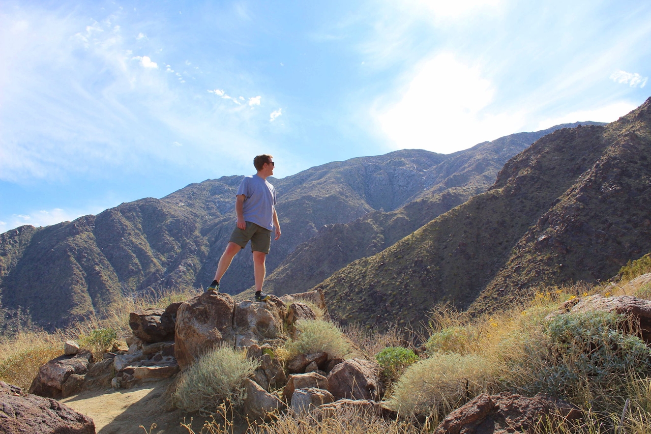
You’ll be able to spot a few chollas and barrel cactus. Follow the trail up until you reach a three-way fork marked by a hiking sign. This completes the rim to rim.

From the I-10 take the CA-111 interchange toward Palm Springs. After 9.1 miles turn right onto W. Via Escuela. Turn left onto N. Via Norte and then right at the third cross street onto W. Chino Canyon Rd. and then a left onto W. Panorama Rd. Make a slight left onto W. Cielo Dr., and the trailhead will be at the end of the road. No dogs.

Trending Stories NorCal

View all Stories
  1. Barbary Coast Trail medallion hike in San Francisco

    Medallion Walk SF

    The Barbary Coast Trail is a 3.8-mile historical walk and treasure hunt through San Francisco. Be on the lookout for hubcap-sized bronze medallions placed on the city sidewalks with arrows pointing you in the right direction.

    View
  2. Greater by the Dozen

    This hike is anything but a dime a dozen. The all-new "Golden Gate Dozen Trail" links 12 National Park sites on a spectacular 13-mile journey across San Francisco's coastline.

    View
  3. Inn-spiration Point!

    For more than a century, people have been hiking or mountain biking to West Point Inn for good reason. Perched at 1,785 feet on the southern slope of Mount Tamalpais, the historic inn has sweeping views from the Marin Headlands to the San Francisco skyline.

    View
  4. A Thousand Steps to Paradise

    A picture is worth a thousand words, but is a gorgeous beach in Laguna worth a thousand steps? The answer is yes, though the question is moot, because it’s only 223 steep steps down to the 400-yard stretch of sand known as 1000 Steps Beach.

    View

Trending Stories SoCal

View all Stories
  1. Roaring Redwoods

    Tucked next to brilliant Henry Cowell Redwoods State Park in Santa Cruz, the folks at Roaring Camp Railroads had a bright idea: When the sun goes down, the rainbow lights come up. Sequoias at Night brings big magic to some of the tallest trees in the world.

    View
  2. There's Always To Moro!

    Looking for a rock-solid itinerary in Sequoia National Park? Pair the park's most famous viewpoint with one that's often overlooked.

    View
  3. Rancho Style

    Vicente Bluffs Reserve dazzles anytime, but during the golden hour it’s an absolute knockout. Majestic rocky bluffs, dreamy ocean views, and a picturesque lighthouse are just a few of the reasons.

    View
  4. Sponsored

    Take the Exit to the Best of the San Francisco Peninsula

    The San Francisco Peninsula is proof that some of Northern California’s greatest surprises are hiding just off Highway 101. All you have to do is take the exit.

    View





