Skull On!
Hike Temescal Canyon in Los Angeles County For Great Views and Bonuses

{FEBRUARY 2024 NOTE: Stay safe. Wait until storms have passed before hiking any trails, and before heading out check official websites for updates on trail status, closures, hazards, etc. Expect wet, muddy, and slippery trails, and exercise caution and good judgment, including with water crossings. Do not cross swift flowing waters. Proper hiking shoes are essential, and an extra pair of socks to change into is recommended. We also recommend waiting a week or so post-rains to let conditions calm down, and keeping up to date on trail conditions.}
Make no bones about it. The trek to Skull Rock in Temescal Gateway Park in Pacific Palisades is one of the best hikes in greater Los Angeles. This 4.6-mile loop has it all: A 1,100-foot climb up to an ominous-looking quarry, picture-perfect panoramic views, a seasonal waterfall, and the ultimate LA score: easy parking and access from the city.


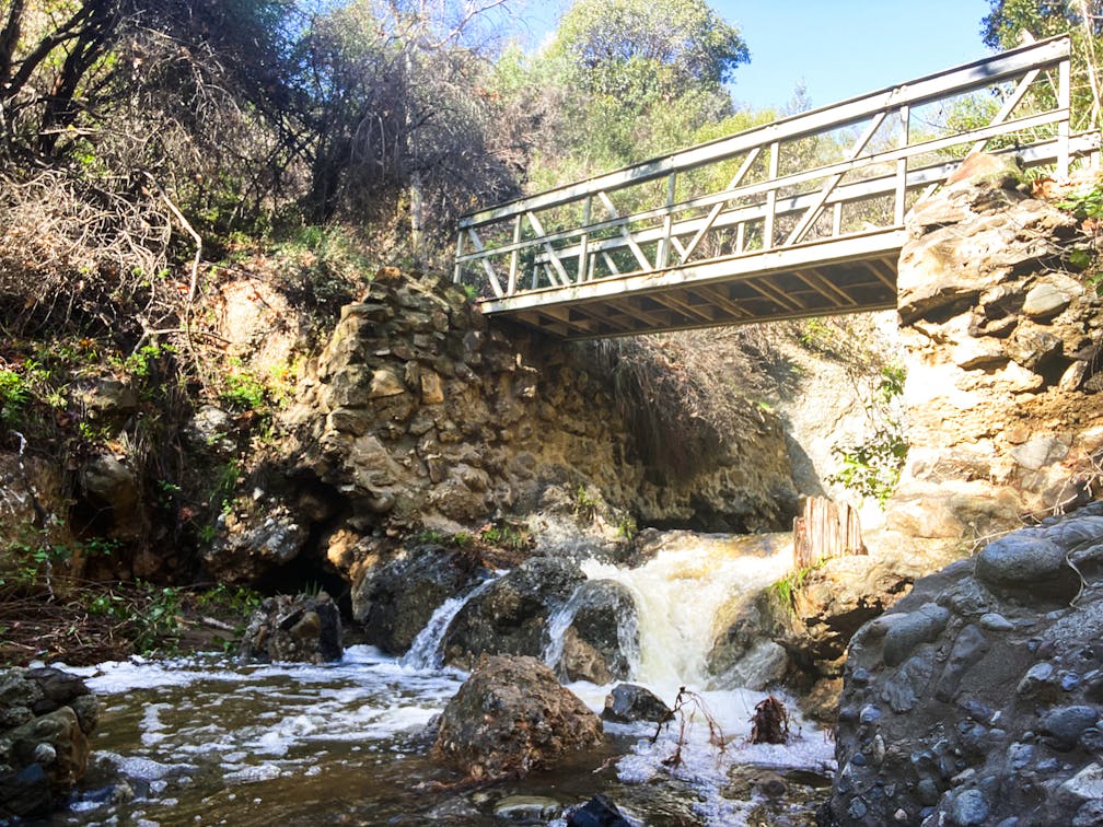
Start at the Temescal Canyon trailhead at the southwestern corner of the parking lot. Ignore the stairs and walk past the cabins, making a left at the dam and through the gate. After a shady grove of coast live oaks, you’ll begin climbing an exposed rocky ridge leading you to a tiny bridge and waterfall. Most of the year, there’s not much to see, but after a winter rain, the cascade can be pretty and plentiful.

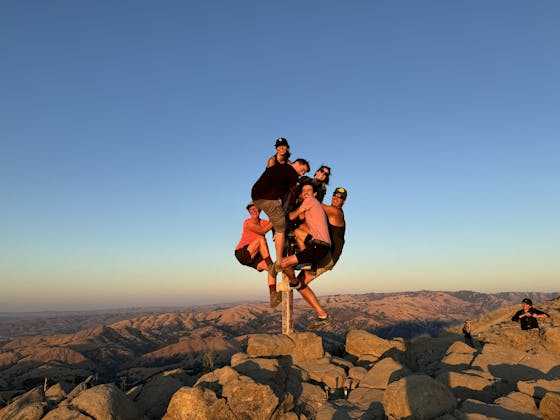
Climb for another mile (passing the junction and keeping straight on Temescal Ridge Trail), and you’ll arrive at Skull Rock, a majestic boulder that eerily resembles a skeletal profile.


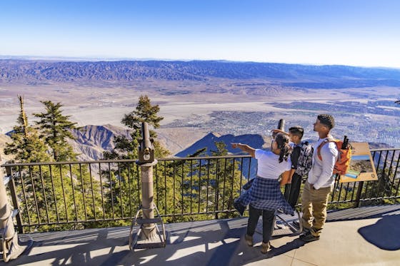
Skull Rock itself has a rope attached if you would like to scale it and sit in the “eye.” But you don’t have to. Scramble on any of the nearby rocks, and you’ll be rewarded with spine-tingling views of the Pacific and the neighboring coastal towns.

Retrace your steps back at the junction, this time making a right. Avoid the Bienvenido Trail and follow the Temescal Ridge Trail to Sunset Blvd. This part of the route feels particularly cinematic, with wide-open skies and colorful chaparral, leading you to a second overlook with ocean and cityscape vistas. Soak them up, and then descend down the canyon to close the loop where you started.

To get to the Temescal Gateway Park lot and trailhead, take Pacific Coast Hwy. to Temescal Canyon Rd. After just over 1 mile, you reach the intersection with Sunset Blvd. The parking lot is just north of Sunset on your left. Park at the lot ($12 day pass), or find street parking. While the park is dog-friendly, dogs are not allowed on the trail.
Story and photos by Yvonne Pasquini, @yvonne_pasquini


