Lucky as a Horseshoe

Hike to Horseshoe Lake in Skyline Ridge Open Space Preserve

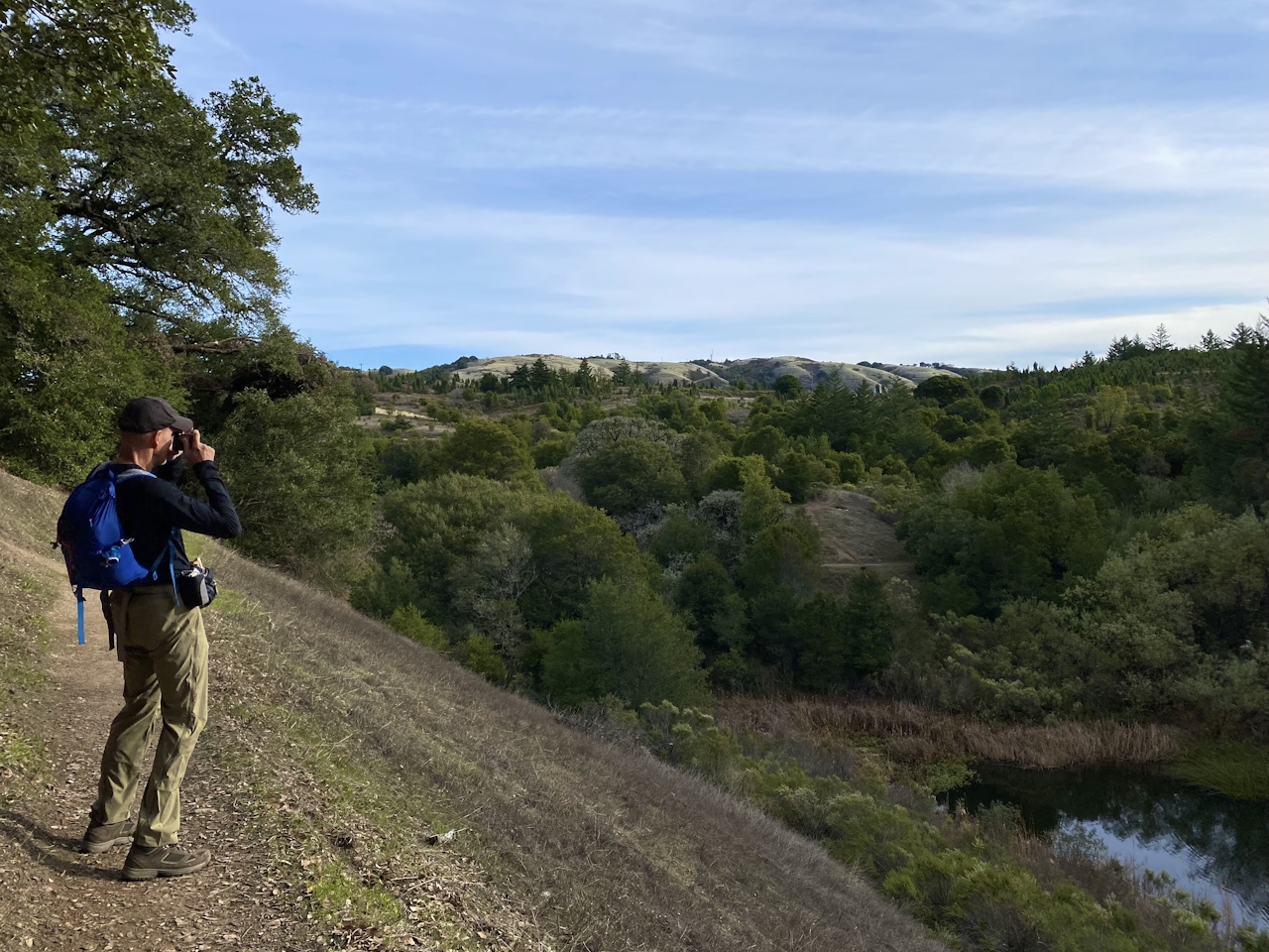
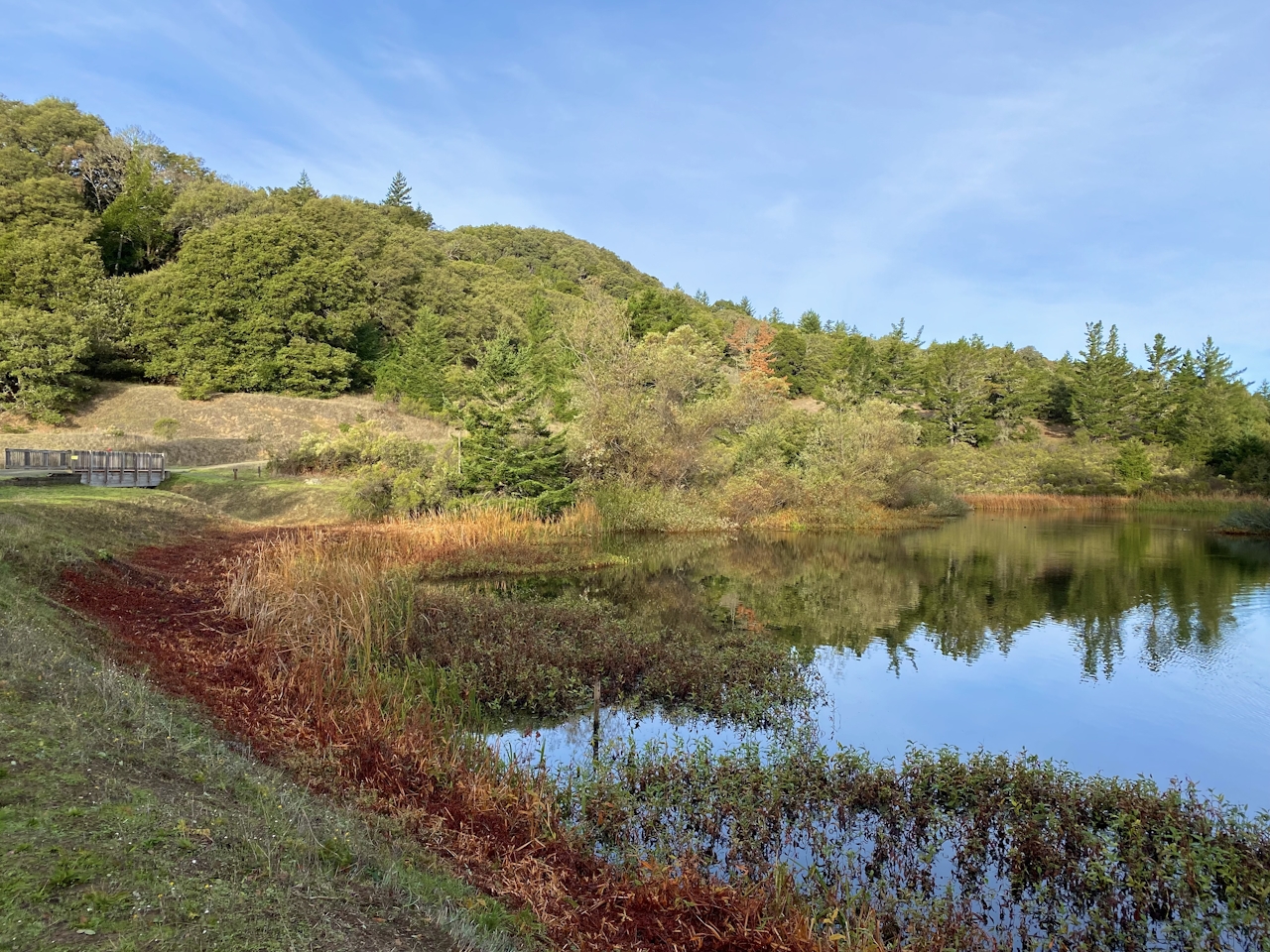
Horseshoe Lake in Skyline Ridge Open Space Preserve gets adventurers young and old up close to some of the Bay Area’s best winged wildlife along its namesake shoreline via a 3.5-mile (round-trip) hike that’s easy and tranquil.
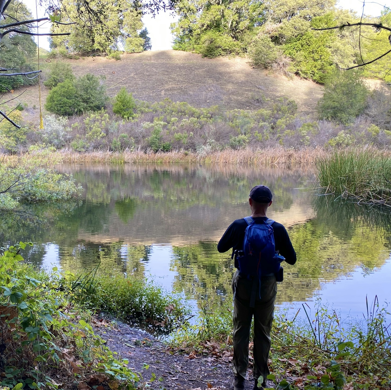
From the main Skyline Ridge parking lot, follow the Ridge Trail until it intersects a dirt road, then bear left onto the Horseshoe Loop Trail. This route takes you up over Horseshoe Lake, rewarding you with a bird’s-eye view of the water below. A secluded picnic area a quarter mile along the trail is an idyllic spot for lunch.
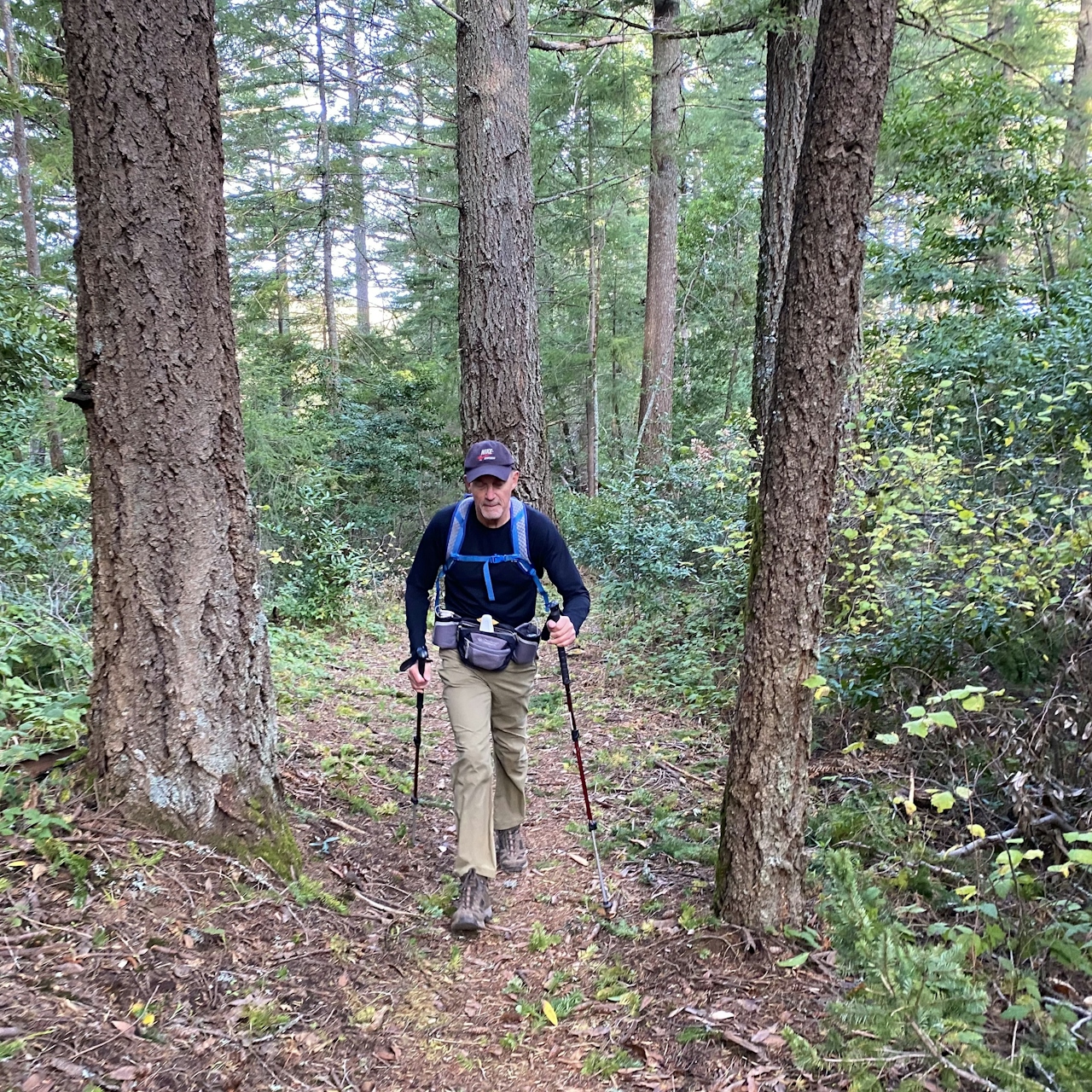
The loop continues onto Tree Farm Trail and Fir Knoll Trail for a quick jaunt into the forest for a 1-mile (total) detour lined with fir and hemlock that release a festive holiday aroma as you crunch through the fallen needles. (For even more holiday cheer, the neighboring Christmas tree farm is visible through the forest.)

As you return to Horseshoe Lake, be on the lookout for local wildlife. Home to coots, ducks, quails, and heron, this is one of the best bird-watching sites in the area. To complete the loop, hikers can follow the Ridge Trail to return to the parking lot. For those craving a little more adventure, turn onto Sunny Jim Trail, and bear right onto Ipiwa Trail. This hilly route is a great physical challenge, and is home to California fuchsia, a crimson late-season wildflower. Enjoy a gorgeous panorama of the surrounding Los Gatos Mountains before returning to the parking lot.

The preserve’s entrance is located on Skyline Blvd., about 1 mile south of the intersection of Page Mill Rd. / Alpine Rd. and Skyline Blvd. (Hwy. 35). Dogs are not permitted in Skyline Ridge Open Space Preserve. Trails are open a half-hour before sunrise until a half-hour after sunset. No dogs.

Story and photos by Poe Casavant

Trending Stories NorCal

View all Stories
  1. Woman with her arms outstretched to the rolling hills scenery while on a rock outcrop at Barnabe Peak in Samuel P Taylor Sate Park in Marin

    Barnabe Bonanza

    Sure, there are higher mountains in Marin (Mount Tam) and easier ascents (Mount Burdell), but is there a more expansive North Bay view? Barnabe Peak in Samuel P. Taylor State Park offers a glorious panorama including Mount Tam, Mount Diablo, and Mount St. Helena.

    View
  2. Hiker on the SCA trail in Marin Headlands with view of the Golden Gate Bridge

    Headlands Over Heels

    People come from all over the world to get a glimpse of the Golden Gate Bridge. Get a dramatic and novel view of the bridge without all the people on this moderate 6-mile hike in the Marin Headlands.

    View
  3. Barbary Coast Trail medallion hike in San Francisco

    Medallion Walk SF

    The Barbary Coast Trail is a 3.8-mile historical walk and treasure hunt through San Francisco. Be on the lookout for hubcap-sized bronze medallions placed on the city sidewalks with arrows pointing you in the right direction.

    View

Trending Stories SoCal

View all Stories
  1. Woman hiking the San Onofre Bluffs Loop Trail to San Onofre State Beach in San Diego County

    Bluffing Good!

    Lovely coastline, beautiful beaches, unique geological history, and picturesque sandstone cliffs with limited foot traffic in San Diego County? Head to San Onofre State Beach and the 5-mile San Onofre Bluffs Loop Trail.

    View
  2. Can We Get a Whoop Whoop!

    City, mountain, and ocean views all in one hike? Whoop whoop! It’s no surprise the the Kenter Fire Road and Whoop-de-Doos Trail (a combo of fire road and singletrack) is a favorite among local mountain bikers and hikers alike.

    View
  3. The Big Chill

    In LA, finding a place to chill can be the ultimate flex. So flex, in Franklin Canyon! This unexpected oasis has plenty of shade, cool lake breezes, and ample picnicking spots. Enjoy it on an easy-going 1-mile stroll along its reservoir and duck pond.

    View