Palo Corona

Pointing It Out

Hike to Inspiration Point in Carmel's Palo Corona Regional Park

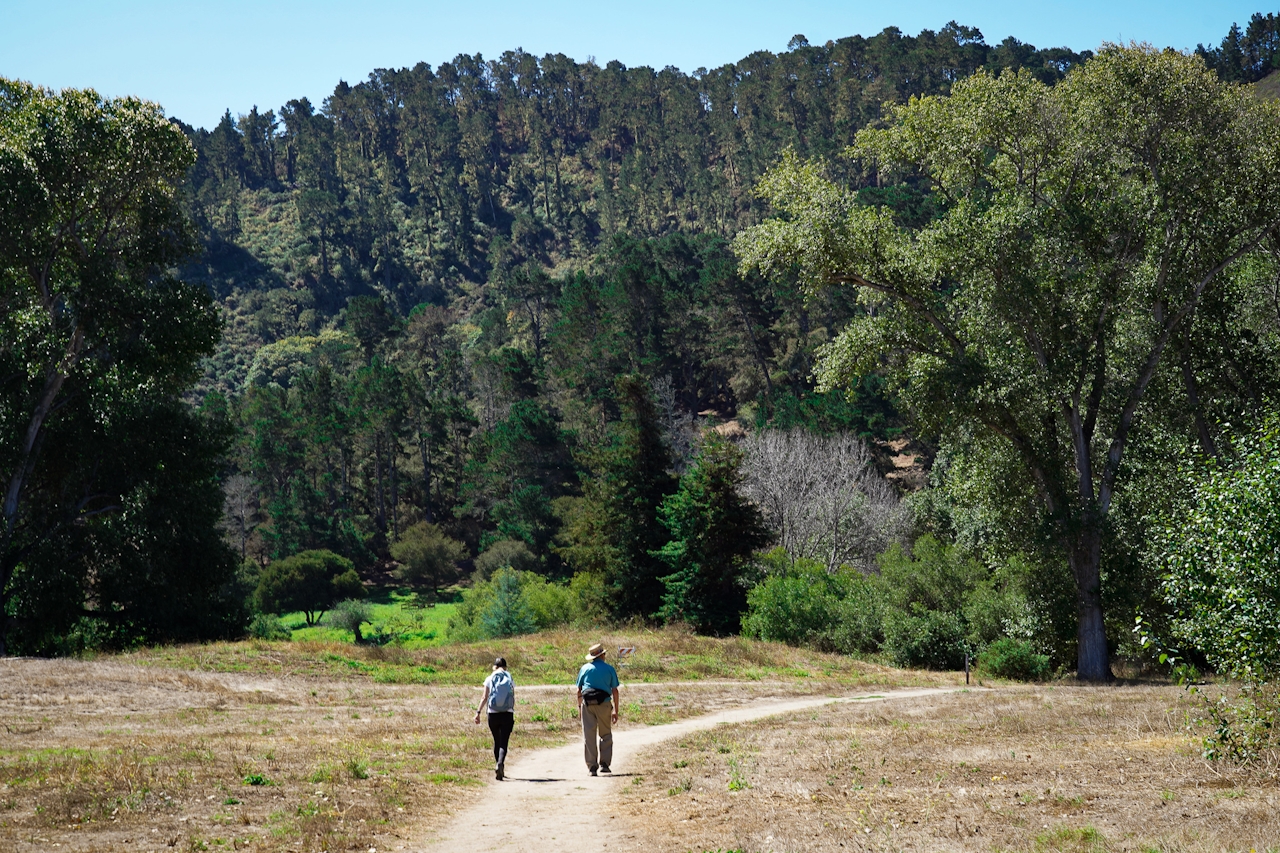
Wanna hike where the locals do? Visit the new Palo Corona Regional Park in Carmel for a 4.5-mile (round-trip) journey through a beautiful oak forest and up to Inspiration Point. Along the way, you’ll enjoy a cooling breeze courtesy of the nearby ocean, as well as vast views of Carmel Valley and Carmel Bay.
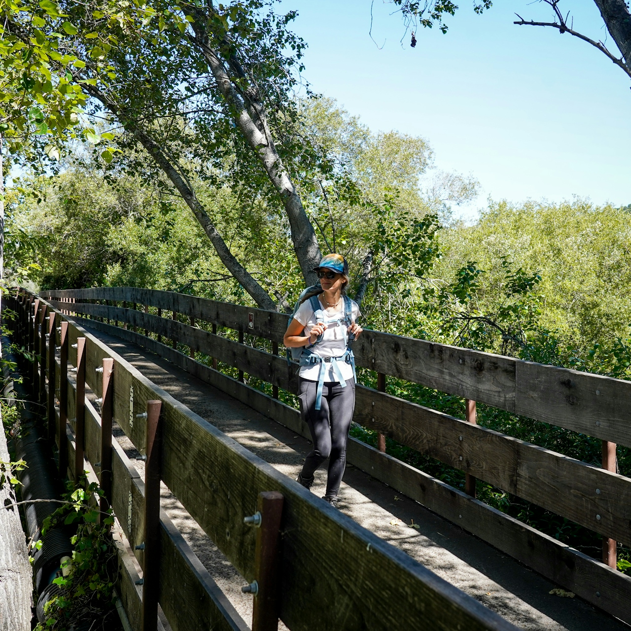
Palo Corona is the result of a major land conservation initiative that culminated in 4,500 acres of protected land and ecosystems, including wildlife like the California condor. Starting from the Discovery Center parking area, you’ll have to detour a bit (it’s marked) before following the trail across a bridge, along a fenced path, and through a gate (where no dogs are allowed, sorry!) to begin hiking among grasses and the tranquility of coast live oaks that provide refreshing shade on hot days.
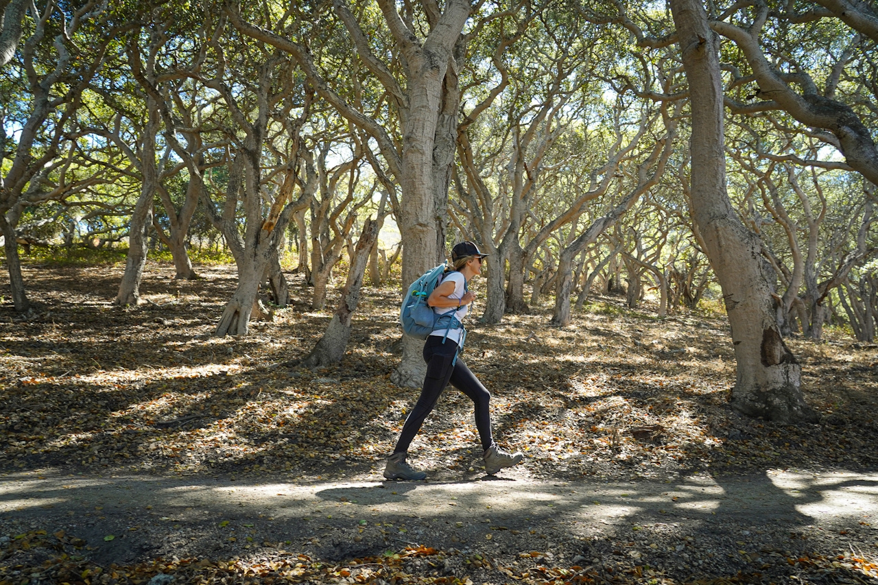
Now you climb! It’s 850 feet of elevation but early on there’s a nice break in the trees with views of the coast, so you have a good reason to stop and catch your breath. As you keep going up, Carmel Valley expands below.
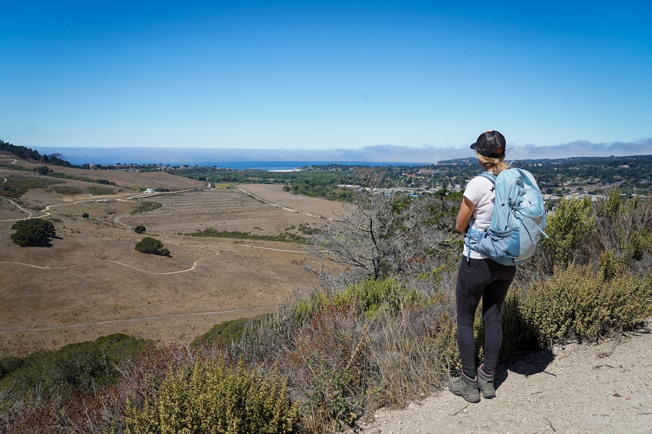
Inspiration Point is marked by a picnic bench and a lovely vantage of the coastline and Carmel. Also inspiring? It’s all downhill from here, in a good way!

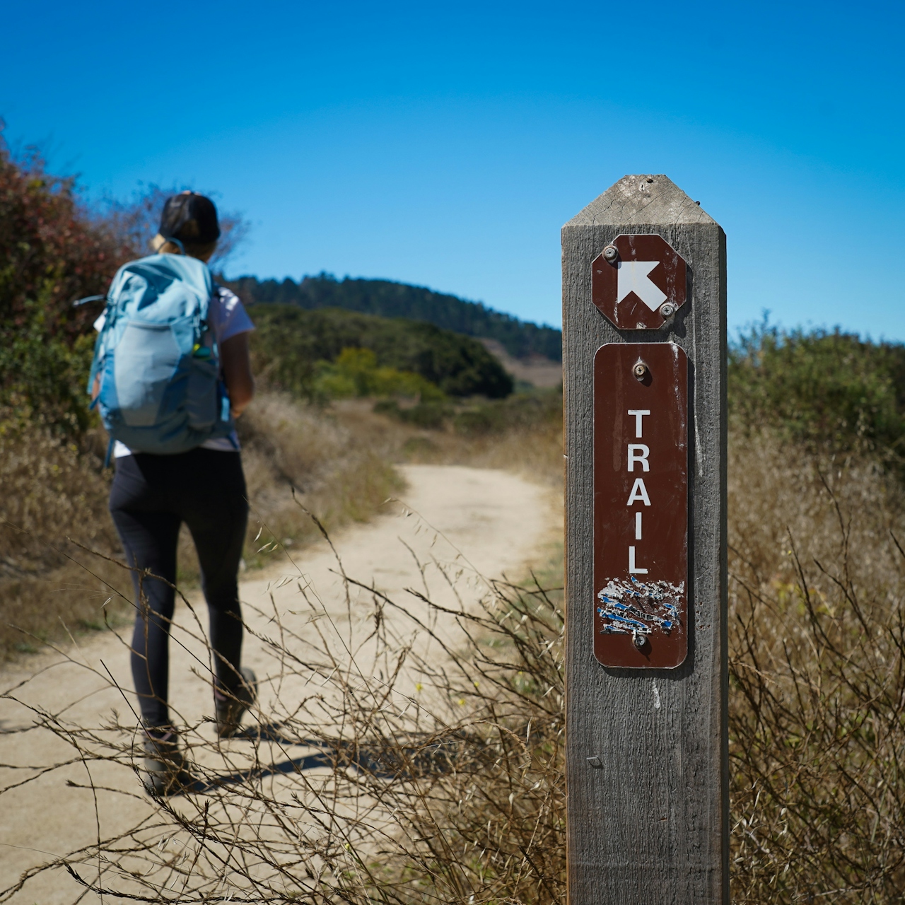
For this hike, start at the Discovery Center (park headquarters), follow the trail southwest crossing the Carmel River. Pass through a gate (no dogs are allowed after this point). There's a large map to view at the gate entrance. Follow the trails and signage up to Inspiration Point. No dogs on the trails to Inspiration Point.

Trending Stories NorCal

View all Stories
  1. Woman with her arms outstretched to the rolling hills scenery while on a rock outcrop at Barnabe Peak in Samuel P Taylor Sate Park in Marin

    Barnabe Bonanza

    Sure, there are higher mountains in Marin (Mount Tam) and easier ascents (Mount Burdell), but is there a more expansive North Bay view? Barnabe Peak in Samuel P. Taylor State Park offers a glorious panorama including Mount Tam, Mount Diablo, and Mount St. Helena.

    View
  2. Tamtastic Sunset

    Sure, the East Peak of Mount Tam is absolutely spectacular at sunset, but some magic-hour enthusiasts head to a nearby spot, Trojan Point, for a little more personal space in their panoramic viewings.

    View
  3. Hiker on the SCA trail in Marin Headlands with view of the Golden Gate Bridge

    Headlands Over Heels

    People come from all over the world to get a glimpse of the Golden Gate Bridge. Get a dramatic and novel view of the bridge without all the people on this moderate 6-mile hike in the Marin Headlands.

    View

Trending Stories SoCal

View all Stories
  1. Woman hiking the San Onofre Bluffs Loop Trail to San Onofre State Beach in San Diego County

    Bluffing Good!

    Lovely coastline, beautiful beaches, unique geological history, and picturesque sandstone cliffs with limited foot traffic in San Diego County? Head to San Onofre State Beach and the 5-mile San Onofre Bluffs Loop Trail.

    View
  2. Can We Get a Whoop Whoop!

    City, mountain, and ocean views all in one hike? Whoop whoop! It’s no surprise the the Kenter Fire Road and Whoop-de-Doos Trail (a combo of fire road and singletrack) is a favorite among local mountain bikers and hikers alike.

    View
  3. The Big Chill

    In LA, finding a place to chill can be the ultimate flex. So flex, in Franklin Canyon! This unexpected oasis has plenty of shade, cool lake breezes, and ample picnicking spots. Enjoy it on an easy-going 1-mile stroll along its reservoir and duck pond.

    View