Maple in the Redwoods
Hike to Maple Falls in Nisene State Park in Santa Cruz Mountains


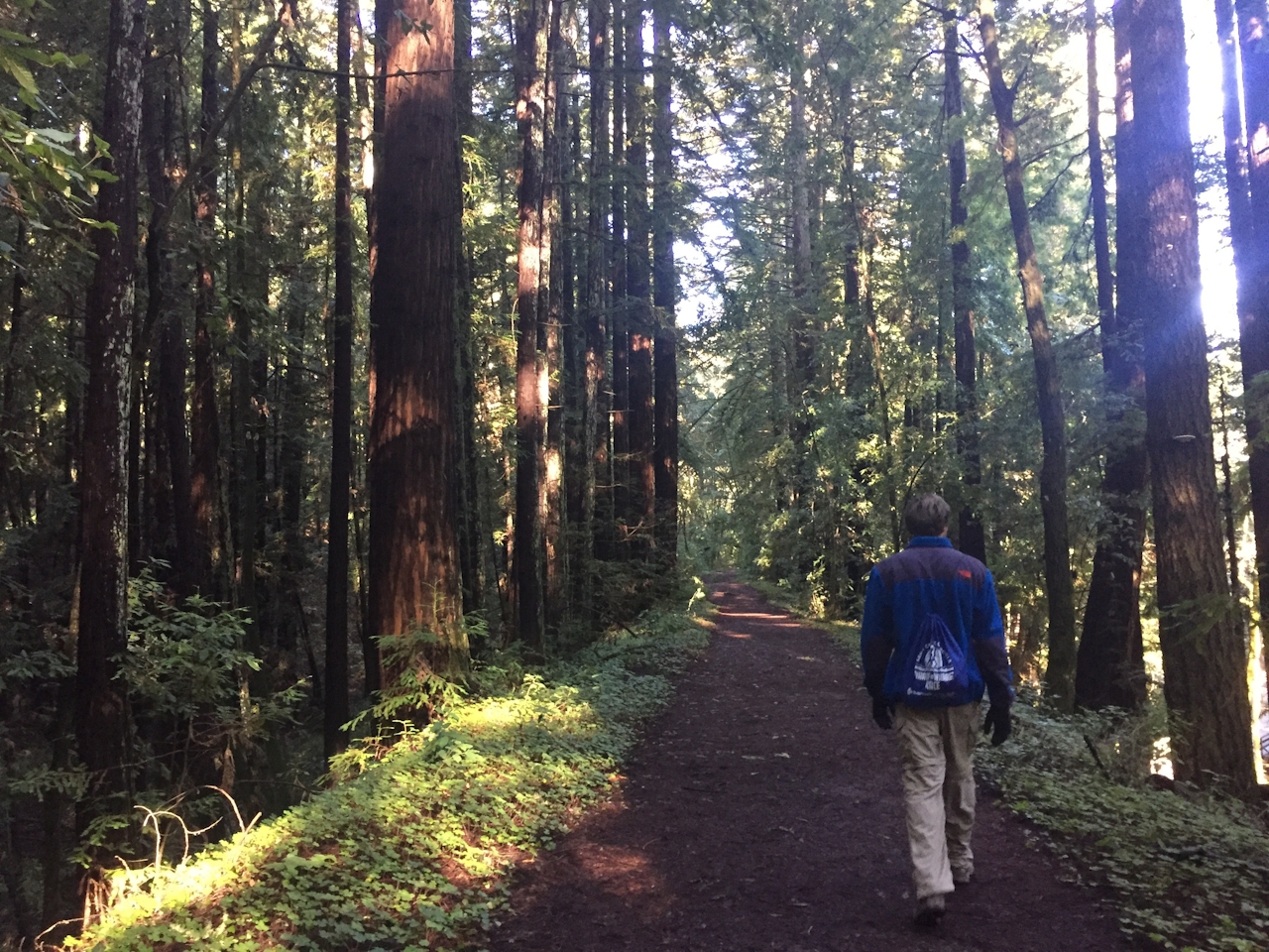
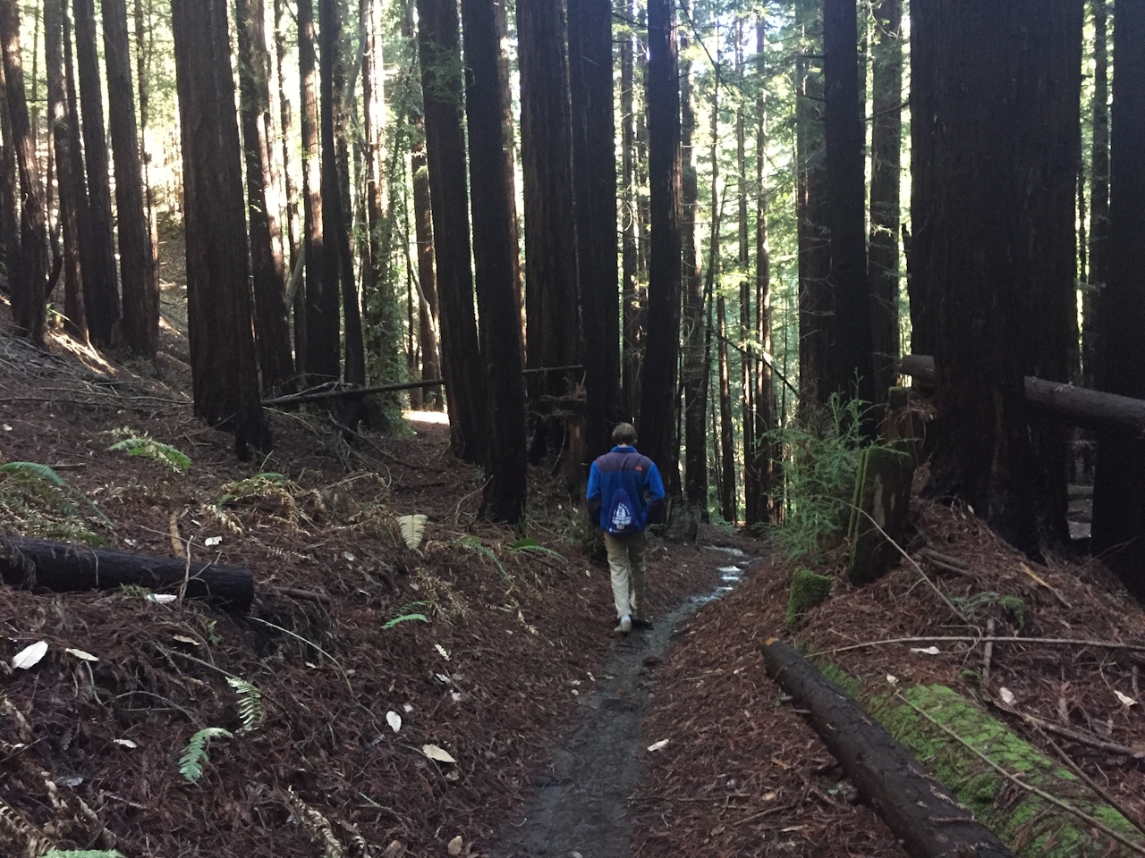
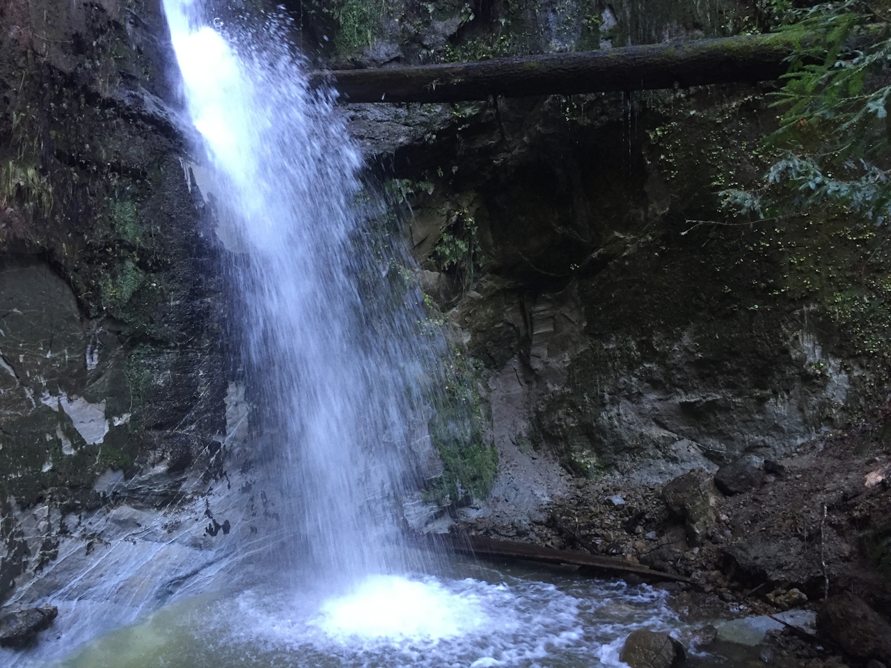
Over the creek and through the redwoods you’ll go, on this 9-mile (round-trip) partial loop hike in the Forest of Nisene Marks State Park. This hike is loaded with charms, but the big riches come from viewing Maple Falls, a 30-foot stunner framed by, well, maple trees! Start at George’s Picnic Area and follow Aptos Creek Road to Loma Prieta Grade. Here the trail narrows as you go through a canopy of towering redwoods, the acoustics of Aptos Creek lending peaceful sounds as you hike. At the fork, keep left to stay on Loma Prieta Grade towards Hoffman’s Historic Site, once home to loggers and mill workers. Follow the trail all the way to Bridge Creek Historic Site. From the sign, head upstream to get to Maple Falls.
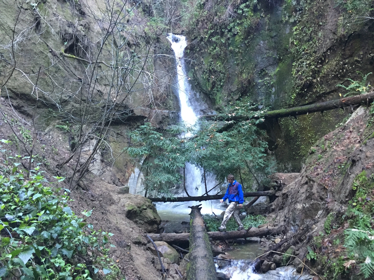
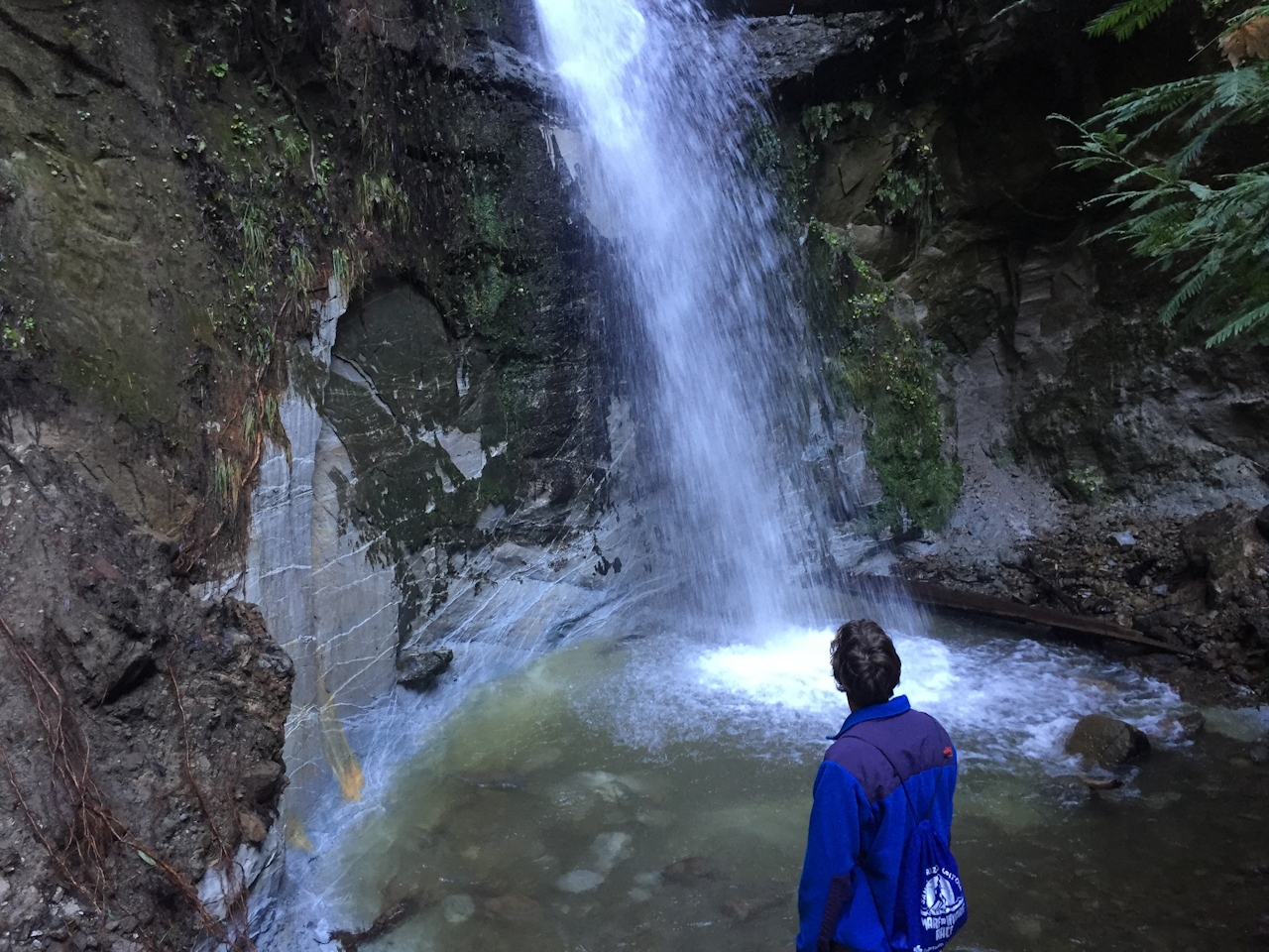
The trek isn’t far, but it’s challenging because you have to cross Bridge Creek about a dozen times as you head deeper into the canyon. (Wear shoes that you don’t mind getting wet!) You’ll pass a smaller waterfall along the way, but keep going to the back of the fern-spotted canyon for the marquee attraction: Maple Falls gushing into the creek by way of a large mossy rock face, splashing into a pool surrounded by lush greenery. This cascade in the redwoods goes strong after rain, and sounds it out loud, too! To finish the hike, head back down Bridge Creek but this time stay left at the fork and take Bridge Creek Trail to eventually loop back to Loma Prieta Grade.
From Hwy. 1 in Aptos take State Park Dr. northeast (away from the ocean). Turn right onto Soquel Dr., and left onto Aptos Creek Rd. Parking in George’s Picnic Area is $8. When the winter gate is open, parking at Porter Family Picnic Area shortens the loop by 2 miles; however, if the winter gate is closed you’ll have to park at George’s Picnic Area and hike in from there. No dogs.







