Panorama Bonanza

Hike to Panoramic Ridge above Berkeley for iconic views of the Bay Area

Bring the dog, bag a peak, and get an impressive two-bridge view on a lollipop loop hike that includes the San Francisco skyline. Claremont Canyon Regional Preserve—high in the hills above Berkeley—has 208 acres of peaks and valleys, including the 3.4-mile (round-trip) Stonewall-Panoramic Ridge Trail, starting steps away from downtown Berkeley.

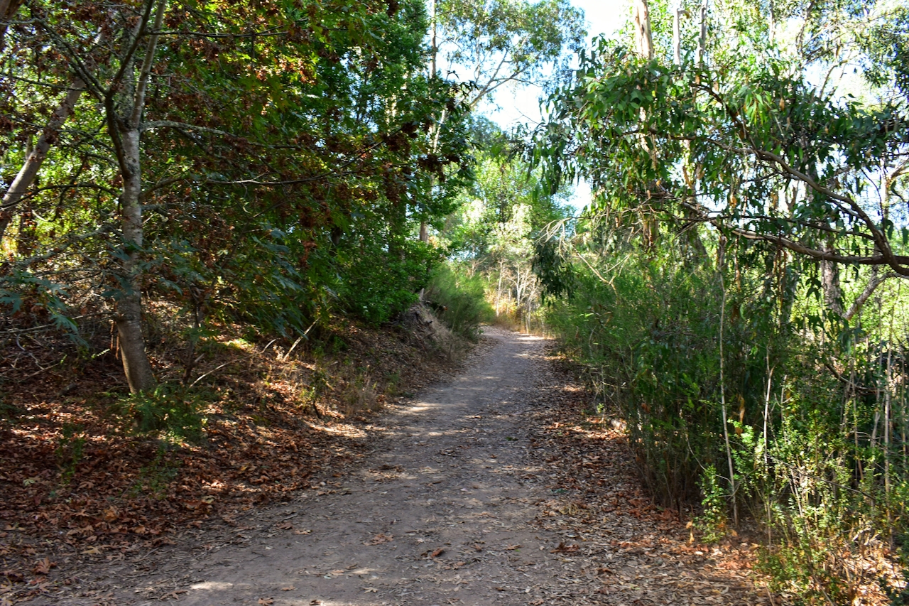
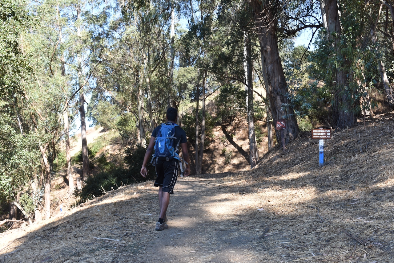
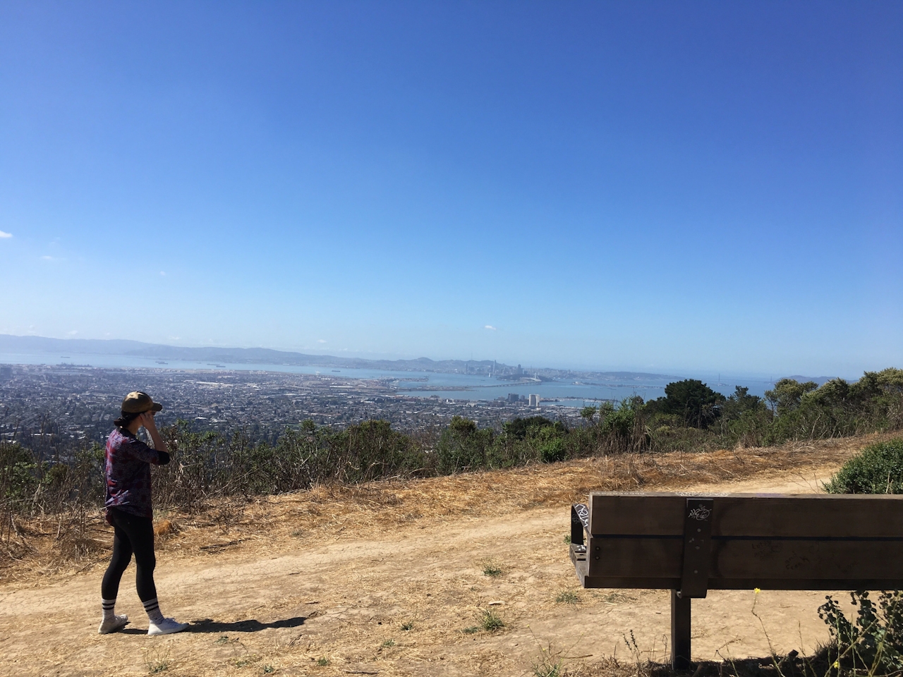
It’s a steep climb through a eucalyptus grove and open hills before you hit the paved Panoramic Way. Turn right and follow Panoramic Way for about 25o feet until it meets back with the Stonewall-Panoramic Way Trail and plateaus at the highlight. Panoramic Ridge delivers what its name suggests: huge views of Oakland, San Francisco, and Marin County. The white spires of the Bay Bridge are backed by the orange arches of the Golden Gate Bridge, which itself is backed by the rugged Marin Headlands.
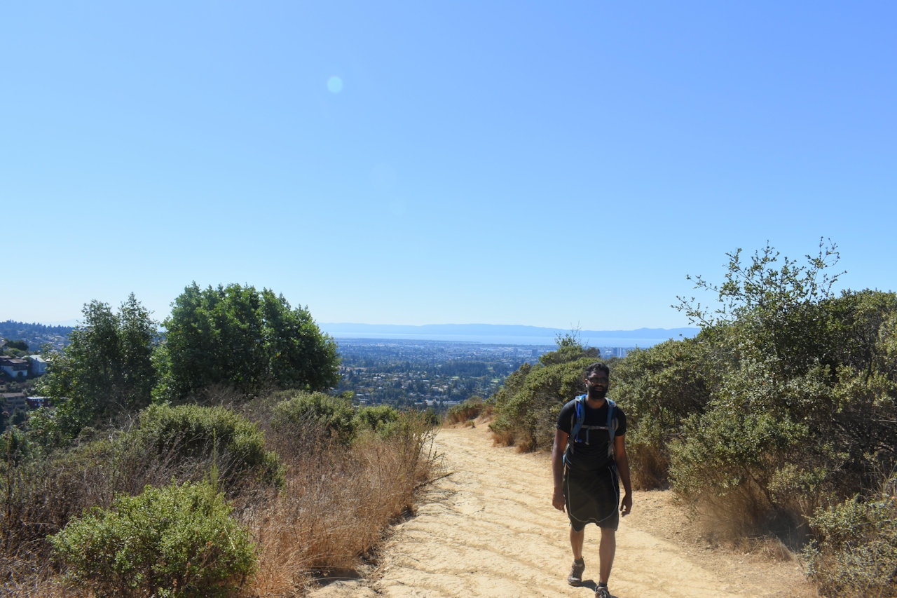
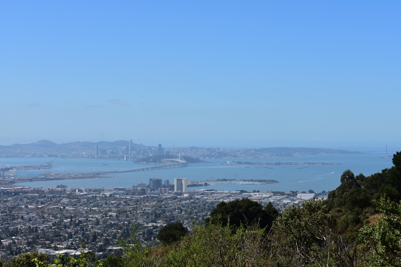
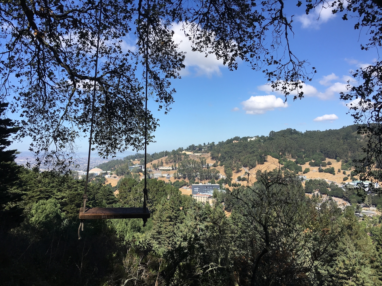
From the ridge, dip into a pine grove and find a rope swing with a wooden seat. Brave types can swing and sway over Strawberry Canyon. The trail continues to the other side of the ridge, marked by extravagant hillside homes. Follow the ridge back to Panoramic Way and return the way you came to complete the lollipop loop.

Bonus: Stop by Star Meats (3068 Claremont Ave.) in Berkeley and grab sandwiches to enjoy at the top of Panoramic Ridge

Enter the trail at Stonewall Rd. in Berkeley. Street parking only. This recommended route has the stopping point at Panoramic Ridge; you’ll know you’ve gone too far if the trail turns into a steep hill with loose ground—that trail leads to Chaparral Peak. Dog-friendly!

Trending Stories NorCal

View all Stories
  1. Woman with her arms outstretched to the rolling hills scenery while on a rock outcrop at Barnabe Peak in Samuel P Taylor Sate Park in Marin

    Barnabe Bonanza

    Sure, there are higher mountains in Marin (Mount Tam) and easier ascents (Mount Burdell), but is there a more expansive North Bay view? Barnabe Peak in Samuel P. Taylor State Park offers a glorious panorama including Mount Tam, Mount Diablo, and Mount St. Helena.

    View
  2. Tamtastic Sunset

    Sure, the East Peak of Mount Tam is absolutely spectacular at sunset, but some magic-hour enthusiasts head to a nearby spot, Trojan Point, for a little more personal space in their panoramic viewings.

    View
  3. Hiker on the SCA trail in Marin Headlands with view of the Golden Gate Bridge

    Headlands Over Heels

    People come from all over the world to get a glimpse of the Golden Gate Bridge. Get a dramatic and novel view of the bridge without all the people on this moderate 6-mile hike in the Marin Headlands.

    View

Trending Stories SoCal

View all Stories
  1. Lagoon Swoon

    We all love an underdog story, especially in the shadow of the greats. Enter a truly SoCal coastal version: Malibu Lagoon State Beach. Though situated next to Surfrider Beach, a fa

    View
  2. Woman hiking the San Onofre Bluffs Loop Trail to San Onofre State Beach in San Diego County

    Bluffing Good!

    Lovely coastline, beautiful beaches, unique geological history, and picturesque sandstone cliffs with limited foot traffic in San Diego County? Head to San Onofre State Beach and the 5-mile San Onofre Bluffs Loop Trail.

    View
  3. Can We Get a Whoop Whoop!

    City, mountain, and ocean views all in one hike? Whoop whoop! It’s no surprise the the Kenter Fire Road and Whoop-de-Doos Trail (a combo of fire road and singletrack) is a favorite among local mountain bikers and hikers alike.

    View