Temeskull

Hike to Skull Rock in Temescal Gateway Park

Hike To Skull Rock in Pacific Palisades

Climb to new heights and huge views on an adventure hike to a quirky quarry overlooking the ocean in Pacific Palisades. It’s a 4.75-mile loop hike with an 1,100-foot ascent to Skull Rock in Temescal Gateway Park.

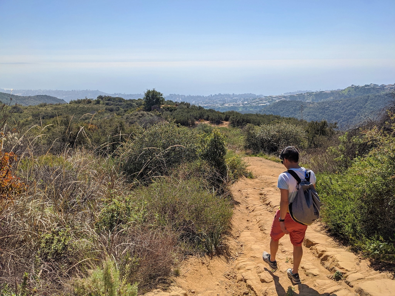
Head out on the trail, keeping left at trail junctions via switchbacks under oaks. As the shade disappears, coastal chaparral takes over, along with panoramic views looking over Santa Monica and Malibu to the west, and Temescal Canyon to the east. On clear days you can see Catalina and the Channel Islands.

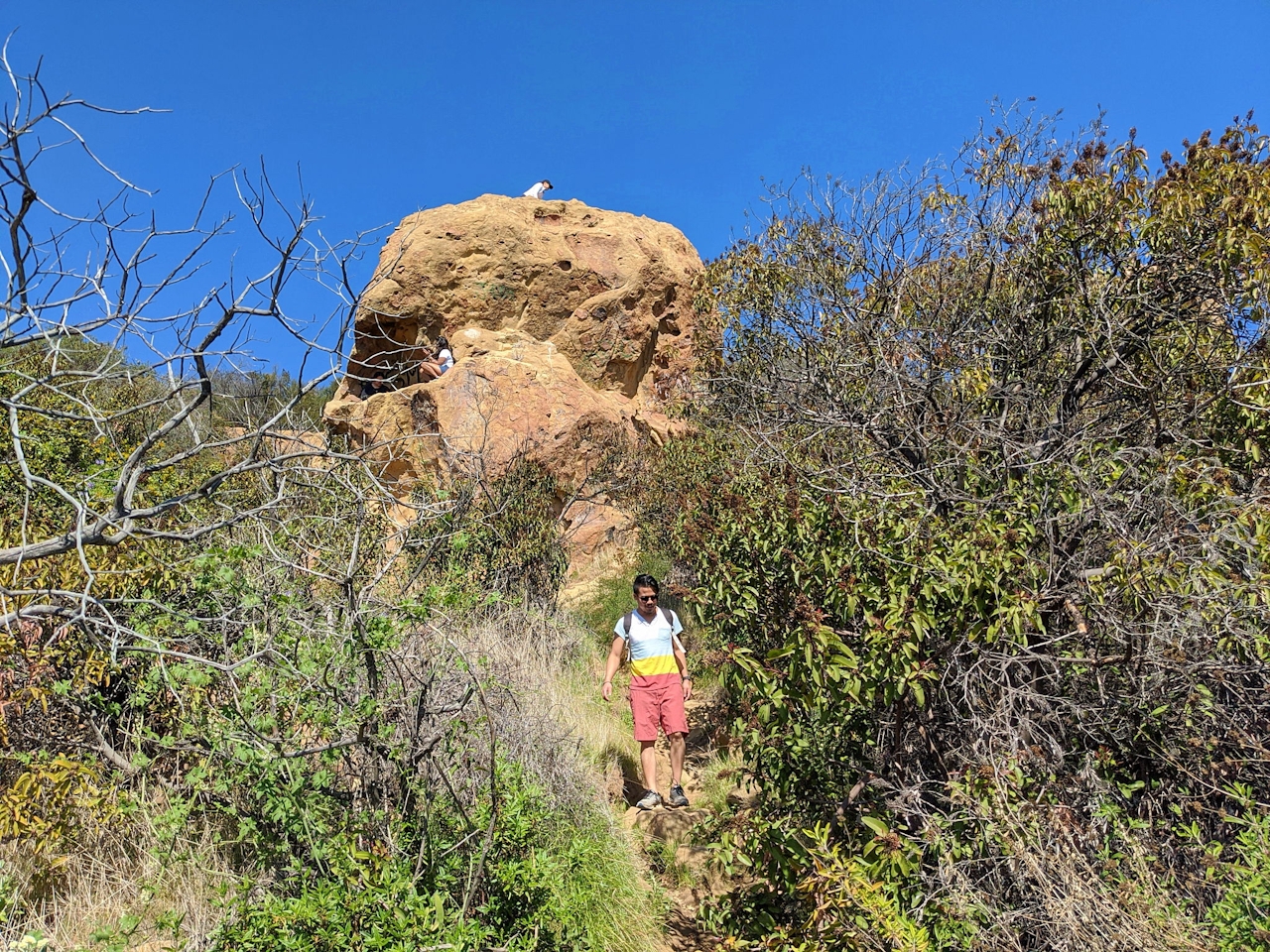
After 2.25 miles (following signs for Temescal Ridge Trail and ignoring signs for the Temescal Canyon Falls), you’re at the marquee spot: Skull Rock and its boulder buddies—many of which are very easy rock scrambles up to round-the-compass views.

Skull Rock itself has a secure rope attached on the back, so adventurous (and experienced) climbers can scale the granite face for a truly amazing picnic spot. Heading back the way you came, follow signs for the falls and descend into the canyon, where shade can be a welcome respite on hot days. (The downhill here can be knee-buckling, so be sure to wear good treads.)

Hike to Skull Rock in Temescal Gateway Park Pacific Palisades

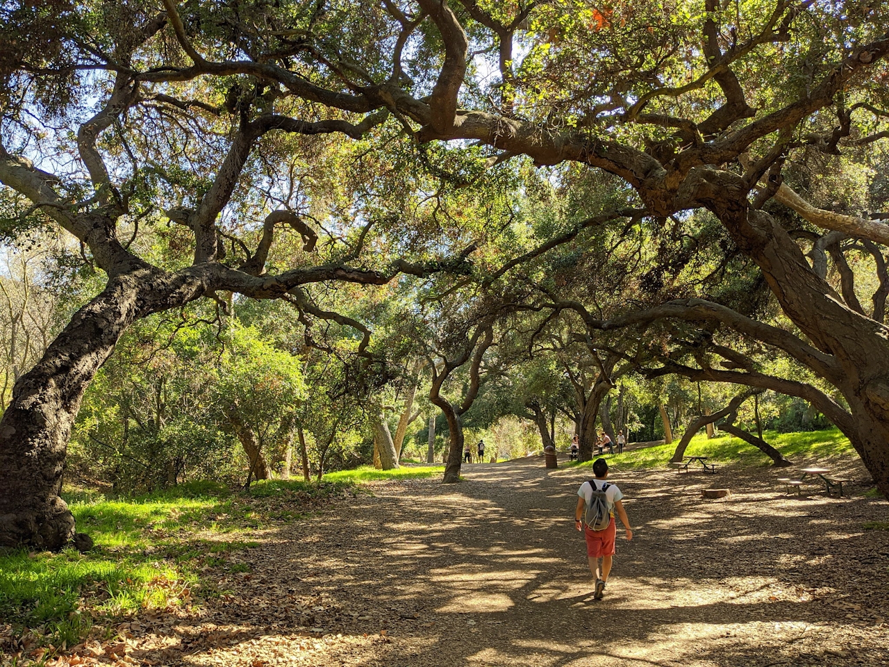
Reaching a small bridge, there’s sometimes a trickle of falls, but in dry seasons it’s not much to be excited about. The trail flattens and continues south, passing a grove of massive coast live oaks. Arriving at Temescal campsite and retreat center, take the paved road to the right, which reconnects to the original trail, and close the loop. Rock steady!

To get to the Temescal Gateway Park lot and trailhead, take Pacific Coast Hwy. to Temescal Canyon Rd. After just over 1 mile, you reach the intersection with Sunset Blvd. The parking lot is just north of Sunset on your left. Park at the lot ($10 day pass), or find street parking and access the trailhead via the southwestern corner of the lot behind a pristine patch of grass. Dog-friendly!

Trending Stories NorCal

View all Stories
  1. Woman with her arms outstretched to the rolling hills scenery while on a rock outcrop at Barnabe Peak in Samuel P Taylor Sate Park in Marin

    Barnabe Bonanza

    Sure, there are higher mountains in Marin (Mount Tam) and easier ascents (Mount Burdell), but is there a more expansive North Bay view? Barnabe Peak in Samuel P. Taylor State Park offers a glorious panorama including Mount Tam, Mount Diablo, and Mount St. Helena.

    View
  2. Tamtastic Sunset

    Sure, the East Peak of Mount Tam is absolutely spectacular at sunset, but some magic-hour enthusiasts head to a nearby spot, Trojan Point, for a little more personal space in their panoramic viewings.

    View
  3. Hiker on the SCA trail in Marin Headlands with view of the Golden Gate Bridge

    Headlands Over Heels

    People come from all over the world to get a glimpse of the Golden Gate Bridge. Get a dramatic and novel view of the bridge without all the people on this moderate 6-mile hike in the Marin Headlands.

    View

Trending Stories SoCal

View all Stories
  1. Woman hiking the San Onofre Bluffs Loop Trail to San Onofre State Beach in San Diego County

    Bluffing Good!

    Lovely coastline, beautiful beaches, unique geological history, and picturesque sandstone cliffs with limited foot traffic in San Diego County? Head to San Onofre State Beach and the 5-mile San Onofre Bluffs Loop Trail.

    View
  2. Can We Get a Whoop Whoop!

    City, mountain, and ocean views all in one hike? Whoop whoop! It’s no surprise the the Kenter Fire Road and Whoop-de-Doos Trail (a combo of fire road and singletrack) is a favorite among local mountain bikers and hikers alike.

    View
  3. The Big Chill

    In LA, finding a place to chill can be the ultimate flex. So flex, in Franklin Canyon! This unexpected oasis has plenty of shade, cool lake breezes, and ample picnicking spots. Enjoy it on an easy-going 1-mile stroll along its reservoir and duck pond.

    View