Seat at the Top Table
Hike to Table Rock in Napa


It just might be the best view in Napa. And it doesn’t require a hot air balloon. At 4.5 miles (round-trip) the hike to Table Rock overlook isn’t a walk in the park (well, technically it is, but it's not an easy one!). Still it’s well worth it, packing in plenty of highlights, especially the marquee destination. Get ready for valley views worth swooning over.
Winter and early spring are the best times for this hike, when temperatures are cooler and the sunlight hits the panoramic views just right. Go early in the day and make sure you bring plenty of water and sunscreen. (This is not a hike to do on hotter days.)
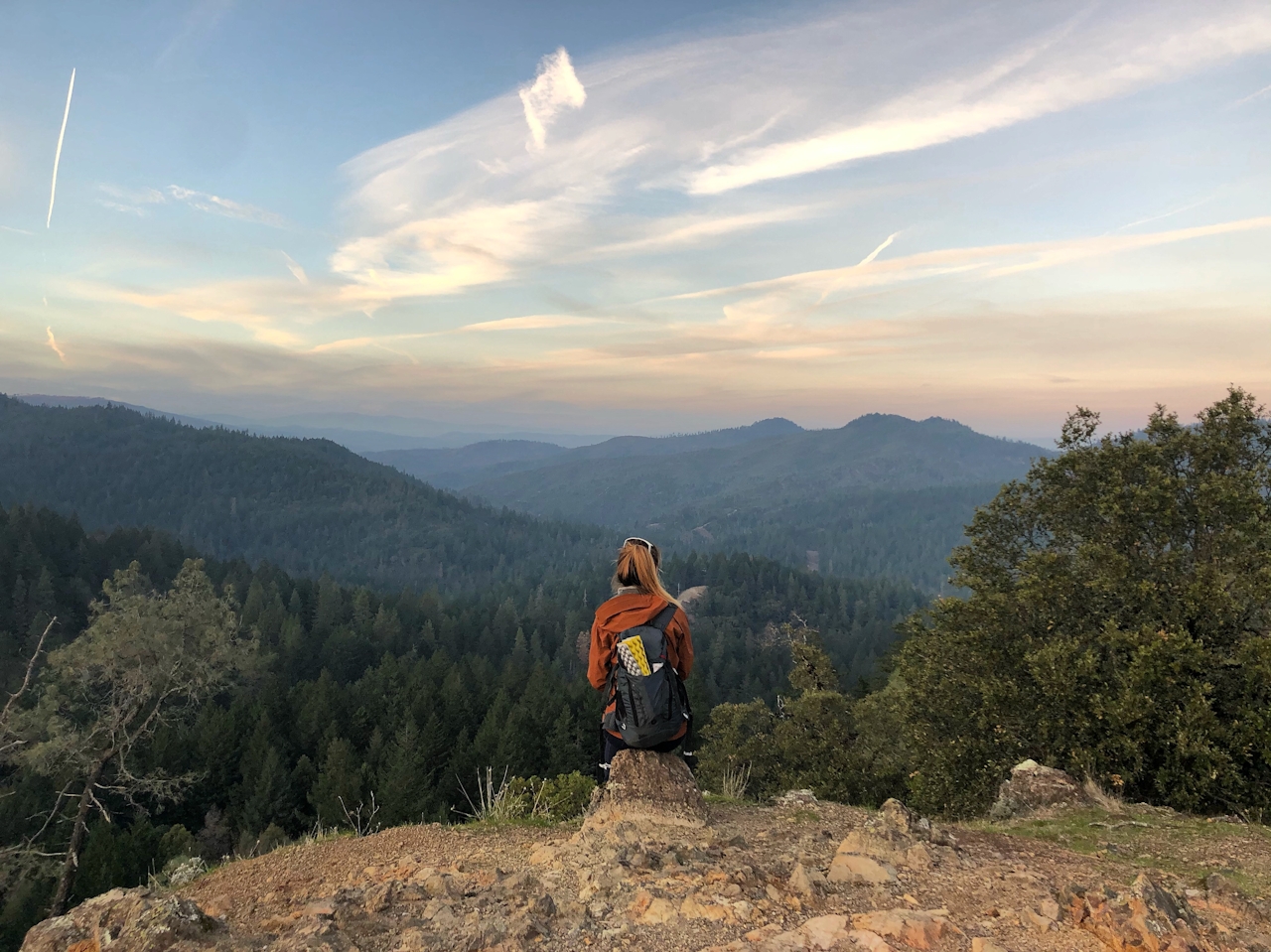
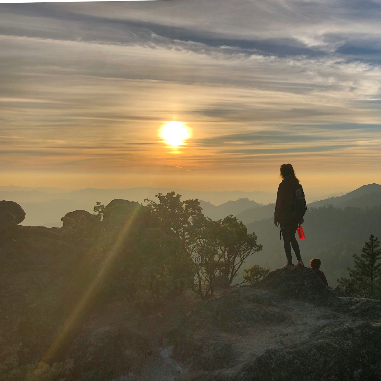
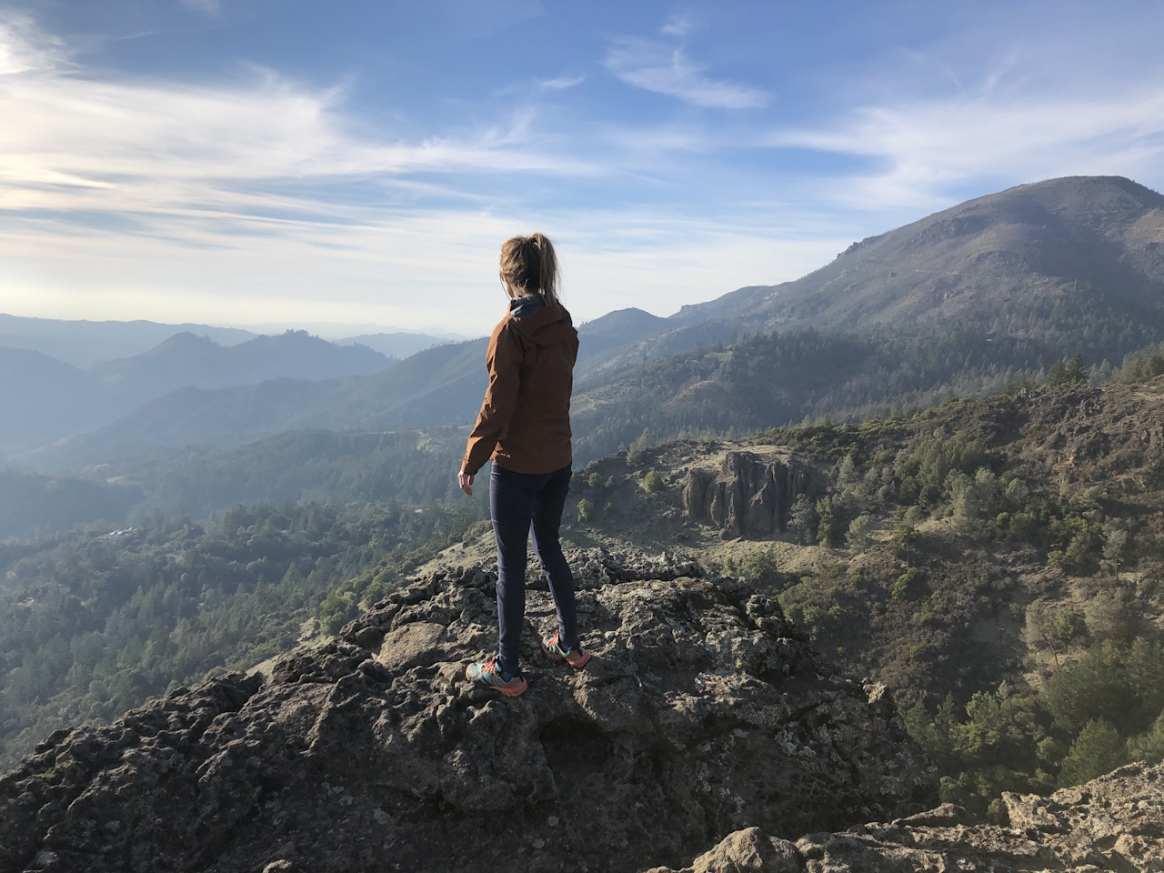
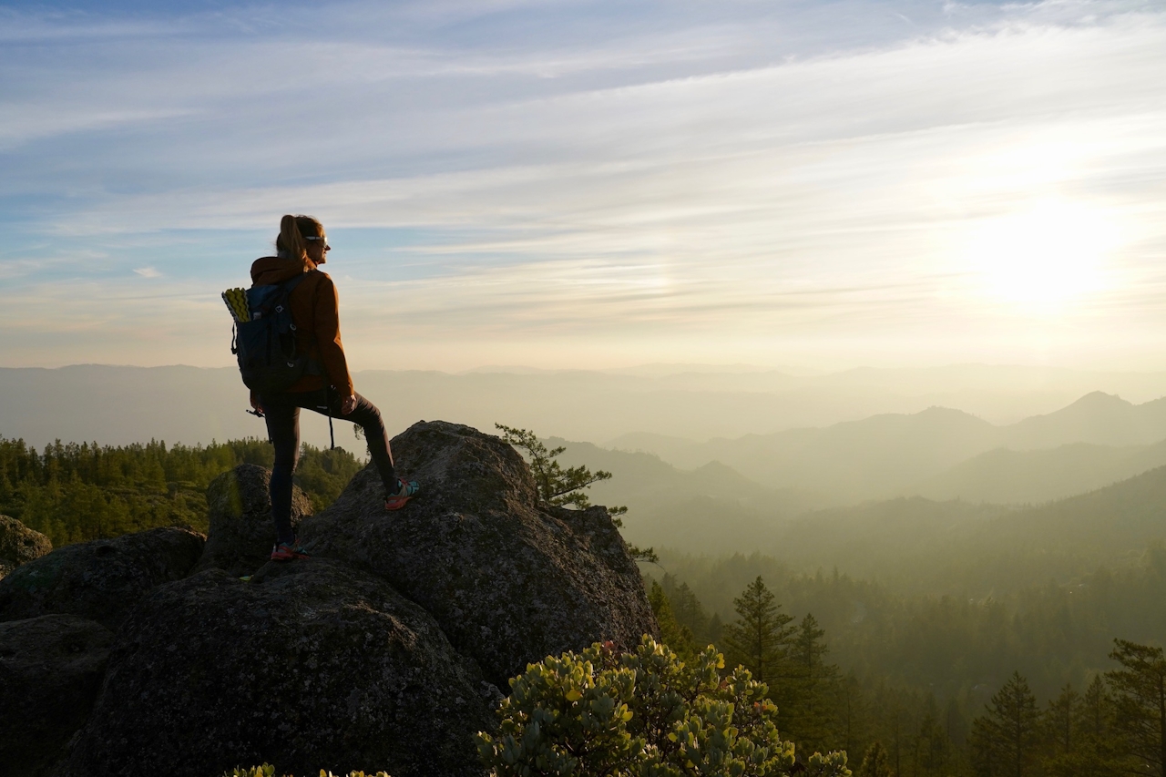
Start at Table Rock Trail in northern Napa’s Robert Louis Stevenson State Park and get ready for all kinds of highlights. The trail rises moderately for a mile, shaded by forest, before breaking out to a first overlook with pop-up-book vistas of hills and the vineyard-latticed valley, all the way to the impressive Mayacamas Mountains.
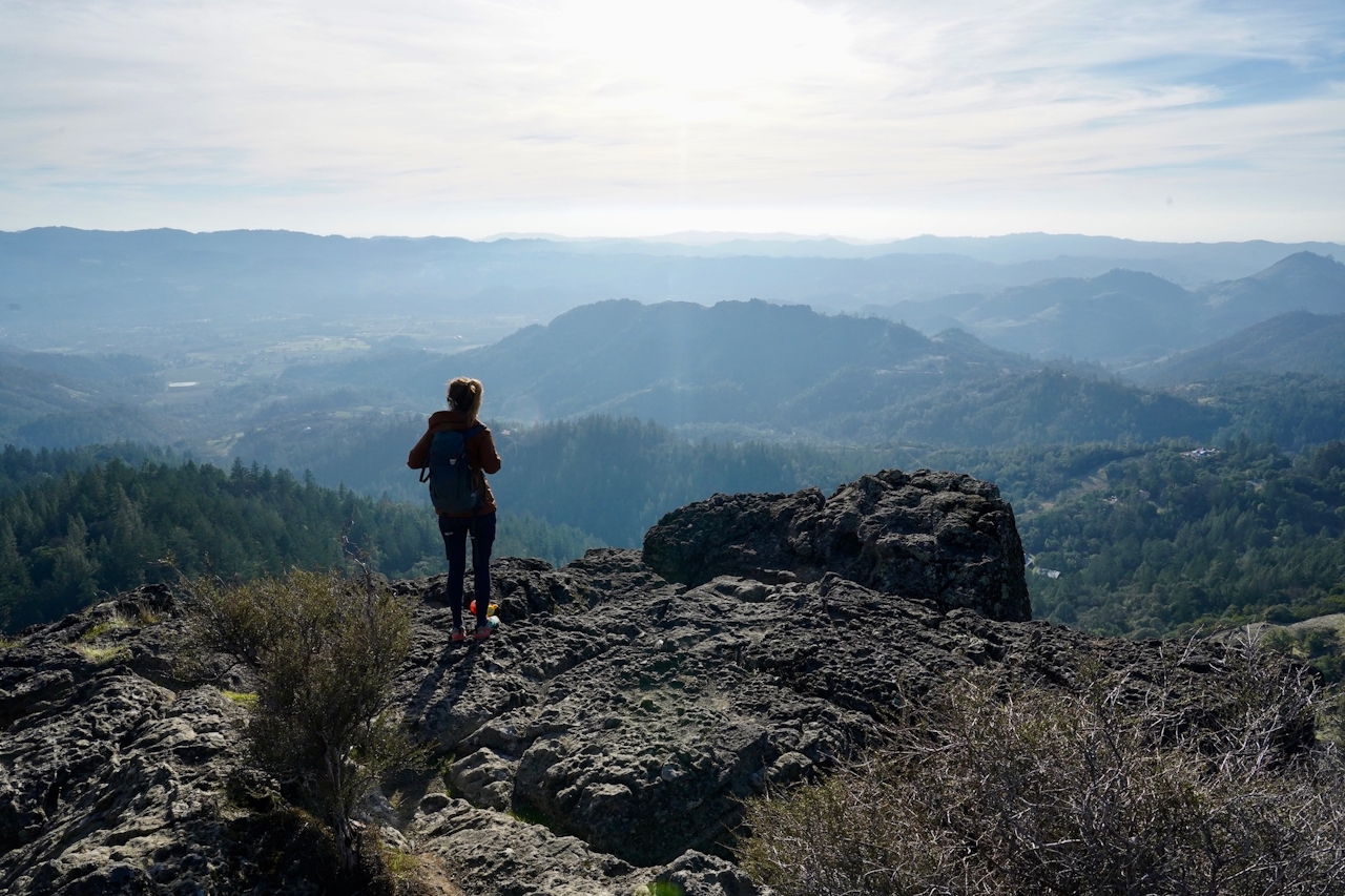
Savor the views and scramble over and around the overlook’s huge boulders to take in more good scenery. Keep going on the trail, which can be a bit rutted and rocky at times (wear shoes with good traction).
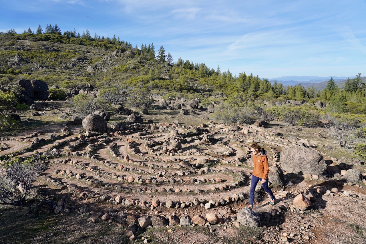
You’ll come across a section with several rock labyrinths to keep you going in circles for as long as you’d like.
When you’re ready, keep on to a section that is a bit of a descent before a level-off and then ascending towards Table Rock. The last stretch is a bit of a huff-and-puff climb: You’ll wander up and across massive boulder slabs that make you feel as if you could be on Mars (if Mars had rolling vineyards within view below).
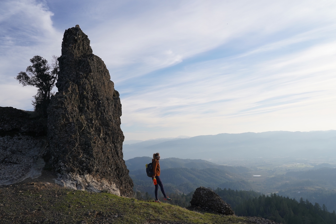
Find yourself an outcropping to enjoy this wine country vista. There’s a lot of room up here, so if you’ve brought some picnic provisions, break them out and find a slab of Table Rock that’s a feast for the eyes.
BONUS EAT: Post-hike, try to nab a firepit spot at Sam’s Social Club in Calistoga. The lounge inside this modern-farm-style hotspot is also great. Enjoy rotating creative California cuisine and tasty cocktails! (Make a reservation if you really want a guaranteed spot.)
To reach the Table Rock Trailhead: From Calistoga, travel north on Hwy. 29 for 7 miles. The turnout for parking is on the right side of the road, 0.25 mile after the Robert Louis Stevenson State Park sign. It can get extremely hot in the summer; it’s best to hike in winter or very early spring on cooler days. NOTE: The trail is well-trodden and there are some signs, but trail markings are sparse in spots.







