Dam Cool!
Hike to the Historic Brown Mountain Dam in the Angeles National Forest


{JANUARY 2023 NOTE: Stay safe. Wait until storms have passed before hiking any trails, and before heading out be sure to check official websites for updates on trail status, closures, hazards, etc. Expect wet, muddy, and slippery trails, and exercise caution and good judgement, including with water crossings. Do not cross swift flowing waters. Proper hiking shoes and an extra pair of socks to change into recommended. We recommend waiting a week or two post-rains to let conditions calm down, and keeping up to date on trail conditions.}
Head to an accessible southwest section of the Angeles National Forest, where you’ll find a challenging shortcut to the historic Brown Mountain Dam. In just 2.25 miles (round-trip), you’ll descend and ascend over 600 feet, all while enjoying endless epic canyon views. Few hikers, one refreshing reward. That’s dam good!
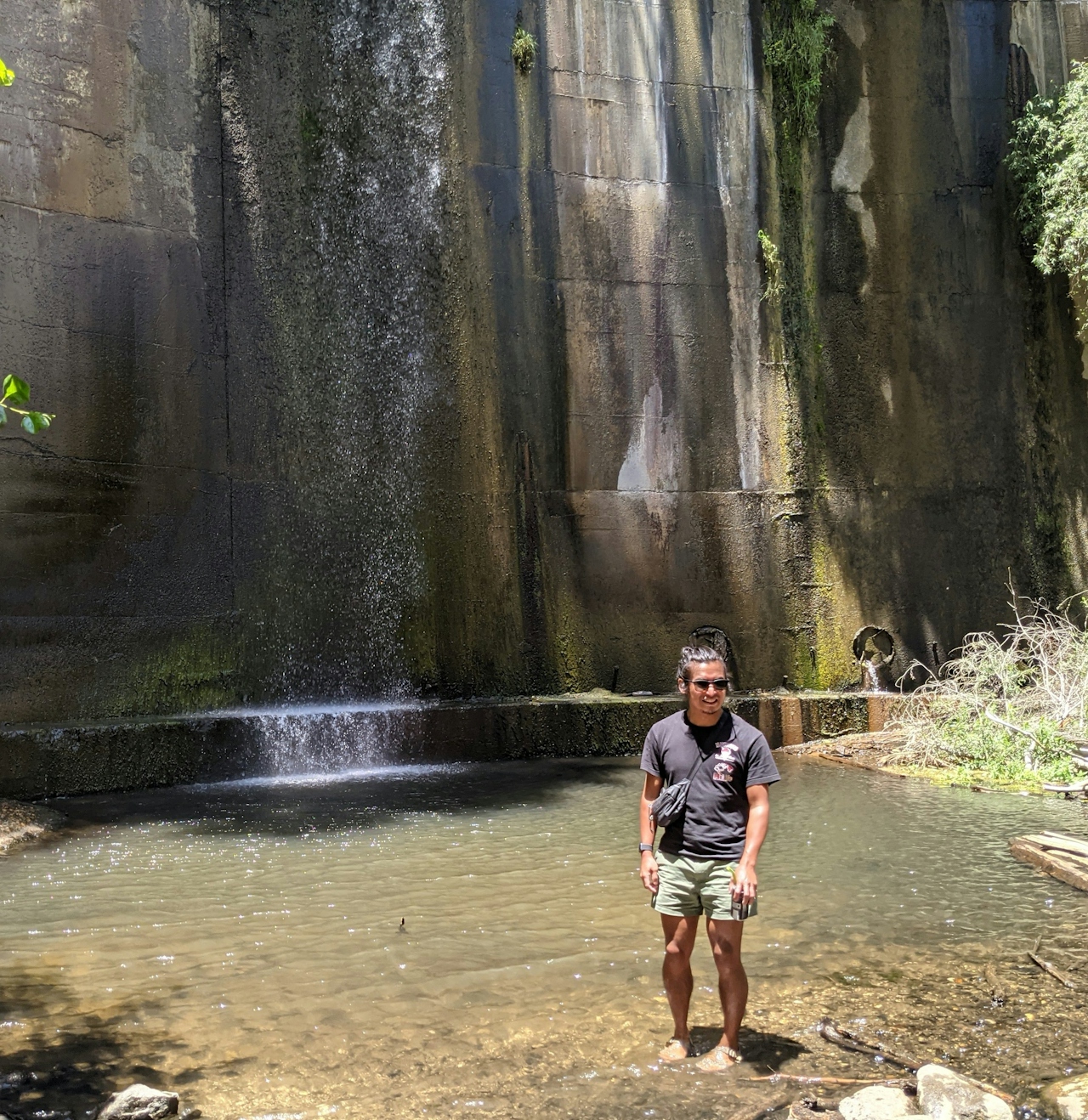
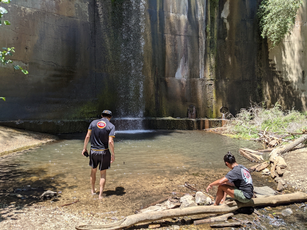
Find the small parking lot off the CA-2 across from the Angeles Crest Fire Station at Mount Lukens Truck Trail. There likely won’t be many cars here as most hikers head deeper into the San Gabriels. Look for the trailhead at the north end of the lot—a narrow singletrack that gently climbs the ridge before a surprisingly steep and technical drop into the canyon. Good treads are needed. The views don’t disappoint and provide a much different beginning than the far more popular (and less strenuous) 8-mile Brown Mountain Dam trek from Hahamonga Watershed Park. This hike is not for the faint of knees. It’s a busting workout as the dirt path switchbacks over 600 feet toward the canyon floor, but the constant views provide encouragement.
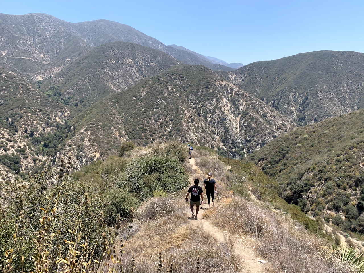
In fact, Brown Mountain Dam comes into view to your left at about the halfway point of the descent—just follow the riparian tree line west to find the falls. You’ll also see some ruins along the way, surrounded by a variety of chaparral favorites, like sage, chamise, and laurel sumac. Near the canyon floor, you are rewarded with a towering oak and your first real shade of the journey. Be careful of poison oak (stay on the trail) and observe the striking orange upside-down blooms of tiger lilies.
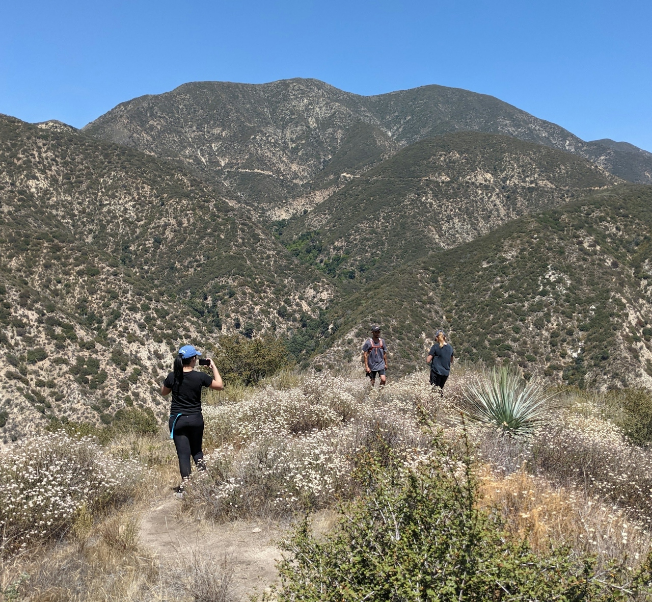
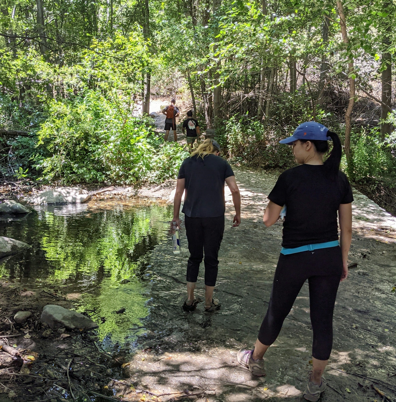
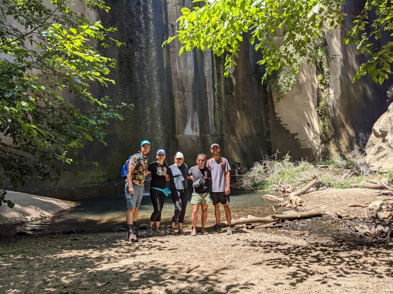
As you connect with the main Brown Mountain Dam trail, turn left and follow the wide, flat dirt path as it reaches the peaceful Arroyo Seco Creek. Cross the serene stream and pass by the Paul Little Picnic Area to eventually reach the dam. Built in 1943, the Brown Mountain Dam was the first project in the US Forest Service Los Angeles River Watershed program. Now, it’s the perfect spot to cool down in the pool formed below the dramatic 81-foot falls. If you’re staying dry, there are plenty of boulders to claim, where you can marvel at the construction before the inevitable tough climb back to your car.
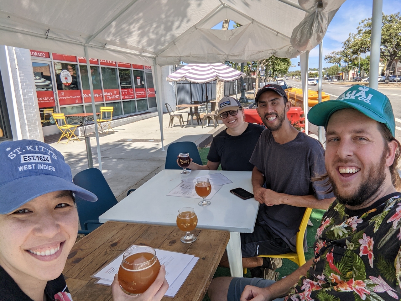
BONUS BEER: Another liquid refreshment? Relentless Spirits in nearby Eagle Rock is known for sours. We love the POG Sour and milkshake IPAs.
To get to the Brown Mountain Dam shortcut trailhead, from the I-210, take the CA-2 for just 3.3 miles. The small parking lot will be on your right, just across from the Angeles Crest Fire Station at the Mount Lukens Truck Trail. Dog-friendly!
Story and photos by Matt Pawlik.







