Trail to the Falls

Hike to Trail Canyon Waterfalls in Los Angeles County

Named not for the path leading to it, but for the trail of gold dust that once dominated this area, Trail Canyon Falls just outside of Burbank (Sunland, specifically) is now rich with a liquid asset: a gorgeous 30-foot waterfall. Reach it on a 5.2-mile (round-trip) hike.

After parking on the dirt road leading up to the trailhead, follow signs (left first, right second) at the two intersections to stay on track. Throughout the hike, yucca, wild flowers, and aromatic herbs cover the ground while trickling falls and green, spongy moss line several damp cliffs above. While the first leg of the hike is moderate, the stream flowing alongside the trail requires crossing—a total of eight times during the ascent.

Rocks and logs serve as fairly predictable stepping-stones, but hikers should be prepared to get wet (hiking poles and an extra pair of socks are useful). After the final stream crossing, the trail heads sharply uphill, and at 1.3 miles Trail Canyon Falls comes into view. The vista behind is beautiful as well, with a clear view of the valley below, and Mount Lukens to the south. Follow the trail up to the main overlook directly above the incredible 30-foot gusher.

Tip: Just before reaching the overlook, there’s a small path that leads to the foot of the falls. A bit of scrambling down boulders is required for those who want to stand on a small sandbar in the middle of the pool that allows hikers to get within several feet of the falls (take caution, especially after recent rains).

NOTE: While this waterfall is especially great after lots of rains, we suggest waiting for rain to stop before going, since the water crossings are likely to be much wetter and more slick. Use good judgment. To get to the Trail Canyon Falls trailhead, from the I-210 take Sunland Blvd. east, which soon turns into Foothill Blvd. After a mile, turn left onto Oro Vista Ave., which merges right into Big Tujunga Canyon Rd. after another mile. Follow this for 4.5 miles before turning left onto Trail Canyon Rd. (Forest Rte 3N29) and look for signs for the trailhead. A National Forest Service Adventure Pass ($5 per day or $30 for the year) is required for parking. Dog-friendly!

Trending Stories NorCal

View all Stories
  1. Bear Hug

    This 5.5-mile loop through Coyote Lake-Harvey Bear Ranch County Park explores one of the newest segments of the acclaimed Bay Area Ridge Trail, one redolent with trees ranging from madrone and manzanita to buckeye and blue elderberry (with a bubbly post-hike bonus).

    View
  2. Field of Light at Sensorio in Paso Robles

    Light This Way

    Hidden in the bucolic hills of Paso Robles lies one of the greatest light shows on earth. The lighted art exhibition, Sensorio, is as if the rainbow magic of the aurora borealis was plucked from the sky and planted in the fields.

    View
  3. Bikers and walkers on the Bay Area Ridge Trail with the Golden Gate Bridge behind them

    National Park City Walk

    See San Francisco the way locals do by hiking the Presidio, a national park right in the city! Wooded trails, secluded beaches, and epic views of the Golden Gate Bridge feature on this 5.5-mile out-and-back on the Bay Area Ridge Trail. It’s a lovely slice of the City by the Bay.

    View
  4. Bucks Up!

    Come on in, the water is beautiful. Whether you like swimming, kayaking, stand-up paddling, or heading out on a bigger boat, Bucks Lake is a high mountain haven that’s easy to access, blissfully uncrowded, and surrounded by sandy beaches, picnic areas, pines, and aspens.

    View

Trending Stories SoCal

View all Stories
  1. Sponsored

    Tram to Cool Treks

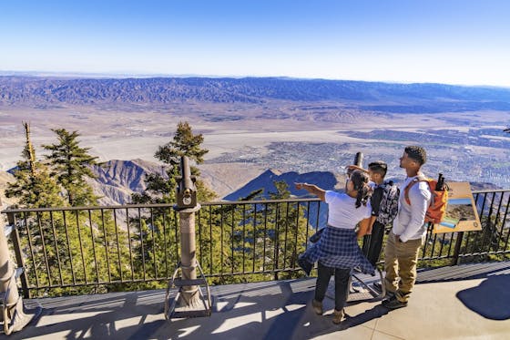
    Elevate your fun, getting whisked from palm trees to alpine wilderness on the world’s largest rotating tramcar. The Palm Springs Aerial Tramway transports you up and away on a 2.5-mile scenic route from the desert floor to the refreshing wilderness of Mount San Jacinto State Park.

    View
  2. Coming Up Roses

    Looking to spice up your hiking life? Give your partner a rose—Mount Rose! The 10-mile out-and-back peak hike goes up to one of the grandest views in all of Lake Tahoe. Get ready f

    View
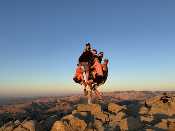
  3. A group of people clamored around the summit marker at Mission Peak in the Bay Area

    Your Mission Is Less Crowded

    Mission Peak is one of the Bay Area’s most popular mountains, with many hikers climbing every weekend. Skip the crowds with this 6-mile loop up the less-traveled southern route.

    View
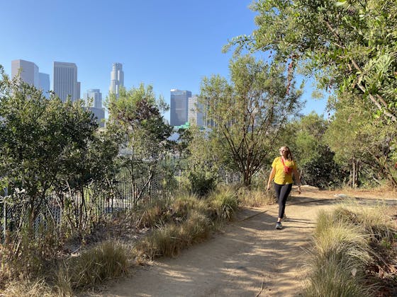
  4. Vista Hermosa Park in Echo Park Los Angeles

    Vista Hermosa, Echo That!

    Tucked in Echo Park, the little-known gem of Vista Hermosa Natural Park feels worlds away thanks to its serene beauty and thoughtful design. At 11.5 acres there’s still plenty to explore. And it's got a premier view of the iconic Los Angeles skyline.

    View