Diamonds of Diablo

Hike to waterfalls at Mount Diablo State Park

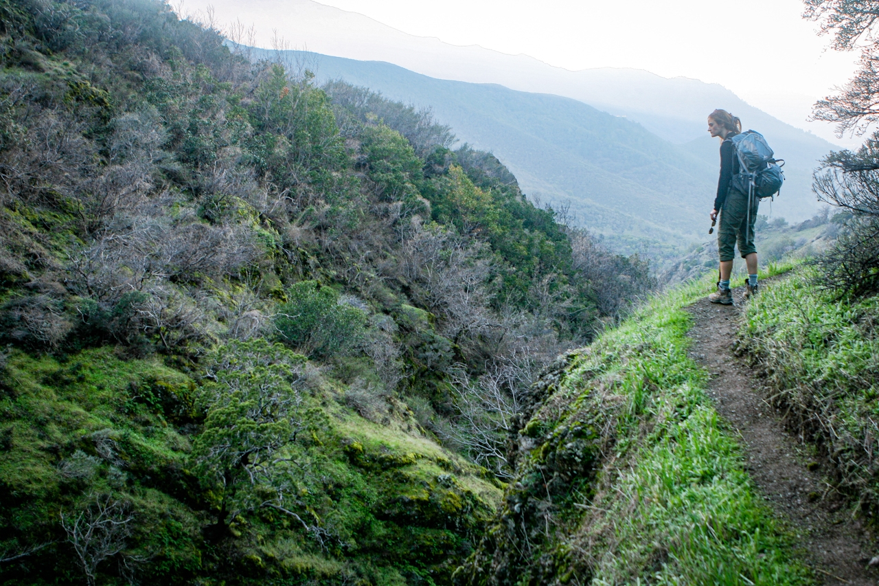
With its looming peak and devilish name, it’s hard to imagine Mount Diablo having a softer side. But winter’s rains bring an unexpected boon: four watery cascades spill off the mountain’s northern flank. And getting to them is half the fun. Start the 5-mile (round-trip) hike with a gentle climb up Donner Canyon Road, passing an old cabin site and large oak trees.
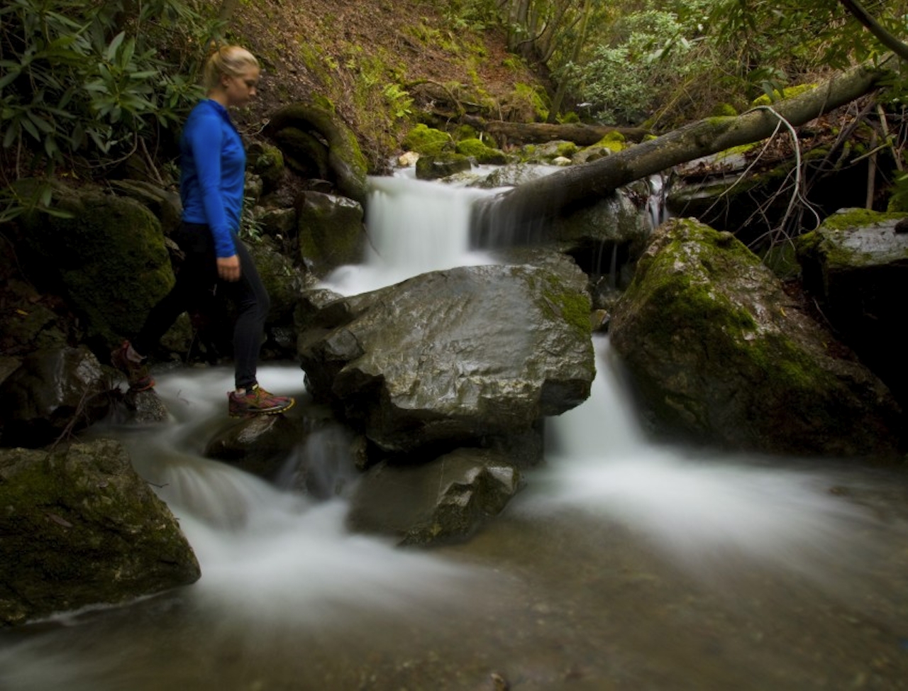
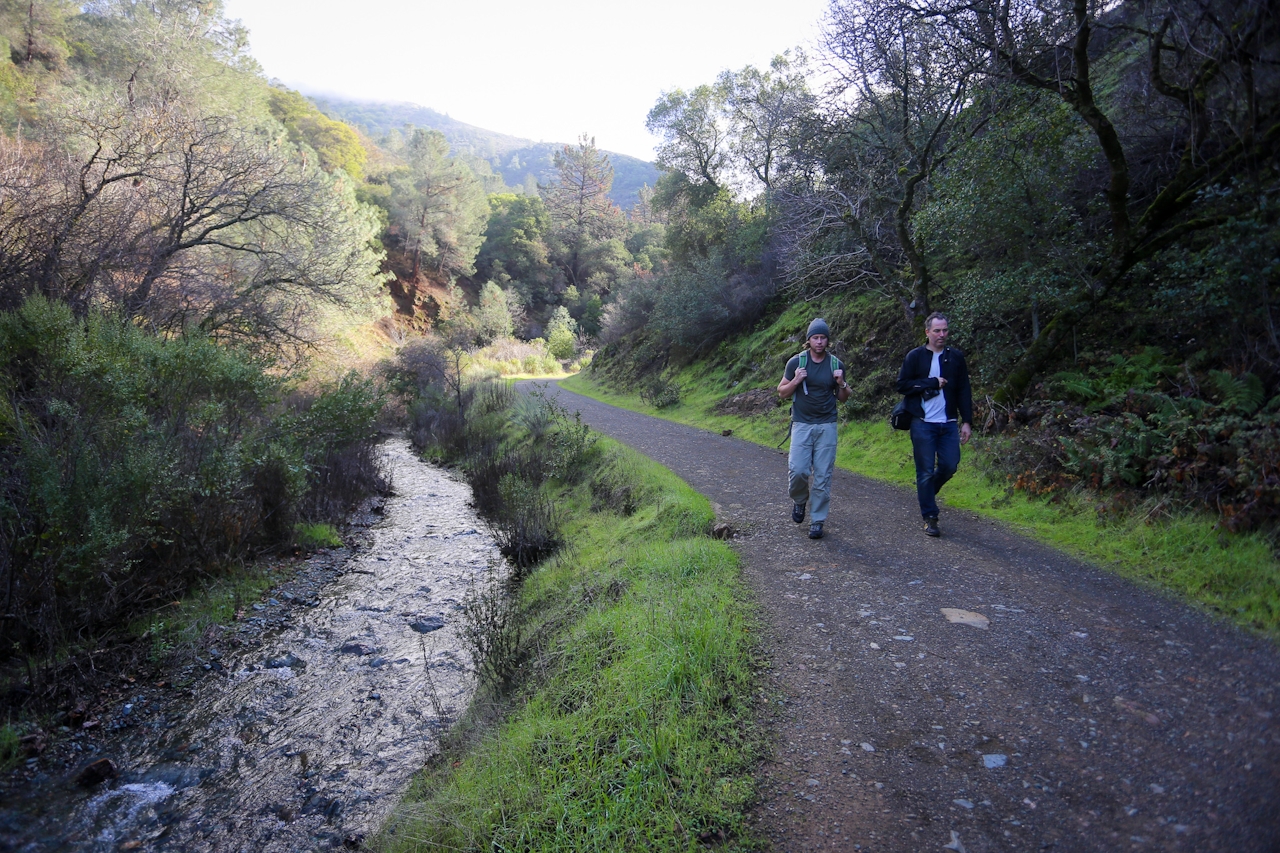
Follow the rushing creek before ascending an open slope that offers uninterrupted views of the Irish-green canyons and hills leading to Mount Diablo’s summit. Then take Middle Earth Trail, a narrow path that ducks through manzanitas, until it links up with the Falls Trail, which skirts the side of the mountain. Parts of this path seem better suited to goats, so take your time and watch your step, especially with recent rains. The upward climb rewards with increasingly better perspectives on the falls. Take a break on a grassy knoll and enjoy huge views of the northern valley.

TIP: These falls usually dry up by late spring and are best after a steady rainfall, but be mindful that the trails are likely to be muddy and slippery right now; proper footwear is essential and so is a change of socks!

{DECEMBER 2023 NOTE: Due to recent storm activity, check the trail status and conditions before going.} Park at the trailhead at the end of Regency Dr. in Clayton (map). Hike the Donner Canyon Fire Road south. After about 1 mile, you’ll come to the Meridian Ridge and Cardinet Oaks Fire Road junction; turn right onto Meridian Ridge. After a few hundred feet, turn left onto the Middle Trail, which climbs up and connects to the Falls Trail. Continue on the Falls Trail, which ends at Cardinet Oaks. Turn left and take this back to the Donner Canyon Fire Road. Donner Canyon Road can be muddy after rains; wear appropriate shoes. No dogs.

Trending Stories NorCal

View all Stories
  1. Roaring Redwoods

    Tucked next to brilliant Henry Cowell Redwoods State Park in Santa Cruz, the folks at Roaring Camp Railroads had a bright idea: When the sun goes down, the rainbow lights come up. Sequoias at Night brings big magic to some of the tallest trees in the world.

    View
  2. Barbary Coast Trail medallion hike in San Francisco

    Medallion Walk SF

    The Barbary Coast Trail is a 3.8-mile historical walk and treasure hunt through San Francisco. Be on the lookout for hubcap-sized bronze medallions placed on the city sidewalks with arrows pointing you in the right direction.

    View
  3. Sponsored

    Autumn Magic in Yosemite Mariposa County

    Yosemite Mariposa County is where golden moments unfold all season long. Watch the sun's warm glow settle over El Capitan and Half Dome, then wander quietly in Mariposa Grove. Beyo

    View
  4. Greater by the Dozen

    This hike is anything but a dime a dozen. The all-new "Golden Gate Dozen Trail" links 12 National Park sites on a spectacular 13-mile journey across San Francisco's coastline.

    View

Trending Stories SoCal

View all Stories
  1. There's Always To Moro!

    Looking for a rock-solid itinerary in Sequoia National Park? Pair the park's most famous viewpoint with one that's often overlooked.

    View
  2. Rancho Style

    Vicente Bluffs Reserve dazzles anytime, but during the golden hour it’s an absolute knockout. Majestic rocky bluffs, dreamy ocean views, and a picturesque lighthouse are just a few of the reasons.

    View
  3. Inn-spiration Point!

    For more than a century, people have been hiking or mountain biking to West Point Inn for good reason. Perched at 1,785 feet on the southern slope of Mount Tamalpais, the historic inn has sweeping views from the Marin Headlands to the San Francisco skyline.

    View
  4. A Thousand Steps to Paradise

    A picture is worth a thousand words, but is a gorgeous beach in Laguna worth a thousand steps? The answer is yes, though the question is moot, because it’s only 223 steep steps down to the 400-yard stretch of sand known as 1000 Steps Beach.

    View