Peak a Boo-Yeah!
Hike to Wildcat Peak in Tilden Regional Park East Bay


Some of the most magical hikes begin at trailheads that can whisk you away from it all. You just need to find the entrance to Narnia—or, in this case, Laurel Canyon Trailhead in the East Bay’s Tilden Regional Park.
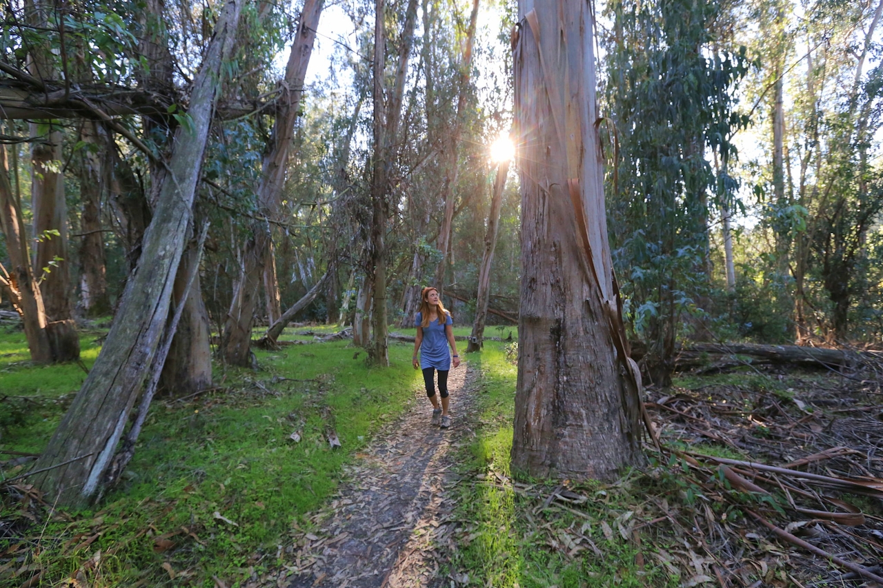
It’s kind of hidden, but when you do find it, it heralds the start of a 3.5-mile (round-trip) journey featuring a eucalyptus forest, giant sequoias, a lush peace grove, and spectacular views of the bay. The trail winds gently uphill through the woods before leveling briefly at a fire road where you’ll take a hard right to a slinking trail that leads to Wildcat Peak. On the way, you’ll pass by the Rotary Peace Grove. Established in 1955, the grove commemorates individuals for their contributions to world peace; every year someone is selected to receive the honor.
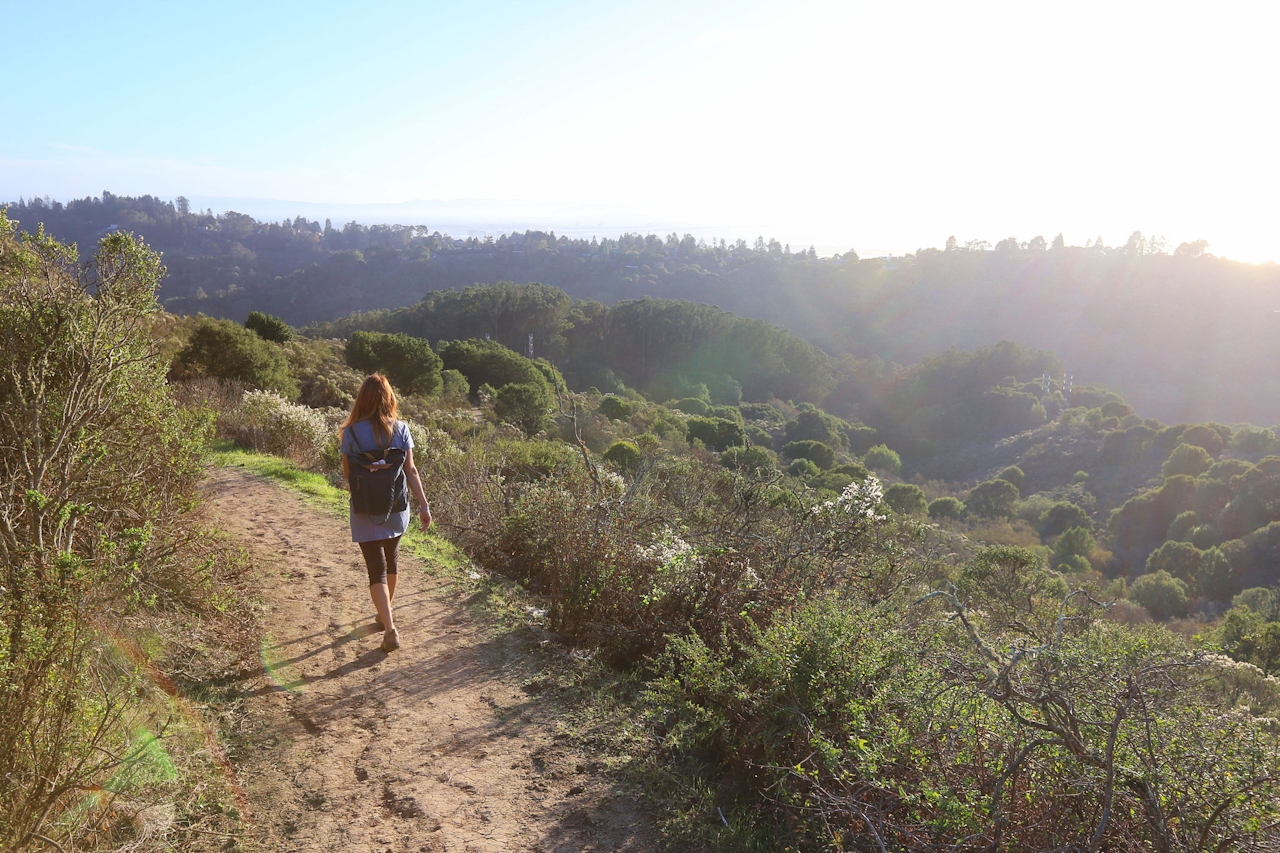
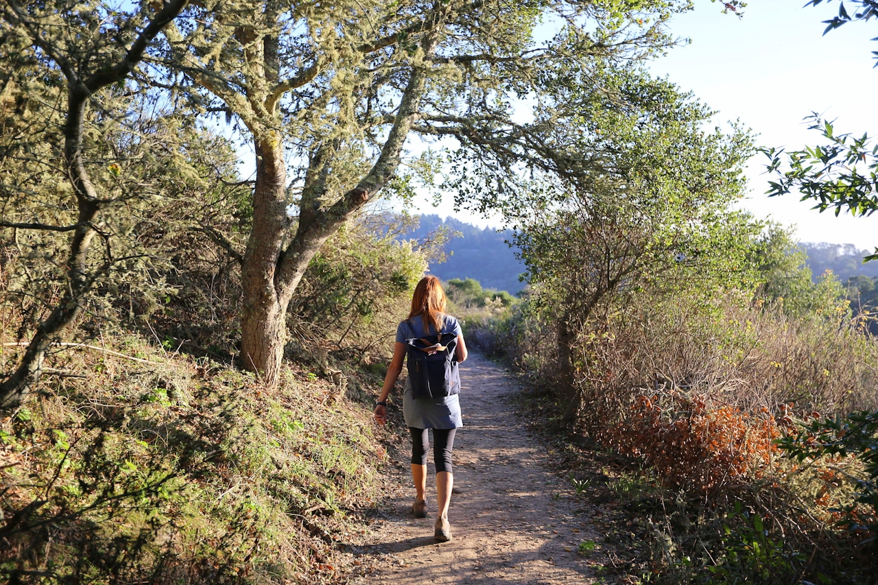
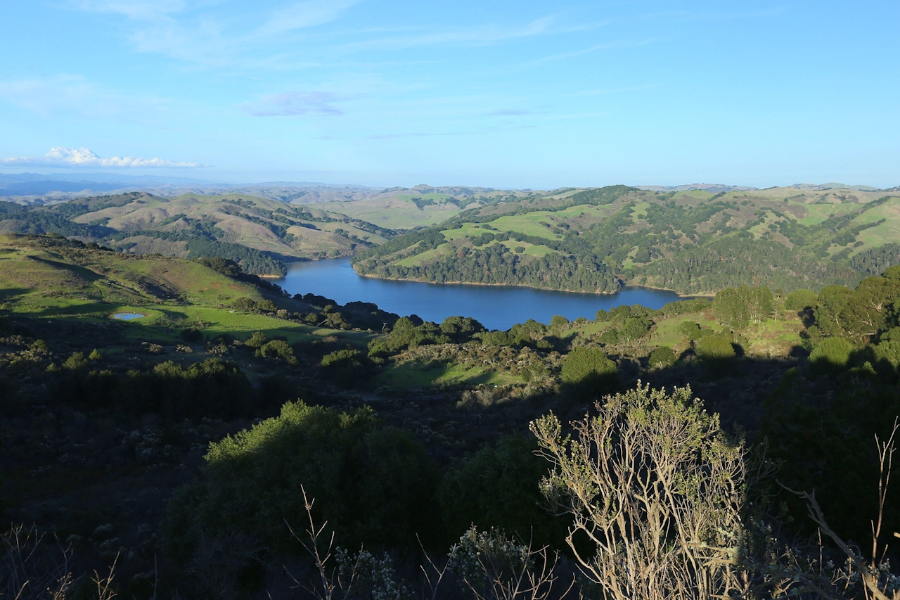
Take a short stroll through the grove’s stocky giant sequoias and view the various plaques naming honorees, including the Dalai Lama. From here it’s a short hike up to Wildcat Peak and its far-reaching panoramic bay views.
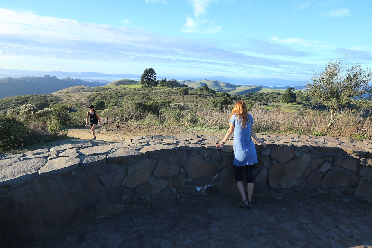
A beautiful circular stone structure and bench area lead you around the panoramic scenery: The Golden Gate Bridge, San Pablo Reservoir, Mount Diablo, the giant cranes of the Port of Oakland, and the San Francisco skyline all sparkle.
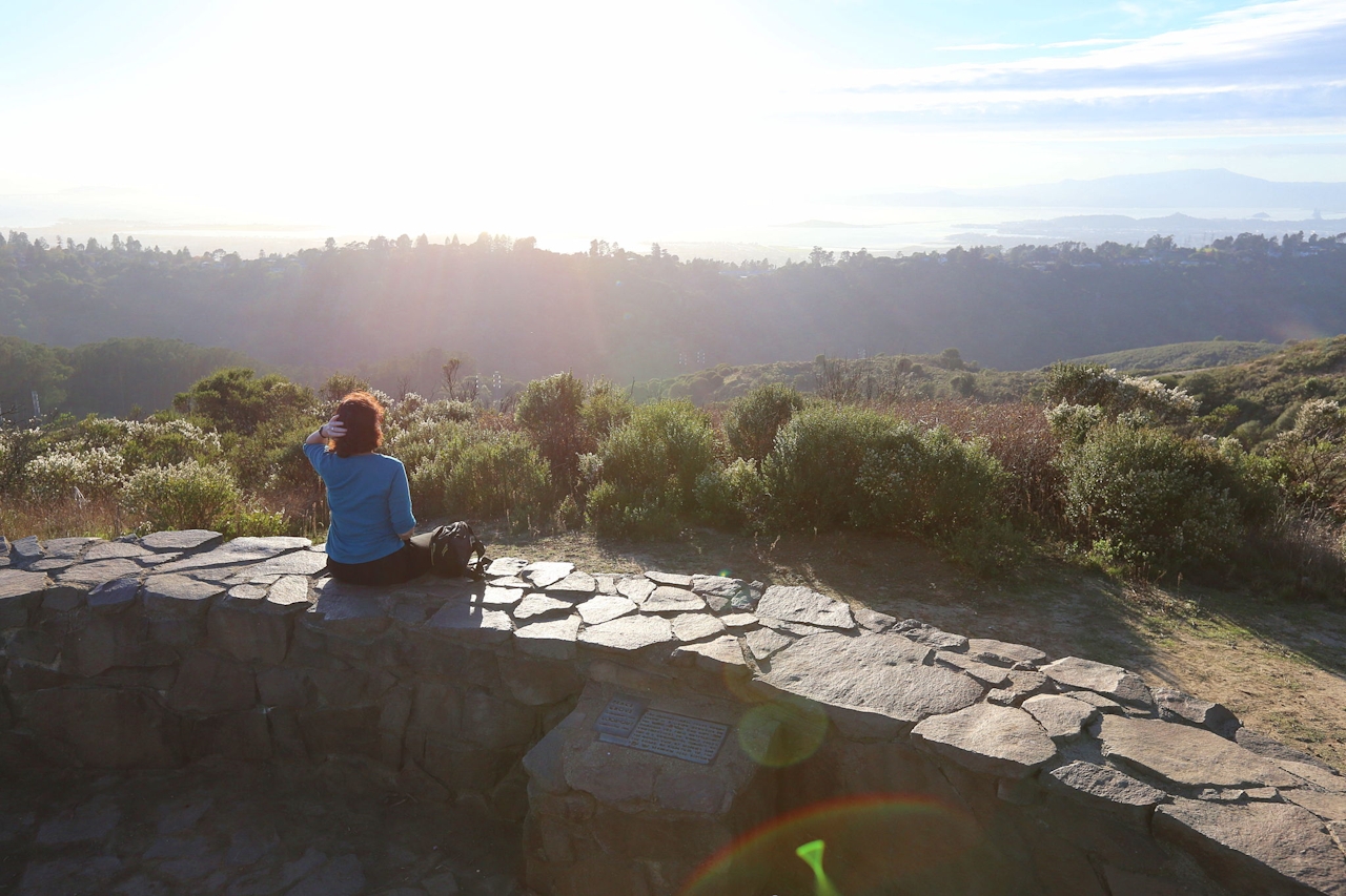
You’re just slightly past the halfway point now. From here it’s downhill through the quiet forest before the finale: a peaceful stroll beside Jewel Lake and back to the parking area.
From the Tilden Park visitor center, walk through the back door, across the grass and find the Laurel Canyon Trail. Stay on this all the way to Laurel Canyon Rd. and turn left. From the fire road you’ll make a right turn onto Peak Trail, which is easy to miss (look for the signpost and sharp right singletrack trail going uphill). From here follow Peak Trail to the Rotary Peace Grove and Wildcat Peak. The actual peak is up a short spur trail. Then descend Peak Trail to Sylvan Trail. Turn right on Sylvan Trail, and take Lower Pack Rat Trail along Jewel Lake and back to the visitor center. No dogs.







