Look Out—It’s Tahquitz!
Hiking Devil's Slide Trail to Tahquitz Peak


The hike to 8,846-foot Tahquitz Peak in the San Jacinto Wilderness boasts awesome views and an intriguing legend. The peak was named by the Cahuilla Indians after a powerful, evil shaman who possessed an insatiable appetite for human flesh—and he happened to call this very mountain home. Not to worry. Tahquitz (pronounced tah-KEETS) was trapped long ago behind Tahquitz Rock, so you won’t be eaten in the course of the 8.3-mile (round-trip) out-and-back hike. But with a gain of 2,400 feet, it’s still a challenge.
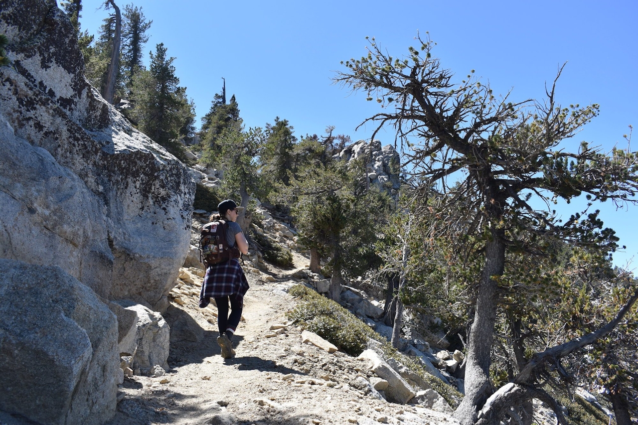
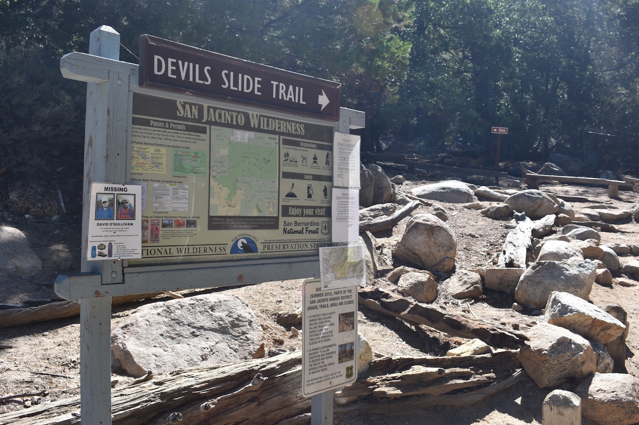
From Humber Park in Idyllwild, follow the Devil’s Slide Trail for 2.5 miles to Saddle Junction. The trek is completely uphill during this stretch, but the moderate grade, paired with frequent stops to take in the stunning views, makes it bearable. Admire unobstructed views of Tahquitz Rock and Suicide Rock as the trail winds through shady subalpine forests to the top of the ridge. After Saddle Junction, take the Pacific Crest Trail for 1.4 miles toward Tahquitz Peak. This section offers a bit of a break, with a gentler grade and even some flat stretches. The trail passes over exposed granite with little shade, offering panoramic views toward Palm Springs.
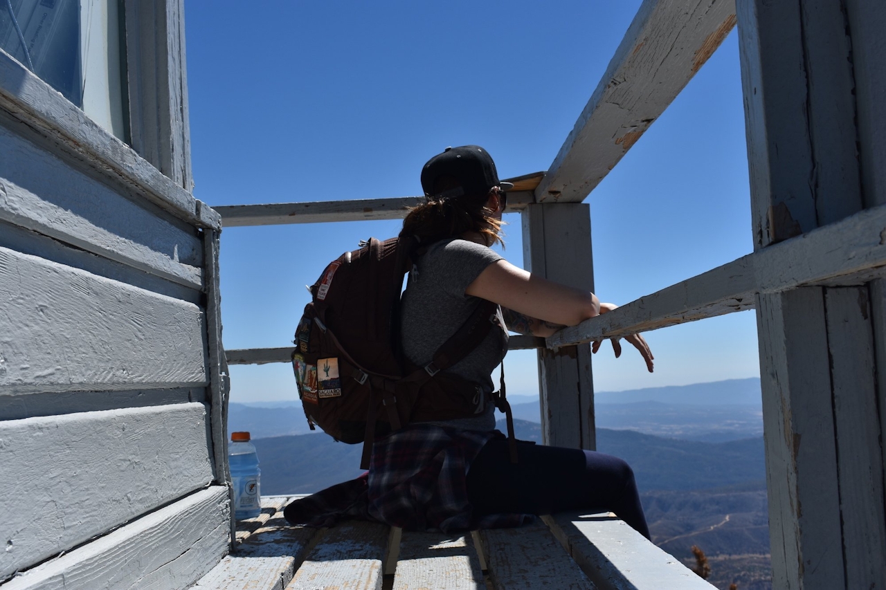
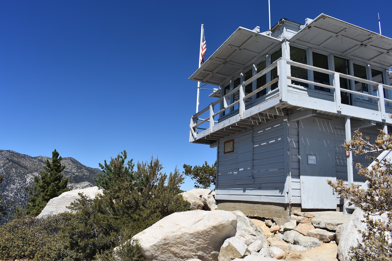
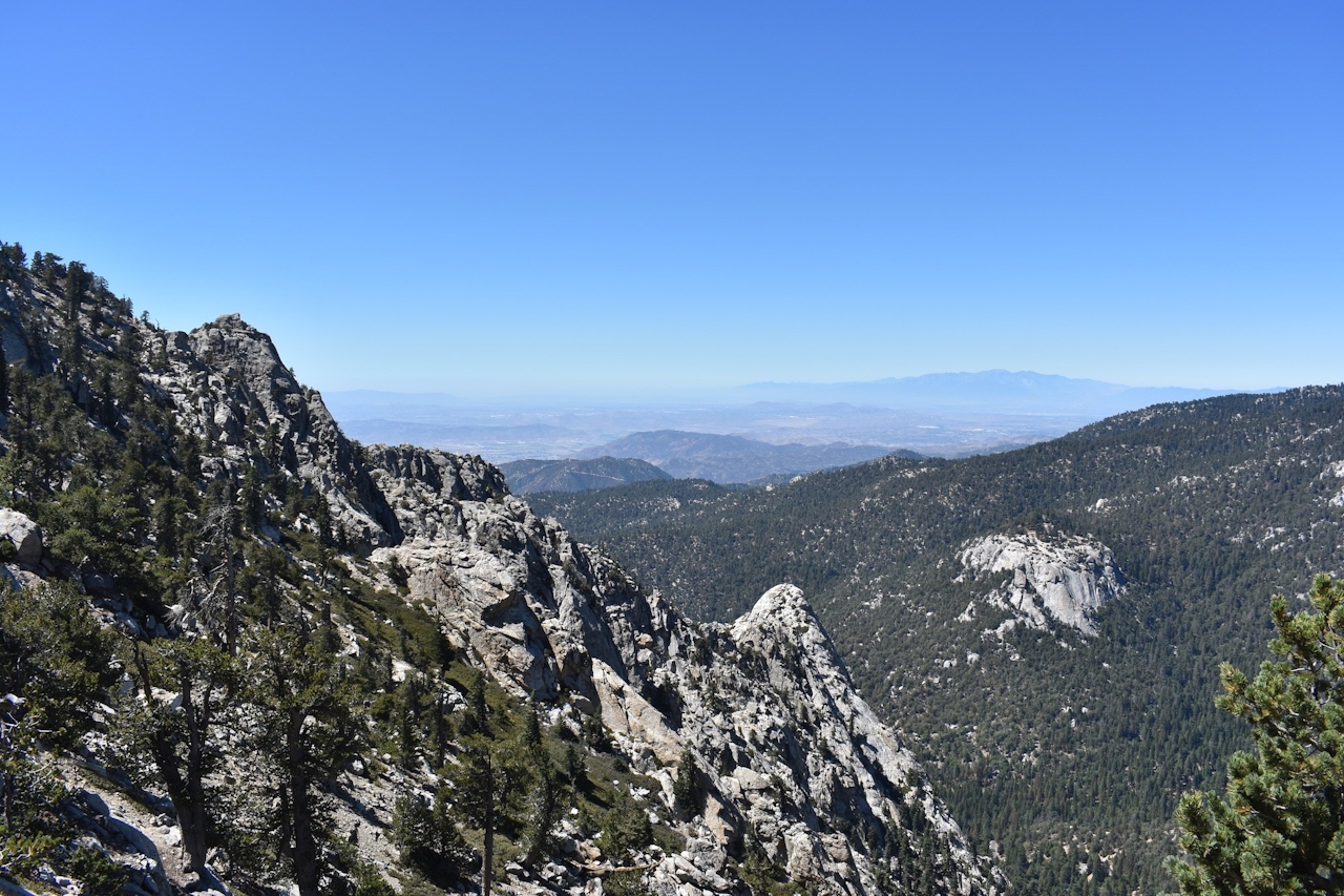
From there, take the turn for Tahquitz Peak fire lookout. This is the steepest part of the trail, but it lasts just 0.2 mile until you reach the summit. As you round the final bend you are immediately met with awe-inspiring views. From the watchtower, you'll have 360-degree views of the Inland Empire and surrounding deserts, lakes, and mountains—even as far as downtown Los Angeles and Catalina Island on a clear day. It’s worth tempting the anger of Tahquitz for views like that!
From the I-10 in Banning, take Exit 100 and follow CA-243 for 25 miles to Idyllwild. Once in town, make a left onto North Circle Dr. Turn right onto South Circle Dr. (a stop sign), followed by a quick left onto Fern Valley Rd. Follow signs to Humber Park. Adventure Pass and Wilderness Permit required. Be sure to obtain both from the ranger station in town before heading to Humber Park. Permits are not available at the parking area. Dog-friendly!







