Lands End Hike San Francisco

Lands Zen

Hiking Lincoln Park Steps and Lands End in San Francisco

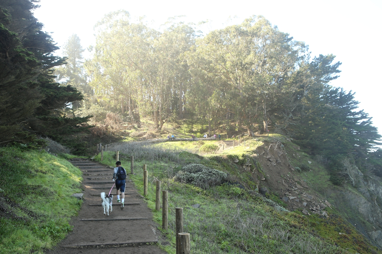
Find a little peace in San Francisco on an urban walk featuring a beautiful stairway, panoramic views, a labyrinth, and plentiful coastal drama. Indeed, Lands End is a popular outing on the weekend, but go early or a couple of hours before sunset to avoid the thick crowds. And start at the Lincoln Park Steps at the very end of California Street.

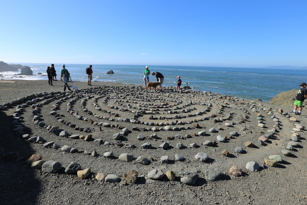
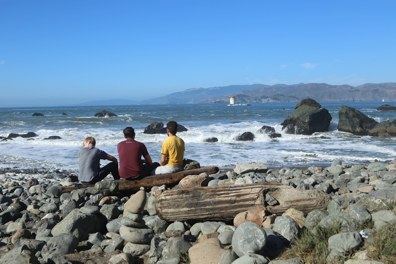
Less than a mile in, take the turnoff for Mile Rock Beach. This is also the way to the famous Lands End labyrinth. Claim your calm here for a while or continue down to the pocket beach and sidle up to a piece of driftwood. Lands End Trail continues for another half mile to the modern visitor center and popular Sutro Baths ruins. Return the way you came. This hike’s so classic we like to return to it, every now and zen.
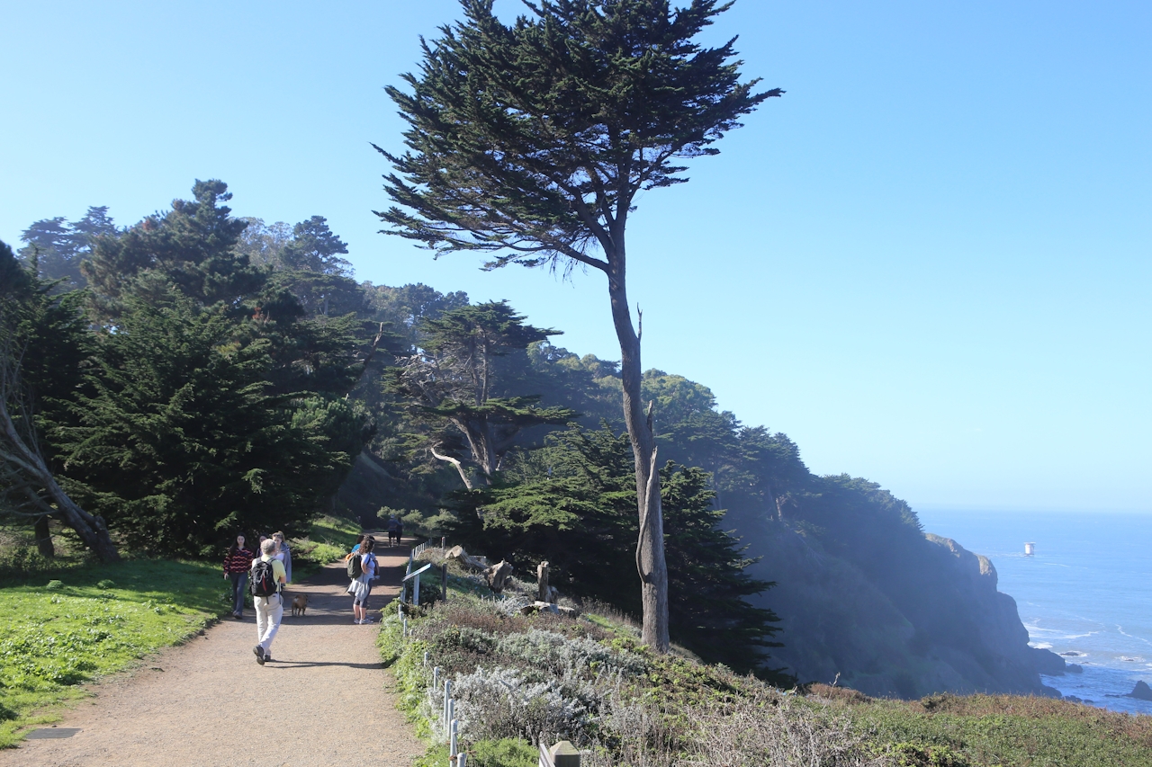
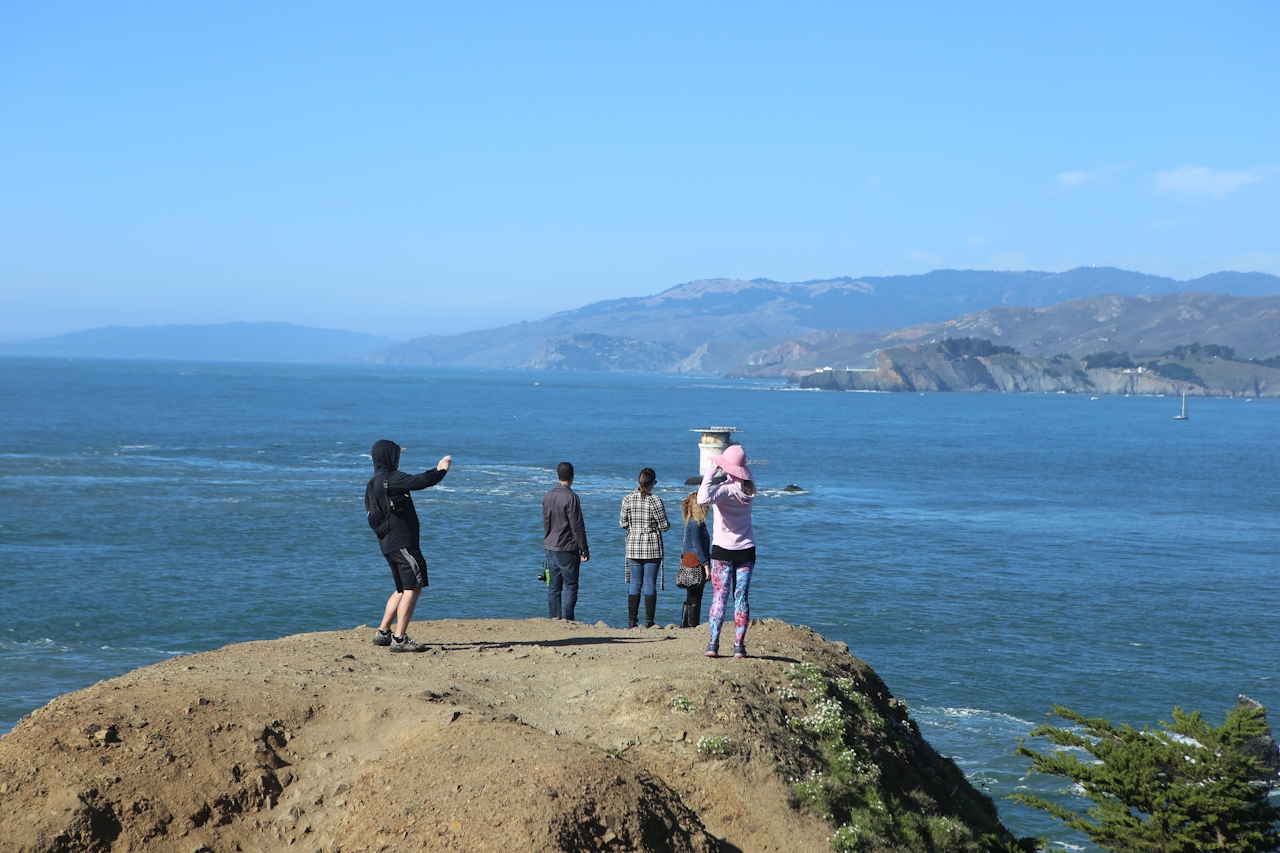
This once simple and crumbling staircase was transformed into a colorful work of mosaic art. Brightly colored tiled steps lead up to Lincoln Park. At the top, turn right and walk the dirt trail along the golf course. The trail crosses the street to join Lands End Trail, the coast-hugging beauty that gives way to views of the Golden Gate Bridge, the Marin Headlands, and Point Bonita Lighthouse.
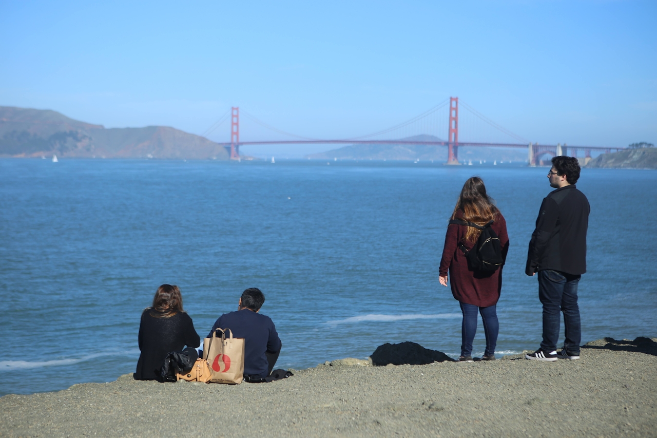
BONUS FOOD & BEER: Add a little comfort food and beer to your outing by stopping at the Lincoln Park Bar & Grill. Keep south past the Lincoln Park Steps for about a block, and you’ll see it on the golf course. This place is not fancy, and the patio seating leaves a bit to be desired, but its location on the golf course and view of the Golden Gate makes up for it, as does the BLT sandwich and chicken strips & fries.

Start at the Lincoln Park Steps, at California St. and 32nd Ave. (map). Walk up the stairs and turn right. Walk beside the golf course, cross Lincoln Hwy., and start walking the Lands End Trail. It's about 1.5 miles (one-way) to the end. Turn around and come back the way to you came. Dog-friendly!

Trending Stories NorCal

View all Stories
  1. Woman with her arms outstretched to the rolling hills scenery while on a rock outcrop at Barnabe Peak in Samuel P Taylor Sate Park in Marin

    Barnabe Bonanza

    Sure, there are higher mountains in Marin (Mount Tam) and easier ascents (Mount Burdell), but is there a more expansive North Bay view? Barnabe Peak in Samuel P. Taylor State Park offers a glorious panorama including Mount Tam, Mount Diablo, and Mount St. Helena.

    View
  2. Hiker on the SCA trail in Marin Headlands with view of the Golden Gate Bridge

    Headlands Over Heels

    People come from all over the world to get a glimpse of the Golden Gate Bridge. Get a dramatic and novel view of the bridge without all the people on this moderate 6-mile hike in the Marin Headlands.

    View
  3. Cheers to Chimney

    If you’re looking for all that Point Reyes has to offer in spring, Chimney Rock is the place to be. The 1.75-mile (round-trip) hike to Chimney may be short, but it packs a visual punch, quadrupling the viewing thrills during spring.

    View

Trending Stories SoCal

View all Stories
  1. Woman hiking the San Onofre Bluffs Loop Trail to San Onofre State Beach in San Diego County

    Bluffing Good!

    Lovely coastline, beautiful beaches, unique geological history, and picturesque sandstone cliffs with limited foot traffic in San Diego County? Head to San Onofre State Beach and the 5-mile San Onofre Bluffs Loop Trail.

    View
  2. Can We Get a Whoop Whoop!

    City, mountain, and ocean views all in one hike? Whoop whoop! It’s no surprise the the Kenter Fire Road and Whoop-de-Doos Trail (a combo of fire road and singletrack) is a favorite among local mountain bikers and hikers alike.

    View
  3. The Big Chill

    In LA, finding a place to chill can be the ultimate flex. So flex, in Franklin Canyon! This unexpected oasis has plenty of shade, cool lake breezes, and ample picnicking spots. Enjoy it on an easy-going 1-mile stroll along its reservoir and duck pond.

    View