Enchanted Oaks
Hiking Oak Tree Loop in Wildwood Canyon State Park


Enchanting oak forests are the closest thing to a SoCal hiker’s fairy-tale setting—swarthy trunks, long, spreading branches, cool shade on a warm day. Experience one of the densest and most alluring examples at Wildwood Canyon State Park in Yucaipa via a 2.25-mile loop.
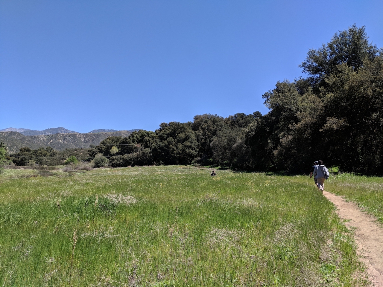
After parking, walk past the windmill toward the Oak Tree Loop trailhead. Ignore the fire road on the left and head on the narrow path to your right as it leads into a shady oak canopy. The trail immediately exits into an open meadow. Look above for circling red-tailed hawks and ahead for mule deer feeding on the overgrown grass.



At the next junction, take the ascending path on the right, but hang around under the next canopy of oak, bathing in the beauty and listening for red-headed woodpeckers. The trail plateaus shortly after and offers a beautiful view of the Moreno Valley to the south, framed by the peaks of the Cleveland National Forest. Ahead, the trail splits; continue northeast on the McCullough Loop for a gentle uphill workout and an oak forest reward at the finale. At the intersection with Hi Up road, take a side-trip right to check out the old McCullough ranch house and some panoramic views before continuing on the loop.
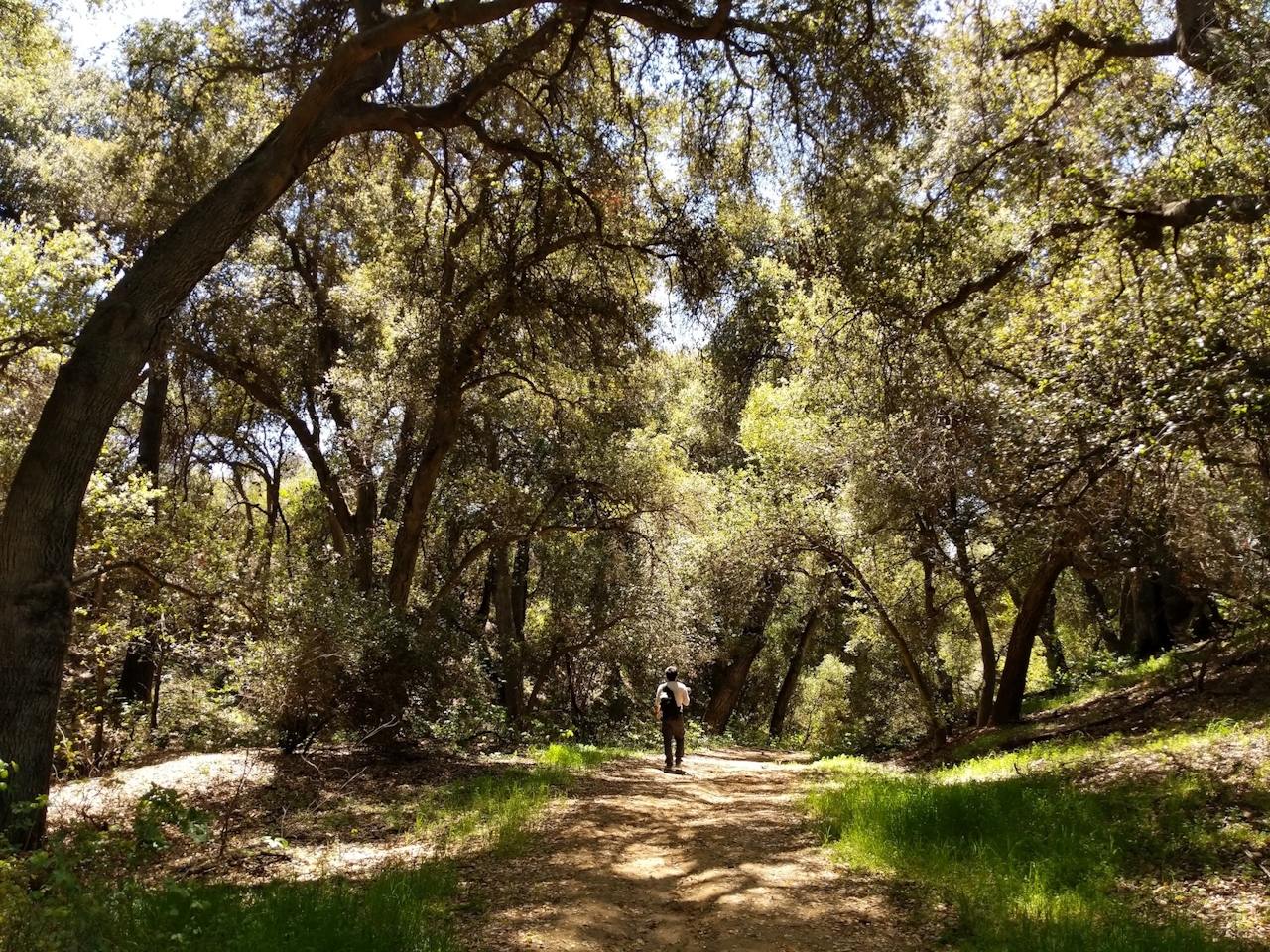
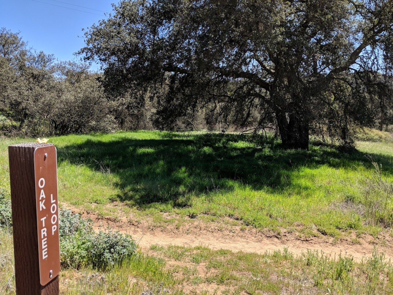
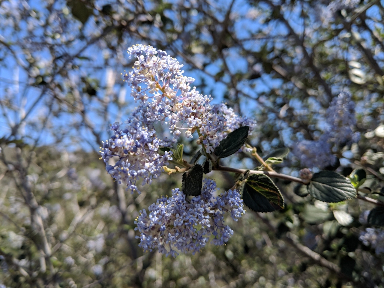
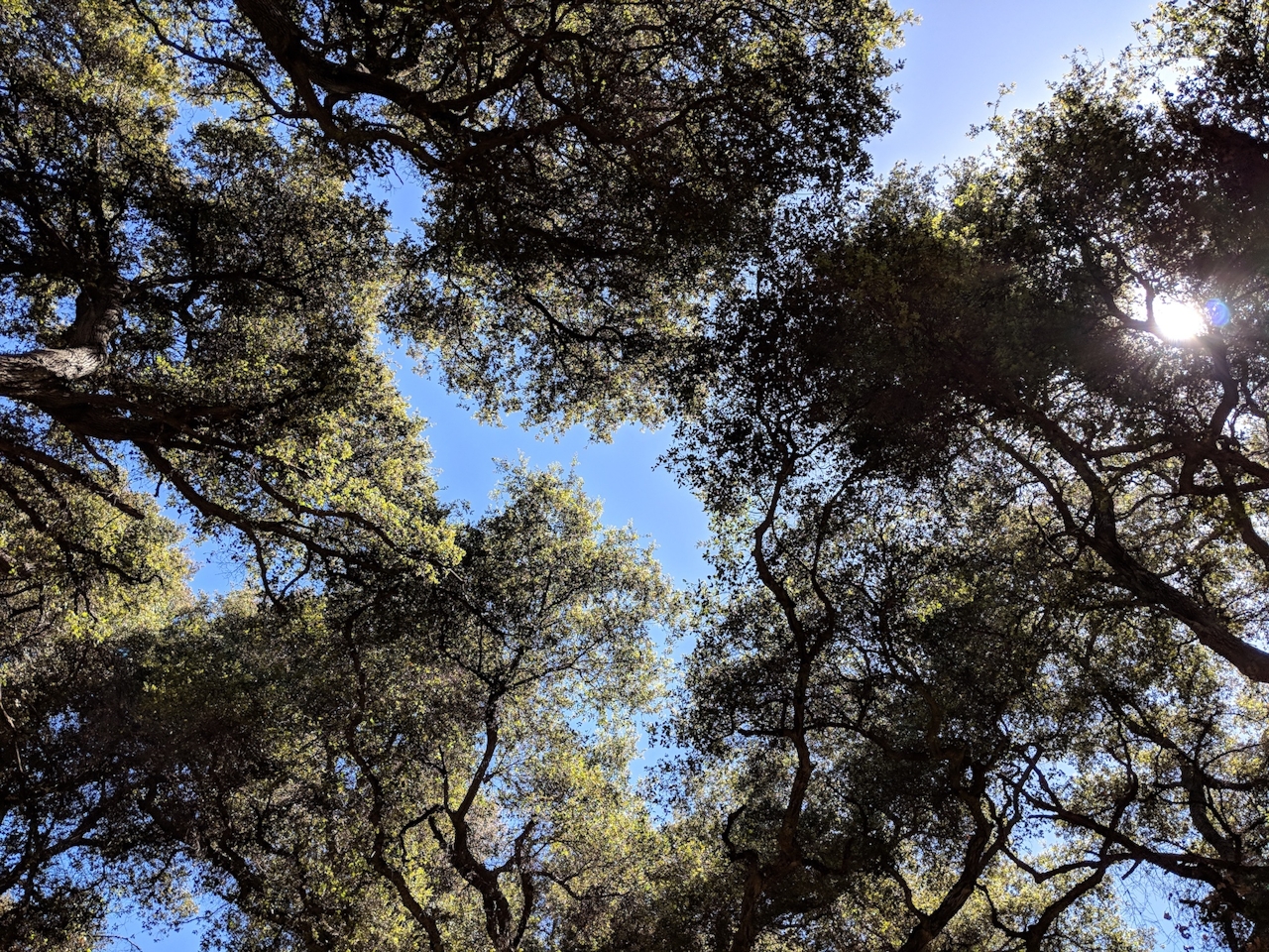
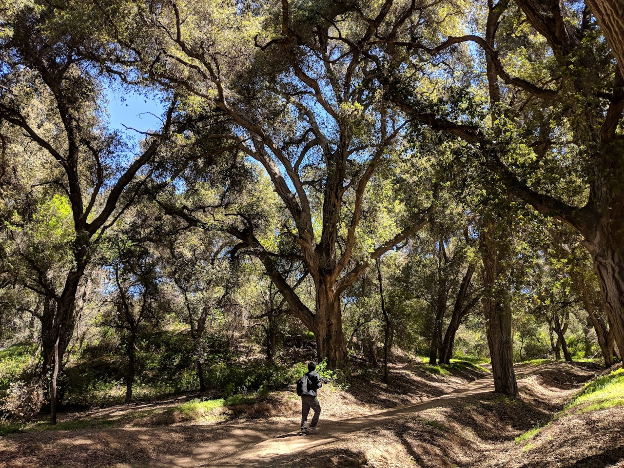

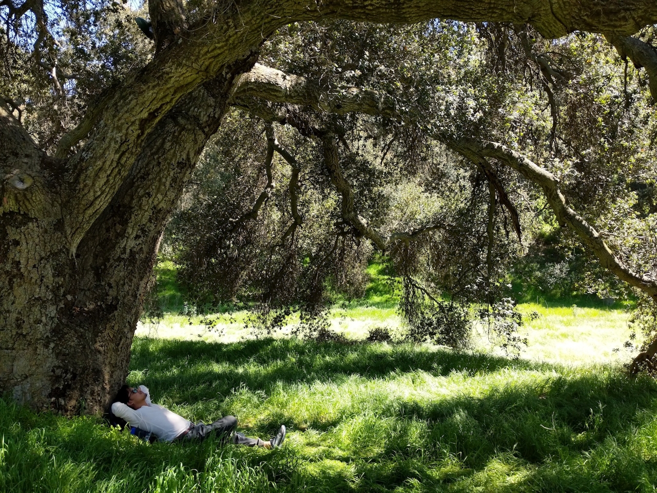
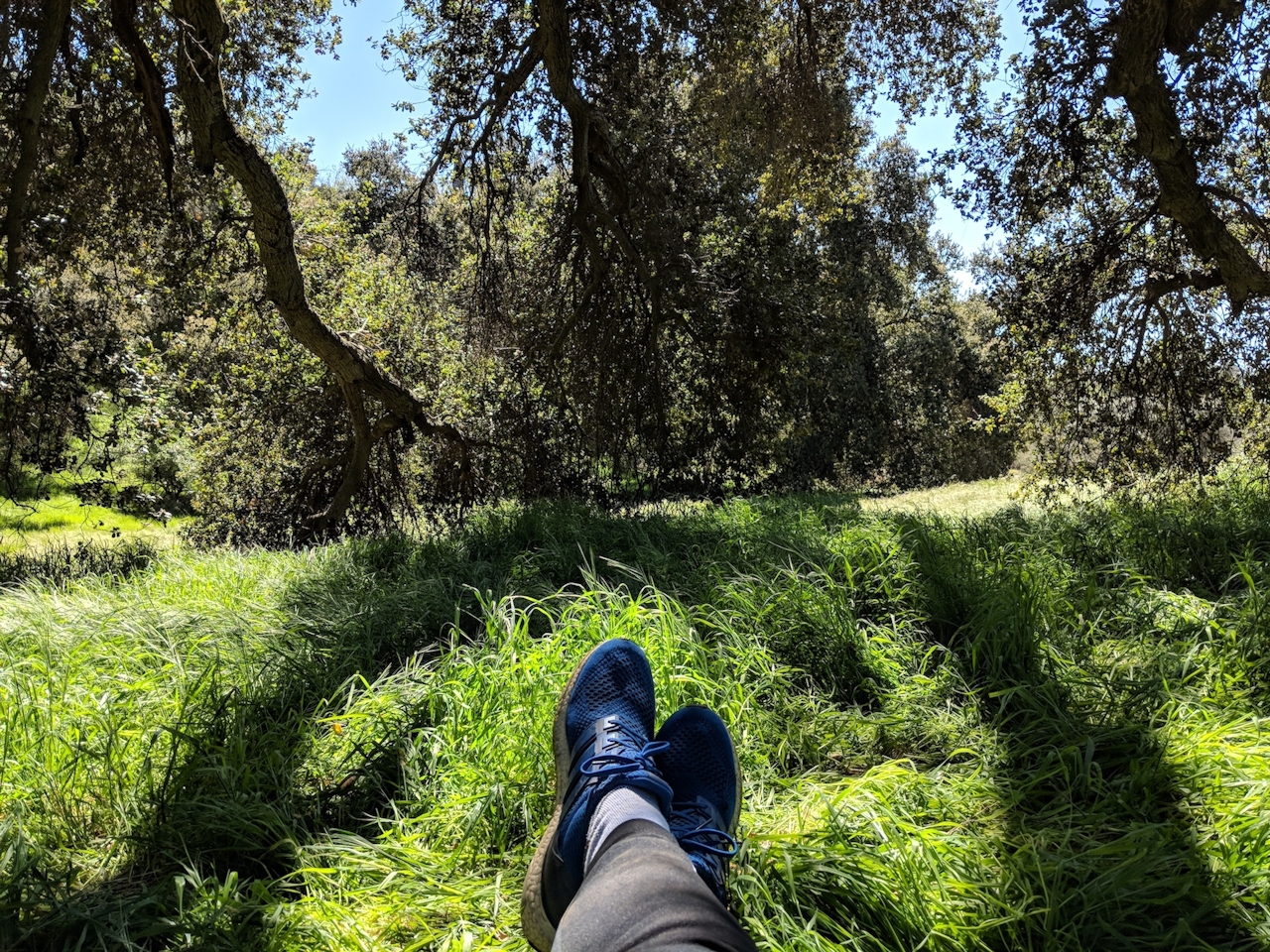
At around the 1.5-mile mark, you’ll enter the interior live-oak forest, a perfect culmination to your hike. Some of the massive, thick-branched trees here are upward of 250 years old. Lose yourself as you descend among these gnarly giants. If you’re tempted to wander off-trail to hug the trees, just be wary of poison oak and scurrying quail. Your adventure ends at an equestrian staging area leading to the dirt lot and your car.
Take the I-10 toward Yucaipa to the Live Oak Canyon Rd. exit. Turn left onto Live Oak Canyon Rd./Oak Glen Rd., followed by an immediate right onto Calimesa Blvd. After just over a mile, turn left onto Wildwood Canyon Rd. and continue 4.3 miles to Canyon Dr. Turn left into the park and proceed to the large dirt lot. Dog-friendly!







