Nuclear Option
Hiking PG&E's Point Buchon Trail Near Montaña de Oro State Park


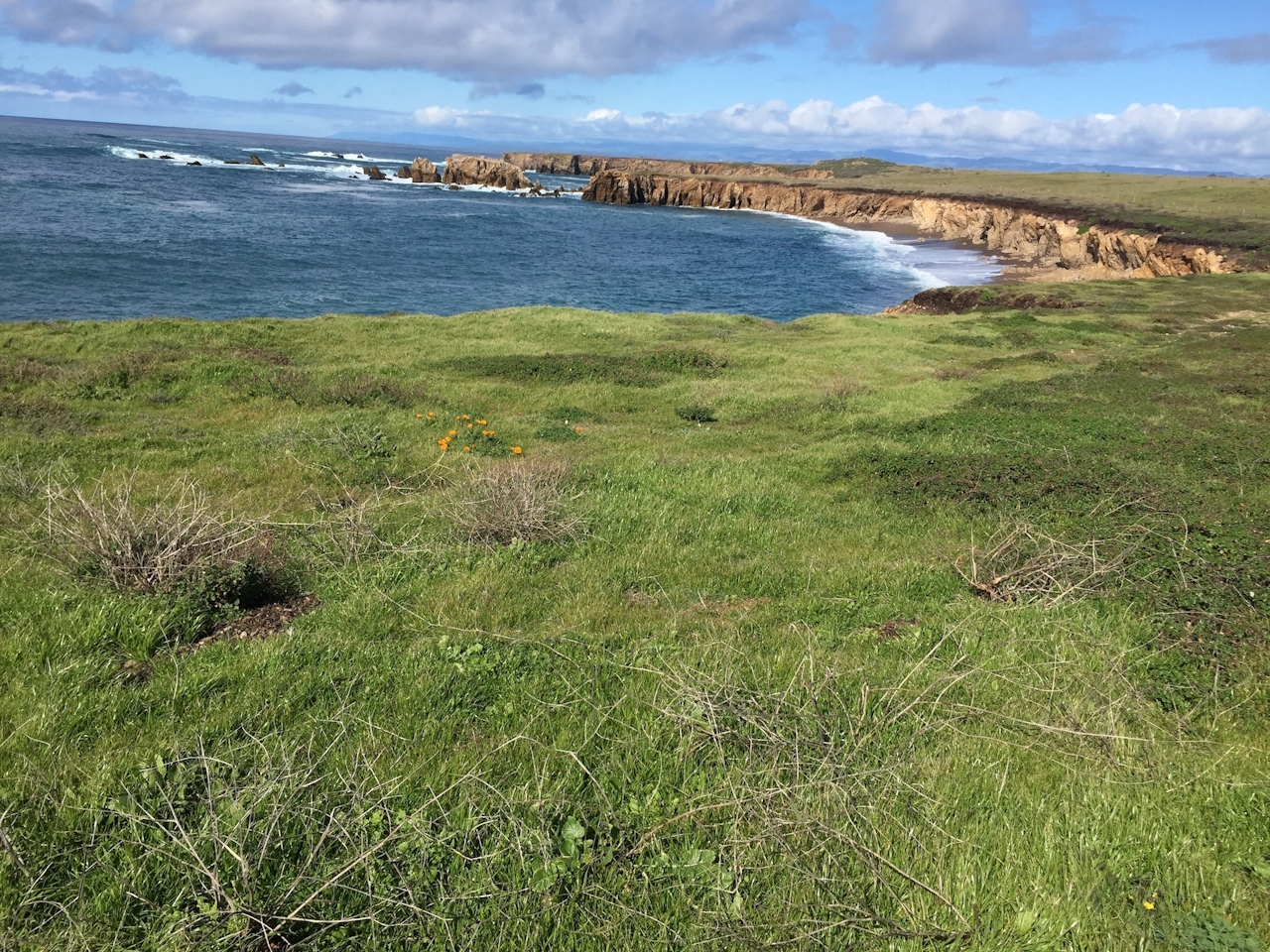
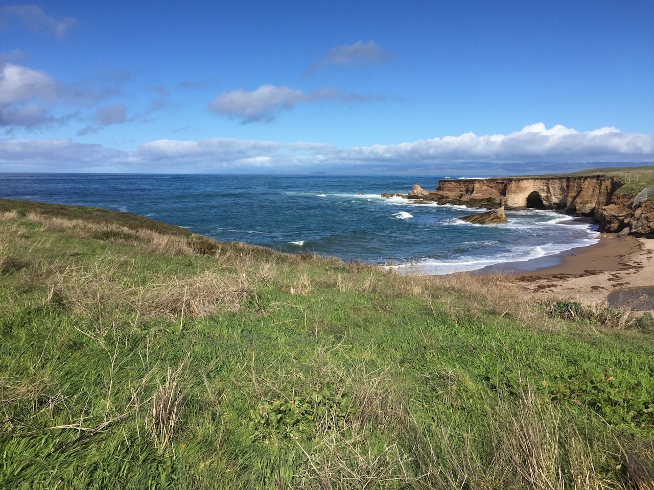
A private stretch of the glorious Central Coast with poppy-studded hills and wild coastal bluffs is ours for the hiking, and you’ll never guess who the willing-to-share landlord is: none other than PG&E’s Diablo Canyon nuclear power plant. Point Buchon Trail makes a grand tour of this dramatic scenery, north of the power plant and south of adjacent Montaña de Oro State Park—first with a 1.3-mile lollipop loop around the point itself, then by way of an out-and-back extension for a possible round-trip total of 6.6 miles. And every inch is gorgeous.
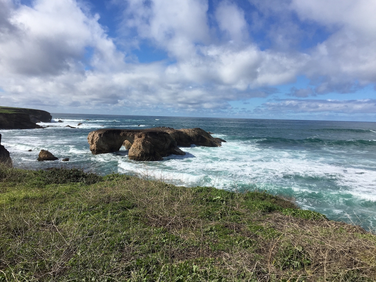
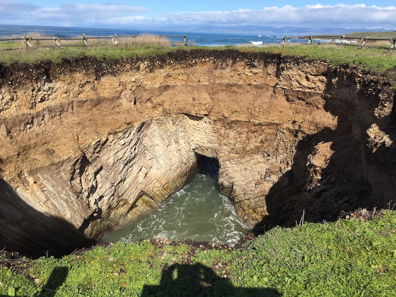
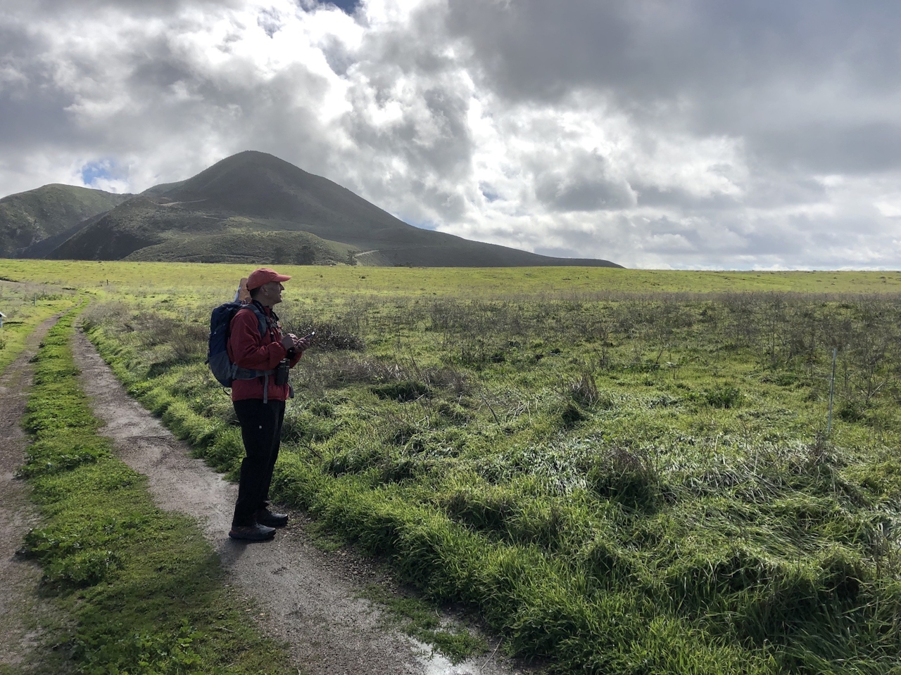
PG&E limits the trail to 275 hikers a day, so get there early, check in at the trailhead kiosk, then start following Coon Creek toward the coast, bearing right at the first trail intersection. Just when you think you’re about reach your first coastal bluff, nature throws you a curveball in the form of a giant sinkhole—a collapsed sea cave through which waves swirl. You can circle the sinkhole behind a barrier fence to get different perspectives on it before you continue to Point Buchon itself. At the point, you have northward views of cliffs and a sea arch in Montaña de Oro. To the west is, you guessed it, the Pacific Ocean, with sea stacks in the foreground, oystercatchers patrolling just offshore, and—look closely—migrating gray whales out to sea. Linger on the overlook bench as long as you wish before completing the loop.
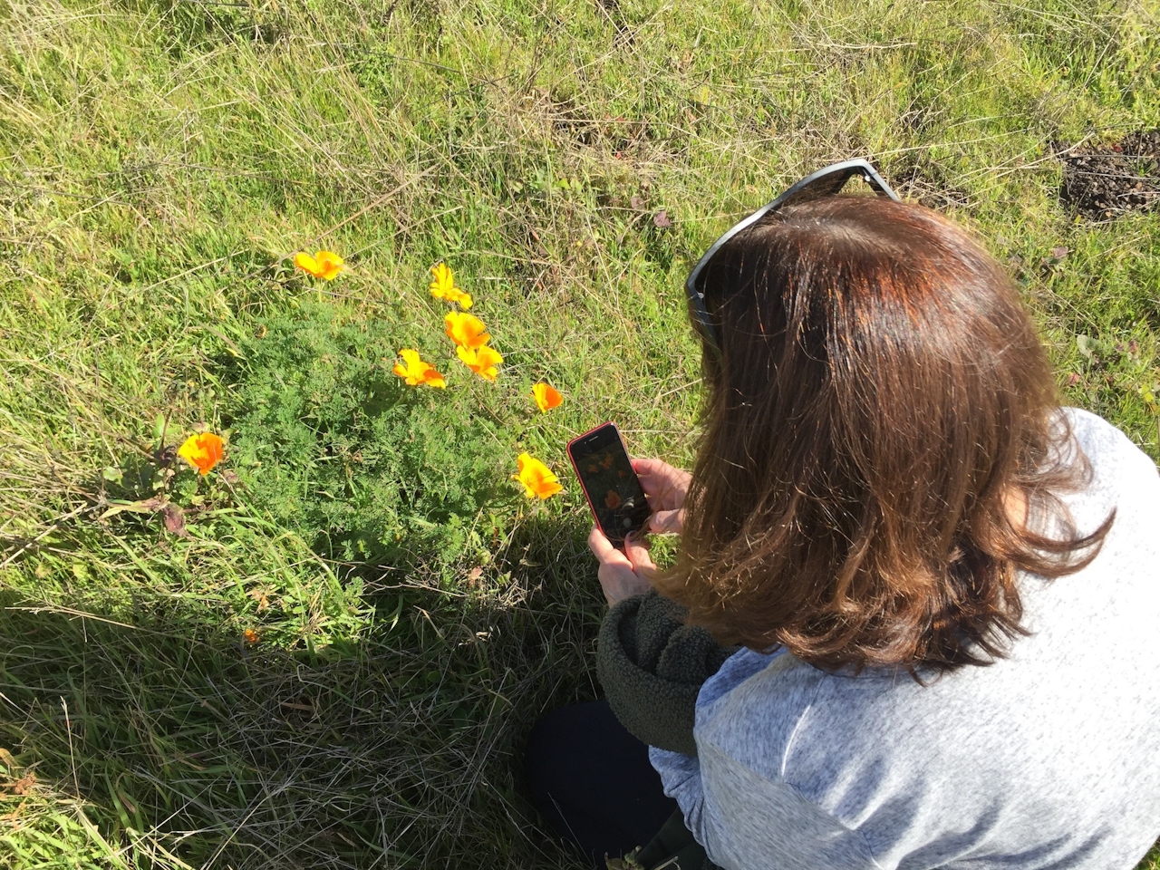
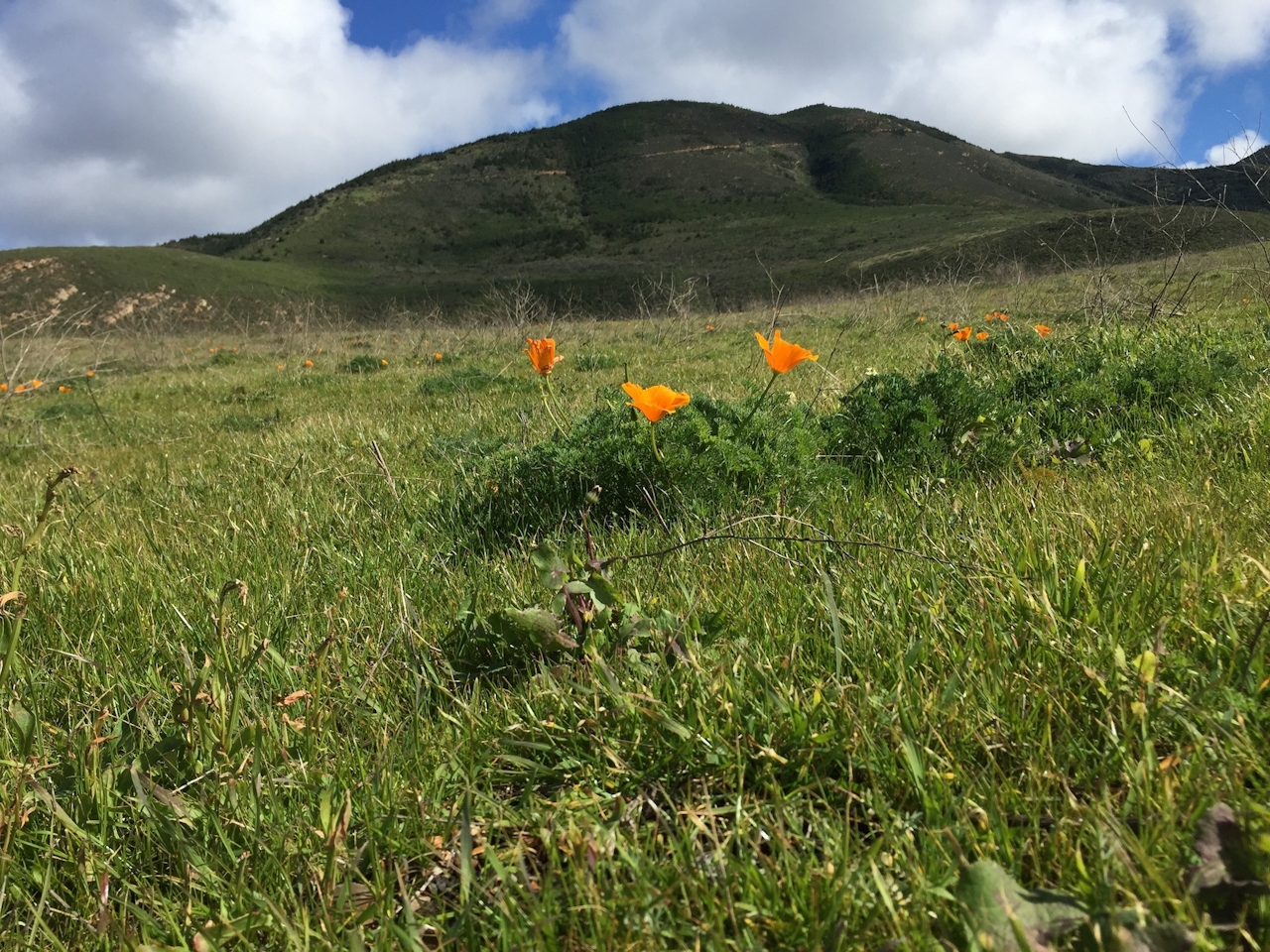

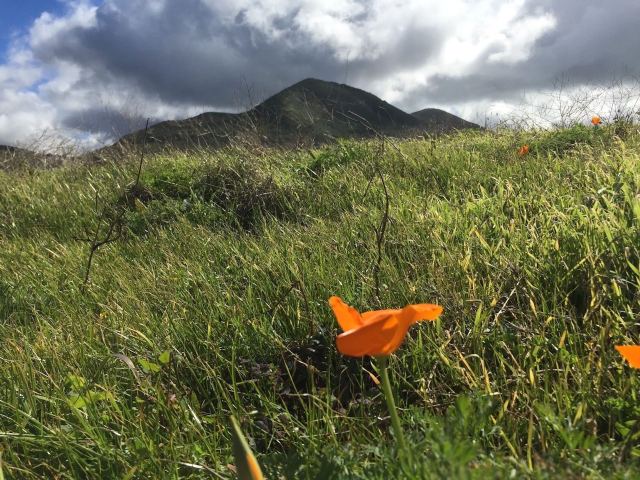

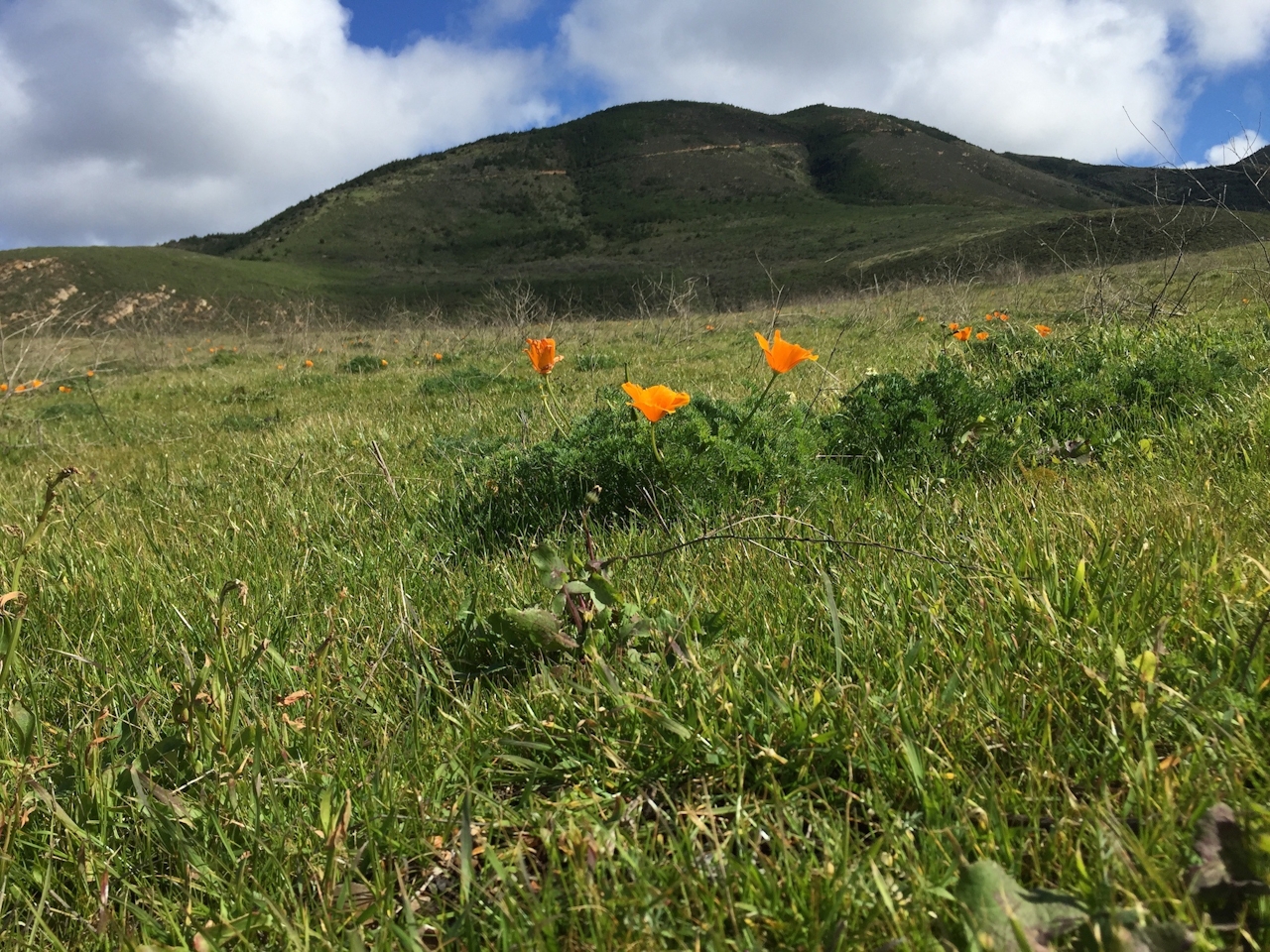
With your attention now diverted from the coast, you notice how lush and green the coastal hills are, with poppies nodding gracefully beside the trail and right on up the coastal mountainsides, earning their “mountain of gold” (Montaña de Oro) moniker. Lupine, morning glory, paintbrush, and fiesta flowers are also making spring appearances. If you opt for the trail’s southern extension, you’ll get more coastal views and, on a clear day, a look at the domed nuclear reactor from an overlook called Windy Point. No matter where you decide to head back, you’ve had a taste of the California coast that had been in private hands for nearly 200 years before PG&E opened it up in 2007.
From US-101 in San Luis Obispo, take the Los Osos Valley Rd. exit and follow that road 16 miles west and then south, as it changes to Pecho Valley Rd. Continue through Montaña de Oro State Park all the way to the Coon Creek parking lot. From there, walk through a gate and across Coon Creek to the trailhead, where you can pick up a trail guide as you sign a waiver. The trail is open Thursday through Monday starting at 8 a.m. No dogs.







