Watering Hole

Hiking Rock Spring Loop in Mojave National Preserve

In the dry, dry Mojave, water holes aren’t just oddities; they’re critical lifesavers. Rock Spring in the heart of Mojave National Preserve is a perfect example of a spot that has slaked the thirst of native tribes, explorers, and hikers (not to mention animals) for years. These days it’s easily visited on a 1-mile loop hike.

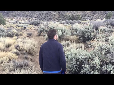
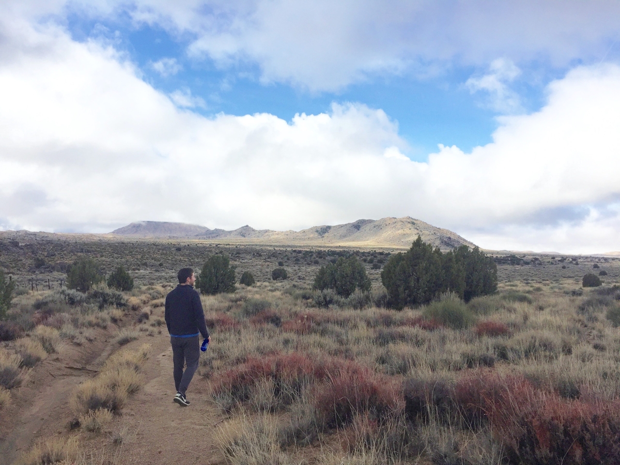
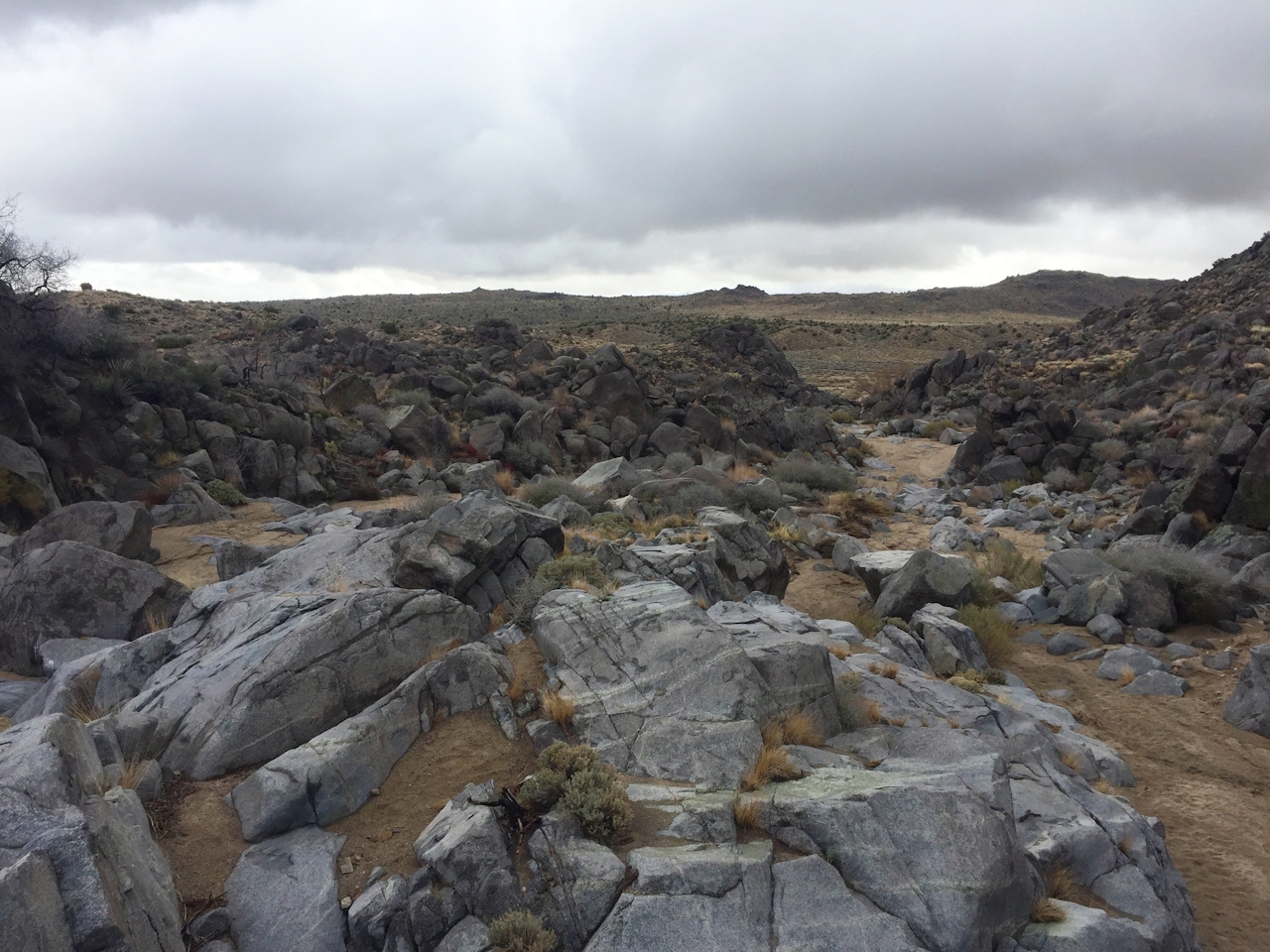
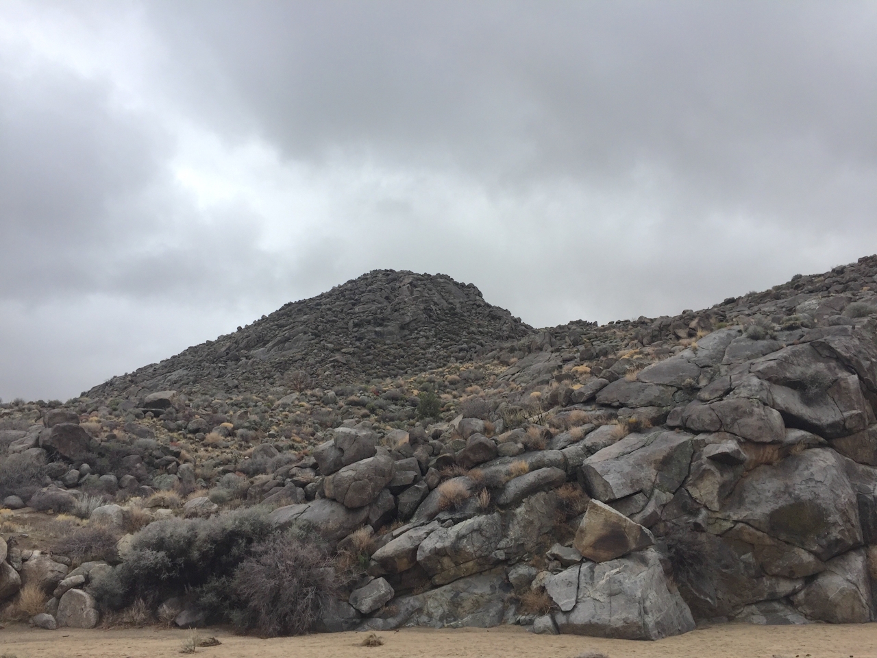
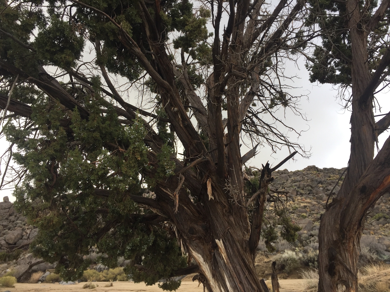
From the trailhead, it’s easier to head south (right) on the loop as opposed to east. No compass? Just use the New York Mountains to the north to orient yourself in the barren landscape. You’ll walk among juniper and pinyon pines before heading down a series of easily traversable granite ledges that you can scramble or slide down to reach the location of the spring.

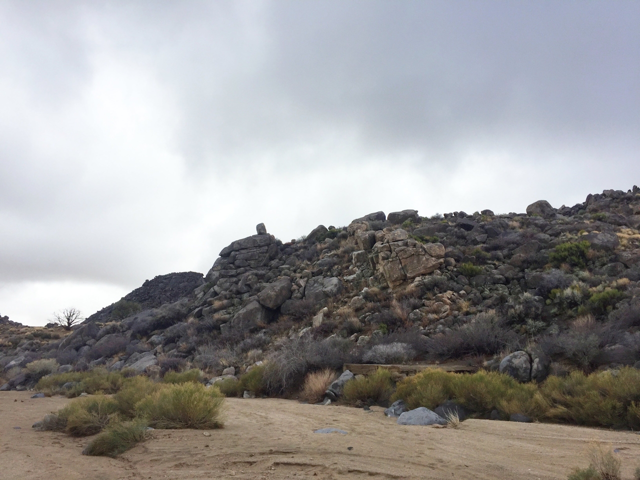
Depending on rainfall, the spring may be filled either with freshwater, stagnant water, or with no water at all. No matter what, take some of your own on the hike. The spring and its surrounding granite alcove make a great setting for a picnic before you wrap up the loop.
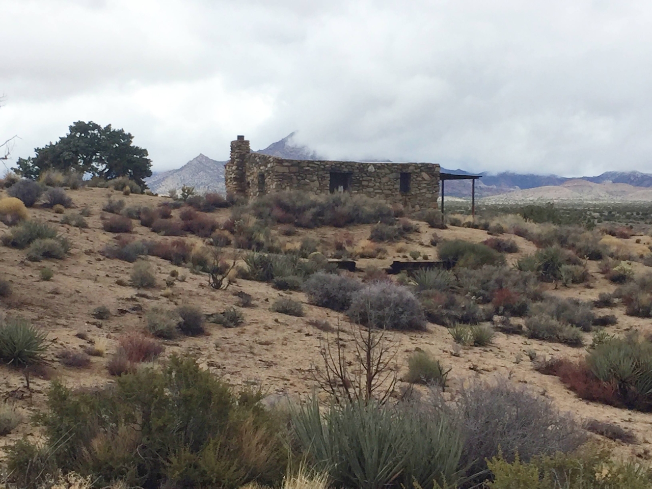
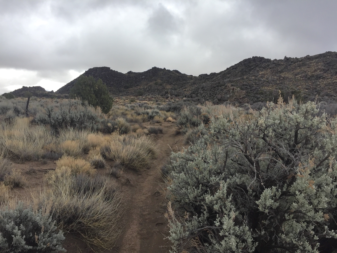
As you continue, you’ll see remnants of an old mining claim and an abandoned stone house that was originally built for a World War I veteran who had suffered from poison gas attacks. While that soldier was supposed to recuperate in the dry climate for just a couple of years, he ended up living in the small outpost for over three decades. As you enjoy the stunning and subdued beauty of the Mojave, it’s easy to understand why. And, of course, he had water nearby!

From paved Kelso Cima Rd., go east on Cedar Canyon Rd. for 9.4 miles and turn right. Continue 0.5 mile, turn left, and continue 1.2 miles to Rock Spring Rd. Turn right and proceed 0.1 mile to the parking area. Generally fine for 2WD vehicles. The nearest camping is 8 miles west at Mid Hills Campground ($12). Bring your own water. Dog-friendly!

Trending Stories NorCal

View all Stories
  1. Barbary Coast Trail medallion hike in San Francisco

    Medallion Walk SF

    The Barbary Coast Trail is a 3.8-mile historical walk and treasure hunt through San Francisco. Be on the lookout for hubcap-sized bronze medallions placed on the city sidewalks with arrows pointing you in the right direction.

    View
  2. Greater by the Dozen

    This hike is anything but a dime a dozen. The all-new "Golden Gate Dozen Trail" links 12 National Park sites on a spectacular 13-mile journey across San Francisco's coastline.

    View
  3. Inn-spiration Point!

    For more than a century, people have been hiking or mountain biking to West Point Inn for good reason. Perched at 1,785 feet on the southern slope of Mount Tamalpais, the historic inn has sweeping views from the Marin Headlands to the San Francisco skyline.

    View
  4. A Thousand Steps to Paradise

    A picture is worth a thousand words, but is a gorgeous beach in Laguna worth a thousand steps? The answer is yes, though the question is moot, because it’s only 223 steep steps down to the 400-yard stretch of sand known as 1000 Steps Beach.

    View

Trending Stories SoCal

View all Stories
  1. Roaring Redwoods

    Tucked next to brilliant Henry Cowell Redwoods State Park in Santa Cruz, the folks at Roaring Camp Railroads had a bright idea: When the sun goes down, the rainbow lights come up. Sequoias at Night brings big magic to some of the tallest trees in the world.

    View
  2. There's Always To Moro!

    Looking for a rock-solid itinerary in Sequoia National Park? Pair the park's most famous viewpoint with one that's often overlooked.

    View
  3. Rancho Style

    Vicente Bluffs Reserve dazzles anytime, but during the golden hour it’s an absolute knockout. Majestic rocky bluffs, dreamy ocean views, and a picturesque lighthouse are just a few of the reasons.

    View
  4. Hike to the Sierra Buttes Fire Lookout in the Lakes Basin

    Lookout for This View!

    Sierra Buttes Lookout, at a lofty 8,591 feet, is a memory maker for its pucker-worthy stairway to the tower’s balcony. It's a 5-mile (round-trip) hike to reach it. And the reward? Epic!

    View