Plateau Ho!
Hiking Santa Rosa Plateau Reserve in Riverside County


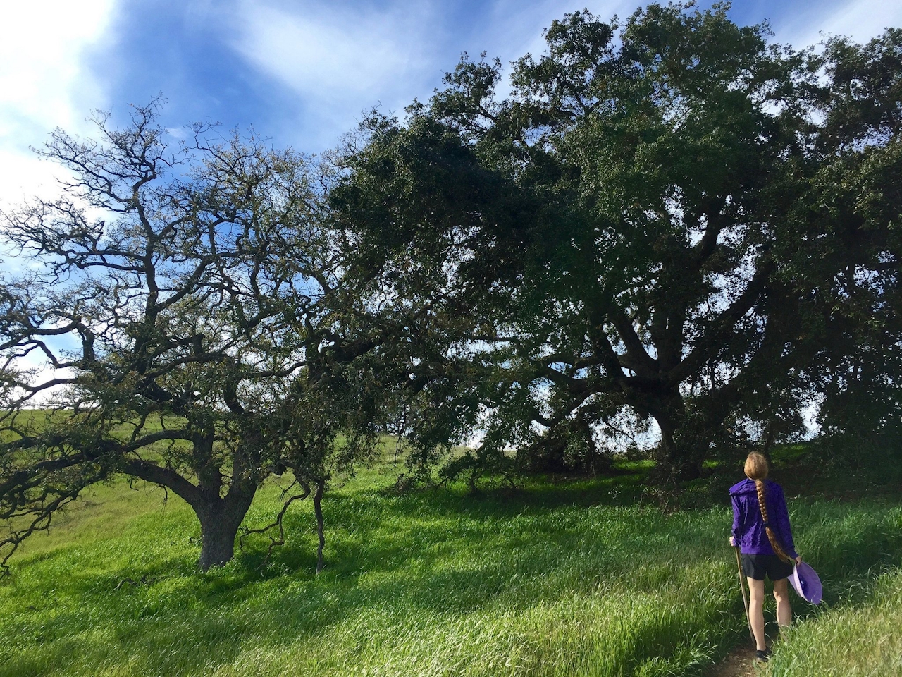
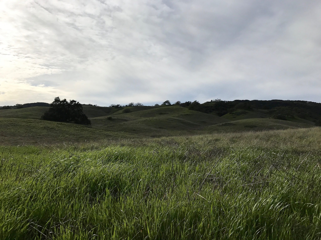
In the heart of the Inland Empire is a portal to California’s past, where colossal Englemann oaks spread their gnarled branches, and rare native grasses still flourish on verdant hillsides. A hike through the Santa Rosa Plateau Ecological Reserve near Murrieta is a visit to California as its natives knew it, long before the Spaniards (and their cattle) arrived.
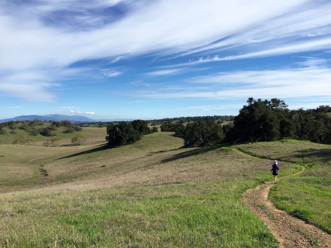
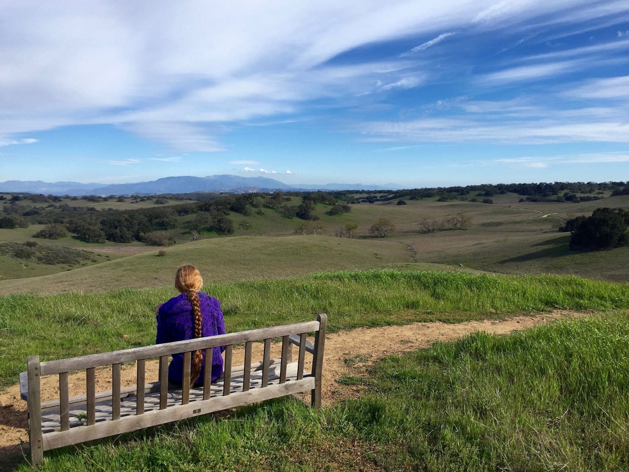
Begin your 6-mile loop at the Hidden Valley parking lot and trailhead. Head up the dirt road and make your first right (Los Santos Trail), where you’re immediately greeted by green rolling hills dotted with majestic Engelmanns. Head up the switchbacks through native bunchgrass prairie, which once dominated the state’s hills. Only about 1 percent remains. From a bench on the ridge you can enjoy panoramic vistas of the reserve, as well as the Palomar Mountains to the east and snowcapped San Jacinto and San Gorgonio to the northeast. The trail descends into a mini canyon enclosed by dense forests of Engelmann and coast live oaks, crossing a bridge over a peaceful stream. Sightings of red-shouldered hawks and sounds of great horned owls are common as you reach the 1.5-mile mark.
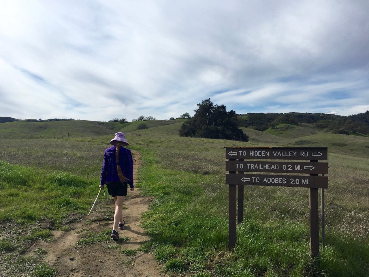
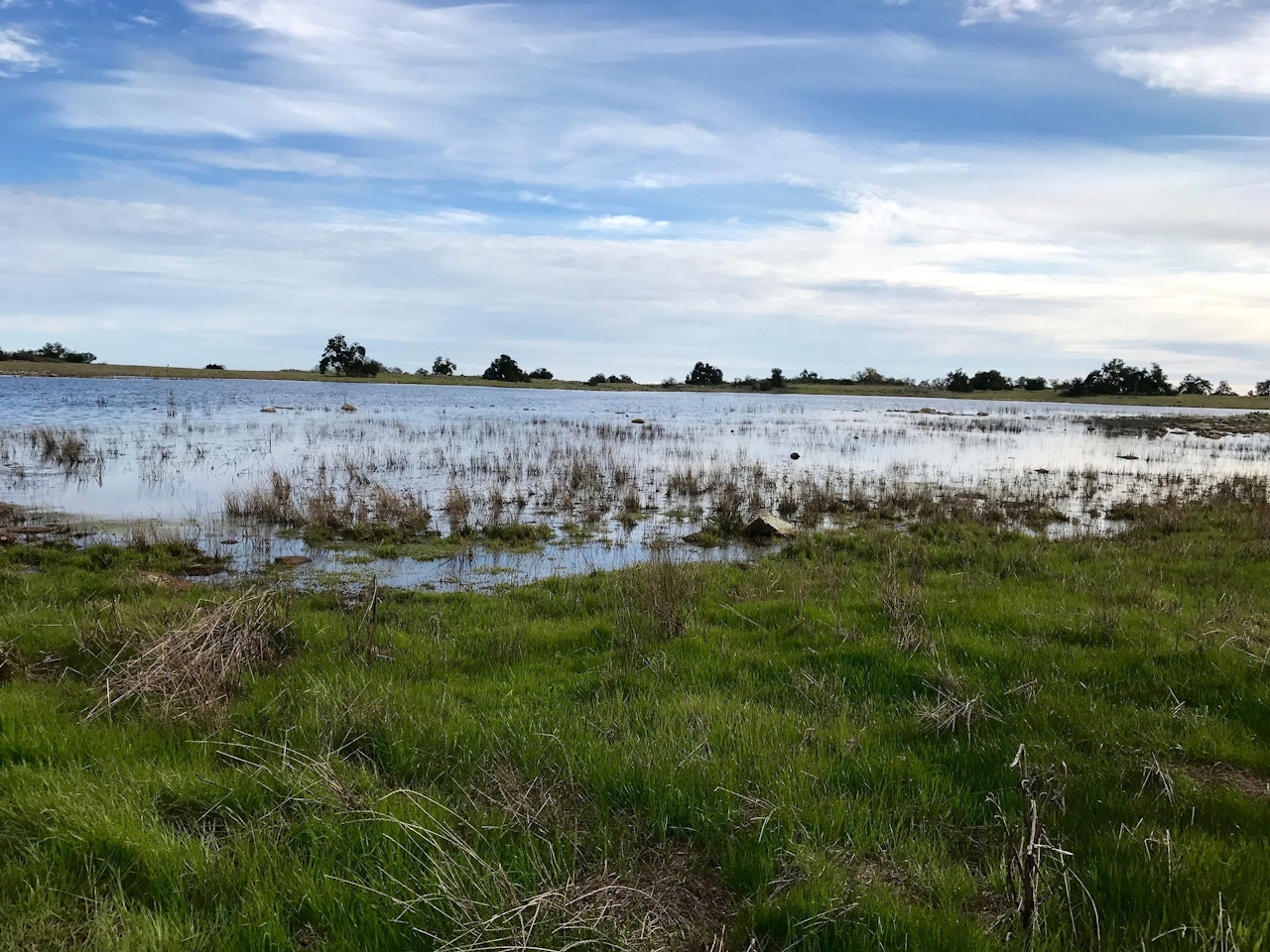
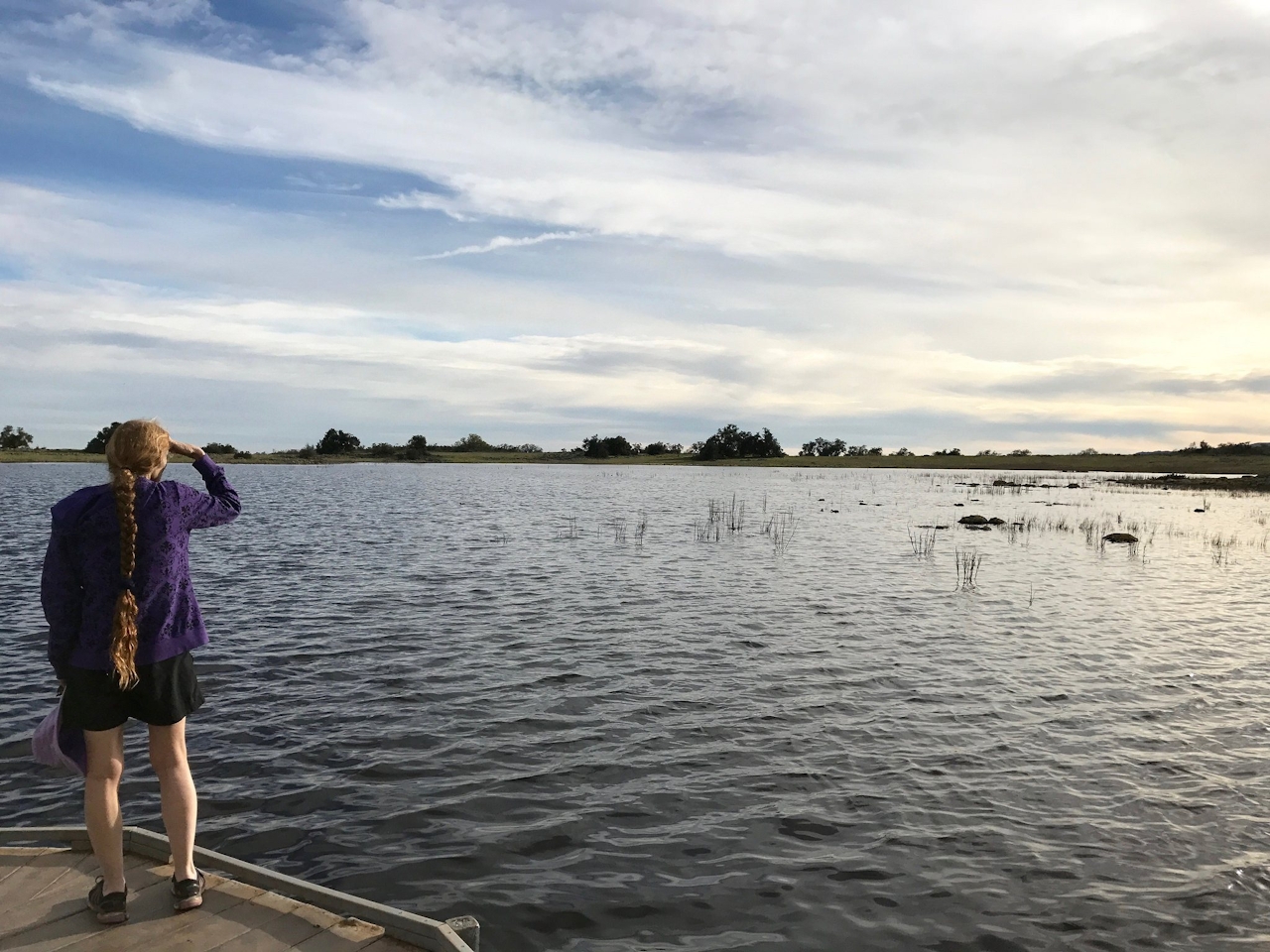
If you’re up for a longer hike (an additional 3.6 miles out and back), visit yet another rare California habitat—vernal pools that exist only from January through March in years of ample rainfall. The pools harbor fairy shrimp, tiny translucent creatures that can be viewed from an accessible boardwalk loop. After returning to the aforementioned junction and continuing west, you’ll soon reach a T-junction with the Hidden Valley dirt road. Veer left and take this path through the abundant green back to your car, leaving this timeless land that will not soon be forgotten.
GET YOUR GUINNESS: A nearby pub called The Shamrock provides not only a fresh pint of Guinness but also live Irish bands.
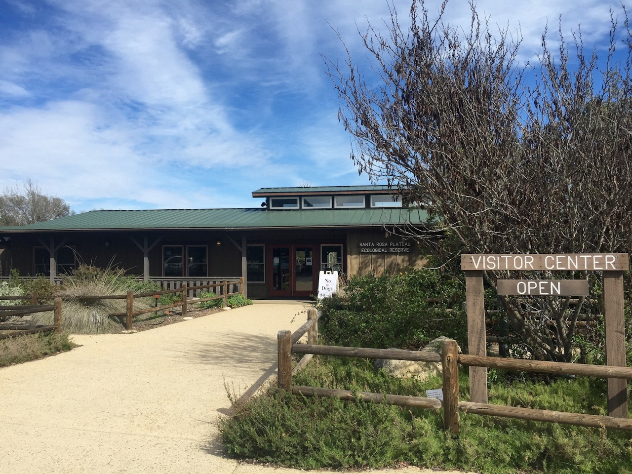
To visit the Santa Rosa Plateau Ecological Reserve, take I-15 to Clinton Keith Rd., exiting west. Continue on Clinton Keith for just over 5 miles, turning right on Tenaja Rd. The Hidden Valley Lot will be on your left in 0.7 mile. $4/adult entry fee. No dogs.







