Mott's Landing

Hiking the Mott Peak Loop at Briones Regional Park

Hike the Mott Peak Loop at Briones Regional Park

Nestled north of Lafayette and Orinda, the peaks of Briones Regional Park showcase sweeping views of Mount Diablo, San Pablo Bay, and the San Joaquin River. And you may just make friends with one of the hundreds of cows sharing the park’s trails. The 3.5-mile (round-trip) Abrigo Valley–Mott Peak Loop includes a hefty 924 feet of elevation gain, but the scenery is enough to keep you mooving.

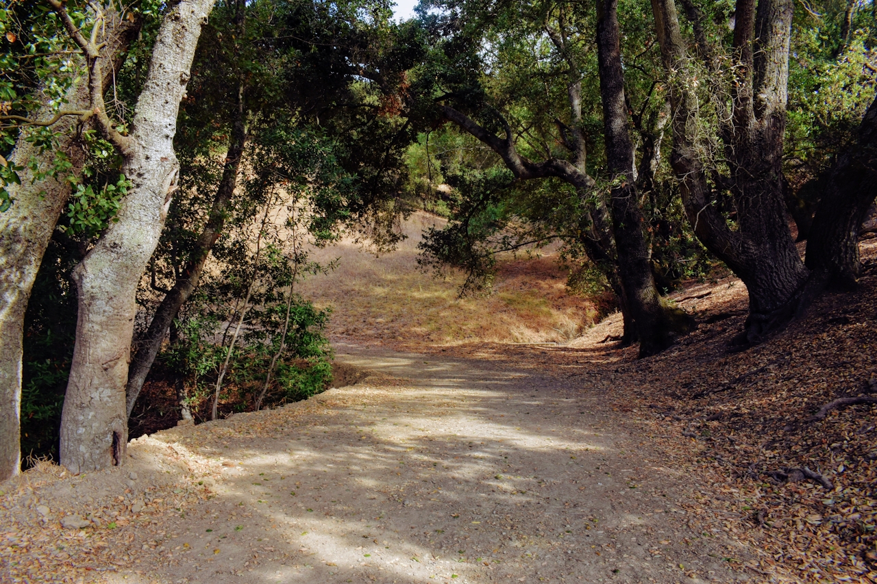
From the Bear Creek Road Staging Area take the Abrigo Valley Trail, just past Oak Grove Picnic Area and through the cattle gate. Walking along the trail conjures images of the Wild West, with stark golden hills galloping out in every direction and bushy oak outcroppings flecking the vast backdrop. At the Maud Whalen Campsite the Abrigo Valley Trail meets up with the Mott Peak Trail. Take Mott Peak up and through another cattle gate. The trail levels off and wraps around the hill before you reach its end point, and the views!
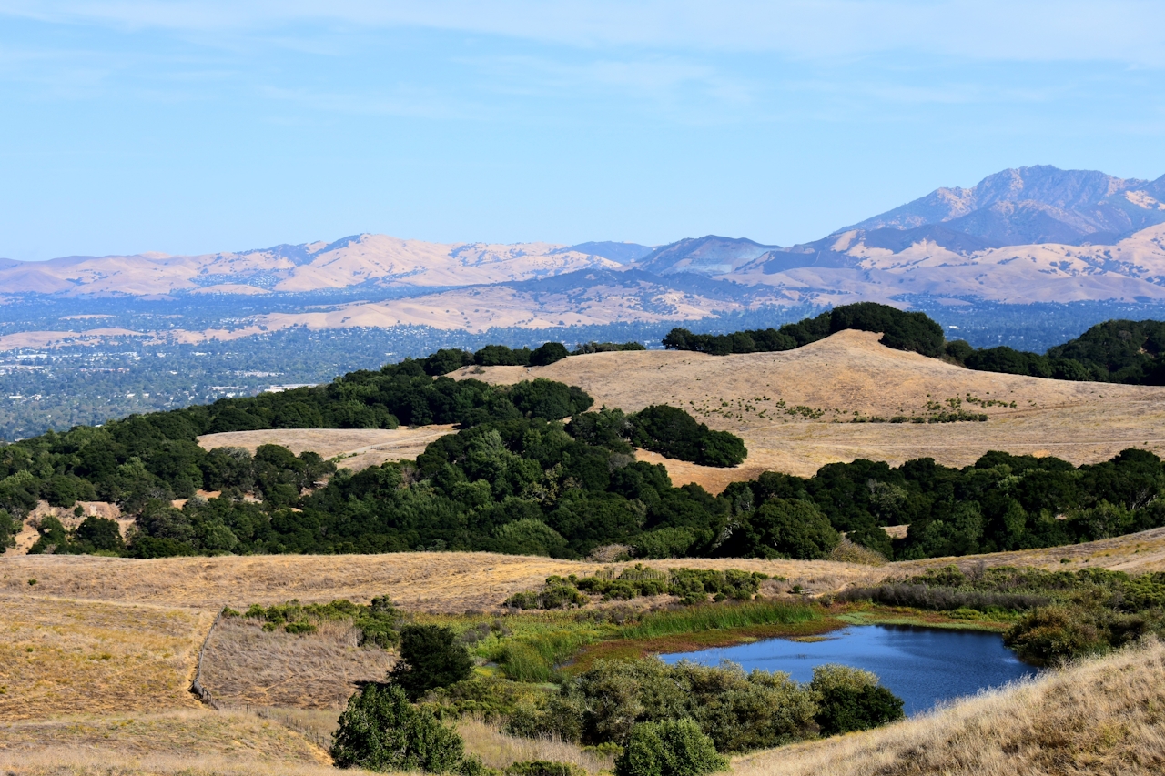
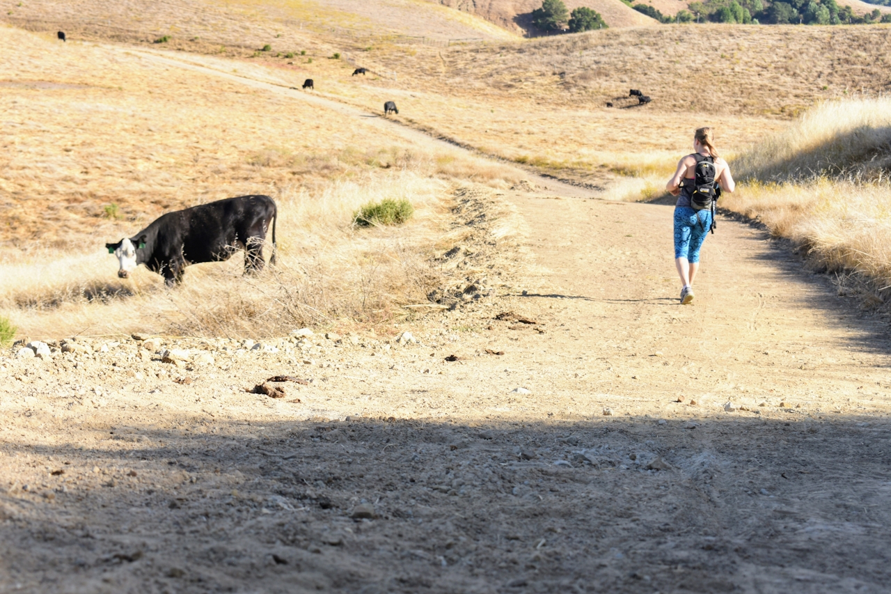
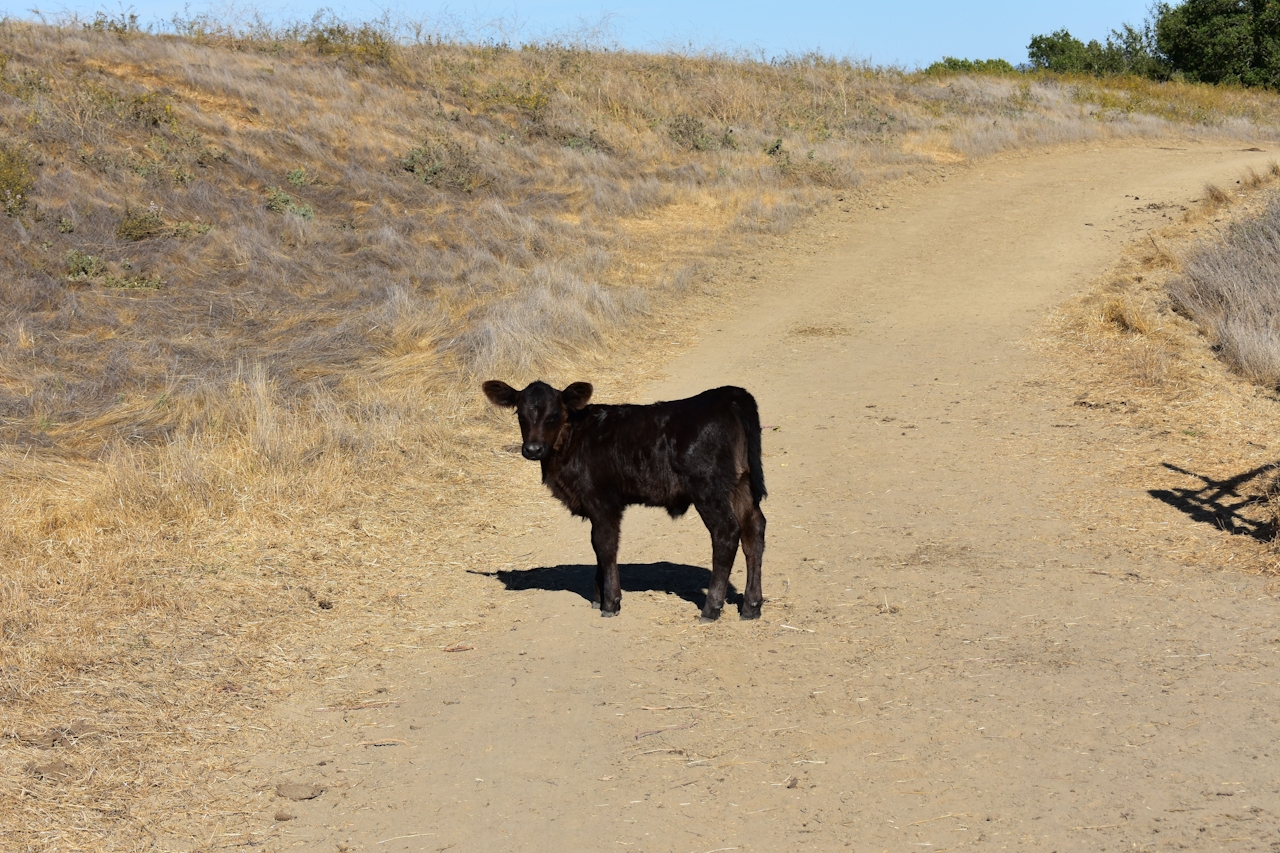
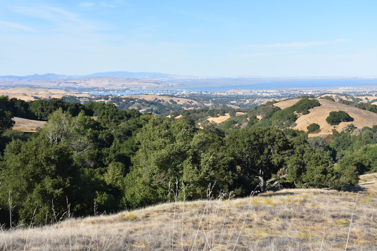
From up here, countryside and watershed extend to the Delta, with the Benicia-Martinez Bridge seen in the distance. Herds of cattle rest and stare (or glare) at you from every direction. Their little calves follow curiously nearby, while some of the elders swim in the lagoons and chomp on the trail’s bounty. From the Mott Peak Trail, take the Briones Crest Trail to the left across the ridge until it meets back with the Abrigo Valley Trail. It’s all downhill from here … with a whole lot of mooing as your soundtrack.

Park at the Bear Creek Staging Area. Parking fee is $3.00. Pick up a map at the staging area from a park attendant. Dog-friendly (but note there are a lot of cattle on the trail).

Trending Stories NorCal

View all Stories
  1. Napa Valley Paddle kayaker and paddle boarder on the Napa Valley river

    Napa's Wild Side

    It’s wine country’s Amazon. The gentle Napa River is an ecological—and recreational—delight. And Napa Valley Paddle sets you up for maximum enjoyment of this experience.

    View
  2. Been There, Dome That

    Surrounded by granite domes, craggy peaks, and miles of hiking trails, the High Sierra landscape of Tuolumne Meadows in Yosemite National Park is famous for good reason. For a truly grand view, take a short hike to bold—and bald (except for snow at times)—Lembert Dome.

    View
  3. Wapama Wows

    Hetch Hetchy can be overlooked in Yosemite National Park because of its more remote location and limited facilities. But this is where you’ll also find one of the best day hikes in the park: Wapama Falls.

    View
  4. Hike Mount Tamalpais into Muir Woods

    Muir Woods Through the Backdoor

    A backdoor entrance into Muir Woods? Hike a tranquil trail that starts in Mount Tamalpais State Park and quietly leads into Muir Woods, letting you avoid the busyness of the main parking area.

    View

Trending Stories SoCal

View all Stories
  1. Inn-spiration Point!

    For more than a century, people have been hiking or mountain biking to West Point Inn for good reason. Perched at 1,785 feet on the southern slope of Mount Tamalpais, the historic inn has sweeping views from the Marin Headlands to the San Francisco skyline.

    View
  2. A Thousand Steps to Paradise

    A picture is worth a thousand words, but is a gorgeous beach in Laguna worth a thousand steps? The answer is yes, though the question is moot, because it’s only 223 steep steps down to the 400-yard stretch of sand known as 1000 Steps Beach.

    View
  3. Sponsored

    Take the Exit to the Best of the San Francisco Peninsula

    The San Francisco Peninsula is proof that some of Northern California’s greatest surprises are hiding just off Highway 101. All you have to do is take the exit.

    View
  4. Hike to the Sierra Buttes Fire Lookout in the Lakes Basin

    Lookout for This View!

    Sierra Buttes Lookout, at a lofty 8,591 feet, is a memory maker for its pucker-worthy stairway to the tower’s balcony. It's a 5-mile (round-trip) hike to reach it. And the reward? Epic!

    View