Two-Canyon Empire

Hiking the Wiashal Trail Loop in Santa Rosa Plateau Ecological Reserve

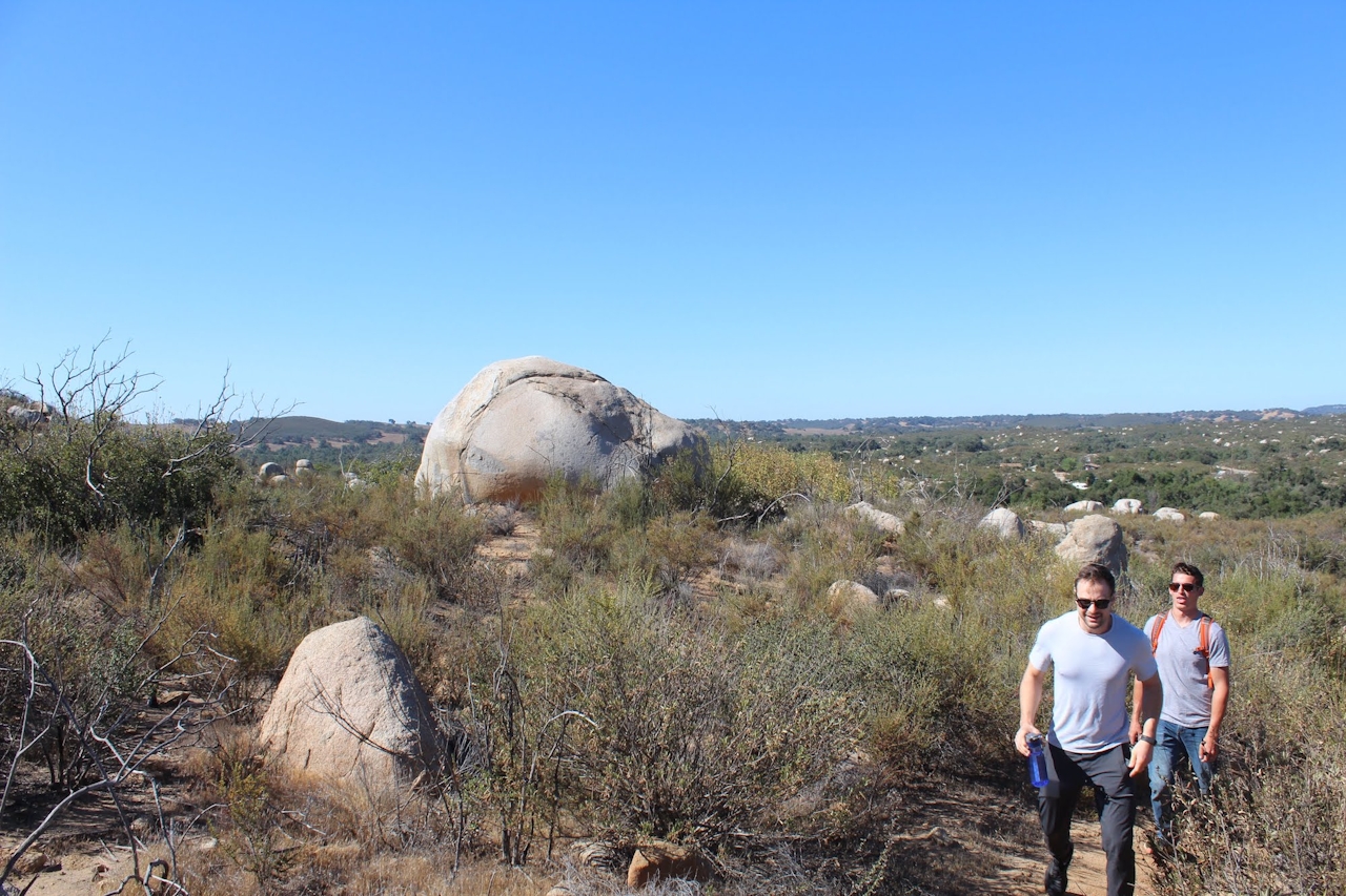
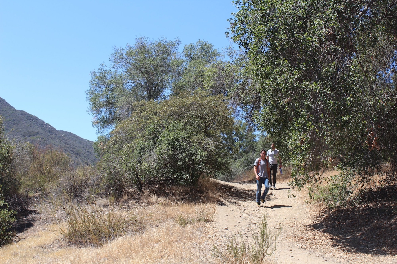
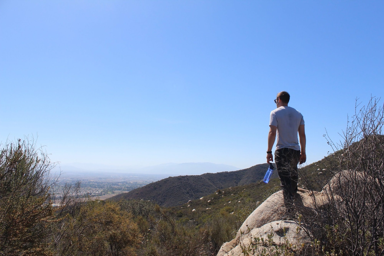
Let’s see ... a plateau that’s an extension of a mountain range, an undulating ridgeline, big boulders, and two canyons: The 6.6-mile Wiashal Trail is a great hike for ticking off a SoCal geology checklist! The trail follows a ridgeline atop a plateau that’s actually a southeastern extension of the Santa Ana Mountains—all to gain panoramic views of two canyons.

This lollipop loop winds up and down multiple summits in the Santa Rosa Plateau Ecological Reserve in Murietta for an elevation gain of close to 1,000 feet. It’s those ups and downs that garner you the dramatic views of Slaughterhouse and Cole Canyons down below. And the view of the Santa Anas isn’t so bad either!
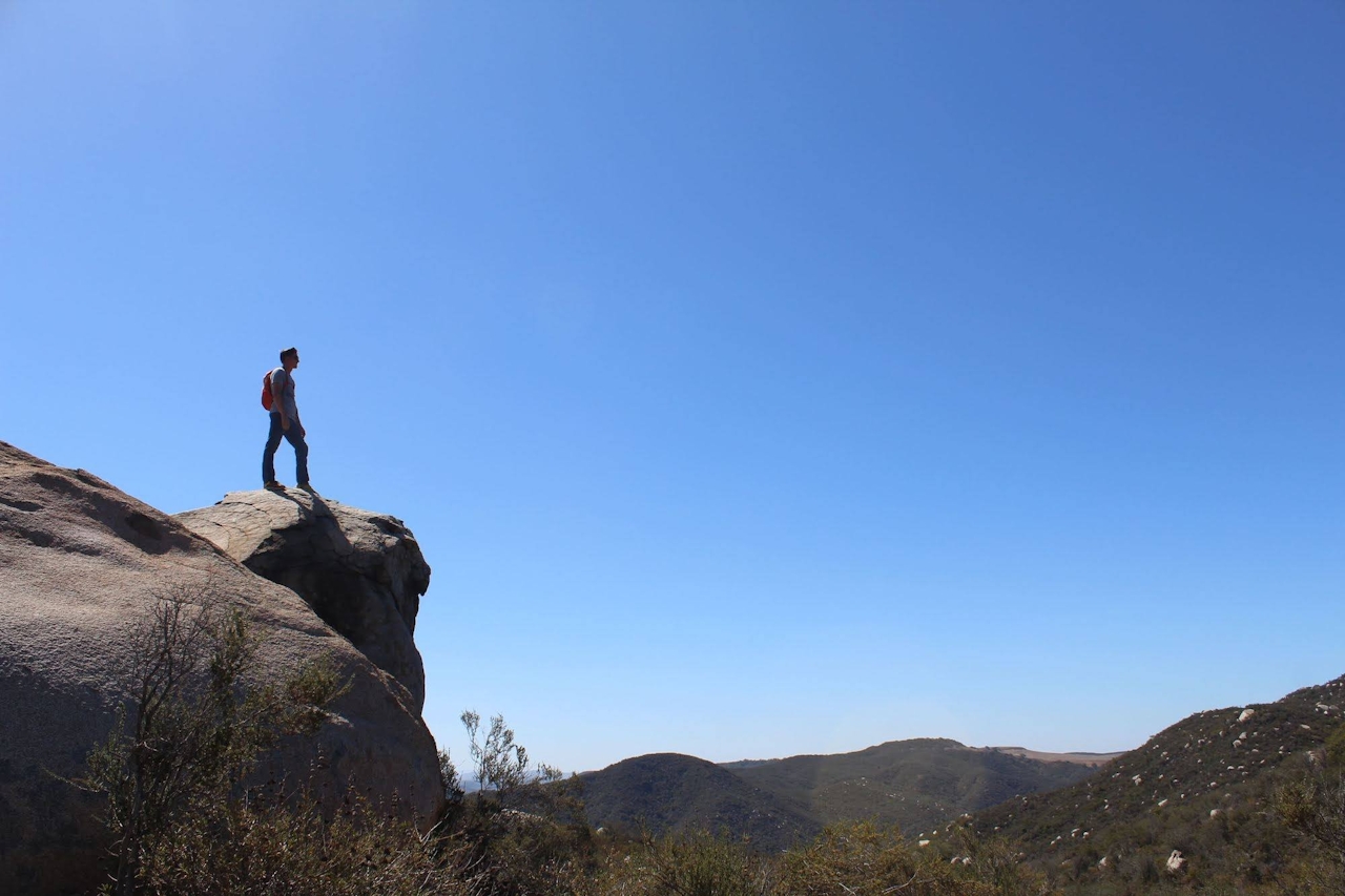
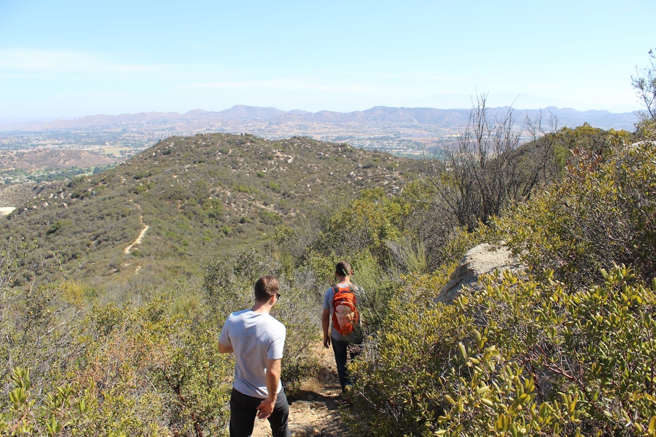
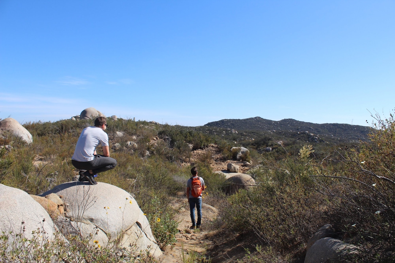
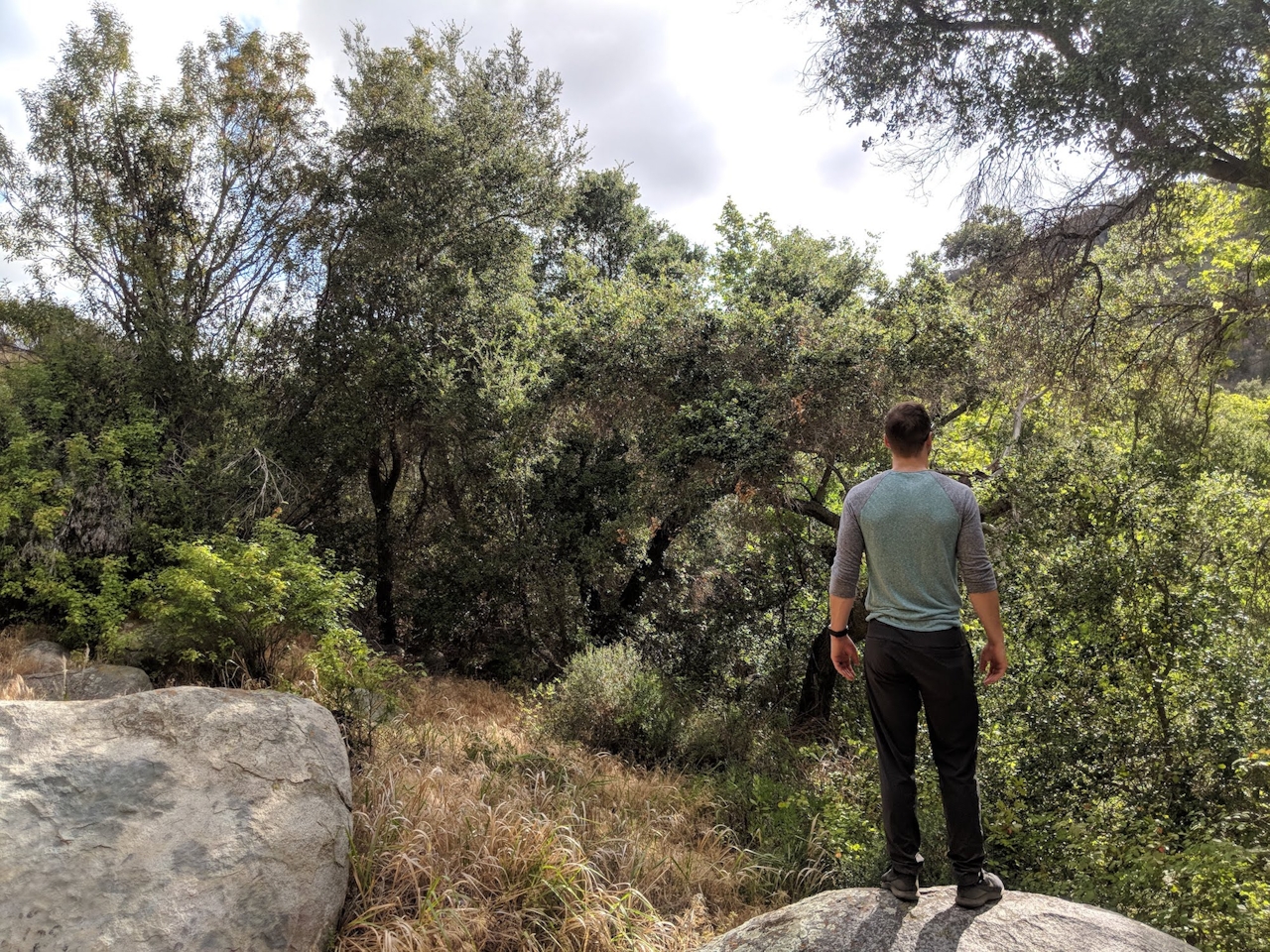
Start your trek at the reserve visitor center. You’ll first get a lowland experience as you hike through dramatic Englemann oak woodlands. Watch for golden star and false indigo wildflowers along the way. Then the work begins as you hike the reserve’s toughest trail. You’ll ascend the spine of the hills, passing through dramatic boulder formations. As the canyon views unfold, you can see most of the reserve, as well as the Santa Ana Mountains. Be sure to gaze skyward as well. You might catch a look at a red-tailed hawk, who most assuredly has already seen you.

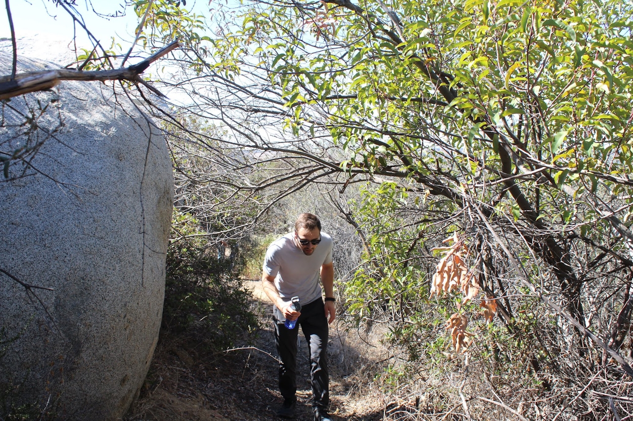
TIP: Large portions of the trail are lined by dense brush on either side, so long pants are recommended.

To visit the Santa Rosa Plateau Ecological Reserve, take I-15 to Clinton Keith Rd. in Murietta, exiting west. Continue on Clinton Keith for just over 5 miles, turning right on Tenaja Rd. The parking lot will be on your left in 0.7 mile. $4/adult entry fee. No dogs.

Trending Stories NorCal

View all Stories
  1. Purely Purisima

    Take a relaxing hike on the lower section of Purisiima Creek Trail in Purisima Creek Redwoods Open Space Preserve.

    View
  2. Muir Woods Night Tour

    Thousands of people flock to Muir Woods every year, yet only a few see it at night, when this beloved park is experienced in a whole new light. The Muir Woods Night Tour happens on the last Friday of every month through October.

    View
  3. Slide Ranch Marin

    Slide On Over

    Marin's Slide Ranch has a popular neighbor in the Muir Beach Overlook. But don’t overlook Slide! This open-to-the-public nonprofit organization sits on 134 acres of coastline and is filled with animals, Pacific scenery, and an adjacent hiking trail.

    View
  4. Sponsored

    Take the Exit to the Best of the San Francisco Peninsula

    The San Francisco Peninsula is proof that some of Northern California’s greatest surprises are hiding just off Highway 101. All you have to do is take the exit.

    View

Trending Stories SoCal

View all Stories
  1. Been There, Dome That

    Surrounded by granite domes, craggy peaks, and miles of hiking trails, the High Sierra landscape of Tuolumne Meadows in Yosemite National Park is famous for good reason. For a truly grand view, take a short hike to bold—and bald (except for snow at times)—Lembert Dome.

    View
  2. Lookout Ahead!

    A 3.7-mile loop hike to Boucher Hill Fire Lookout in Palomar Mountain State Park reminds us just how stunningly beautiful are the mountains of this remote, lightly visited portion of northern San Diego County.

    View
  3. Wapama Wows

    Hetch Hetchy can be overlooked in Yosemite National Park because of its more remote location and limited facilities. But this is where you’ll also find one of the best day hikes in the park: Wapama Falls.

    View
  4. Strawberry Peak Lookout Hike

    Strawberry Sunday

    The 2.5-mile (round-trip) lollipop loop climb to the Strawberry Peak Fire Lookout near the town of Lake Arrowhead dishes up some delicious views.

    View