Sunset in a Pinch

Hiking to a sunset view in Claremont Canyon in the East Bay

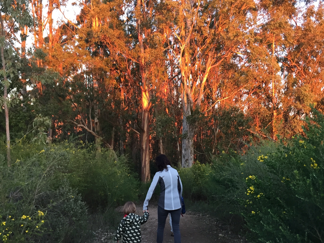
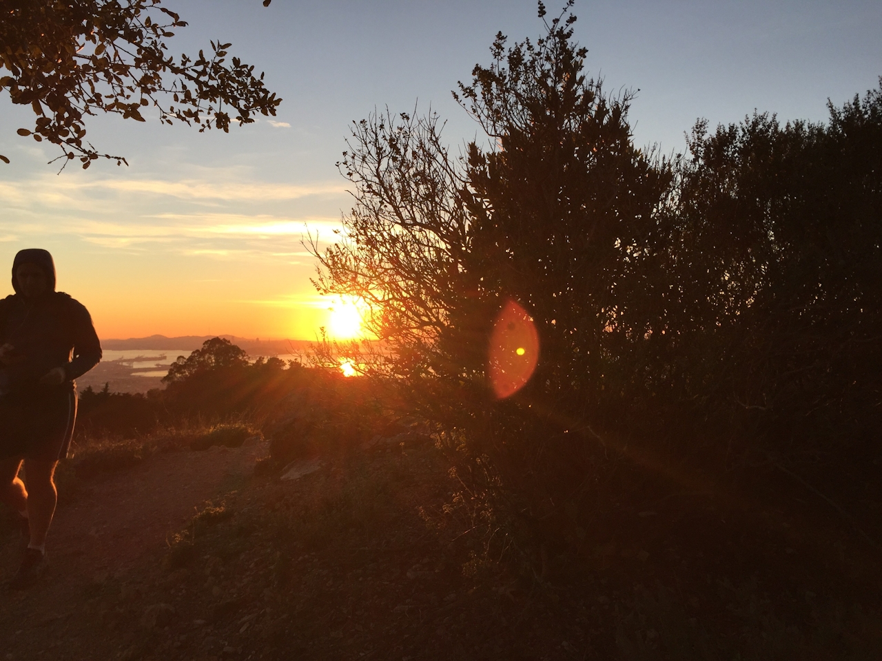
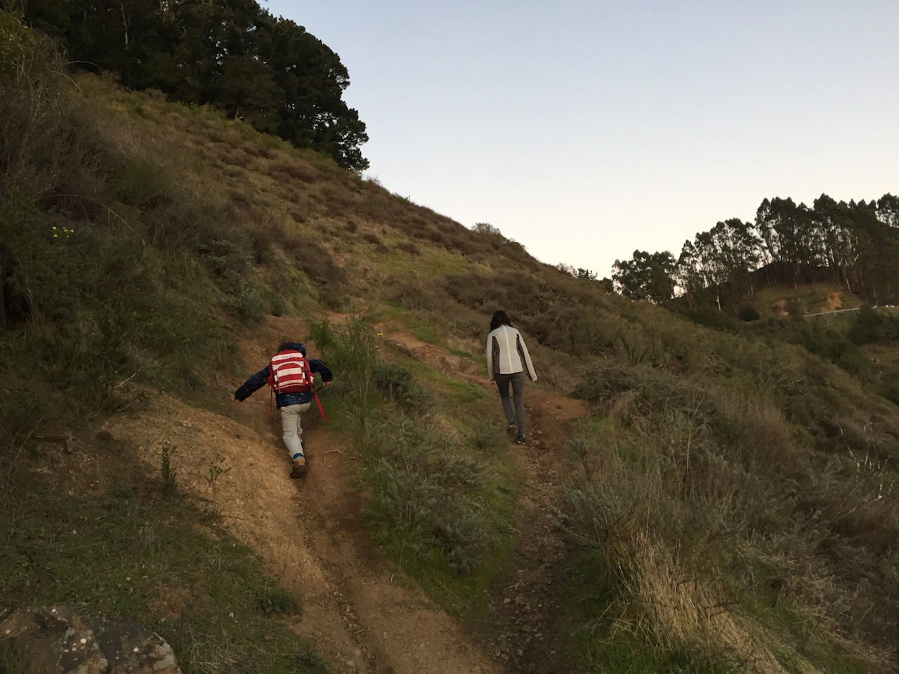
Sometimes you’ve only got minutes to get to a high point in time for sunset. So keep it simple on a short hike that delivers a sunset punch within twenty minutes. The East Bay’s Claremont Canyon has a 1.5-mile out-and-back hike with an aerie perch for watching the sun lower and sink behind the Golden Gate Bridge and San Francisco, with the far-off Farallon Islands fading out in the distance. Begin by traversing Side Hill Trail, which takes you on a ramble above Claremont Canyon. Before sundown, dramatic shadows fill in the terrain to the south, thick with eucalyptus trees. When you come to a fire road, turn left. (Remember this unmarked junction, when you make your way back.)

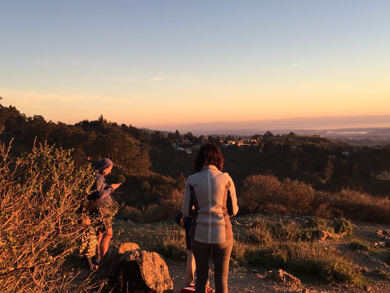
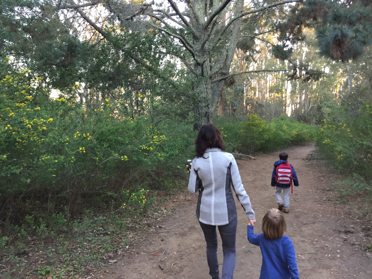
For a few minutes, you’ll be on East-West Trail, flanked by soaring trees. Shortly after passing an intersecting trail, head up a hill and then immediately veer right on an unmarked path, which leads to the viewpoint. Relax and enjoy the sunset tableau over the sea and San Francisco, with Berkeley right at your feet.
From Hwy. 24, take the Fish Ranch Rd. exit in Orinda (the first exit to the east of the Caldecott Tunnel). Follow Fish Ranch Rd. to the four-way stop sign, then turn right on Grizzly Peak Blvd. In just under a mile (before the entrance to Tilden Regional Park) on your right side you’ll see a fire-road gate, near which you can park your car. The small, unmarked trailhead is immediately across the road. (The area is known as Scotts Peak Trailhead, and can be found on Google Maps.) Dog-friendly!

Trending Stories NorCal

View all Stories
  1. Woman with her arms outstretched to the rolling hills scenery while on a rock outcrop at Barnabe Peak in Samuel P Taylor Sate Park in Marin

    Barnabe Bonanza

    Sure, there are higher mountains in Marin (Mount Tam) and easier ascents (Mount Burdell), but is there a more expansive North Bay view? Barnabe Peak in Samuel P. Taylor State Park offers a glorious panorama including Mount Tam, Mount Diablo, and Mount St. Helena.

    View
  2. Hiker on the SCA trail in Marin Headlands with view of the Golden Gate Bridge

    Headlands Over Heels

    People come from all over the world to get a glimpse of the Golden Gate Bridge. Get a dramatic and novel view of the bridge without all the people on this moderate 6-mile hike in the Marin Headlands.

    View
  3. woman hiking Mt Tam east peak
    Sponsored

    Marquee Marin

    There may be no better place to find the best in coastal outdoors than the Marin Headlands. Bluff-side hiking trails, beautiful sandy beaches, big Pacific views, an iconic lighthouse, and unique lore in the area’s historic batteries are all part of the action here.

    View

Trending Stories SoCal

View all Stories
  1. Woman hiking the San Onofre Bluffs Loop Trail to San Onofre State Beach in San Diego County

    Bluffing Good!

    Lovely coastline, beautiful beaches, unique geological history, and picturesque sandstone cliffs with limited foot traffic in San Diego County? Head to San Onofre State Beach and the 5-mile San Onofre Bluffs Loop Trail.

    View
  2. Can We Get a Whoop Whoop!

    City, mountain, and ocean views all in one hike? Whoop whoop! It’s no surprise the the Kenter Fire Road and Whoop-de-Doos Trail (a combo of fire road and singletrack) is a favorite among local mountain bikers and hikers alike.

    View
  3. The Big Chill

    In LA, finding a place to chill can be the ultimate flex. So flex, in Franklin Canyon! This unexpected oasis has plenty of shade, cool lake breezes, and ample picnicking spots. Enjoy it on an easy-going 1-mile stroll along its reservoir and duck pond.

    View