Heavenly Hike

Hiking to Angel's Point in Elysian Park Los Angeles

Hike Elysian Park in Los Angeles

Getting lost in LA’s oldest park can be a totally viewtiful experience: You just have to know where you’re going! Hike to Angel’s Point in Elysian Park for one of the best panoramas of the downtown skyline, and a nice view of Dodger Stadium, unless of course you're a Giants fan.
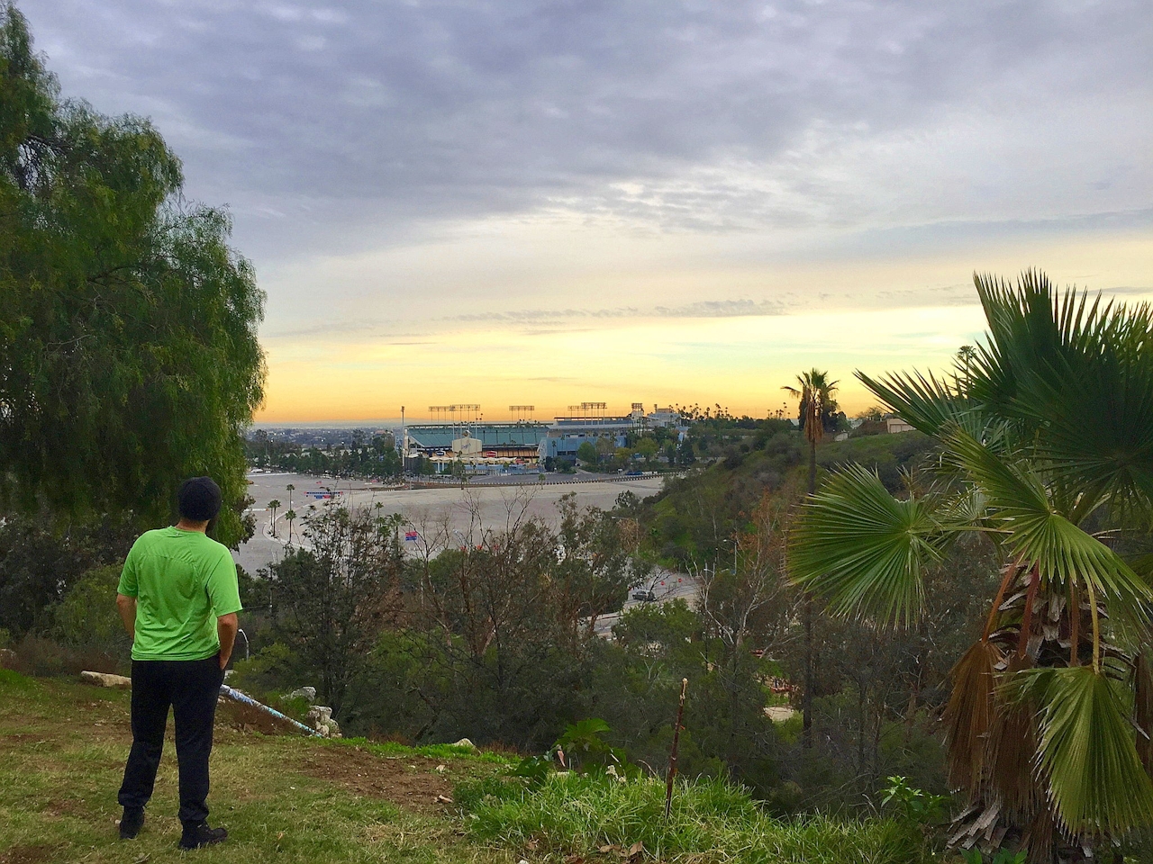
Hike Elysian Park in Los Angeles

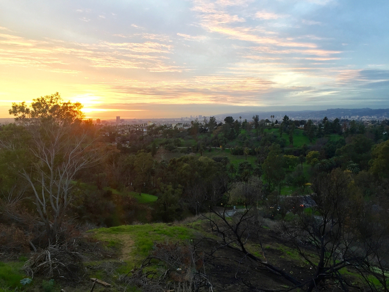
This 3-mile (round-trip) adventure features a dragon-painted rock formation early on (within a quarter of a mile) followed by truly epic views of the San Gabriels to the north, along with one of the best vantages of the very familiar, oft dreaded I-5 (best appreciated from a distance, on a hike!)
undefined

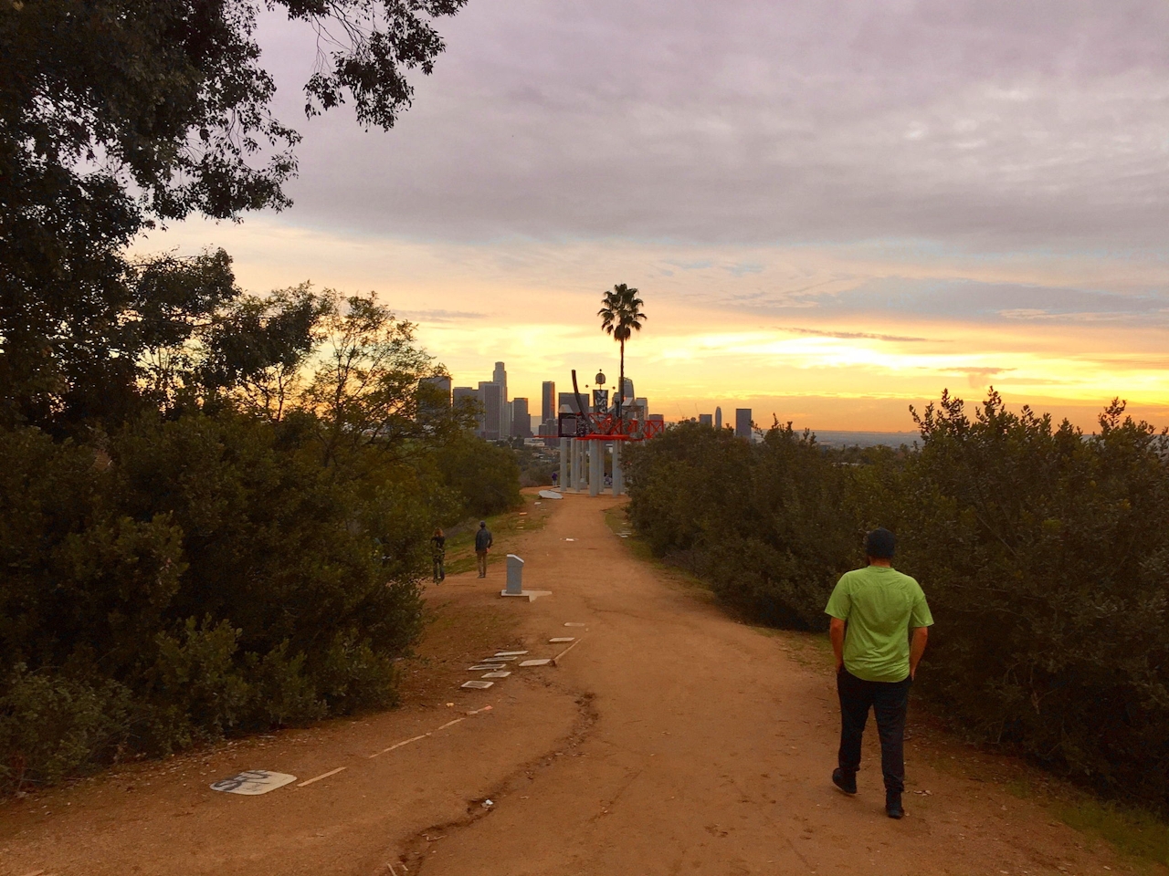
After a mile of ups and downs along the ridge, follow the trail up and over a damaged wall that parallels the Elysian Park soccer fields. Cross the fields to Park Road and head north for the first terrific view of the skyline. At Angel’s Point Road go left and follow it to a wooden sign indicating you are at Angel’s Point. Follow a short path from here to an impressive abstract art installation by Peter Shire that reimagines the city as seen from this vantage. From here LA’s skyline towers to the clouds and glimmers in late afternoon’s low-sitting sun. See if you can spot landmarks such as the Hollywood Sign amidst the vast city sprawl. Take Angel’s Point Road north back to the trailhead.
To get to the parking area and trailhead, take the Stadium Way exit off of the I-5, heading south until the intersection of Elysian Park Dr., turning right and parking immediately. Cross Stadium Way to the intersection with Angel’s Point Rd. and take the fire road on the left to begin your trek. Dog-friendly!

Trending Stories NorCal

View all Stories
  1. Woman with her arms outstretched to the rolling hills scenery while on a rock outcrop at Barnabe Peak in Samuel P Taylor Sate Park in Marin

    Barnabe Bonanza

    Sure, there are higher mountains in Marin (Mount Tam) and easier ascents (Mount Burdell), but is there a more expansive North Bay view? Barnabe Peak in Samuel P. Taylor State Park offers a glorious panorama including Mount Tam, Mount Diablo, and Mount St. Helena.

    View
  2. Tamtastic Sunset

    Sure, the East Peak of Mount Tam is absolutely spectacular at sunset, but some magic-hour enthusiasts head to a nearby spot, Trojan Point, for a little more personal space in their panoramic viewings.

    View
  3. Hiker on the SCA trail in Marin Headlands with view of the Golden Gate Bridge

    Headlands Over Heels

    People come from all over the world to get a glimpse of the Golden Gate Bridge. Get a dramatic and novel view of the bridge without all the people on this moderate 6-mile hike in the Marin Headlands.

    View

Trending Stories SoCal

View all Stories
  1. Woman hiking the San Onofre Bluffs Loop Trail to San Onofre State Beach in San Diego County

    Bluffing Good!

    Lovely coastline, beautiful beaches, unique geological history, and picturesque sandstone cliffs with limited foot traffic in San Diego County? Head to San Onofre State Beach and the 5-mile San Onofre Bluffs Loop Trail.

    View
  2. Can We Get a Whoop Whoop!

    City, mountain, and ocean views all in one hike? Whoop whoop! It’s no surprise the the Kenter Fire Road and Whoop-de-Doos Trail (a combo of fire road and singletrack) is a favorite among local mountain bikers and hikers alike.

    View
  3. The Big Chill

    In LA, finding a place to chill can be the ultimate flex. So flex, in Franklin Canyon! This unexpected oasis has plenty of shade, cool lake breezes, and ample picnicking spots. Enjoy it on an easy-going 1-mile stroll along its reservoir and duck pond.

    View





