Big Horn Full of Gold
Hiking to Big Horn Mine in the Angeles National Forest


You don’t have to travel to Gold Country to strike gold in California! When it comes to old mines, SoCal has some gems. Big Horn Mine in the San Gabriels is a perfect example. You may not strike it rich here, but you’ll have a great adventure and some beautiful photo ops along the way.
To reach the extensive remains of the old gold mine, park in the large lot at Vincent Gap and follow the sign to the Mine Gulch Trail. It begins as a well-maintained fire road until you reach a fork, where you should bear right for the two-mile (one-way) hike. As you ascend the trail, you’ll enjoy some breathtaking views of the East Fork Gorge, Mount Baldy, and Iron Mountain while you take in the crisp, cedar-scented air. You’ll hear woodpeckers at work in the towering trees, and see vultures and hawks soaring high in the sky. And, yes, Nelson’s bighorn sheep live in these mountains, but don’t count on a sighting.


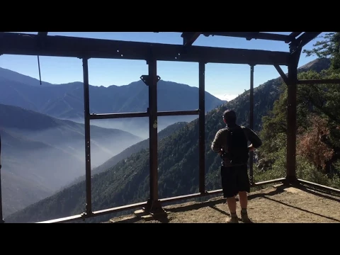
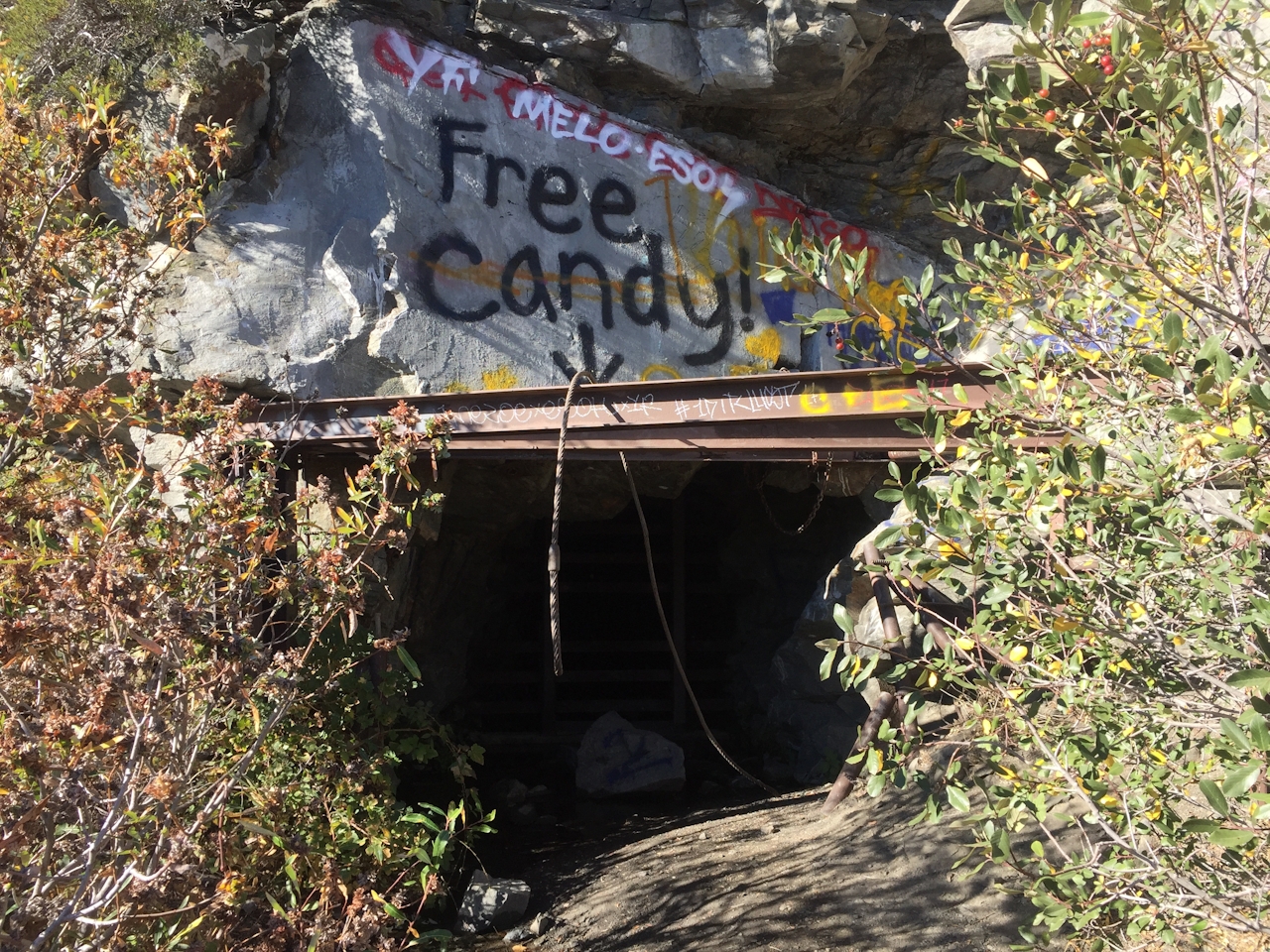
After about a mile, you’ll reach the first mine tunnel. Graffiti marks the abandoned shaft with one prominent, comical scrawl reading “Free Candy!” Continue along a small ridge and follow it to the right, until the sprawling remains of Big Horn Mine—affixed to the south face of 9,406-foot Mount Baden-Powell—come into view.

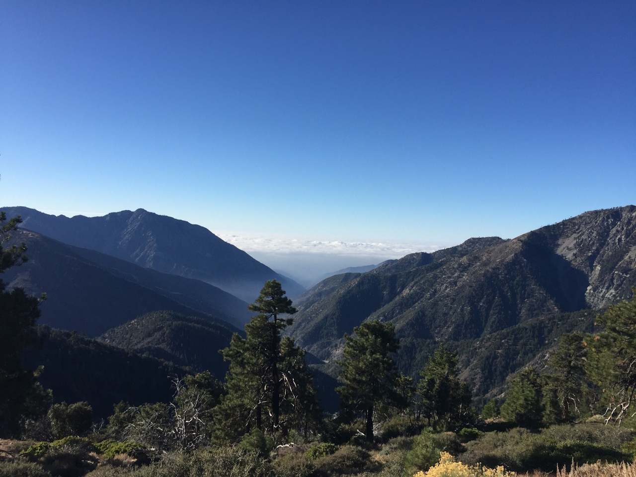
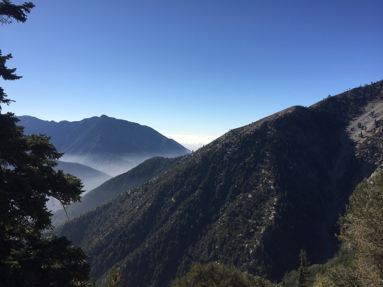
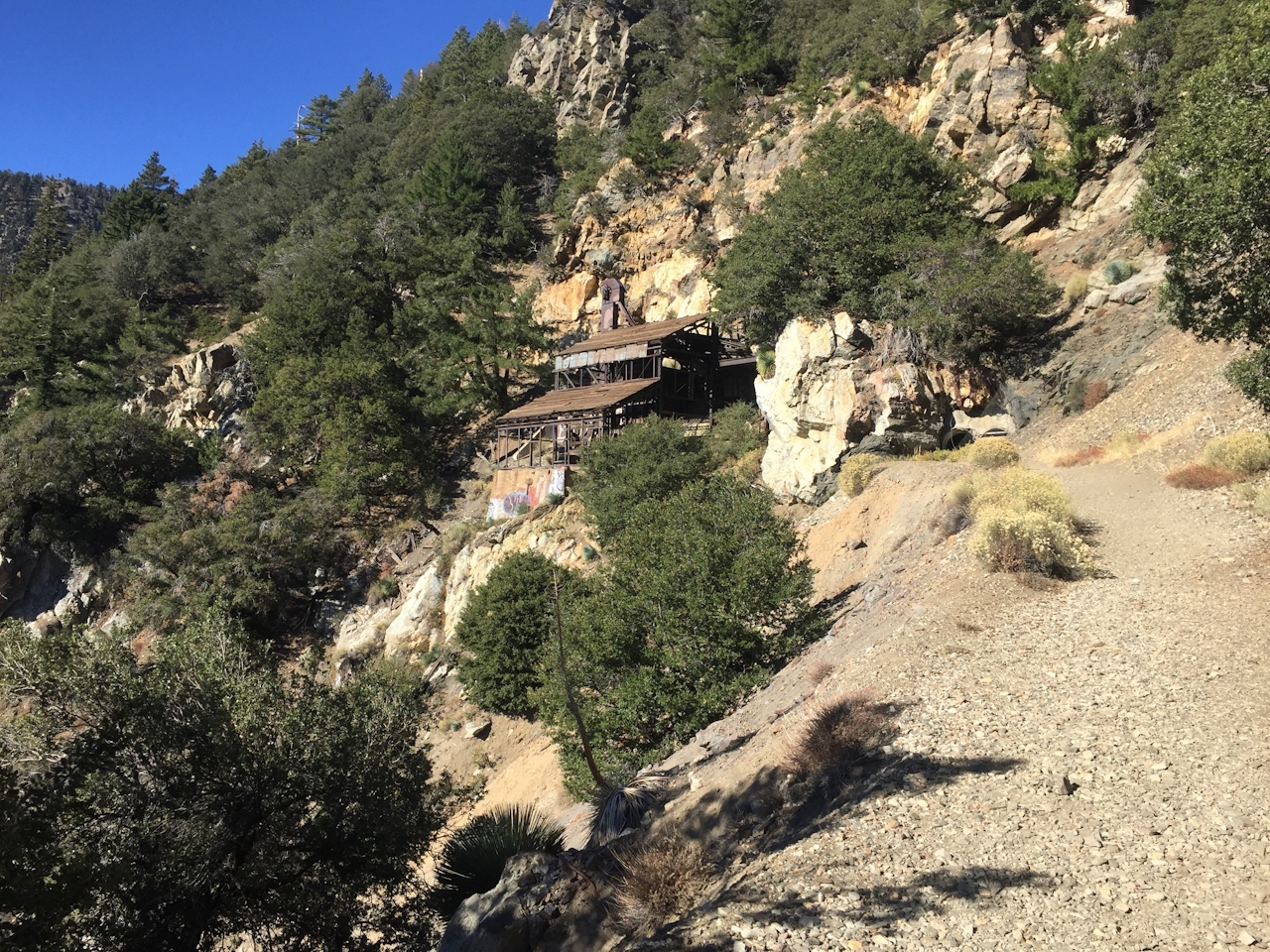
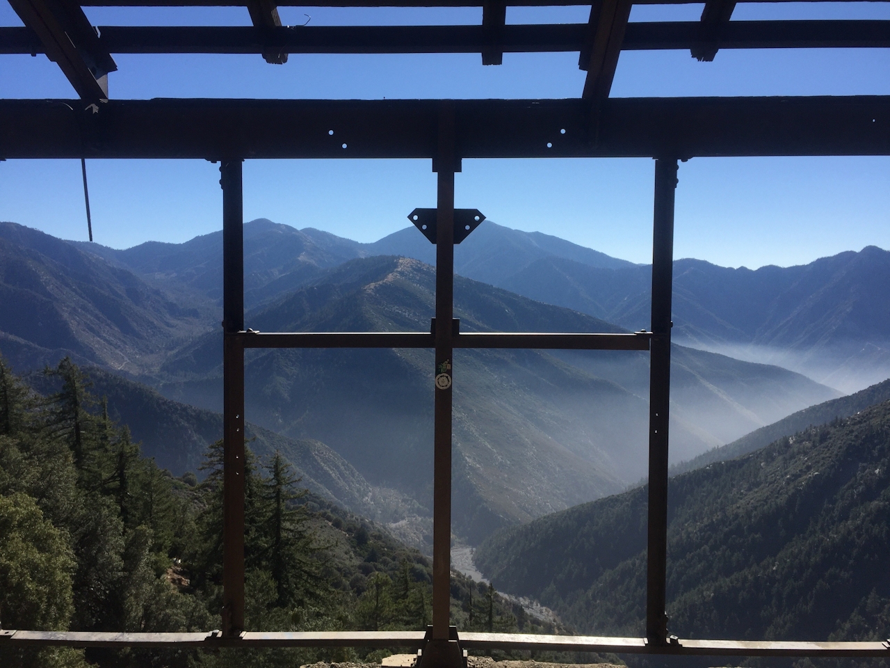
Big Horn was first mined in the late 19th century, but its peak was the 1930s, which is why the main structure is still fairly intact. Bent iron and crushed wood litter the area as well. You’re welcome to explore, but stay safe and smart. No signs bar you from entering the mine tunnel itself, but a gate delivers the message: keep out. Revel in the history and enjoy the great views before retracing your steps back to the trailhead.
Take Angeles Crest Hwy. (CA-2) 9 miles west from Wrightwood or 52 miles east from La Cañada and park in the large, signed lot at Vincent Gap. You’ll need to display a Forest Service Adventure Pass, which you can obtain here. Dog-friendly!







