Take the Plunge!

Hiking to Cedar Creek Falls in San Diego County

Who knew that sleepy Ramona is home to an 80-foot waterfall complete with a deep, frigid pool in the midst of a lush oasis? Reach Cedar Creek Falls in Cleveland National Forest by way of a beautiful 6-mile (round-trip) out-and-back hike that is brilliant with wildflower color right now thanks to California’s wet winter.

A well-marked trail leads down through the hilly chaparral landscape into the valley of Cedar Creek. Keep your eyes open for Mediterranean geckos bathing in the sun, and your ears open for the possibility of rattlesnakes hiding in the bushes. As you continue your descent  into the valley (you’ll drop 1,102 feet), enjoy views of the peaks above, including Eagle Peak, which towers more than 3,200 feet above sea level.

Once you hit the valley floor, you’ll make three easy stream crossings to arrive at the falls. Peak visitation hours are during the heat of the day (when the frigid water is most welcome), so if you want a more private experience, go early in the morning or late in the afternoon. Hikers can slide into the water at the pool’s edge, while braver souls are known to leap from an overhanging cliff—four ascending heights progressively test their mettle. After you’ve dried off, simply turn back and hike up out of the canyon. By the time you get back on a warm day, you’ll wish the waterfall were at the top of the trail, not the bottom. Well, you can always go back down!

From the north: Take CA-78 south, which becomes 10th St. in the town of Ramona. At the intersection with Main St., continue south on 10th St., which in turn becomes San Vicente Rd. Continue 6.5 miles and turn left on Ramona Oaks Rd. After 3 miles, turn right on Thornbush Rd., which dead-ends at the parking lot after 0.4 mile. You’ll need to purchase a permit ($6) in advance, which you can do here. You will not be allowed to hike without a permit, which you must show to the ranger at the ranger tent. Dog-friendly! But bring a lot of water for both of you to combat the inland heat._

From the south: Take CA-67 north to 10th St. and turn right (10th St. soon becomes San Vicente Rd.). Continue 6.5 miles to Ramona Oaks Rd. and turn left. After 3 miles, turn right on Thornbush Rd., which dead-ends at the parking lot after 0.4 mile. You’ll need to purchase a permit ($6) in advance, which you can do here. You will not be allowed to hike without a permit, which you must show to the ranger at the ranger tent. Dog-friendly! But bring a lot of water for both of you to combat the inland heat.

Trending Stories NorCal

View all Stories
  1. Bear Hug

    This 5.5-mile loop through Coyote Lake-Harvey Bear Ranch County Park explores one of the newest segments of the acclaimed Bay Area Ridge Trail, one redolent with trees ranging from madrone and manzanita to buckeye and blue elderberry (with a bubbly post-hike bonus).

    View
  2. Field of Light at Sensorio in Paso Robles

    Light This Way

    Hidden in the bucolic hills of Paso Robles lies one of the greatest light shows on earth. The lighted art exhibition, Sensorio, is as if the rainbow magic of the aurora borealis was plucked from the sky and planted in the fields.

    View
  3. Bikers and walkers on the Bay Area Ridge Trail with the Golden Gate Bridge behind them

    National Park City Walk

    See San Francisco the way locals do by hiking the Presidio, a national park right in the city! Wooded trails, secluded beaches, and epic views of the Golden Gate Bridge feature on this 5.5-mile out-and-back on the Bay Area Ridge Trail. It’s a lovely slice of the City by the Bay.

    View
  4. Bucks Up!

    Come on in, the water is beautiful. Whether you like swimming, kayaking, stand-up paddling, or heading out on a bigger boat, Bucks Lake is a high mountain haven that’s easy to access, blissfully uncrowded, and surrounded by sandy beaches, picnic areas, pines, and aspens.

    View

Trending Stories SoCal

View all Stories
  1. Sponsored

    Tram to Cool Treks

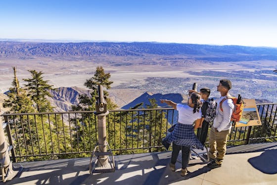
    Elevate your fun, getting whisked from palm trees to alpine wilderness on the world’s largest rotating tramcar. The Palm Springs Aerial Tramway transports you up and away on a 2.5-mile scenic route from the desert floor to the refreshing wilderness of Mount San Jacinto State Park.

    View
  2. Coming Up Roses

    Looking to spice up your hiking life? Give your partner a rose—Mount Rose! The 10-mile out-and-back peak hike goes up to one of the grandest views in all of Lake Tahoe. Get ready f

    View
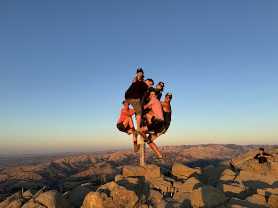
  3. A group of people clamored around the summit marker at Mission Peak in the Bay Area

    Your Mission Is Less Crowded

    Mission Peak is one of the Bay Area’s most popular mountains, with many hikers climbing every weekend. Skip the crowds with this 6-mile loop up the less-traveled southern route.

    View
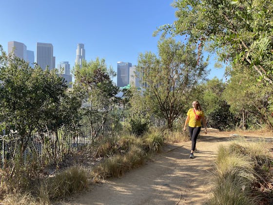
  4. Vista Hermosa Park in Echo Park Los Angeles

    Vista Hermosa, Echo That!

    Tucked in Echo Park, the little-known gem of Vista Hermosa Natural Park feels worlds away thanks to its serene beauty and thoughtful design. At 11.5 acres there’s still plenty to explore. And it's got a premier view of the iconic Los Angeles skyline.

    View