Heavenly Devil's Hole
Hiking to Devil's Hole in the San Bernardino National Forest


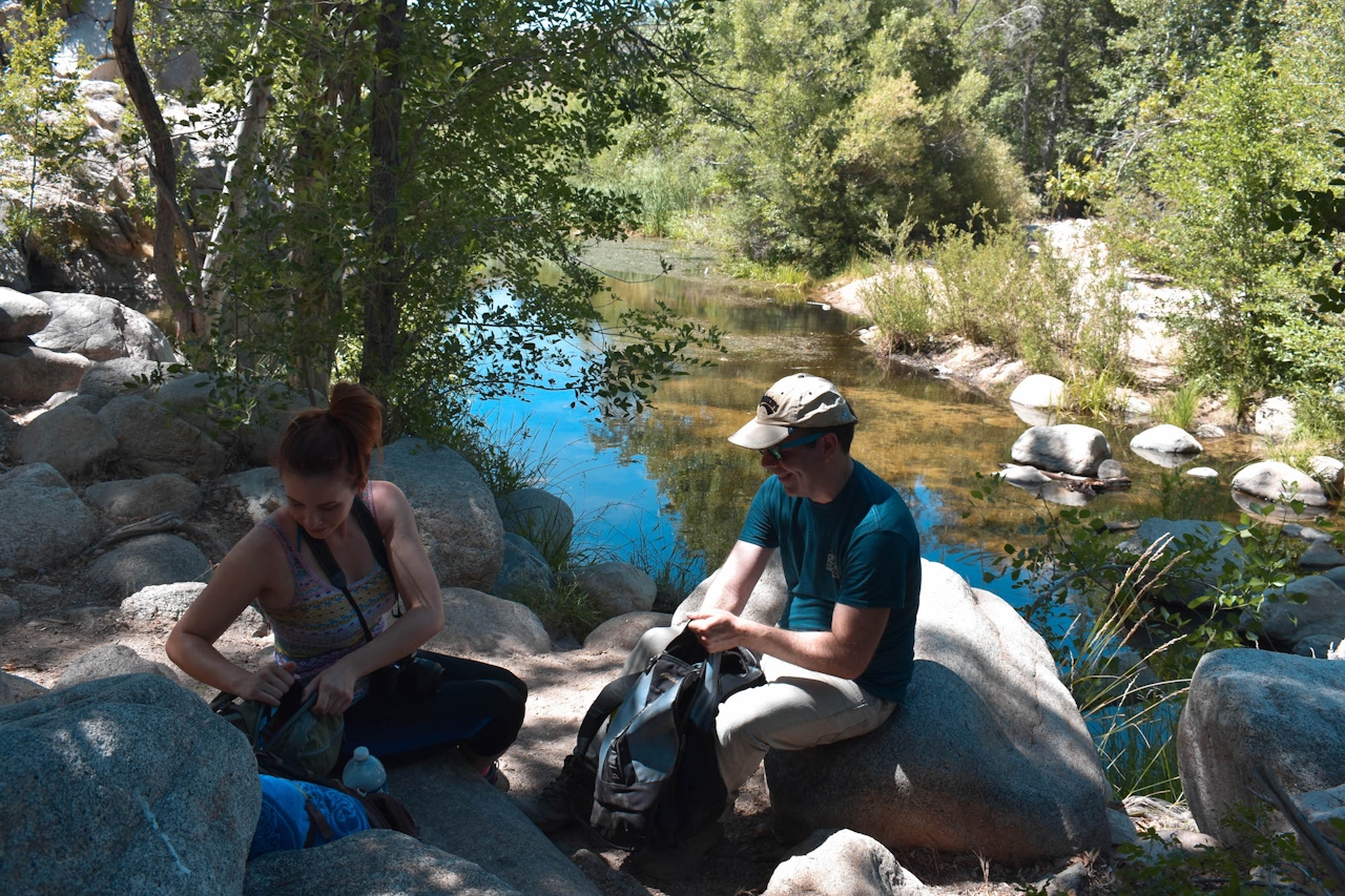
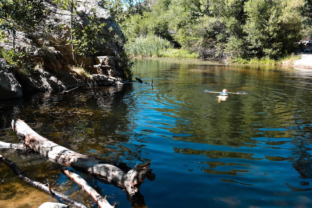
Recipe for the perfect swimming hole: cool pool in a mountain stream, remote mountain setting, great approach hike. Just add a few friends and a sunny summer day, then hike, stir, and splash! You’re at Devil’s Hole in the San Bernardino Mountains.
From Splinters Cabin Trailhead in the San Bernardino National Forest, the trail to Devil’s Hole follows a 3-mile, gradually sloping stretch of the Pacific Crest Trail, which twists and turns through Deep Creek Canyon, always hugging the hillside, with views of the creek and canyon below.
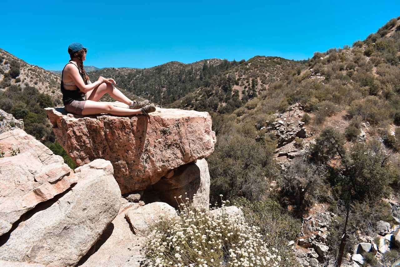
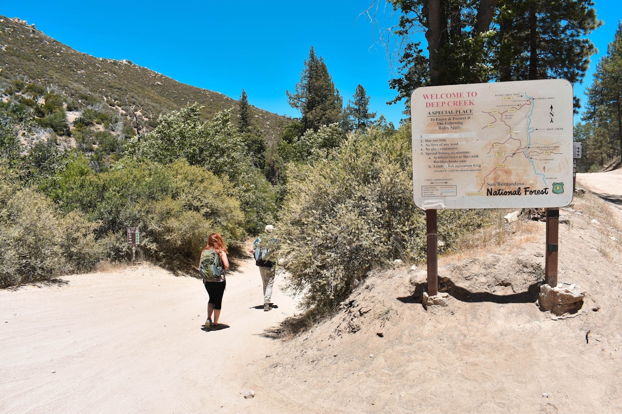
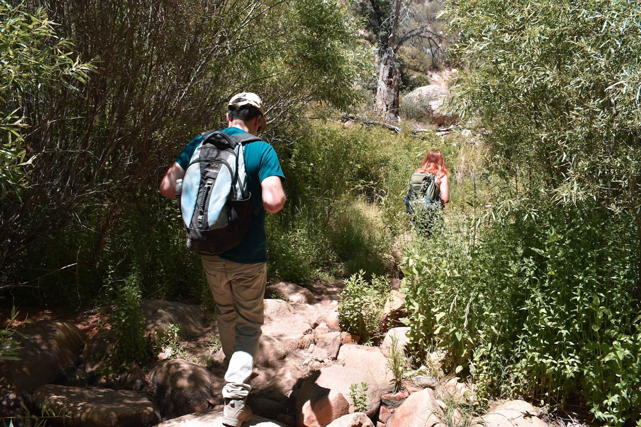
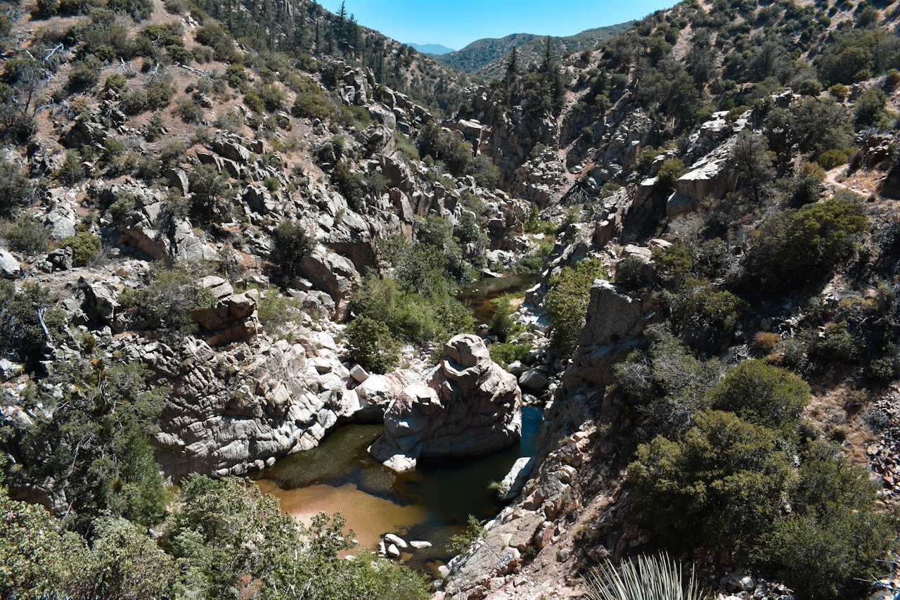
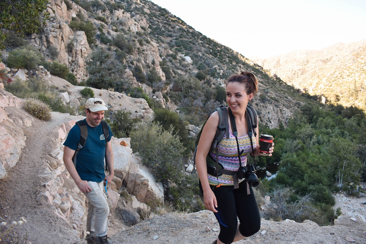
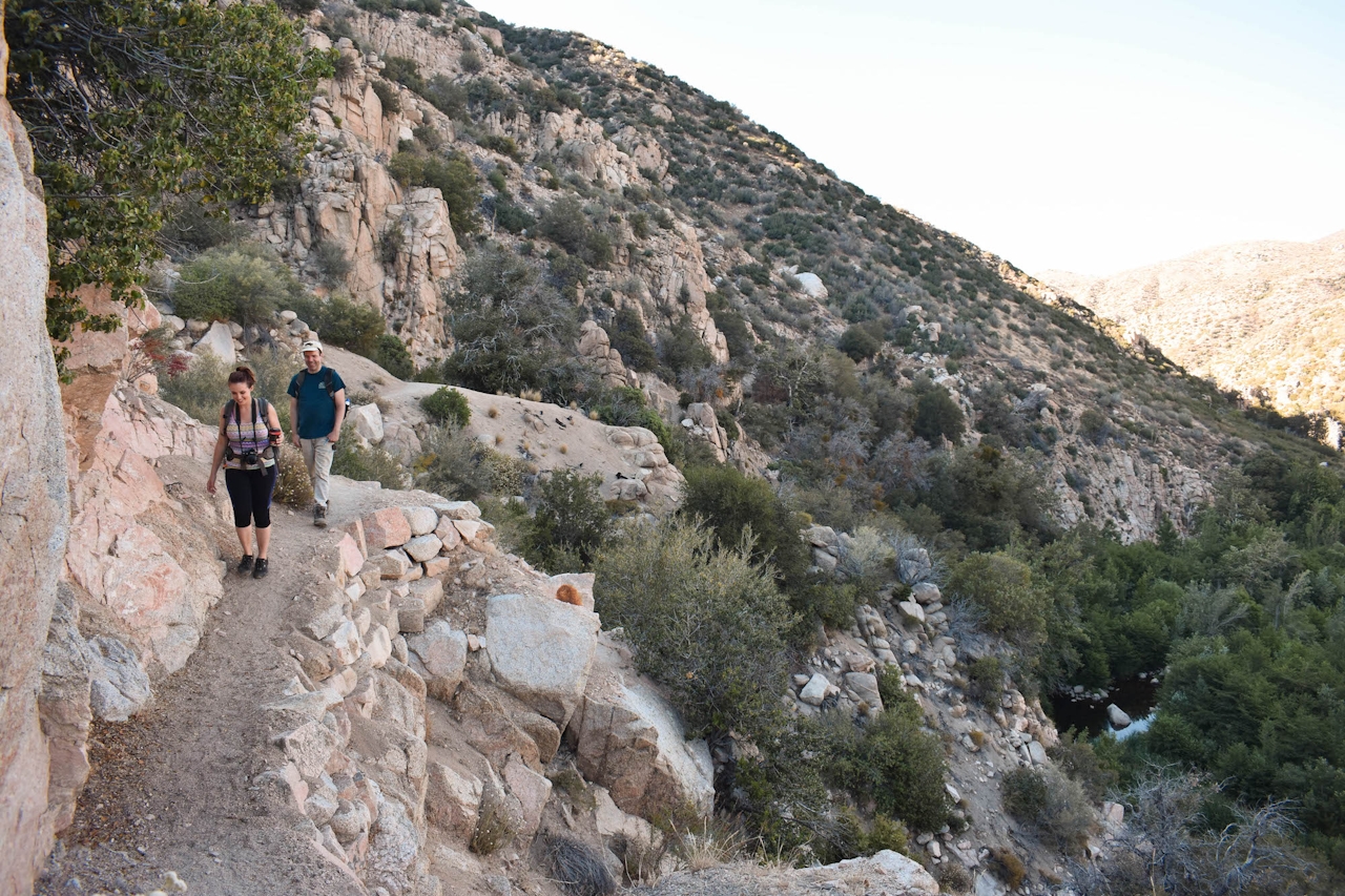
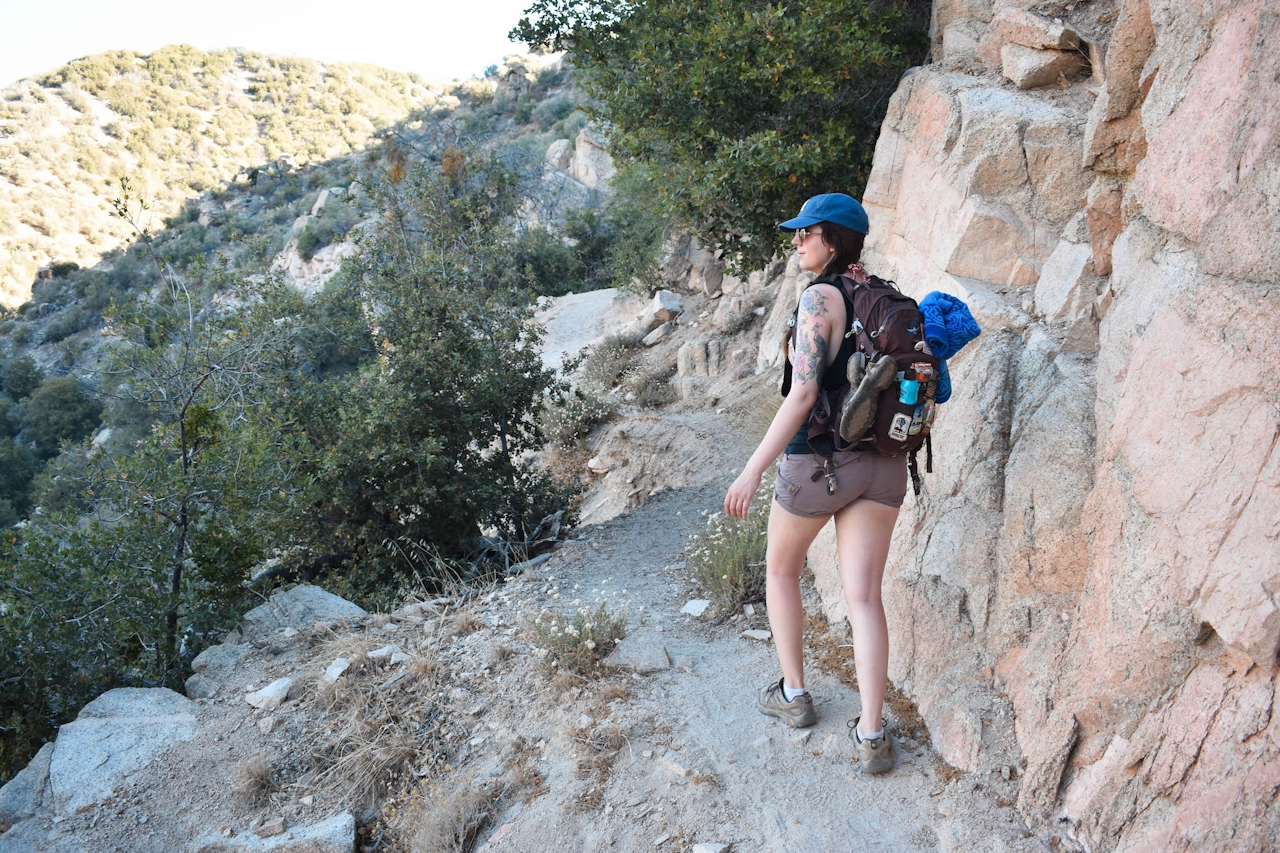
As you hike, you’ll catch glimpses of several other swimming holes in the canyon, some accessible by trail (including the popular Aztec Falls), and others protected by the sheer canyon walls. The hike to Devil’s Hole feels easy and flat, but the trail is actually at a steady decline—meaning be prepared for 3 miles of slight uphill on your way back. There’s little shade on the trail, so get an early start. The trail is straightforward and easy to follow—no forks or turns to worry about. It leads directly to the swimming hole before the rest of the PCT continues uphill past some 4WD roads.
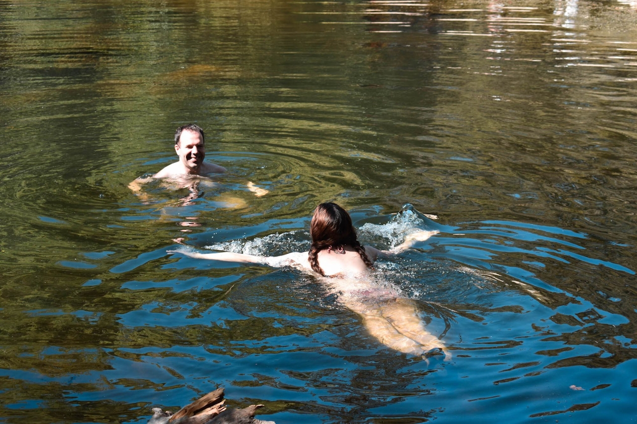
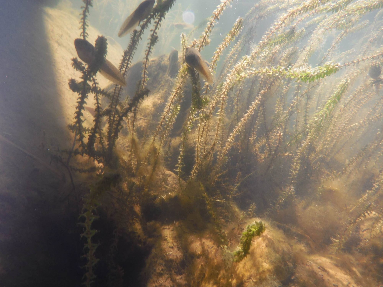
Devil’s Hole is a delightful and secluded place to swim, though you’ll share it with lots of underwater plants, fish, and tadpoles. Dirt bikers will probably pass by, but the area is free of the crowds you find at many other swimming holes, offering a truly peaceful atmosphere. Strap on your water shoes, open a cold drink, and make a splash!
From CA-210 in San Bernardino, exit at CA-18/Waterman Ave. toward Lake Arrowhead and continue about 26 miles. Then turn left onto CA-173 toward Lake Arrowhead. After passing Lake Arrowhead Village, make a right onto Hook Creek Rd. Follow it 3.6 miles until you reach the sign for the Deep Creek Day Use Area, and veer left at the fork. The dirt road is accessible to all vehicles. Park at the Splinters Cabin Day Use Parking Area. Adventure Pass required. Dog-friendly!







