Jump for Judah!
Mt Judah Hike in Tahoe Donner


Tackle Tahoe's deservedly popular Mt. Judah loop this summer and you'll reach new heights in more ways than one. The 4.6-mile wonderland hike starts at 7,000 feet on the famed Pacific Crest Trail along Donner Pass Drive. And things just keep looking up from step one. First, ascend a granite headwall (via switchbacks) that rewards with a bird’s eye view of Lake Mary.
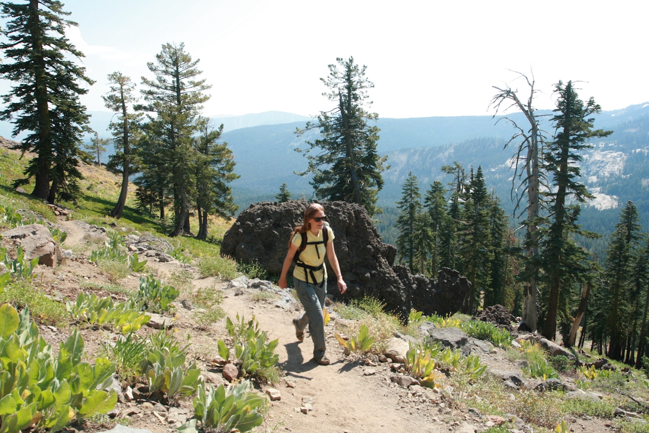
Then the trail levels out as it passes through pine and fir trees—some with giant, curiously curved trunks resembling something out of a Dr. Seuss book. The currently deserted chairlifts for Sugar Bowl crisscross the mountains to the west, and wildflowers like lupine, purple daisies, yellow mule's ears, and Indian paintbrush color parts of the trail. The last push comes nearly 2 miles in, as the landscape becomes more barren and boulder-strewn.
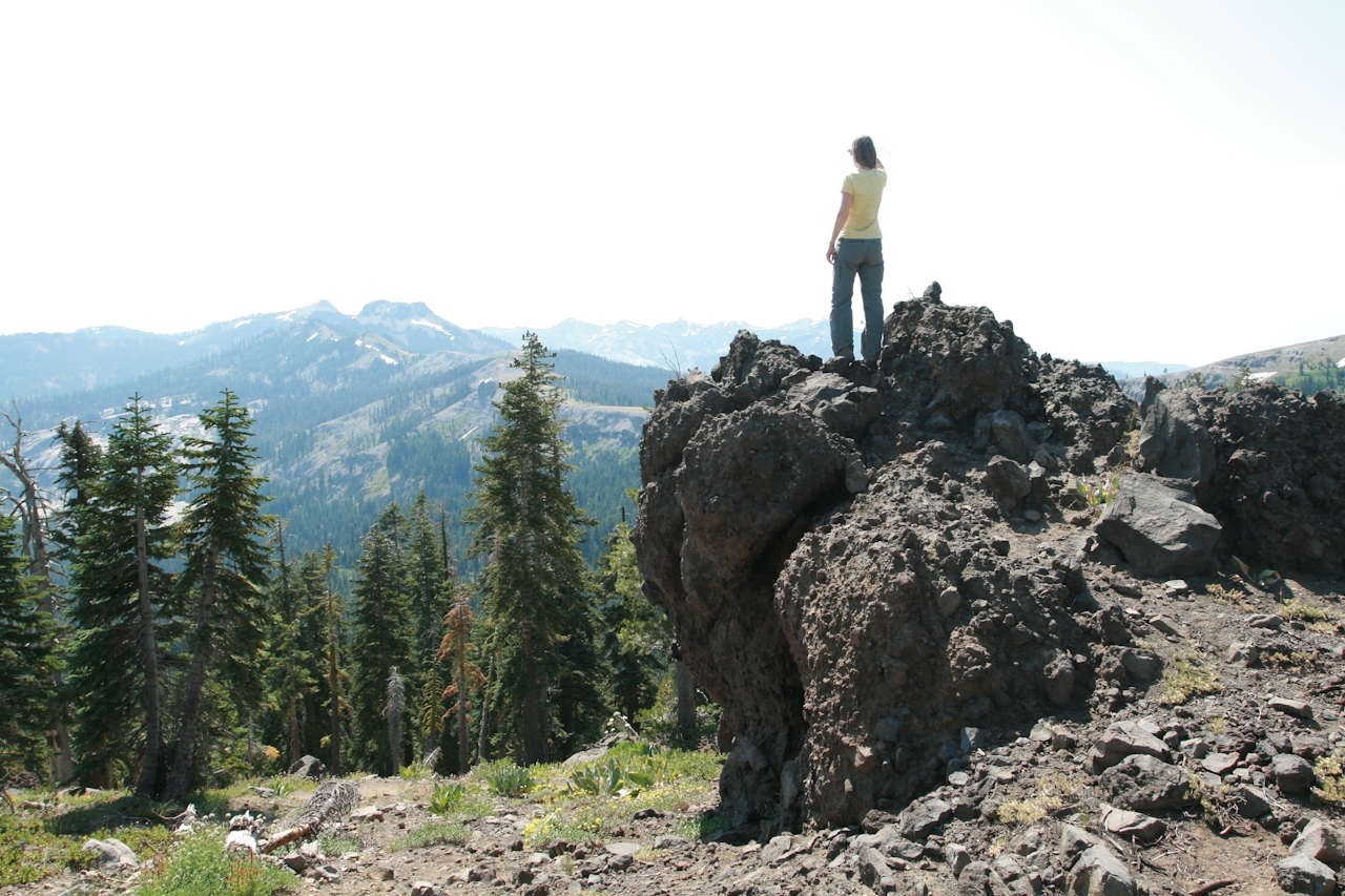
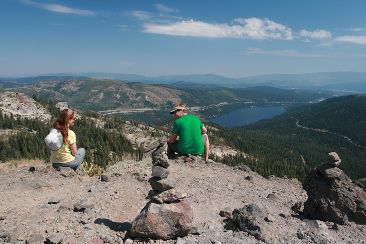
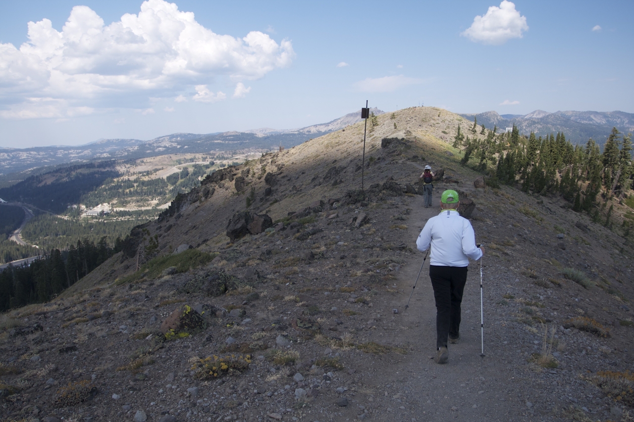
Mt. Judah’s peak checks in at 8,243 feet. From here superb views of Tahoe Basin abound: Donner Lake, Martis Valley, the Carson Range, Castle Peak, and Tinker Knob. Descend the mountain via the bare north ridge and back through the forest. Judah jubilation!
From I-80, take the Donner Lake or Soda Springs exit and follow Donner Pass Rd (Old Hwy 40) for about 4 miles. Look for "Pacific Crest Trail" (PCT) signs. The dirt parking lot is on the south side of the road by a cluster of buildings, east of Sugar Bowl ski resort. Walk south down a dirt road and find the PCT sign. The first 2 miles of the trail are on the PCT. At the first junction (in about 1 mile) there’s a left turn for Mt. Judah—don’t turn left; stay straight. In another mile, you’ll reach an obvious but unmarked junction (look for a “trail adopted by Bob & Lori Belden” sign). Make a hairpin left here to climb up to Mt. Judah. Descend the peak on the north side. About 1 mile from the peak you’ll reach a three-way junction; veer left. In another half-mile you’ll reach the PCT again, where you turn right and follow it back to the parking area. Dog-friendly!







