Haulin’ Oat!

Oat Mine Trail long hike in Napa

{MARCH 29, 2023 UPDATE: Due to the most recent storm, please be aware that there may be sudden trail closures and poor and hazardous conditions; check official websites before visiting, and exercise good judgement and caution.}

No offense to hot air balloons, but we have a better way to get a bird’s-eye view of Napa Valley. The Oat Hill Mine Trail out of Calistoga climbs up into the Palisades on an old stage coach route. This 8.5-mile (round-trip) hike starts with a steady and ongoing climb, but right off the bat you get gorgeous views of northern Napa Valley. The trail then ducks back into a forest of oak, Douglas fir, and chaparral. After 3 miles you’ll reach Bald Hill, the best spot for taking a lunch break by one of the numerous volcanic boulders, easily the best seats in the house for big-time views. The panorama sweeps the valley, all the way out to Lake County and Sonoma County.

Mount St. Helena lords in the north. Even better, after Bald Hill, the trail is simply spectacular. Wide-open views, dramatic volcanic rock formations like something out of Game of Thrones, and—in the spring: wildflowers! The rock walls of the Palisades rise to 40 feet in places. Your turnaround point is the old Holms Place, a long-gone homestead from the late 1800s. You can still see some of the stone wall from its barn. Return the way you came. No hot air about it, this hike is two thumbs up (and up!)
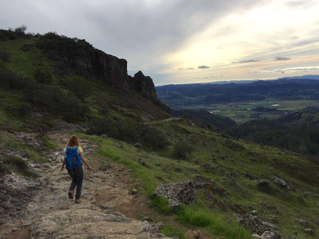
oathill1-image-jpeg

BONUS FOOD + DRINK: Just a half-mile down the road is the stylish Solbar in the Solage Calistoga resort. They have bocce courts, a large outdoor patio, and wines galore—from super local to sweet and fortified.

The Oat Hill Mine trailhead and parking is at the corner of Silverado Trail and Hwy. 29 in Calistoga. Dog-friendly!

Trending Stories NorCal

View all Stories
  1. Woman with her arms outstretched to the rolling hills scenery while on a rock outcrop at Barnabe Peak in Samuel P Taylor Sate Park in Marin

    Barnabe Bonanza

    Sure, there are higher mountains in Marin (Mount Tam) and easier ascents (Mount Burdell), but is there a more expansive North Bay view? Barnabe Peak in Samuel P. Taylor State Park offers a glorious panorama including Mount Tam, Mount Diablo, and Mount St. Helena.

    View
  2. Tamtastic Sunset

    Sure, the East Peak of Mount Tam is absolutely spectacular at sunset, but some magic-hour enthusiasts head to a nearby spot, Trojan Point, for a little more personal space in their panoramic viewings.

    View
  3. Hiker on the SCA trail in Marin Headlands with view of the Golden Gate Bridge

    Headlands Over Heels

    People come from all over the world to get a glimpse of the Golden Gate Bridge. Get a dramatic and novel view of the bridge without all the people on this moderate 6-mile hike in the Marin Headlands.

    View

Trending Stories SoCal

View all Stories
  1. Woman hiking the San Onofre Bluffs Loop Trail to San Onofre State Beach in San Diego County

    Bluffing Good!

    Lovely coastline, beautiful beaches, unique geological history, and picturesque sandstone cliffs with limited foot traffic in San Diego County? Head to San Onofre State Beach and the 5-mile San Onofre Bluffs Loop Trail.

    View
  2. Can We Get a Whoop Whoop!

    City, mountain, and ocean views all in one hike? Whoop whoop! It’s no surprise the the Kenter Fire Road and Whoop-de-Doos Trail (a combo of fire road and singletrack) is a favorite among local mountain bikers and hikers alike.

    View
  3. The Big Chill

    In LA, finding a place to chill can be the ultimate flex. So flex, in Franklin Canyon! This unexpected oasis has plenty of shade, cool lake breezes, and ample picnicking spots. Enjoy it on an easy-going 1-mile stroll along its reservoir and duck pond.

    View





