Notch One for Baldy
Snowshoe hiking on Mount Baldy in Los Angeles County


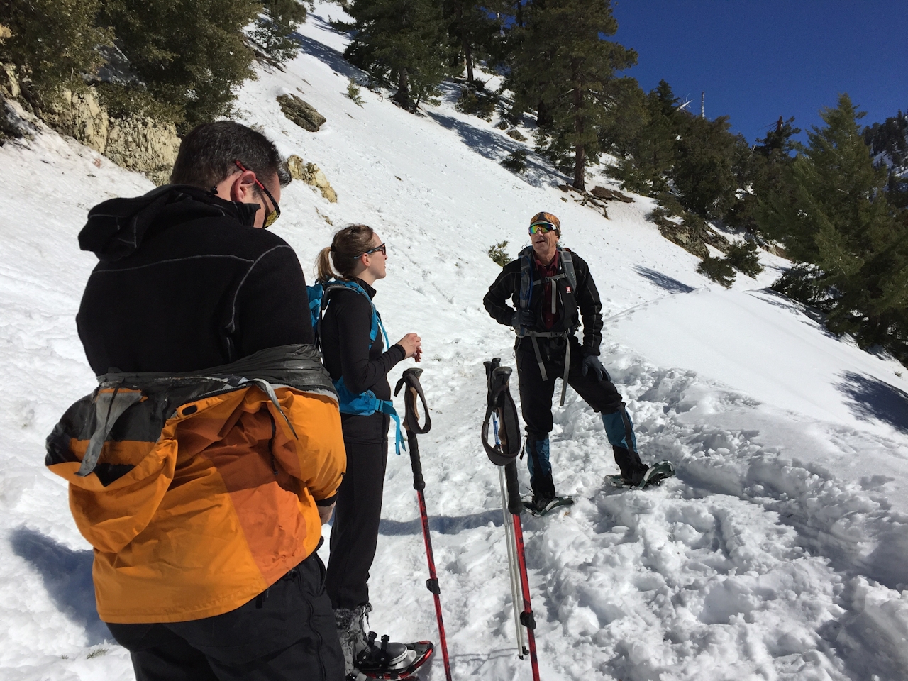
In a great winter, Mount Baldy’s lower slopes become one of SoCal’s most accessible snow playgrounds—skiing and boarding up top, sledding and building snowpersons at the bottom. In between is a virtual highway for snowshoers—snowed-over Falls Road and Baldy Road, from Manker Flats to Baldy Notch. You climb steadily, never strenuously, snow-crunching through the pines for about 3.5 miles, gaining about 1,500 feet. Park as close as you can to the Mount Baldy Trailhead in Manker Canyon, skirt the locked gate at the bottom of Falls Road, and start up that road (it might be icy) until it’s time to strap on your platforms. In just over a half mile, you’ll come to a hairpin and a view of tripartite San Antonio Falls. Continue on the would-be Baldy Road (stay right when narrow Ski Hut Trail branches left), which is your way to the Notch. Unless there’s been a fresh fall, the snow will be well packed and the going generally easy.
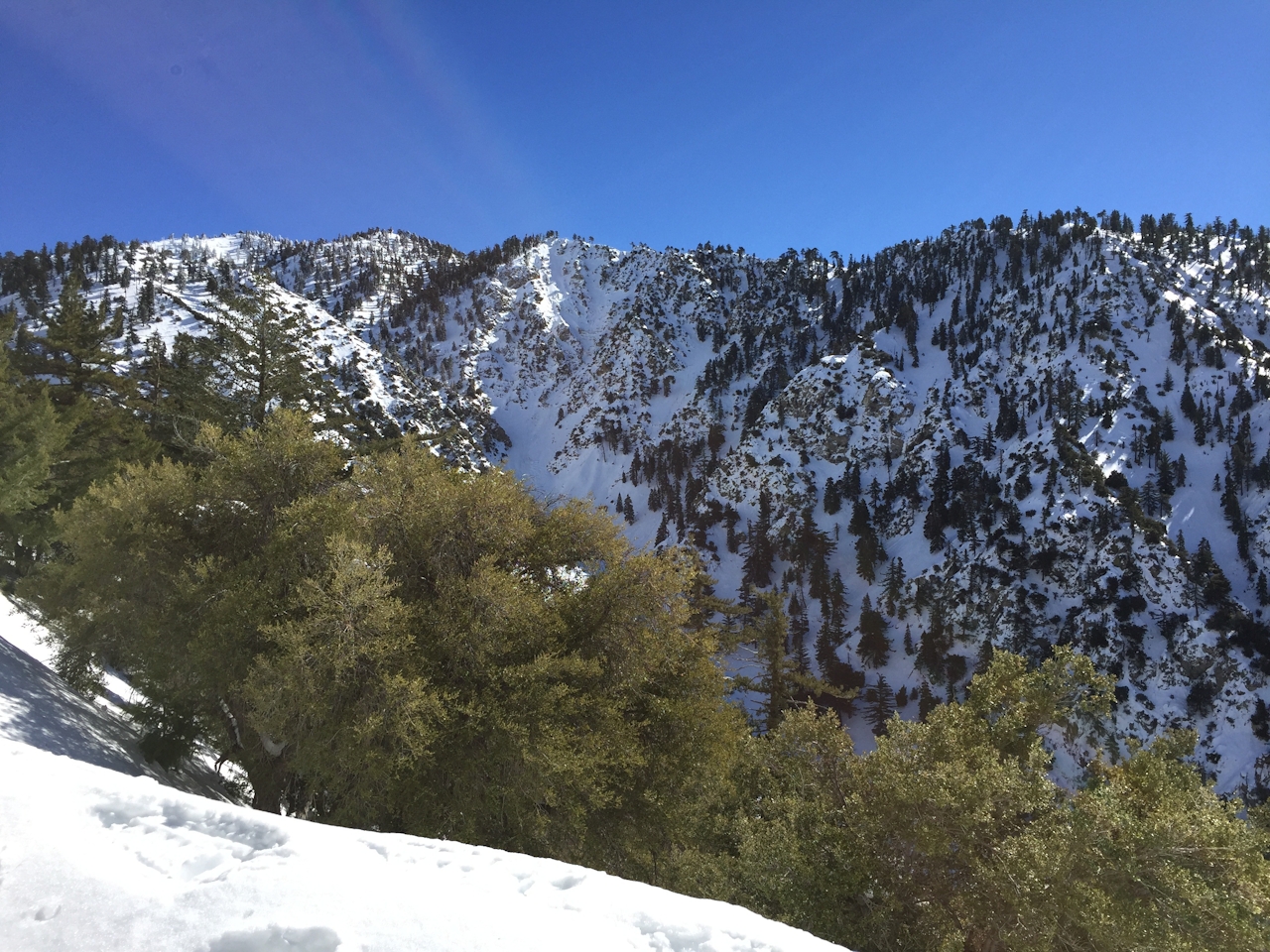
Enjoy the mountain views, and behind you, Sunset Peak, the LA Basin, and glimpses of the Pacific—but stay alert for skiers and boarders. Your goal soon reveals itself: the Top of the Notch restaurant and lift station, 7,800 feet, where you can grab a craft beer and a burger, then simply ride the chairs back down.
Coming from the west on I-210 in Claremont, take exit 52, Baseline Rd. At the end of the ramp, turn left and make an immediate right on Padua Ave. Drive 1.8 miles north to Mount Baldy Rd. Turn right and continue 7 miles to Mount Baldy Village, where you can pick up a $5 National Forest Adventure Pass at the Mount Baldy Visitor Center. Proceed another 4.4 miles up Mount Baldy Rd. past Manker Flats Campground, and look for roadside parking near the Falls Rd. intersection. Parking’s tight on weekends; head up early. Dog-friendly on the trail, but not the ski lift. Coming from the east on I-210 in Claremont, take exit 54, Mountain Ave., and proceed 4 miles up Mountain to Mount Baldy Rd. Continue 4.6 miles to Mount Baldy Village. Then follow the directions above.







