Holy Cowles!
Sunset Hike to the Summit of Cowles Mountain in San Diego


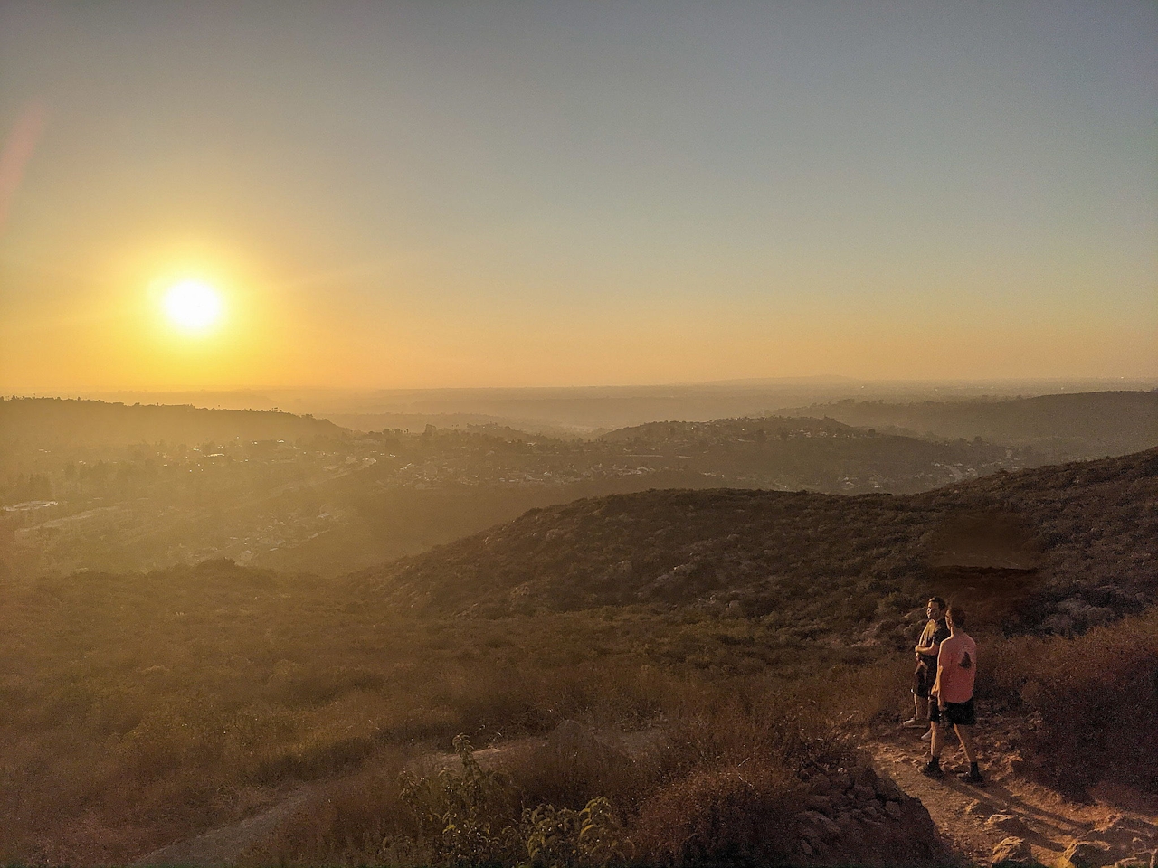
Some say San Diego is the star city of sunsets, so with a reputation like that you’ve gotta head straight for the top to see for yourself. And by that we mean the summit at Cowles Mountain (named after a 19th-century rancher) in Mission Trails Regional Park. This 3-mile “up-and-down” hike requires nearly 1,000 feet of elevation gain to soak in the sunset.

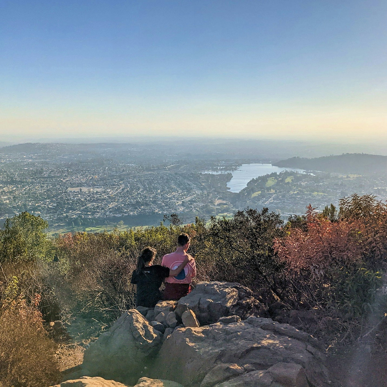
Multiple routes lead to the peak—the city’s tallest at 1,593 feet. We recommend starting off from the traditional trailhead at Golfcrest Drive and Navajo Road. The trail wastes no time ascending and doesn’t let up. You can see the peak and switchbacks looming throughout the exposed hike, and the views are excellent the whole way, starting with Lake Murray to the southwest.
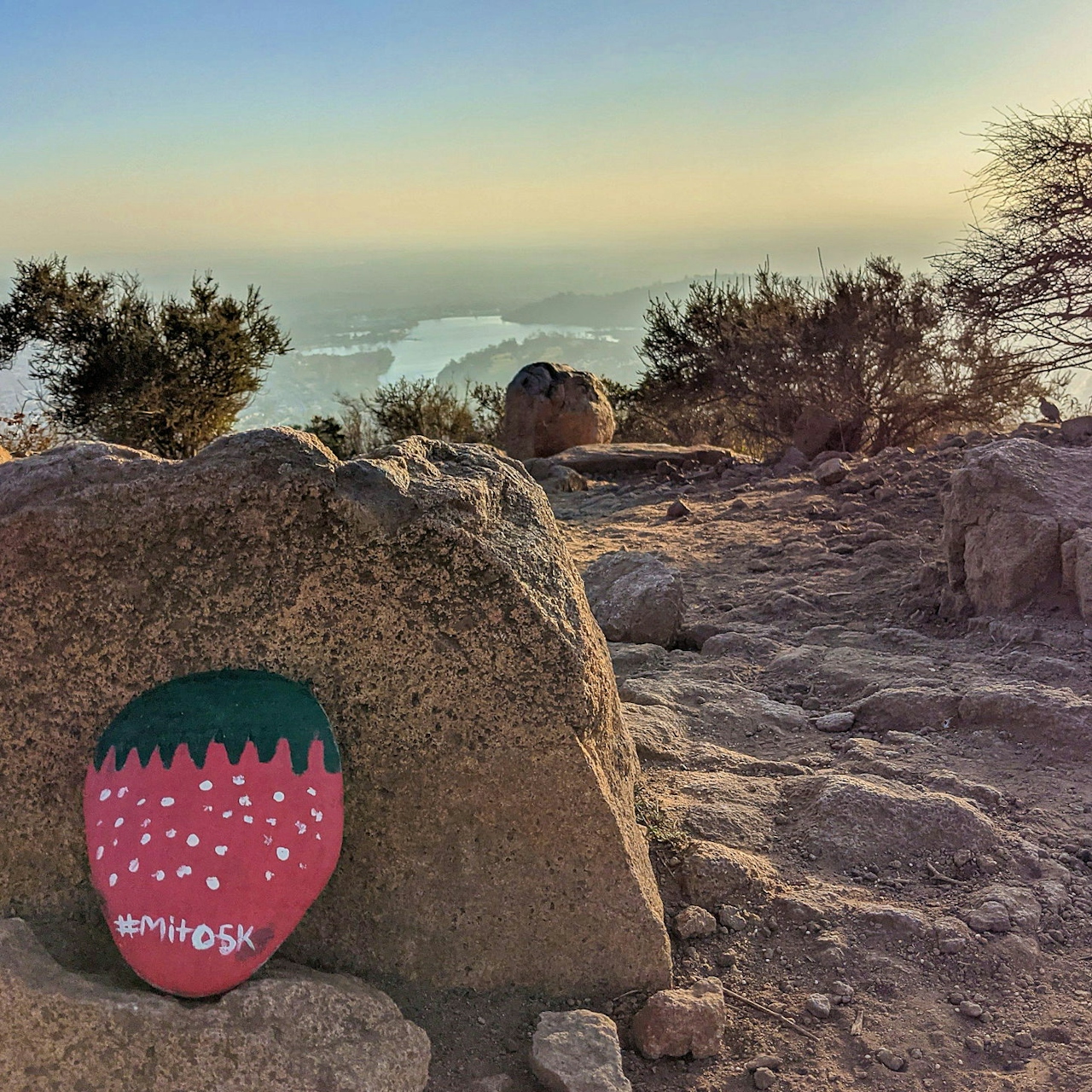
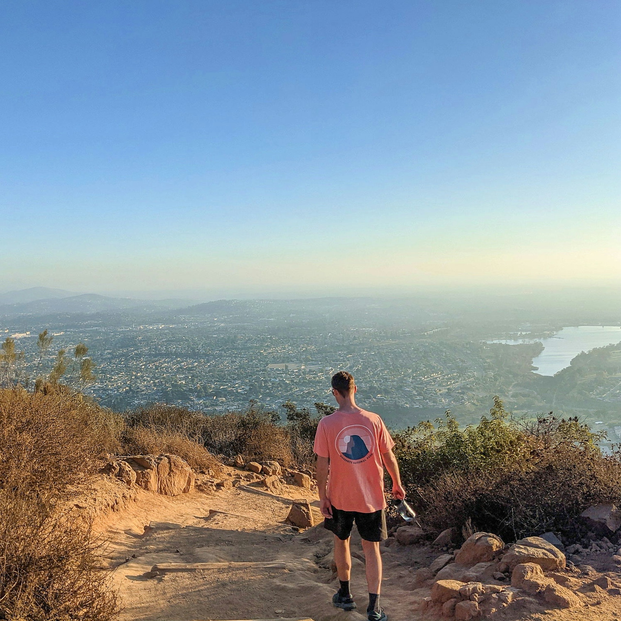
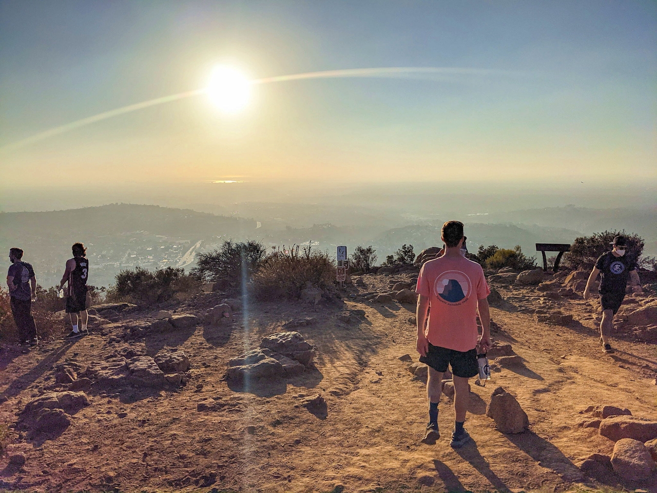
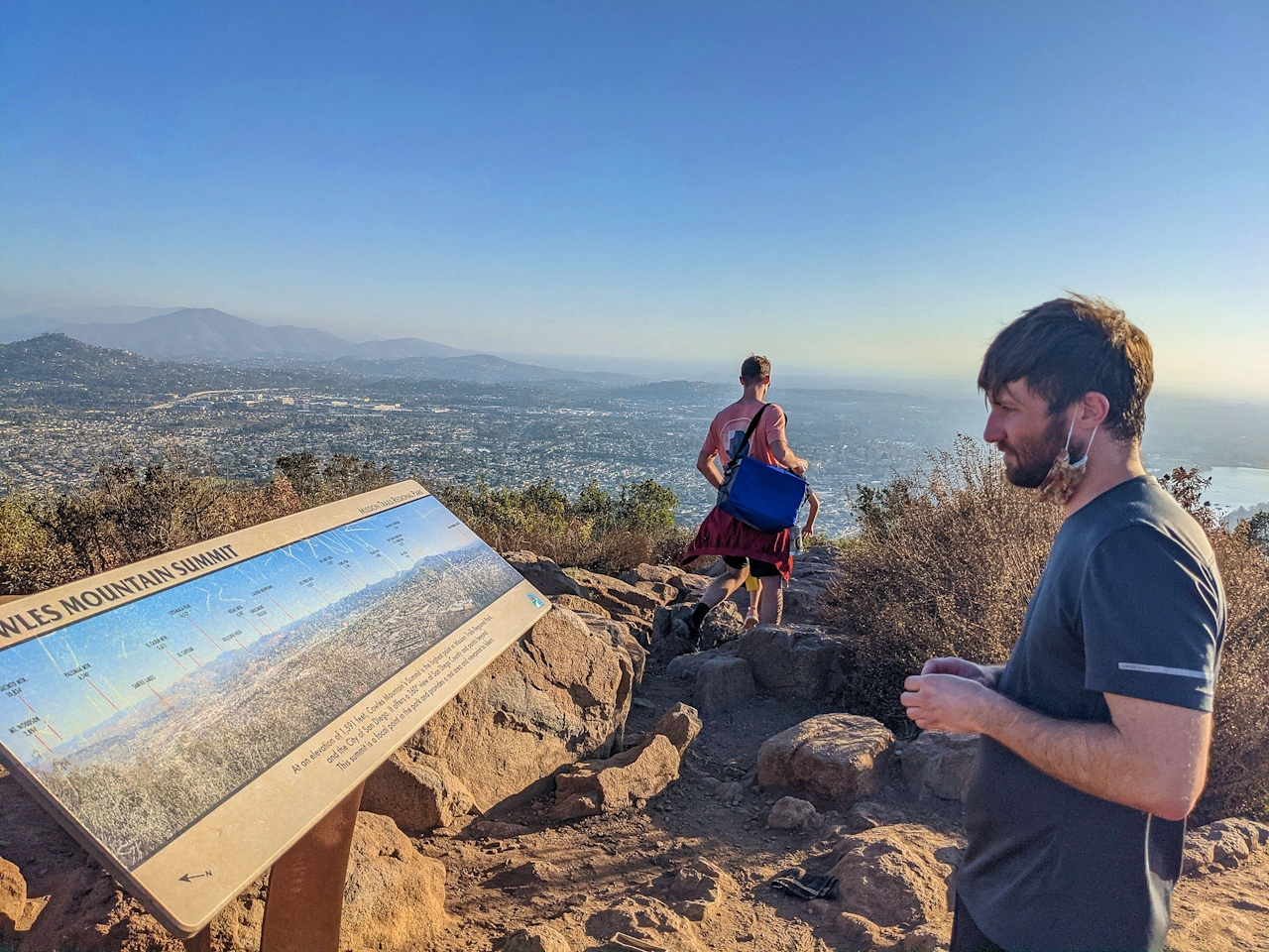
Outcroppings and boulders make good spots for taking a break to enjoy the vistas. Cairns are stacked in the balance by fellow hikers. There’s one trail junction along the way, at the 1-mile mark: Barker Trail. Ignore it and continue upward another half mile to the peak. Viewing time! Hike first to the north end of the summit, finding the geological survey marker and a plaque. Hiker superstition encourages visitors to touch the rock holding the plaque, otherwise, legend says you will have to start over and climb again. There’s also an interpretive sign detailing some of the 360-degree views currently surrounding you.
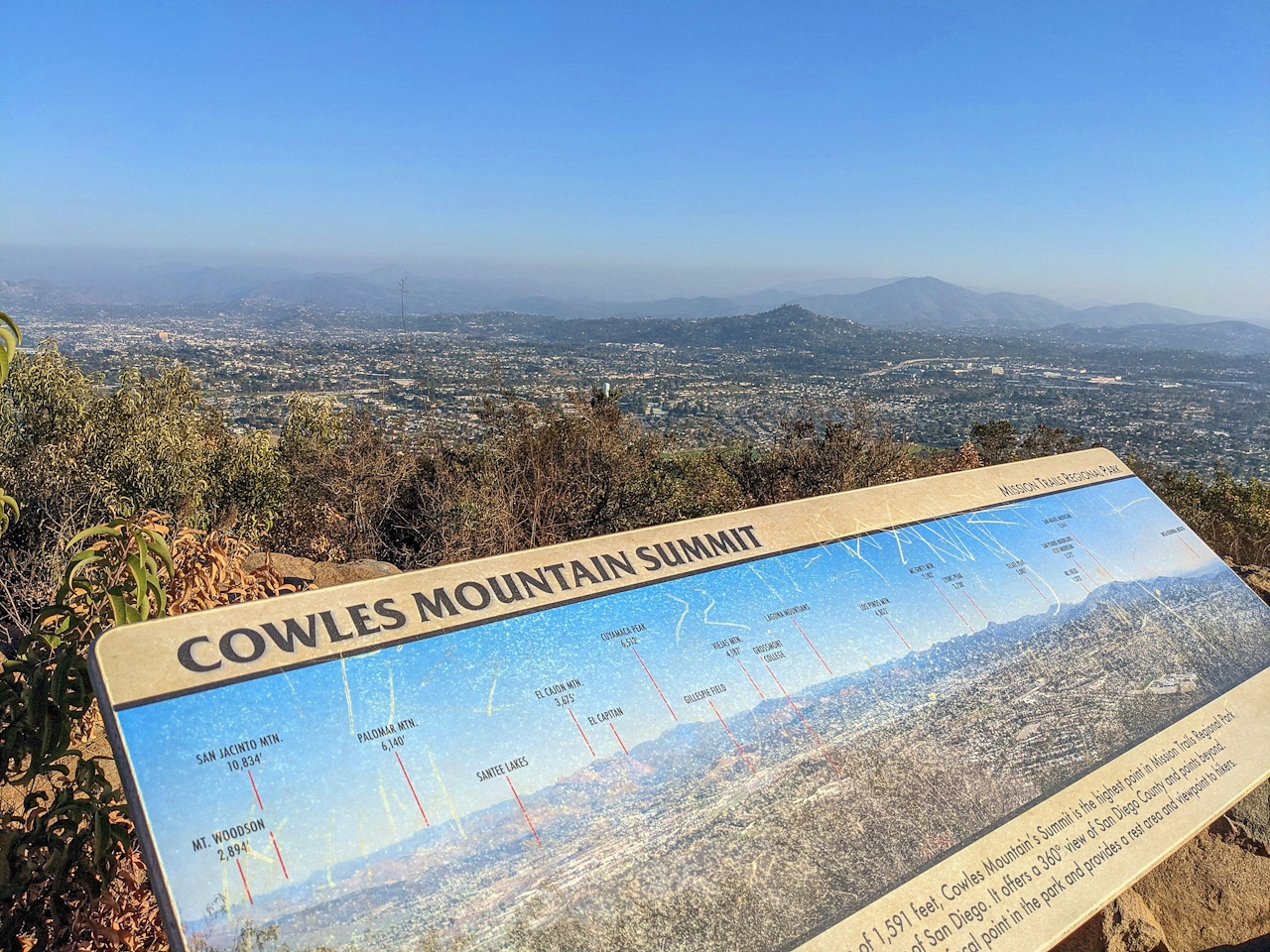
The panorama stretches to the skyscrapers of downtown San Diego, along with endless Pacific Ocean vistas to the west (on clear days look for Catalina Island). Other prominent landmarks include Cuyamaca Peak, the second highest in San Diego County at 6,512 feet, and Viejas Mountain to the east in the Cleveland National Forest.
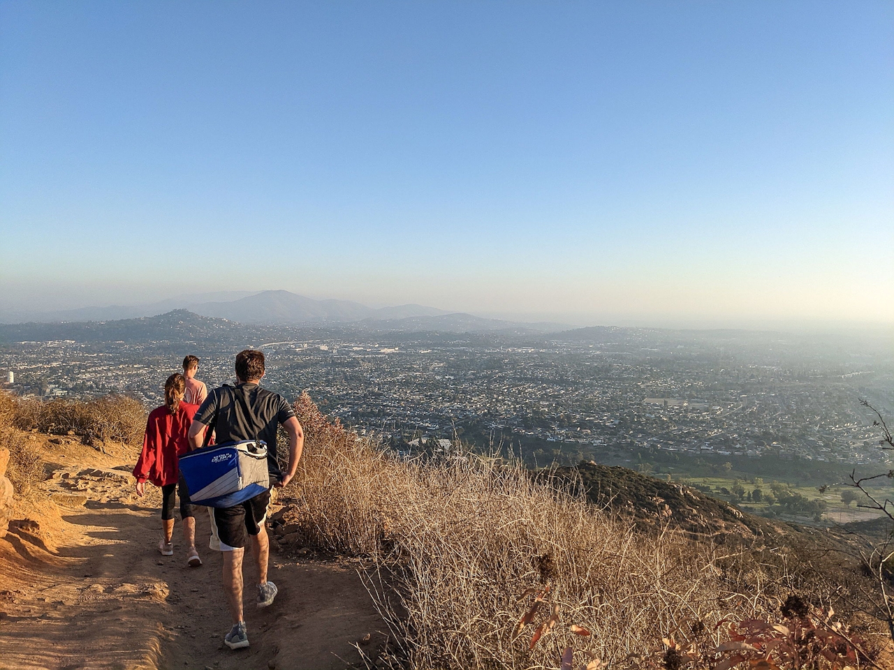
Take time to scan the foreground for the other Mission Trails Regional Park peaks—Pyle’s Peak, Kwaay Paay, South and North Fortuna—which provide a few alternative hikes in what is the largest regional park in Southern California. It’s all downhill from here. Be sure to give yourself plenty of twilight for the descent.
To get to the Cowles Mountain trailhead and parking lot in Mission Trails Regional Park, take the I-15, I-5 or I-805 to the I-8 East. Take exit 10 for College Ave. and turn left, heading north. After 1.3 miles, turn right onto Navajo Rd. and take this for 2 miles to the junction with Golfcrest Dr. Turn left to find the lot and extensive street parking. Dog-friendly!







