Bobcat to Box Canyon
Hike the hidden Bobcat Loop in Rancho La Costa Preserve


As the saying goes, sometimes it’s good to focus on the little joys in life instead of the big picture. At Rancho La Costa Preserve, that means hiking the hidden 2-mile Bobcat loop amid its 500 acres. This petite escape combines small wonders and big views.
Park at the City of Carlsbad’s Fire Station 6 lot (there are public spaces here) and find the interpretive sign for the trailhead. The coastal sage habitat does indeed have resident bobcats roaming the trails, though you're more likely to see a horned lizard in the brush or a red-tailed hawk in the sky above.
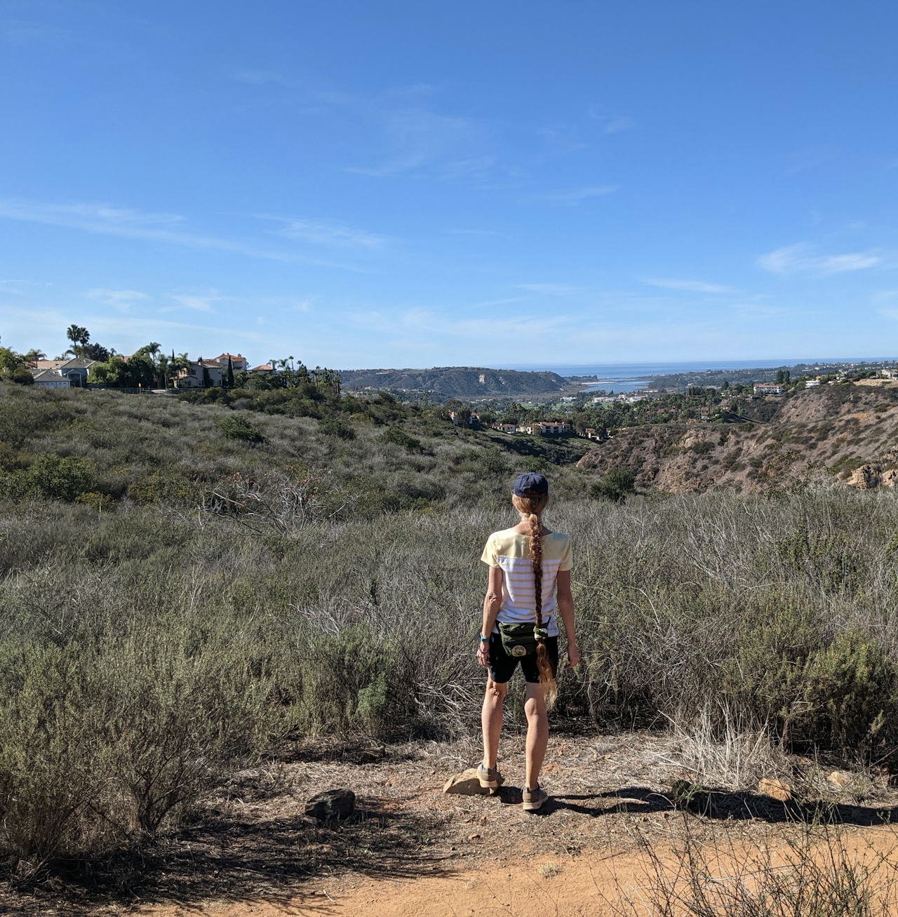
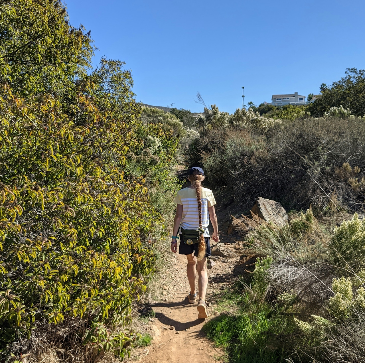
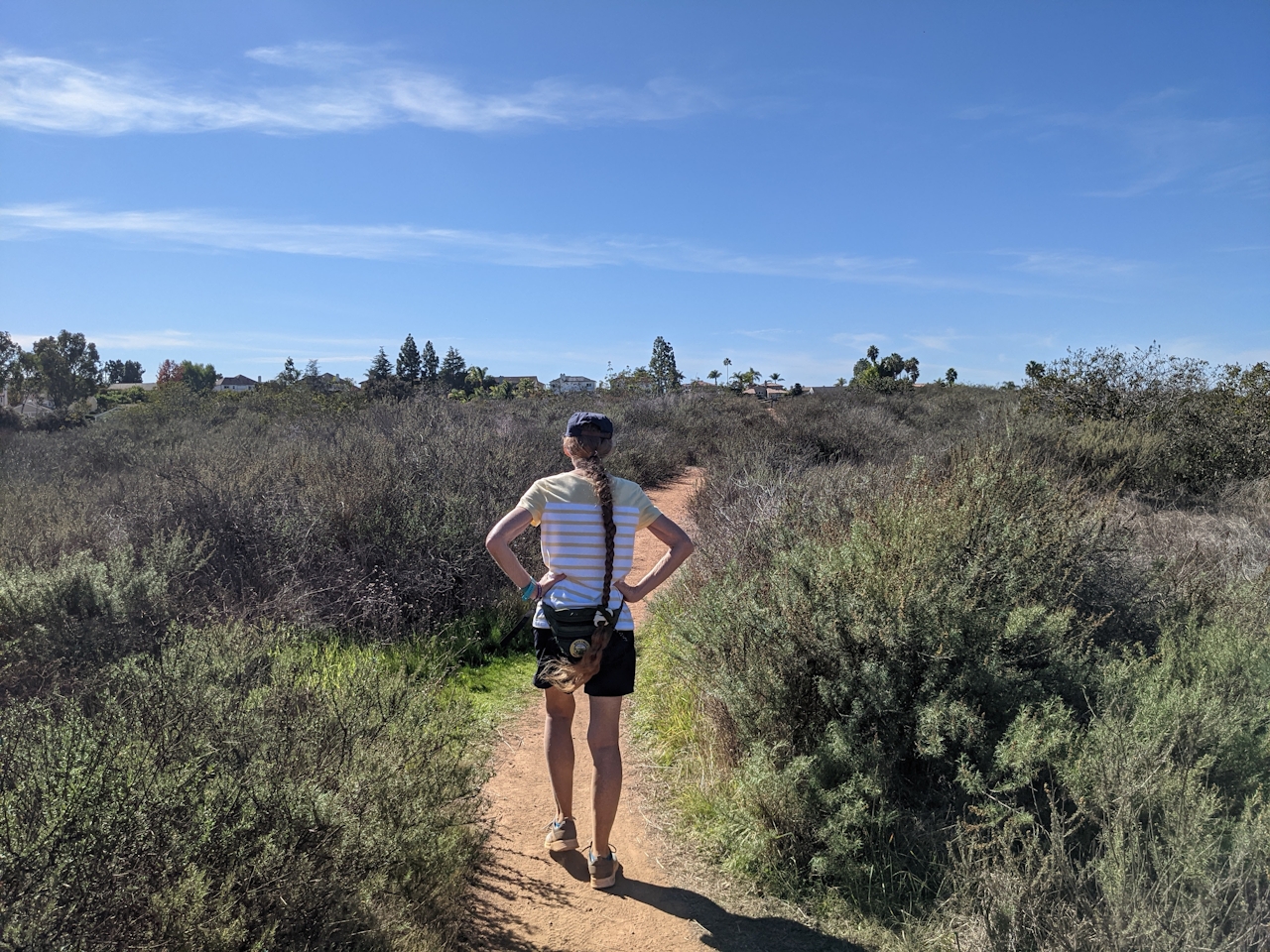
The trail winds through desert broom, prickly pear cactus, thornmint, manzanita, sumac, and lemonade berry bushes (to name a few) as it heads west towards Batiquitos Lagoon and the ocean, which you can see throughout the hike. You’ll pass by a few spur trails that head into the neighboring suburbs, but keep going until you take a short spur trail under power lines to the Box Canyon Overlook.
It’s a surprisingly rugged scene, with sheer canyon cliffs steeply descending into a deep canyon and dense riparian environment, where San Marcos Creek runs through towards the lagoon. There’s also supposedly a swimming hole, but please note: Box Canyon is completely off-limits; just enjoy the view from here! You can also spot the Ridgeline Trail at the other side of the canyon, accessible via a short drive and also worth a visit.
Head back to the main trail, and this time head south to continue your loop, climbing back towards the road, with Denk Mountain looming ahead. At your next junction, there is a short trail ascending to your right. This leads to Cadencia Park and is worth the small sidetrip (and is also a good alternative starting point to the hike).
Keep ascending southeast until you reach a paved road - head left here (you can actually turn right here and you'll end up going all the way to a local shopping center). This is Old Rancho Santa Fe Road, which used to be open to automobile traffic through the neighborhoods, and it takes you back to the fire station and your car. Before you leave, take a moment to read the historical sign that describes some fire history in the area too.
To get to the Bobcat trailhead, take the I-5 to the Leucadia Blvd. exit and head east. After 1.9 miles, Leucadia Blvd. becomes Olivenhain Rd. and after another mile continues straight onto Rancho Santa Fe Rd. After 2.4 miles, make a left into the fire station lot; there are a few public spaces here. Dog-friendly!







