Red Rock On

Hike the volcanic landscape at Red Rock Canyon State Park

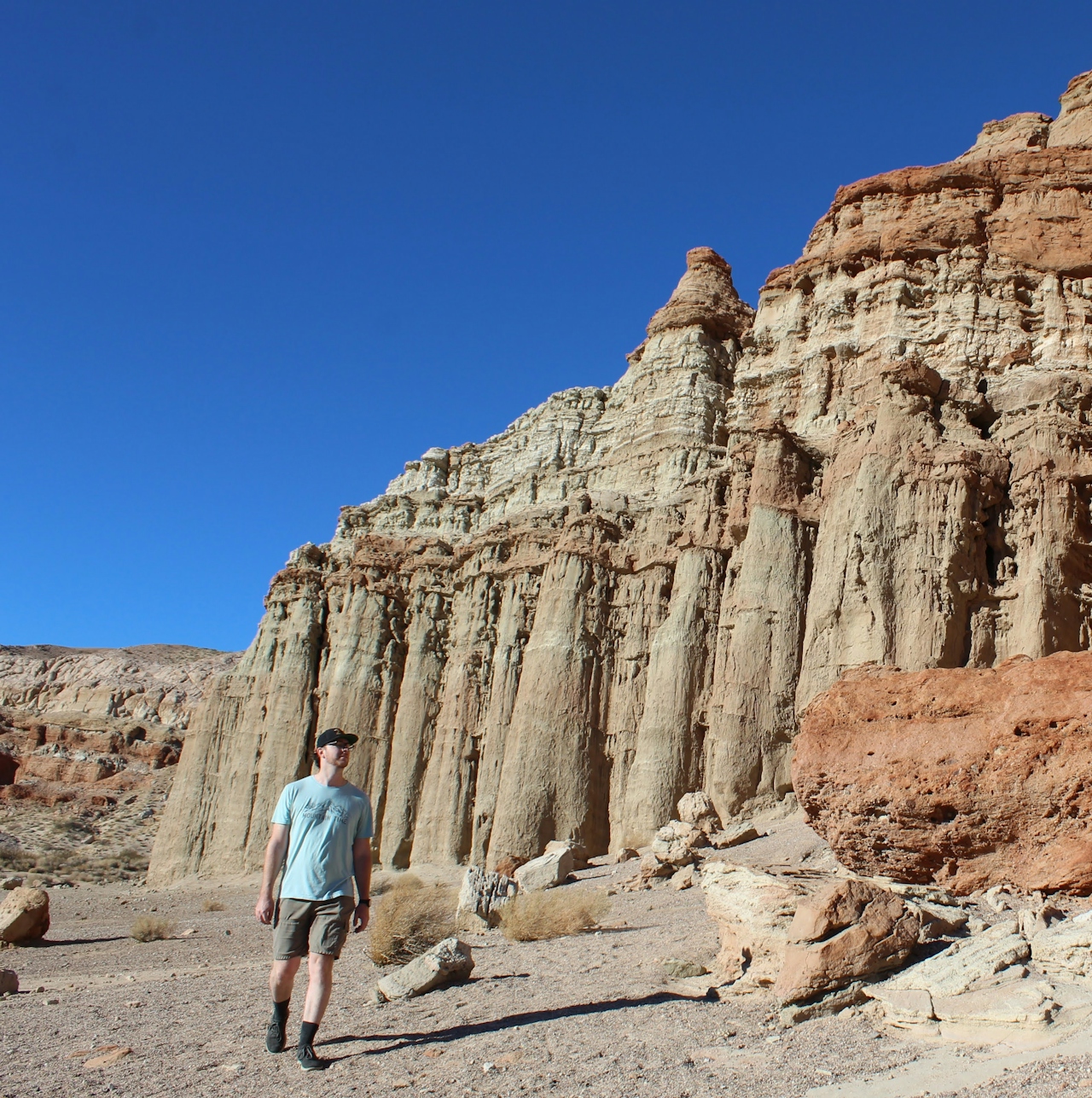
Hiker waving to camera in font of giant marbled sandstones at Red Rock Canyon State Park

With its vivid volcanic reds, folded sandstone whites, and mudstone browns, it’s hard to believe that Red Rock Canyon State Park is within the southernmost tip of the Sierra Nevada mountain range. This cliffside, resembling curtains in shades of earth tones, is but one of the many unique geological features here.
Hiker on the trail at Red Rock Canyon State Park in California

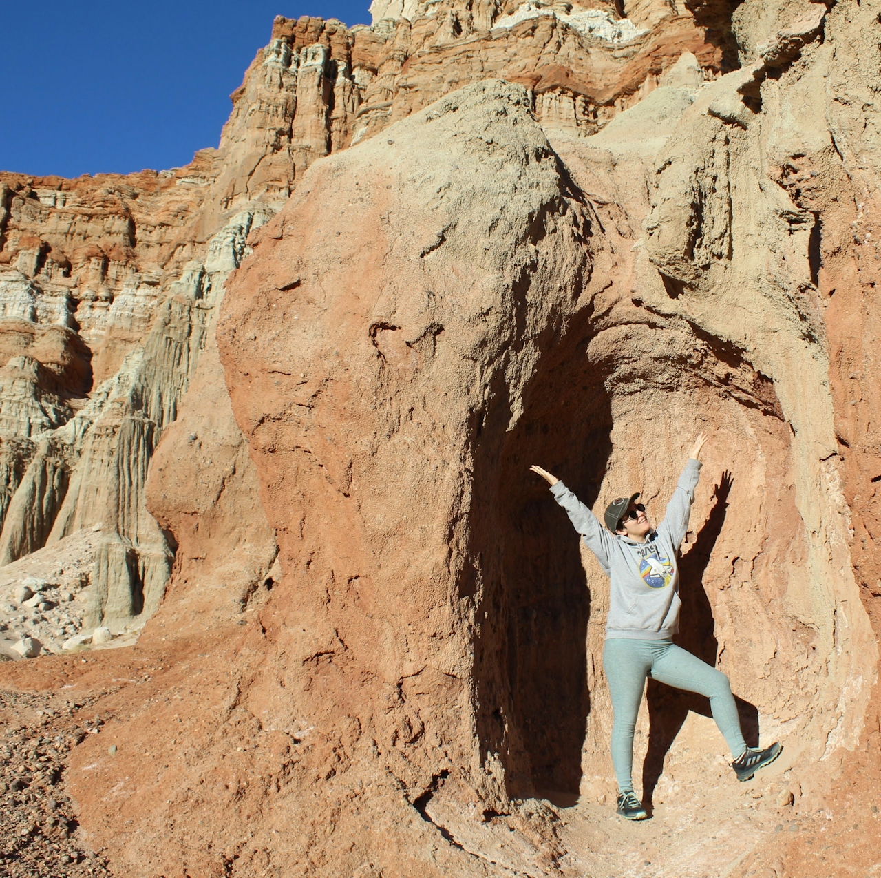
Person posing inside a cavern pocket at Red Rock Canyon State Park

For highlights, wander the nearly 1-mile loop trail. But before starting up the trailhead, you can get up close to all the fissures and step inside one of the shallow caves. The trail is lined by rocks and is easy to follow. The first leg takes you up a small hill, where you can veer off a bit to get an over-the-top view of the Red Cliffs and experience a panoramic view of the prominent canyons that are sprinkled with Joshua trees and yuccas.
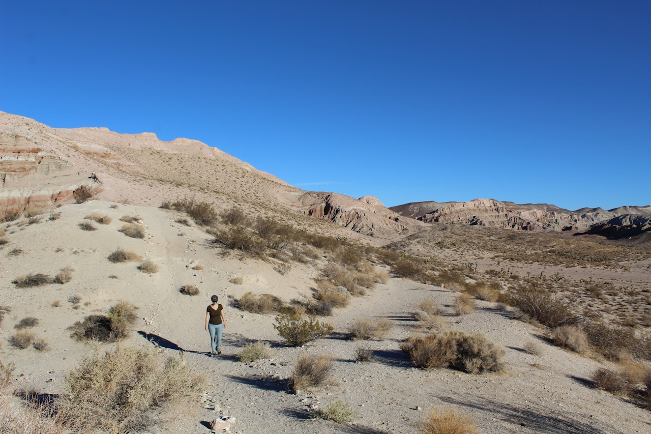
Hiker among wide open space at Red Rock Canyon State Park in California

The trail turns right and offers up some benches to take in the fullness of the Red Cliffs from a distance before you head back down to the parking area. Historically the colorful rock formations in the park served as landmarks for 20-mule-team freight wagons that stopped for water traveling from Death Valley. Fossils of saber-tooth cats and alligator lizards have been found within the mudstone and volcanic layers. 
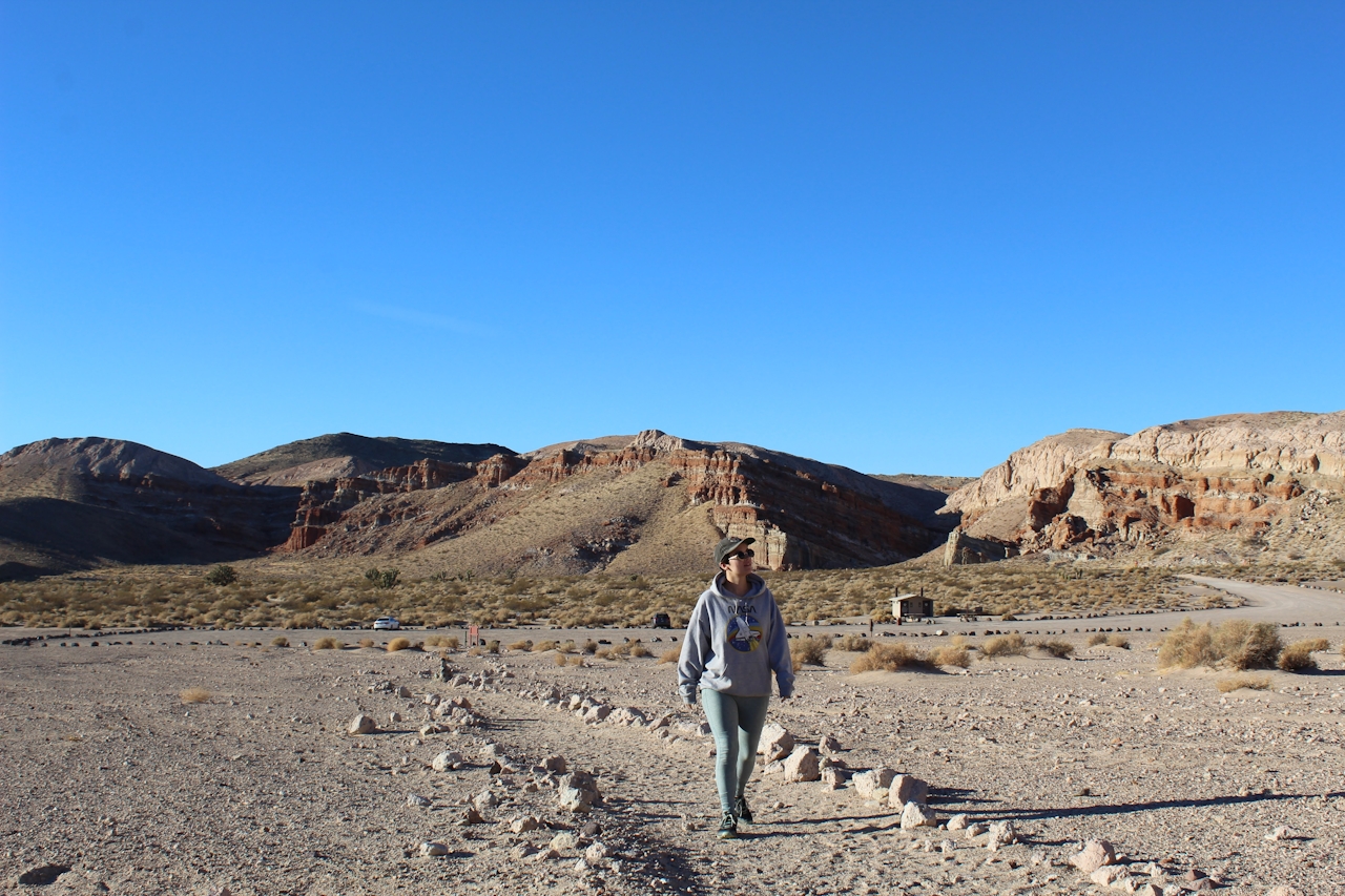
Hiker at Red Rock Canyon State Park in California

This almost alien area was also a Hollywood favorite for classic sci-fi shows like Lost in Space, Battlestar Galactica, and The Twilight Zone. These cliffs are no strangers to old westerns either. If you are wanting to feel like you’re on a different planet, this is a great desert location to check out!

Heading north on the CA-14, the parking area is the first right after entering Red Rock Canyon State Park. This trail is dog and horse friendly.

Trending Stories NorCal

View all Stories
  1. Woman with her arms outstretched to the rolling hills scenery while on a rock outcrop at Barnabe Peak in Samuel P Taylor Sate Park in Marin

    Barnabe Bonanza

    Sure, there are higher mountains in Marin (Mount Tam) and easier ascents (Mount Burdell), but is there a more expansive North Bay view? Barnabe Peak in Samuel P. Taylor State Park offers a glorious panorama including Mount Tam, Mount Diablo, and Mount St. Helena.

    View
  2. Tamtastic Sunset

    Sure, the East Peak of Mount Tam is absolutely spectacular at sunset, but some magic-hour enthusiasts head to a nearby spot, Trojan Point, for a little more personal space in their panoramic viewings.

    View
  3. Hiker on the SCA trail in Marin Headlands with view of the Golden Gate Bridge

    Headlands Over Heels

    People come from all over the world to get a glimpse of the Golden Gate Bridge. Get a dramatic and novel view of the bridge without all the people on this moderate 6-mile hike in the Marin Headlands.

    View

Trending Stories SoCal

View all Stories
  1. Sponsored

    Boo-tifall Reno Tahoe

    Fall goes fast. Good thing Reno Tahoe knows how to make the good times last, with some of the West’s best harvest fairs, haunted happenings, and only-in-Reno celebrations.

    View
  2. Woman hiking the San Onofre Bluffs Loop Trail to San Onofre State Beach in San Diego County

    Bluffing Good!

    Lovely coastline, beautiful beaches, unique geological history, and picturesque sandstone cliffs with limited foot traffic in San Diego County? Head to San Onofre State Beach and the 5-mile San Onofre Bluffs Loop Trail.

    View
  3. Can We Get a Whoop Whoop!

    City, mountain, and ocean views all in one hike? Whoop whoop! It’s no surprise the the Kenter Fire Road and Whoop-de-Doos Trail (a combo of fire road and singletrack) is a favorite among local mountain bikers and hikers alike.

    View





