Little Cool Pool
Hike to Chiquito Falls in the Santa Ana Mountains


"Chiquito” means “little one,” and while Chiquito Falls is no Niagara, the waterfall was actually named for a ranger’s horse, and the 15-foot cascade that tumbles into a secluded wading hole is more than worth the 9-mile lollipop loop hike.
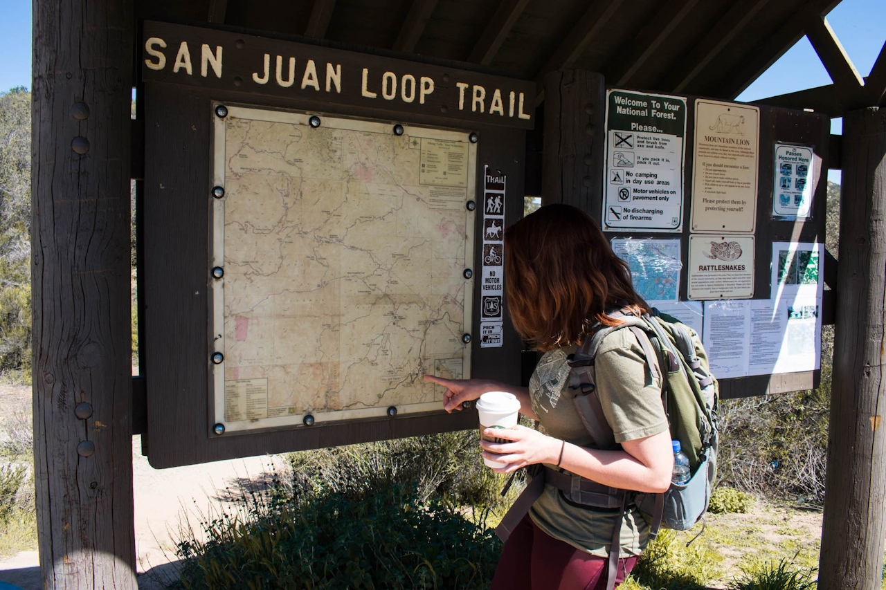
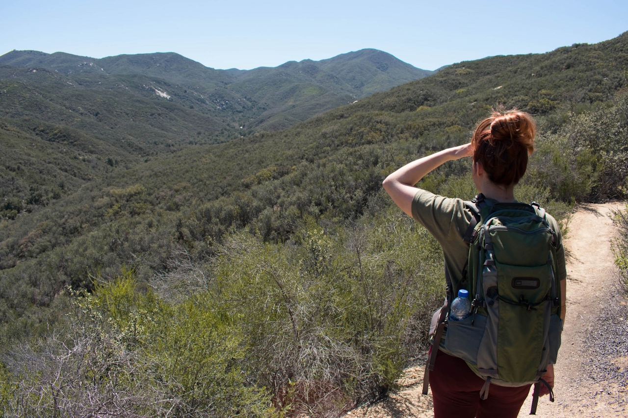
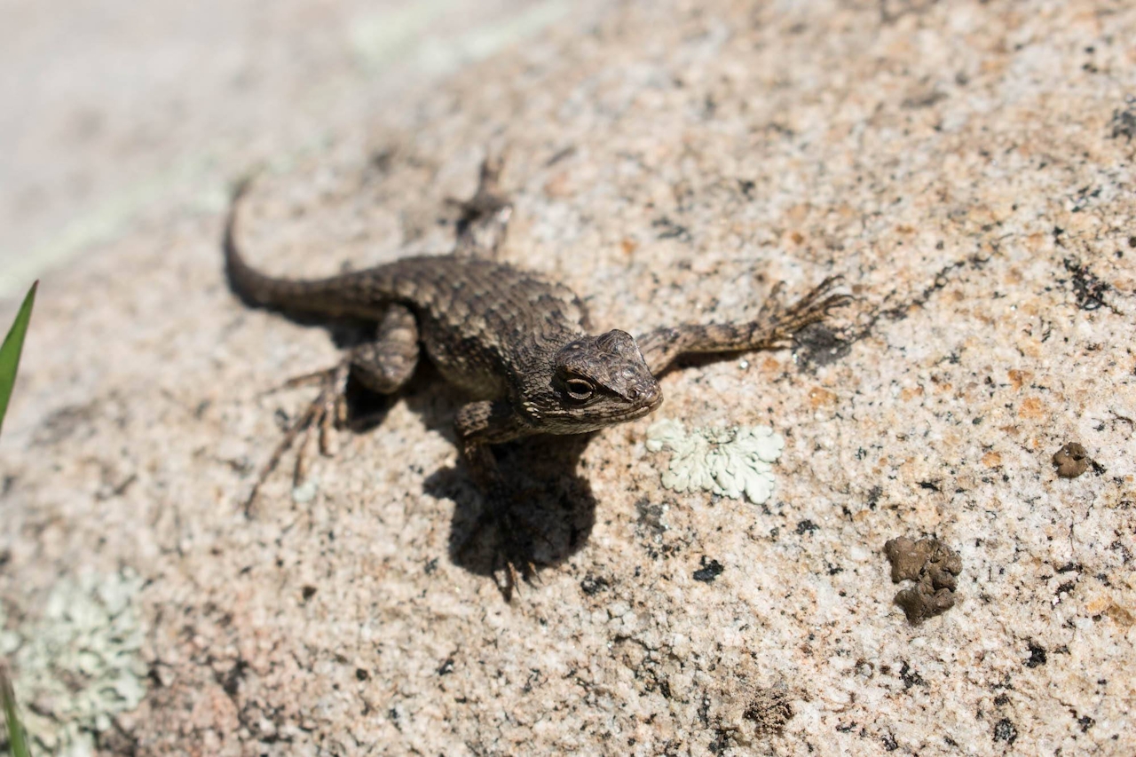
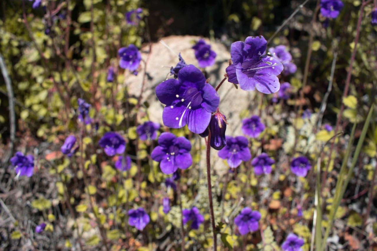
From the parking lot, start out going counterclockwise on the San Juan Loop Trail. You’ll see San Juan Falls along the way—a cool bonus! About a mile into the hike, you will see a clearly marked turn for Chiquito Trail. You’ll find very little shade as the trail climbs 1,571 feet into the Santa Ana Mountains. “There’s a waterfall up here?” you wonder, as you climb through the dry, shrub-covered mountains. Chaparral yucca, Indian paintbrush, and colorful bluebells brighten up the trail as dozens of lizards dart back and forth. The best part? Along the entire journey you will be rewarded with incredible panoramic views of the Cleveland National Forest.
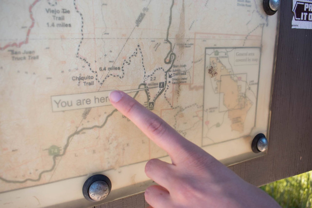
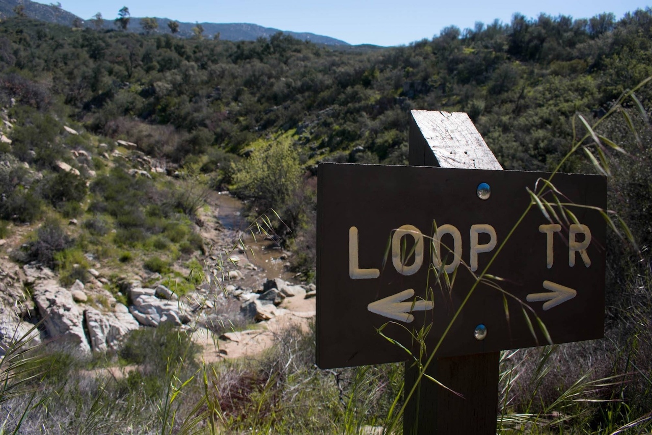
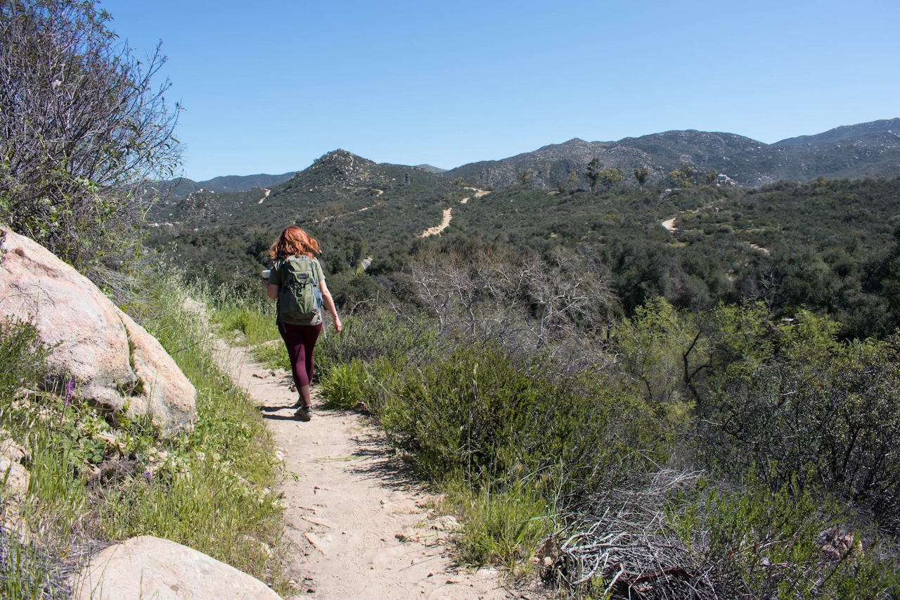
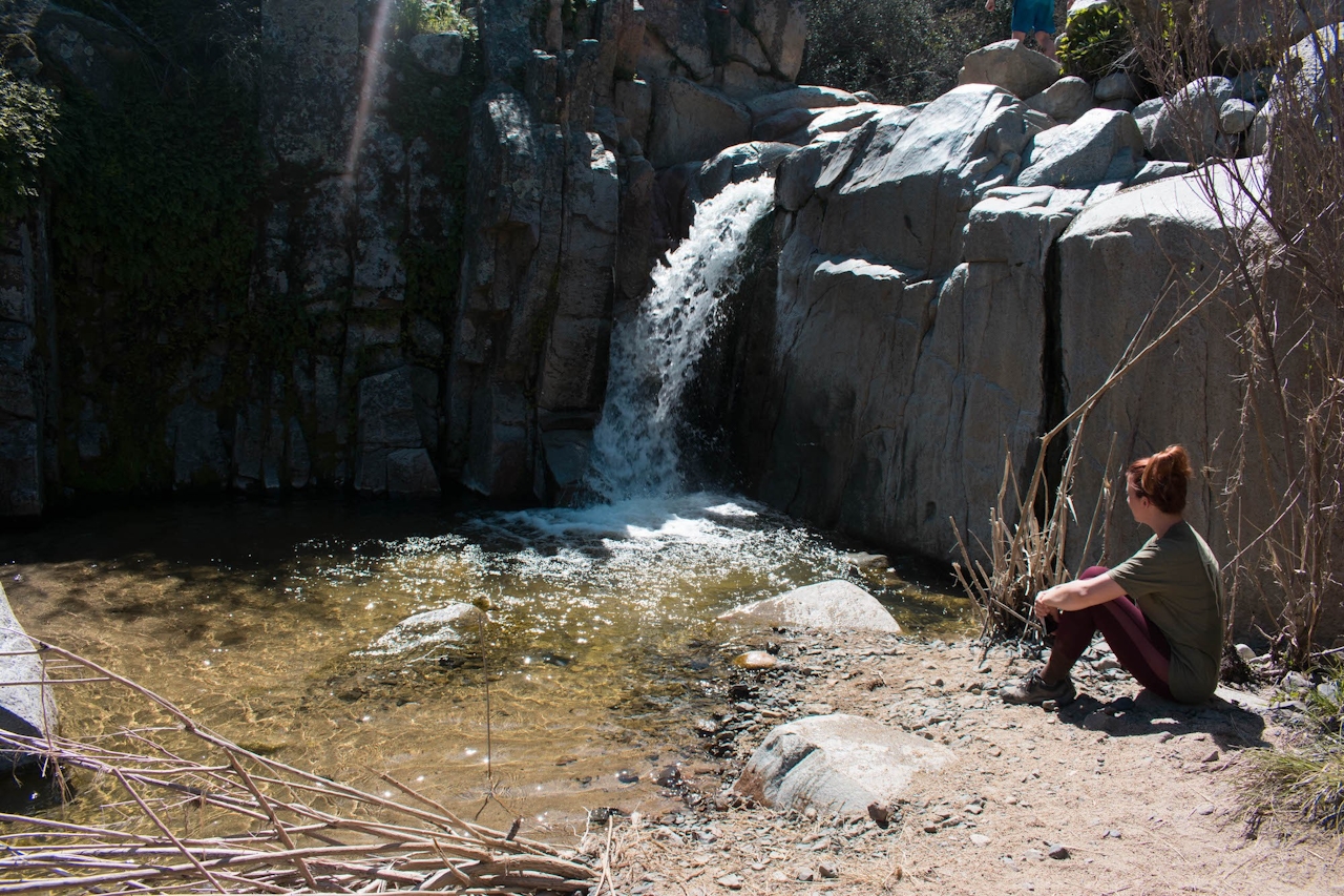
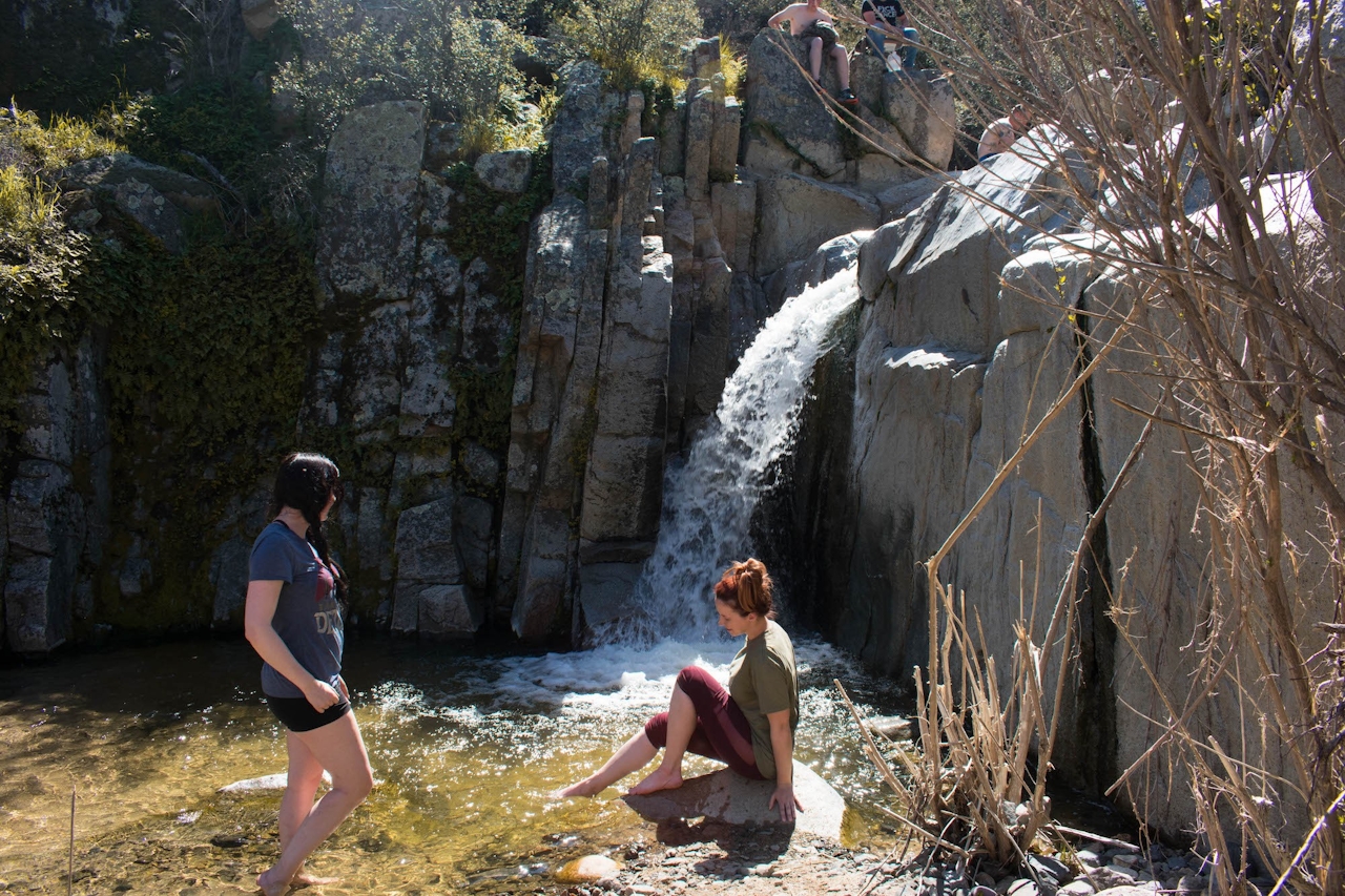
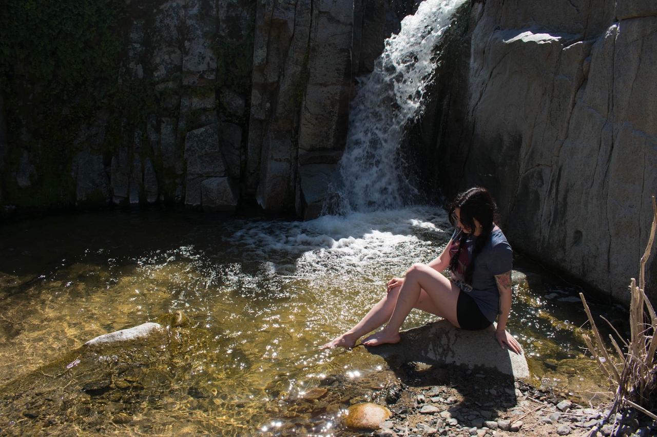
After nearly 3 miles without even a sign of a waterfall, you round a bend and there it is—a hidden oasis below you. A little boulder-scrambling will take you from your overlook to the base of the falls, where a shallow pool of cold water beckons, and you cool off after the sunny hike up.
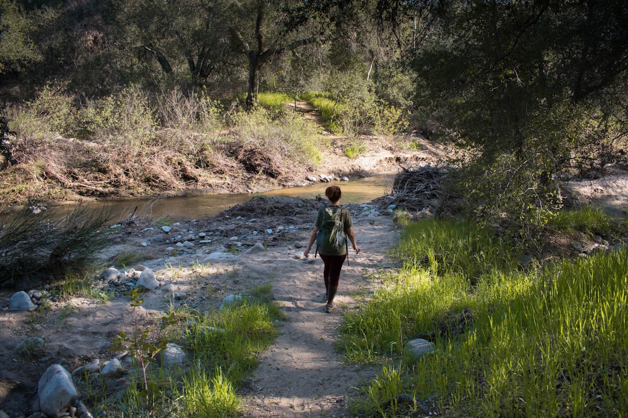
After enjoying the falls, head back the way you came. When you meet back up with the San Juan Loop Trail, bear right to complete the loop. The last mile is the most shaded and peaceful section of the entire hike as you follow the creek while listening to the sounds of frogs croaking. They’re saying, “Congratulations, Little One!”
The Chiquito Falls trailhead is located off Ortega Hwy. (CA-74) in Lake Elsinore, directly across the road from Ortega Oaks Candy Store. From the I-15, head west on Ortega Hwy. into the mountains, away from Lake Elsinore. After 9 miles, the parking lot will be on your right. An Adventure Pass is required to park, and can be purchased in the candy store for $5. Dog-friendly!







