Paint Brushy
Hike a Loop at Brushy Peak Regional Preserve in Livermore


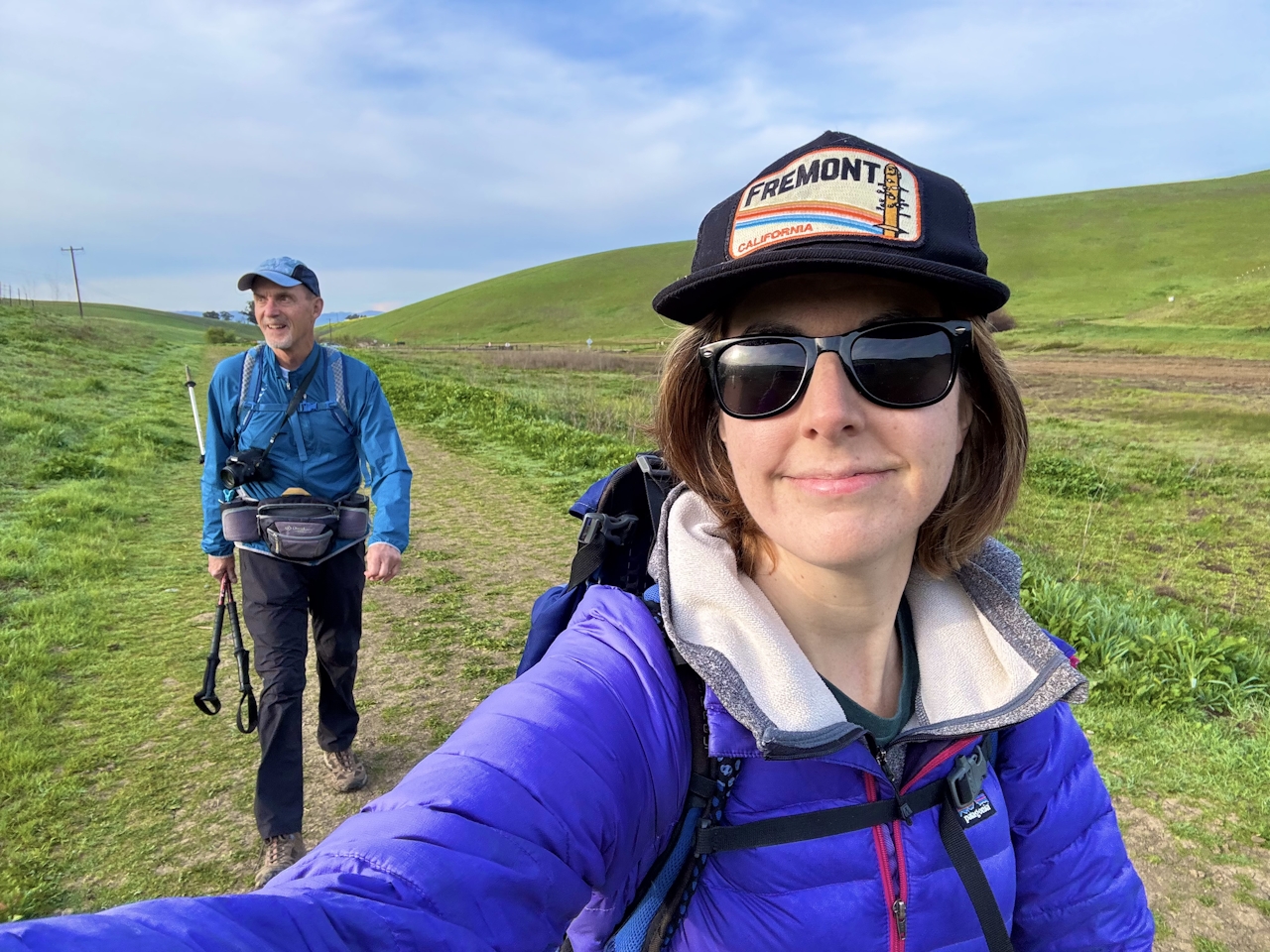
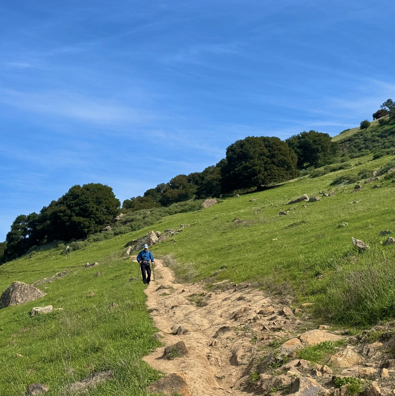
This time of year you’ll have good reason to head for the hills—the electric-green rolling hills of Brushy Peak Regional Preserve in Livermore. This 4.5-mile loop hike is like stepping into a plein air painting, with cattle casually grazing on surrounding meadows the color of spearmint.
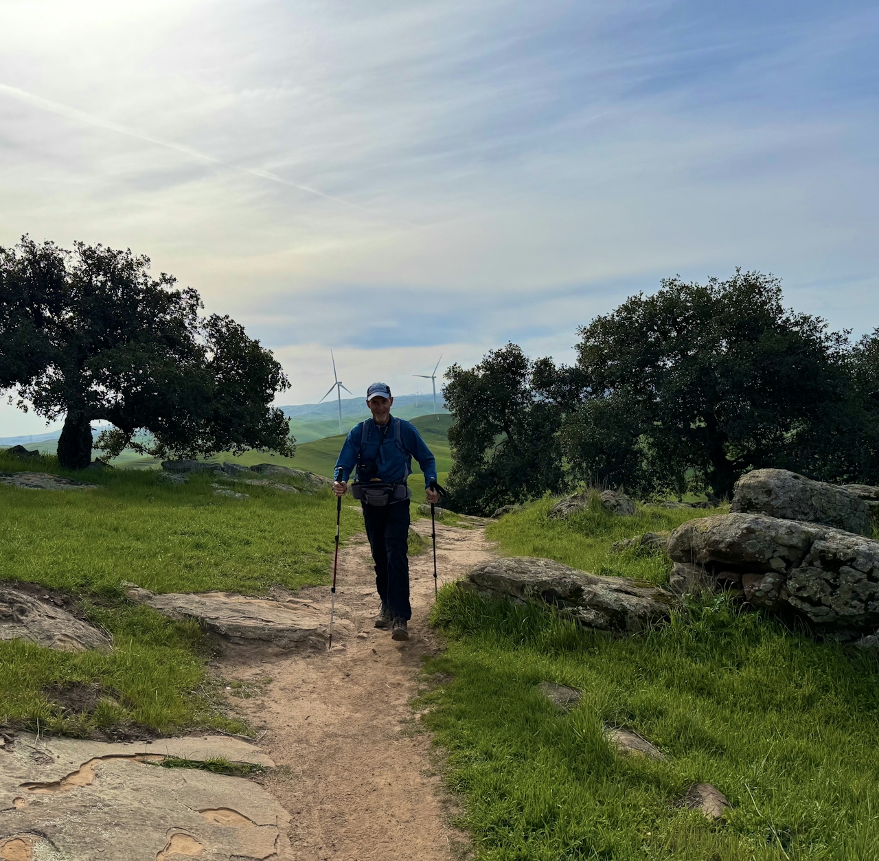
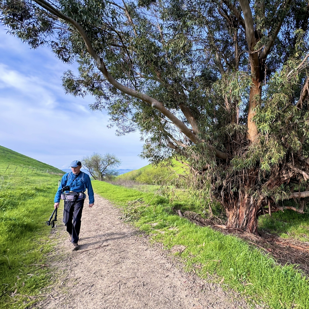
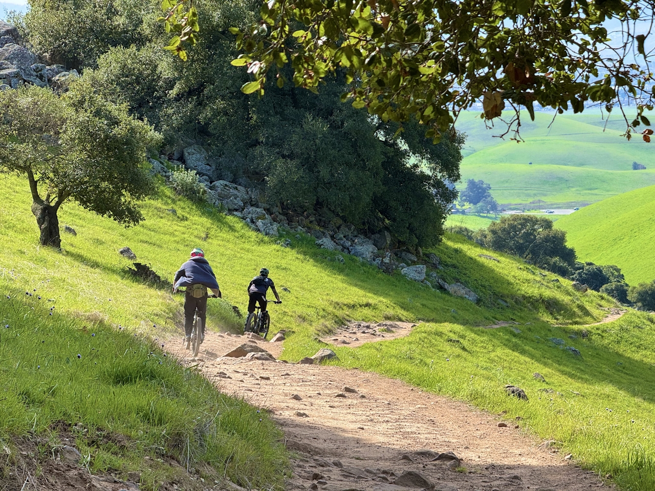
From the Laughlin Ranch staging area, head north through the cattle gate to begin the Brushy Peak Loop Trail. As the trail begins to rise up the side of the mountain, keep an eye out for patches of wildflowers weaving through the pastures. Bright purple lupin and yellow-orange fiddlenecks color the route.
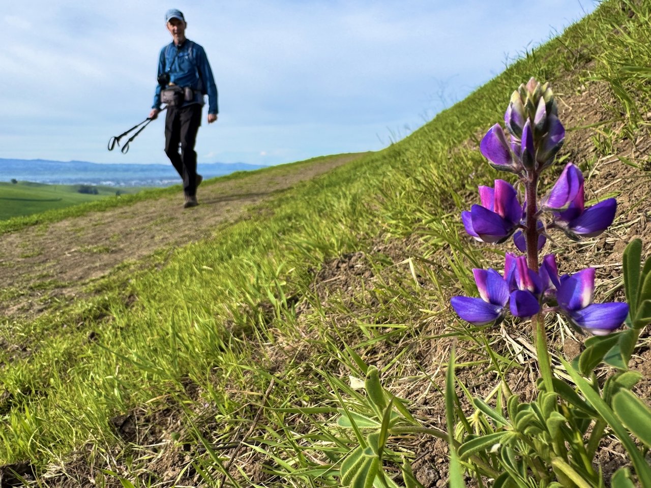
As the ground grows steep and rocky, several unofficial footpaths branch off from the main path, so be sure to continue following the official trail signs for Brushy Peak Loop Trail.
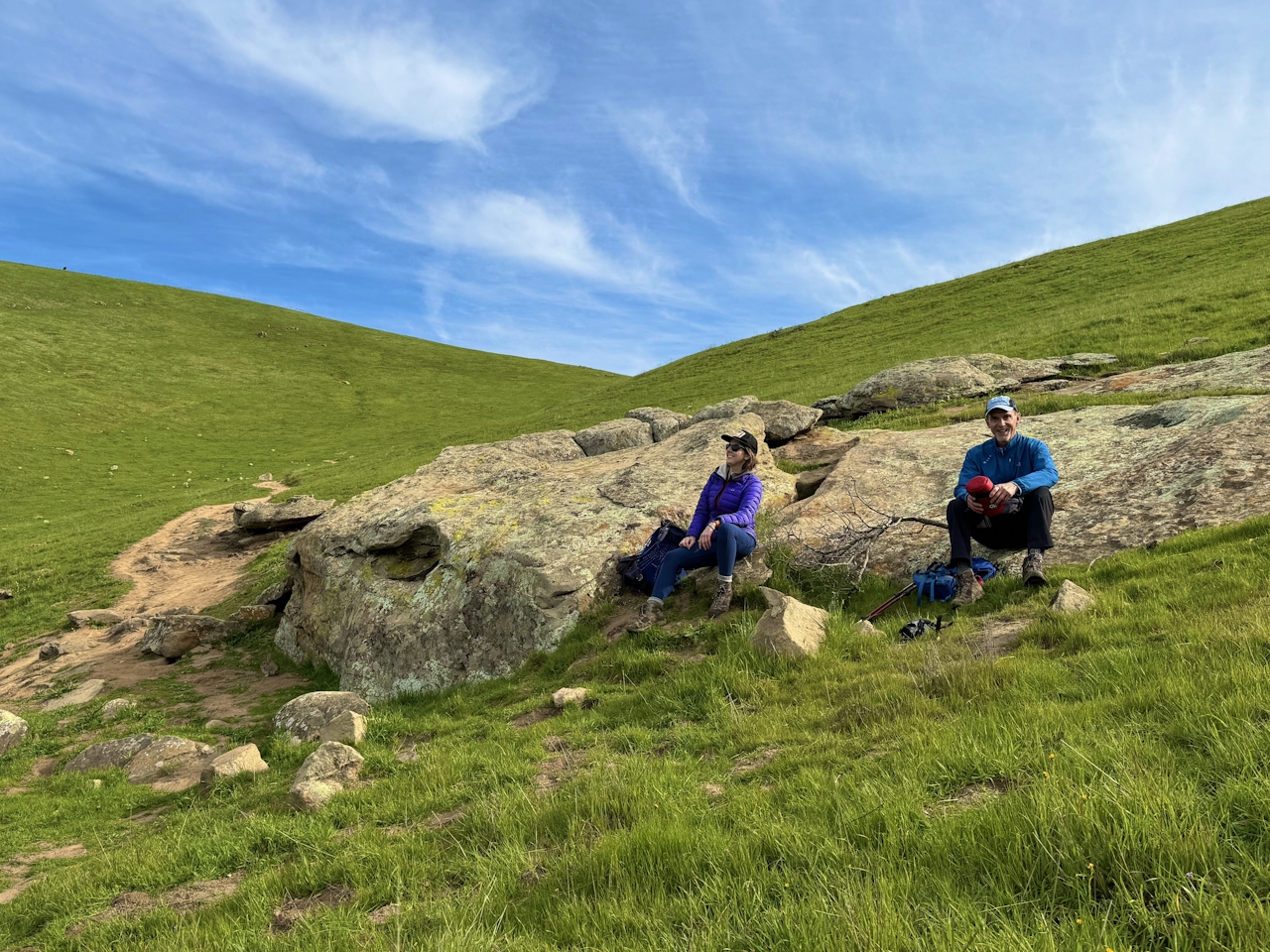
This final uphill section winds through a section of boulders and groves, a stark change from the grassland below.
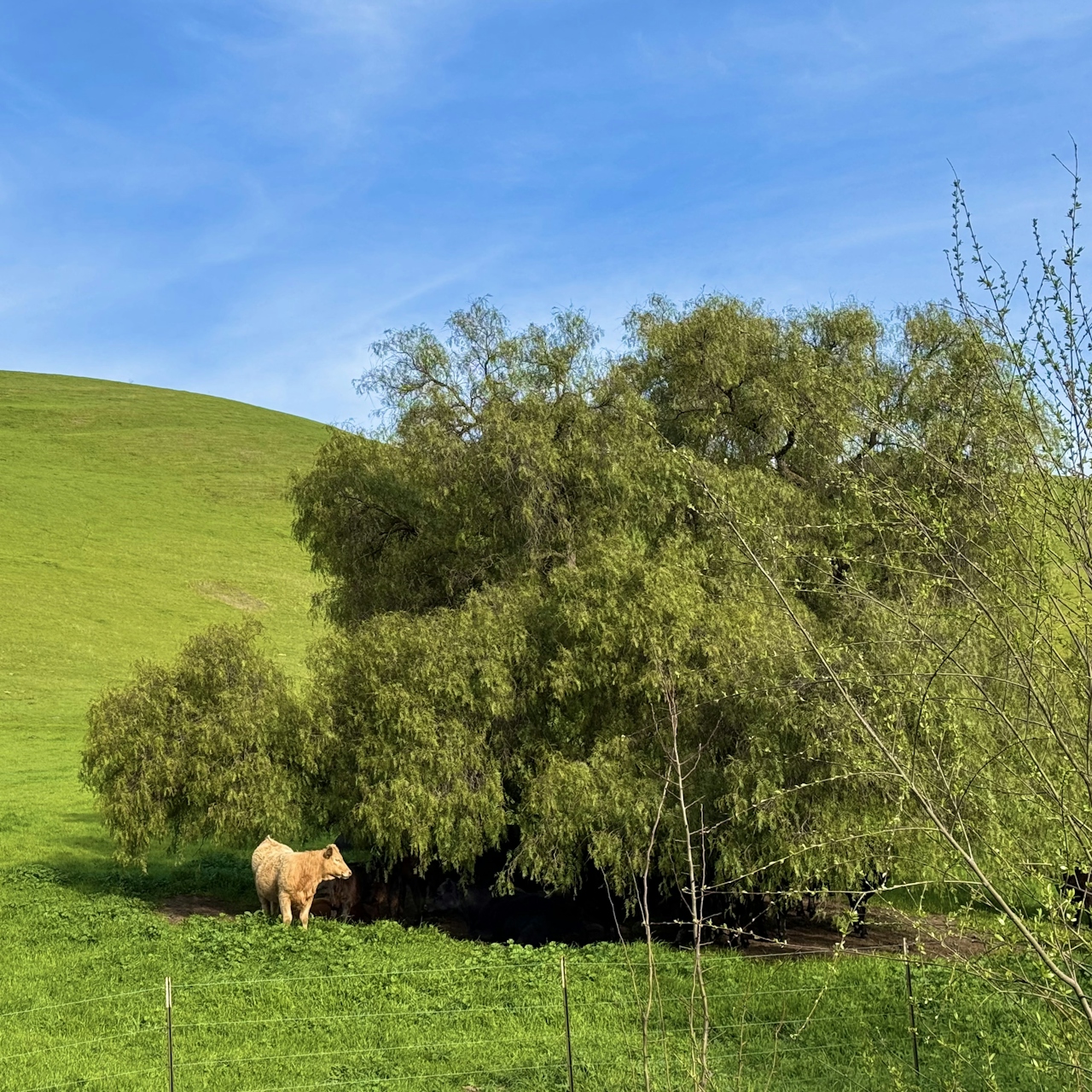
Finally, at 1,400 feet, you’ll reach the saddle between the mountain’s two peaks, the high point of the loop in all the ways: rolling emerald-green hills stretch from the Livermore Valley to the Diablo Mountain Range in the distance.
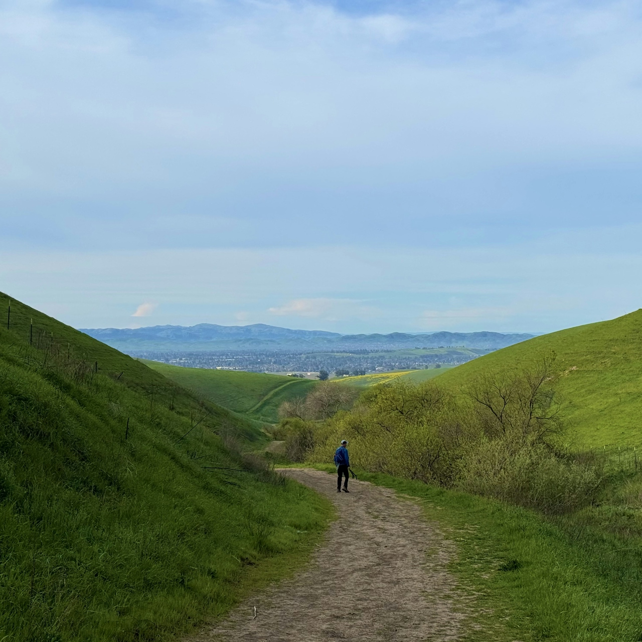
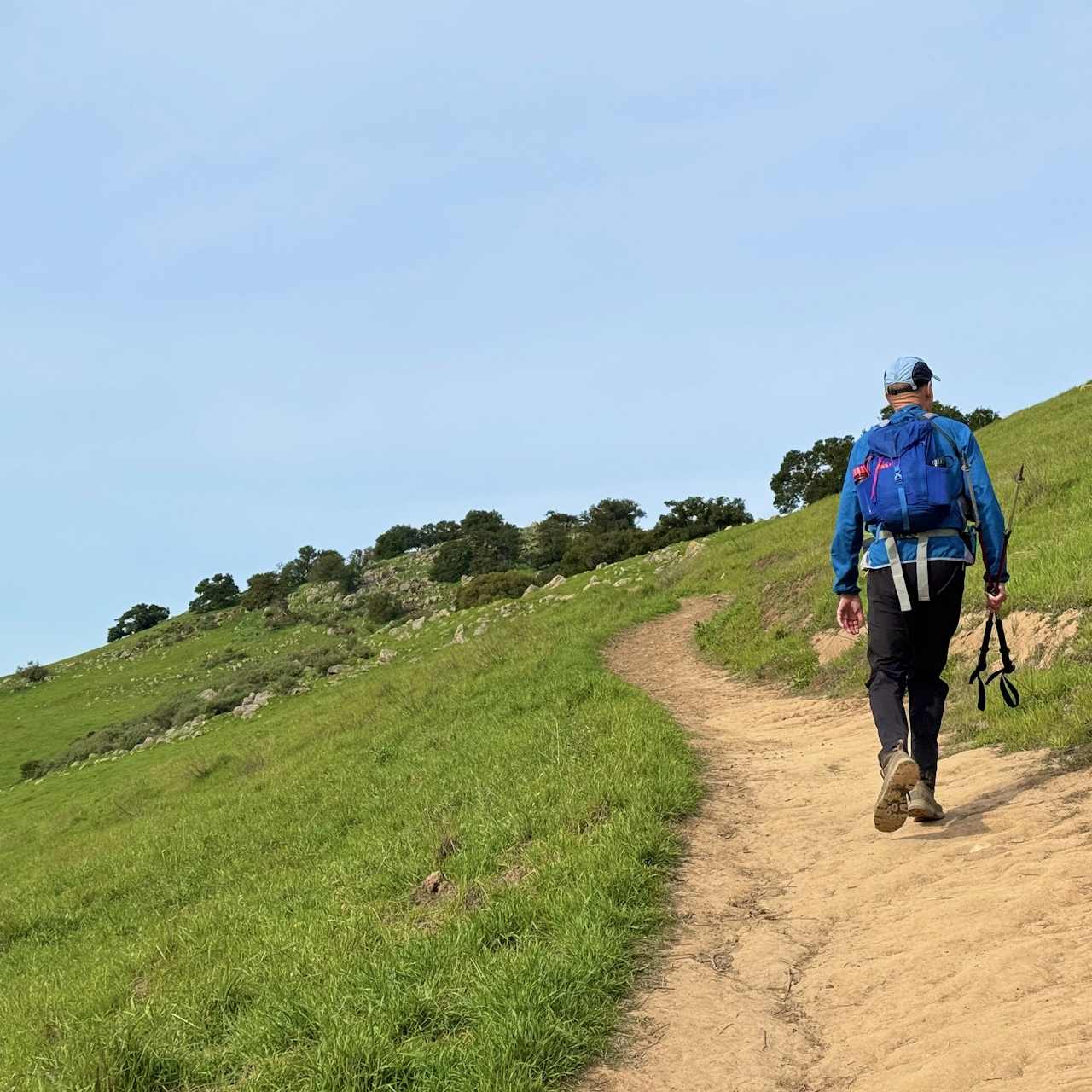
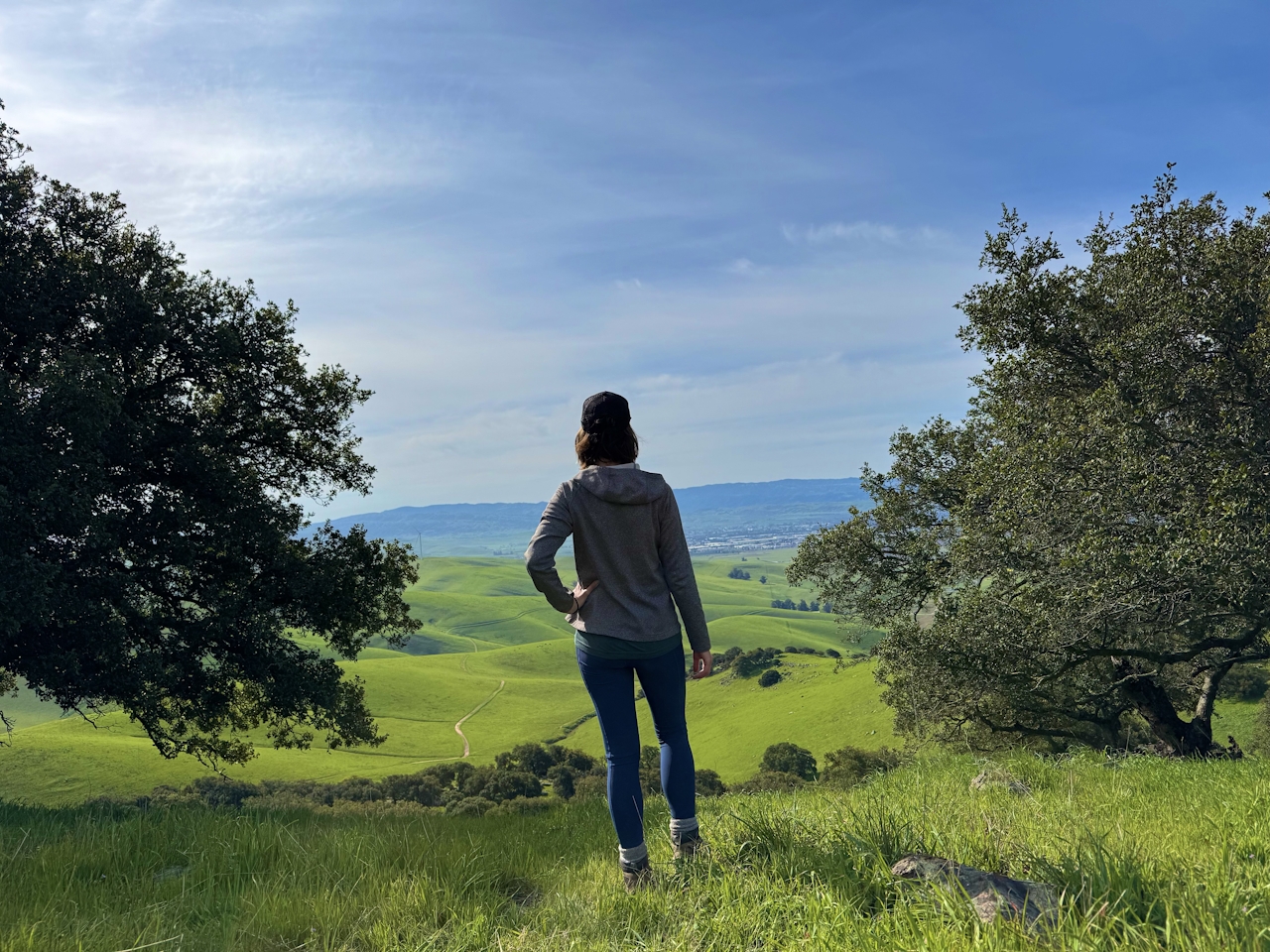
Continue down Brushy Peak Loop Trail as it descends through the rocky terrain. At the intersection with the West Side Loop Trail, turn left.
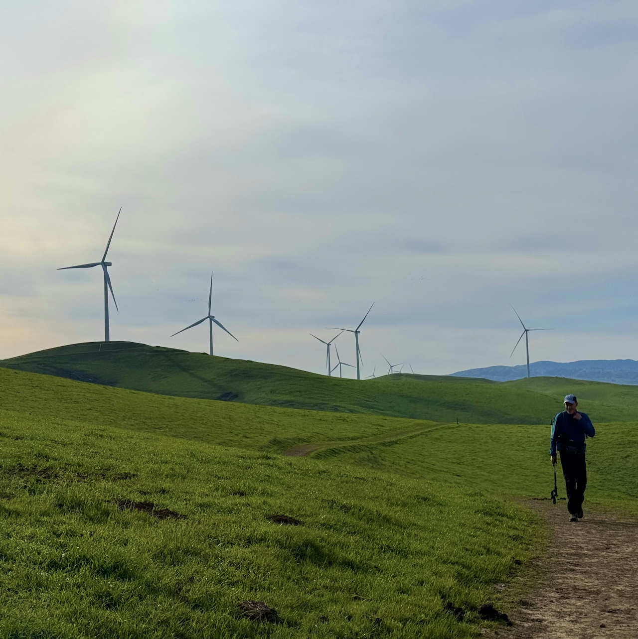
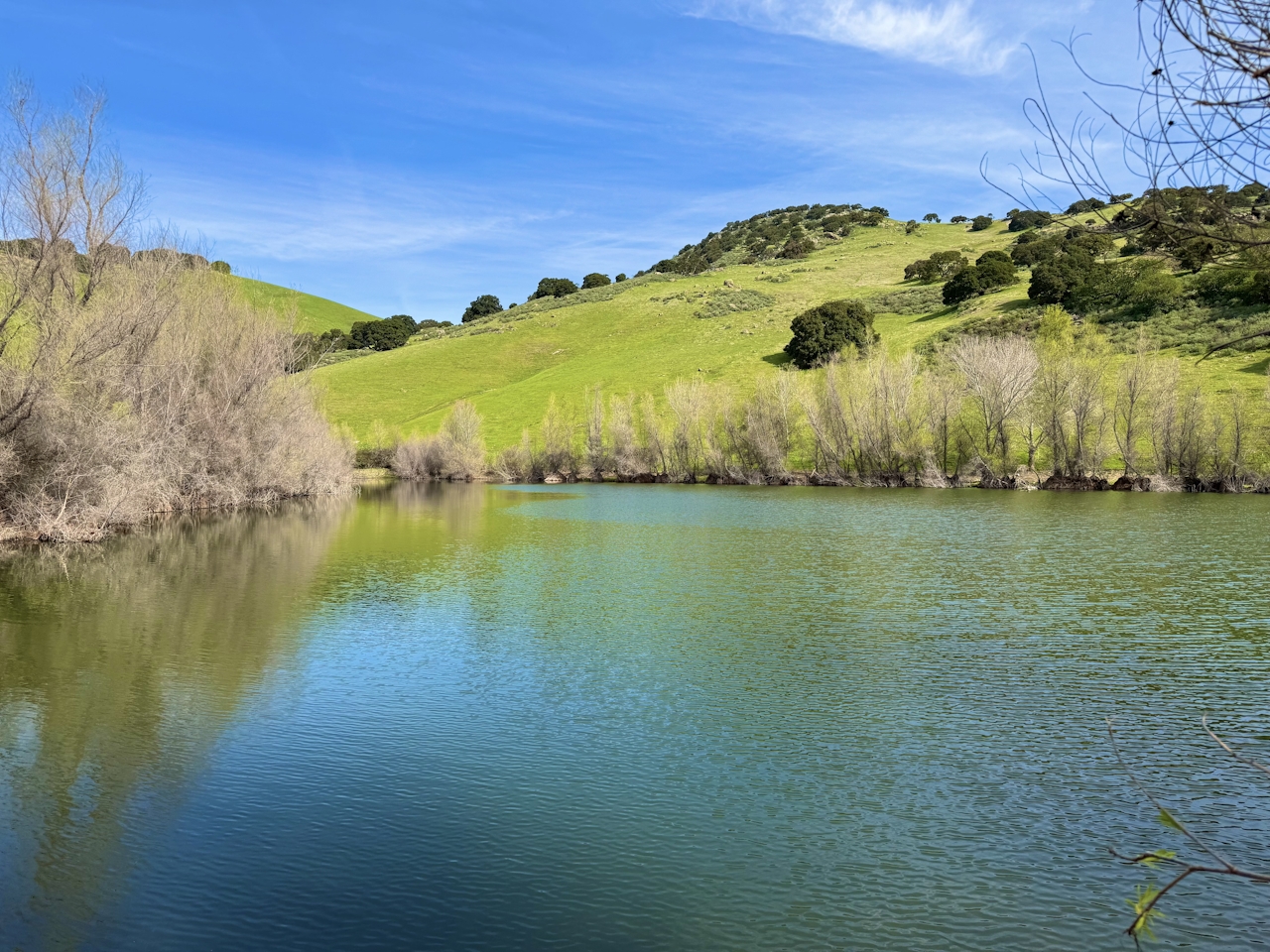
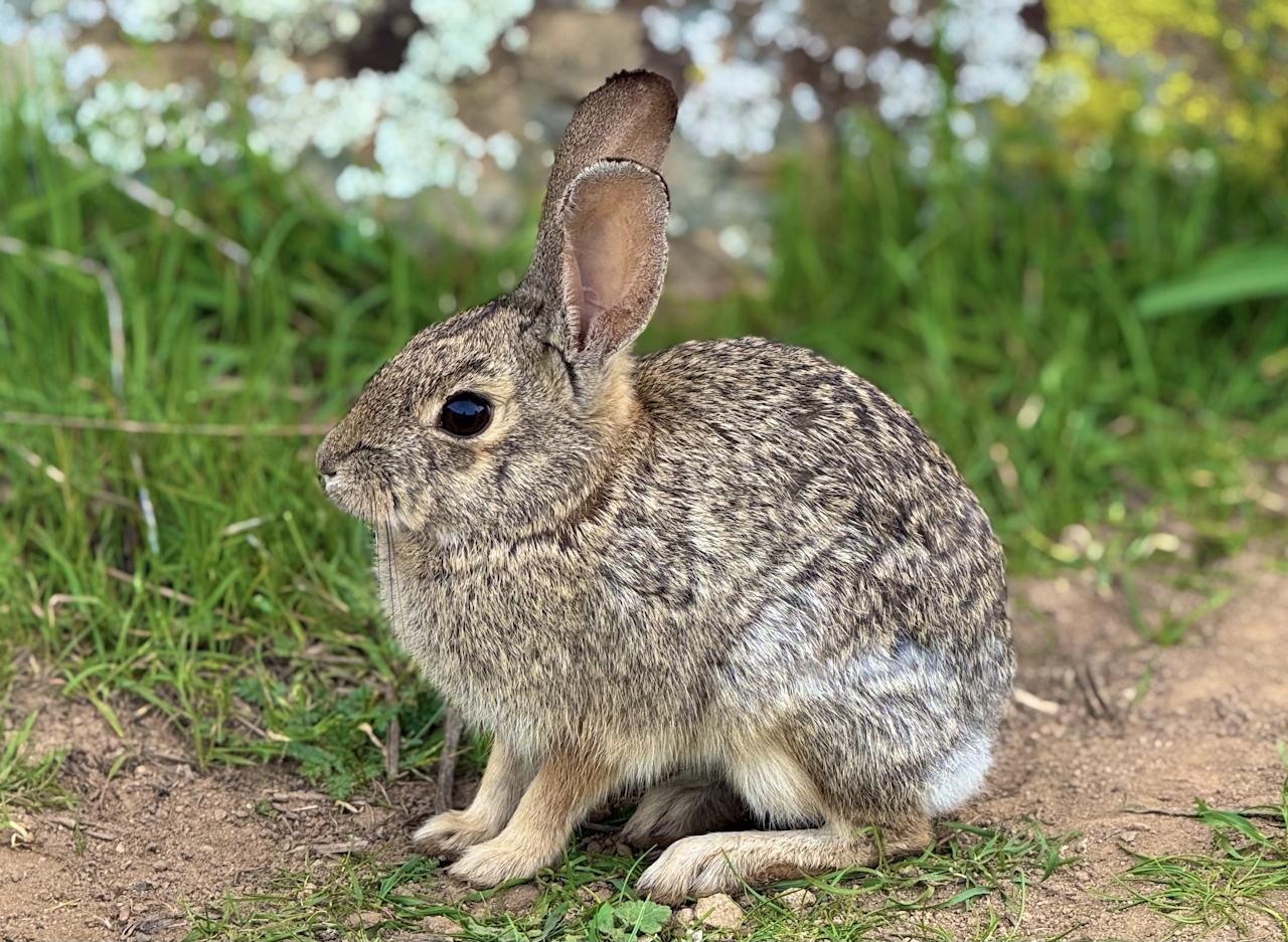
This gradual descent follows a seasonal creek and passes by a small pond filled with frogs, salamanders, and water fowl. Continue straight to return to the parking lot.
Brushy Peak Regional Preserve is located on Laughlin Rd. in Livermore. The park opens at 8 a.m. Check their website for monthly closing times, as they change. Dogs and bikes welcome.
Story and photos by Heather Werner, @heath.er.wer.ner