Will You Accept This Rose?
Berkeley Stairway Hike and Rose Garden


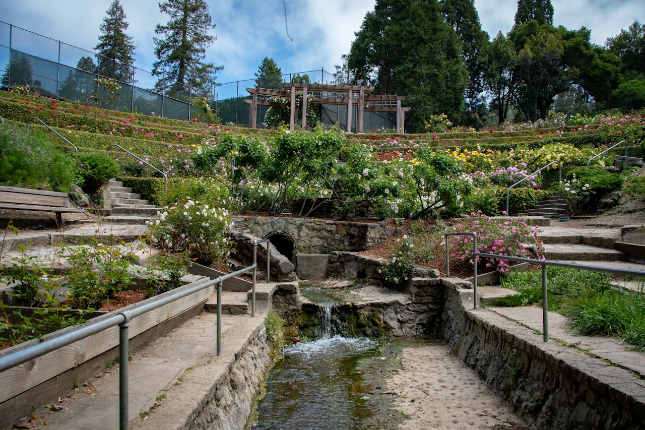
Not every rose ceremony comes with a kiss or tears. Take the Berkeley Rose Garden, the centerpiece and starting point for a colorful urban walk with hidden staircases. Instead of tears, you get tiers: the roses here burst forth in brilliance with 1,500 individual rose bushes in over 250 varieties.
Entering the garden from Euclid Avenue, take in the view of the Golden Gate and San Francisco before descending into sheer beauty. The base of the amphitheater-like design is accented by Codornices Creek, the most intact creek remaining in the Berkeley area.
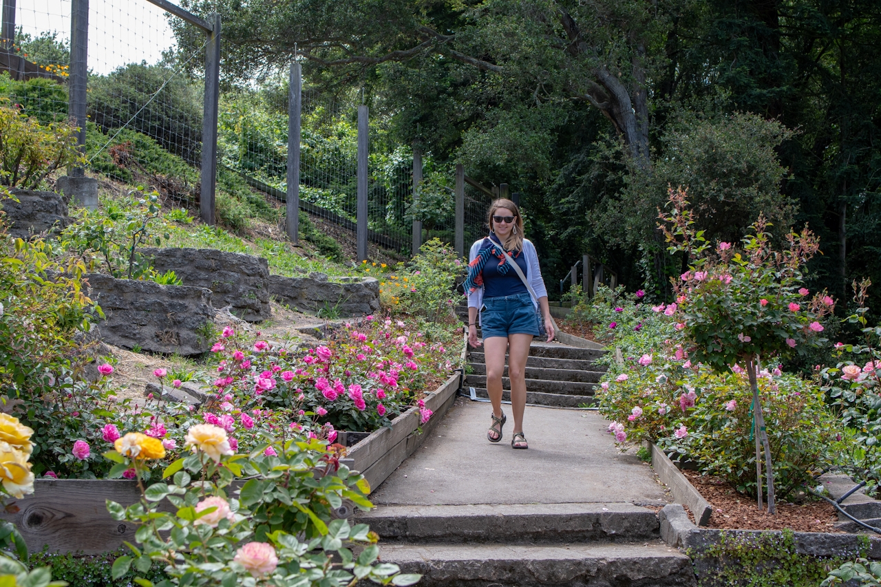
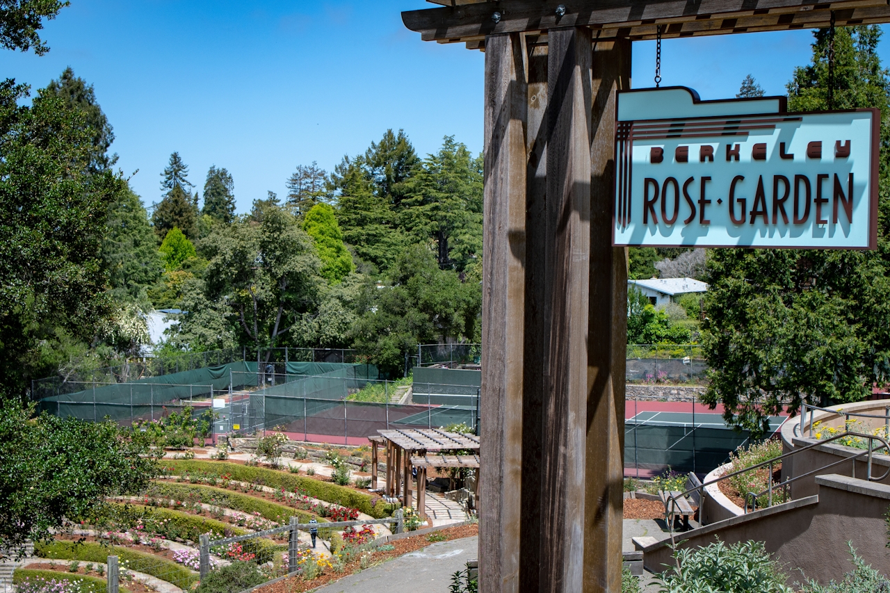
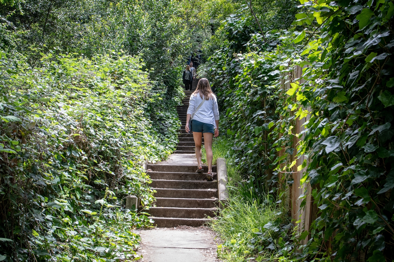
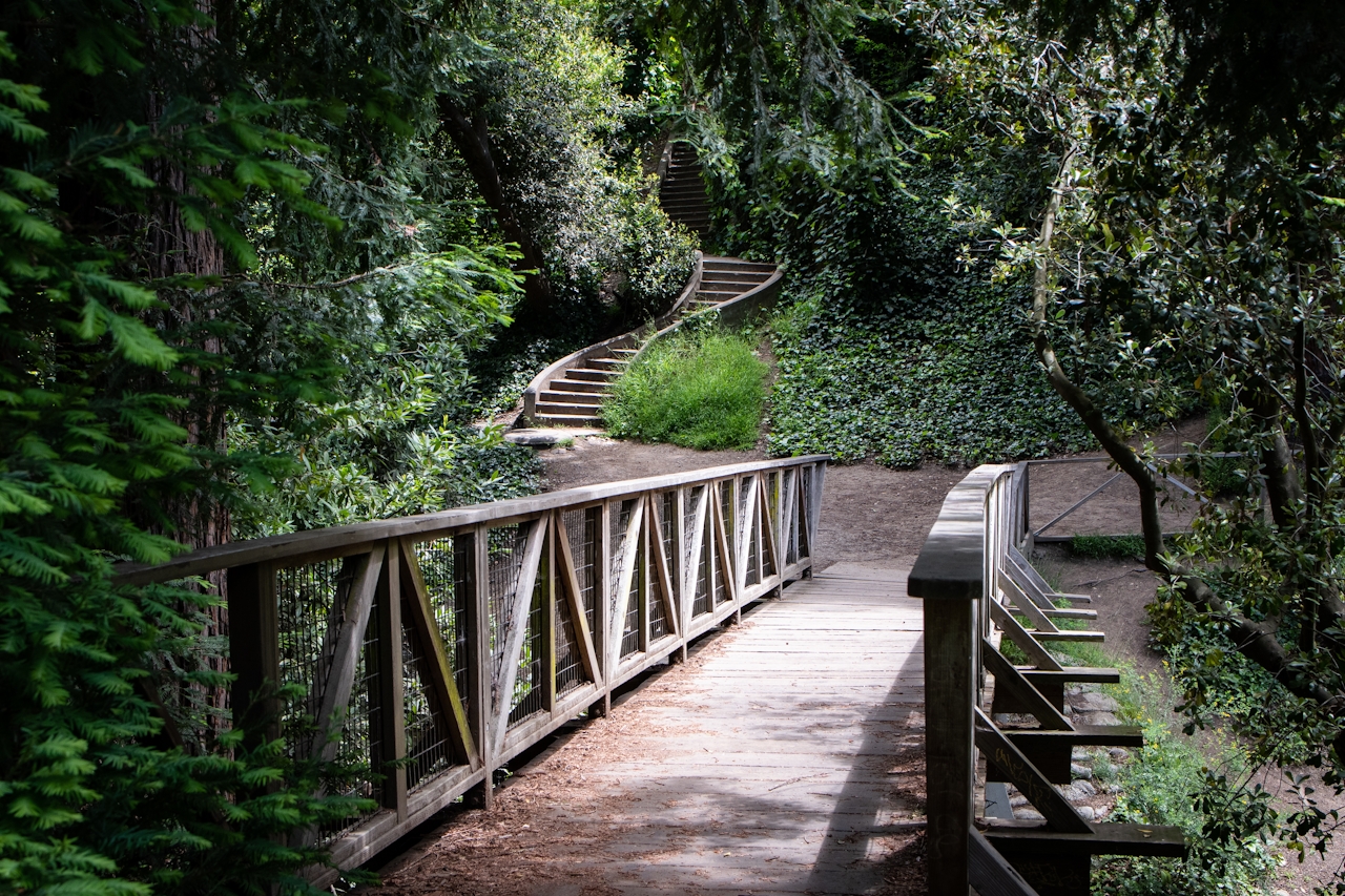
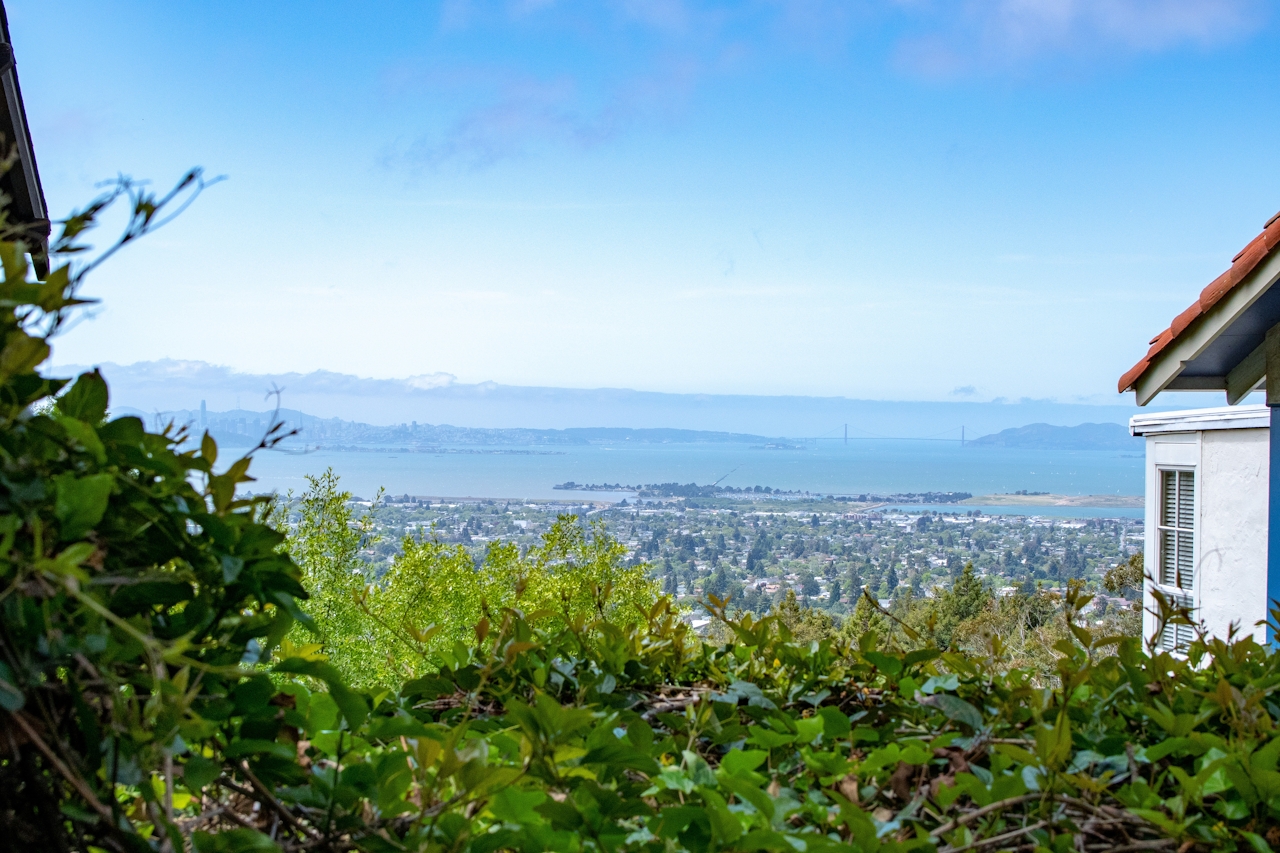
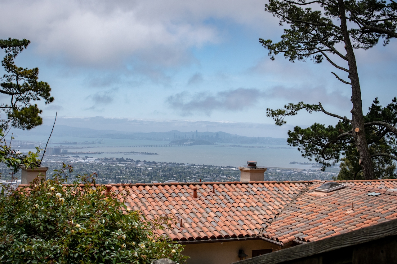
After taking in the sights and sounds of the Rose Garden, begin a nearly 2.5-mile hike up some of Berkeley’s hidden staircases meandering their way between century-old homes and modern mansions into the hills. Following a route (map below) from the main entrance of the garden next to the tennis courts, you’ll encounter a total of eleven pathways and staircases (marked by street signs) climbing over 600 feet as you wind along roads and staircases accented by beautiful flowers, landscaping, and spectacular views of the bay.
Bonus: Pack a cooler in your car and have a nice picnic in Codornices Park located just across the street from the rose garden.
Park on Euclid Ave. as close to the rose garden as possible and be sure to note the 2-hour parking limit in this area. After spending time in the rose garden, leave through the entrance nearest the tennis courts and take a left towards the restrooms, where you can fill up a water bottle if needed. A map of the hike can be found HERE to assist you along the way. Your first set of stairs is just past the bathrooms, where you will climb up to Euclid Ave. From there head north to the corner of Euclid and Eunice St. and cross the street into Codornices Park, where you will join up with the Tamalpais Path. Climb up the stairs after crossing the street and continue up the hill on Shasta Rd. to Keith Ave. Near the first bend on Keith Ave., take the Covert Path up to Keeler Ave. and take a right to get to Whitaker Path, which will end on Sterling Ave. Again take a right and head down to Shasta Path on your left, followed by another right on Shasta Rd. to the Tilden Path. At this point you will have reached Grizzly Peak Blvd. Take a left on Grizzly Peak and head up the hill to begin your descent on the Stoddard Path down to Miller Ave. Take a right and then descend on Stephenson Path until you reach Keeler Ave. A left on Keeler Ave. will take you to Shasta Rd. and the rose garden via Tamalpais Rd. and Path.







